
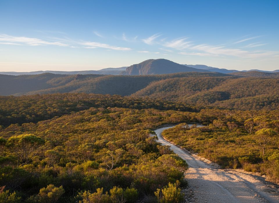
Place · 0.8 mi away
Easy
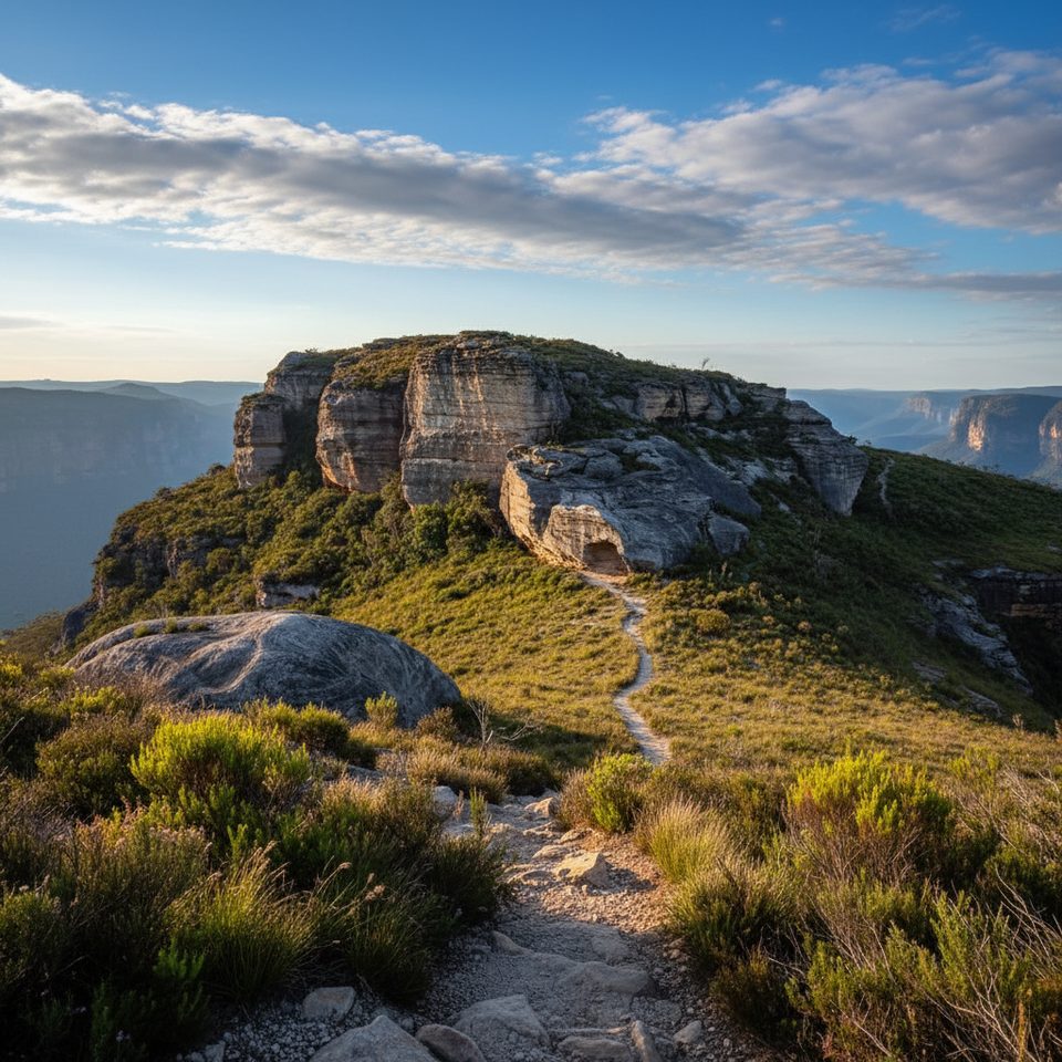
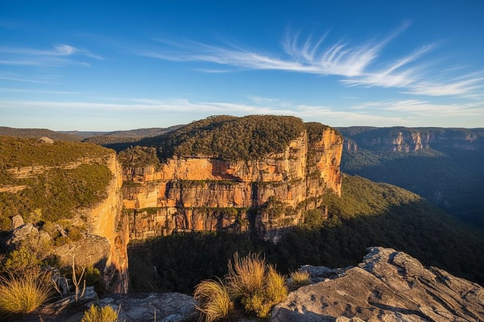
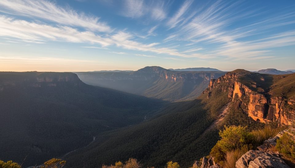
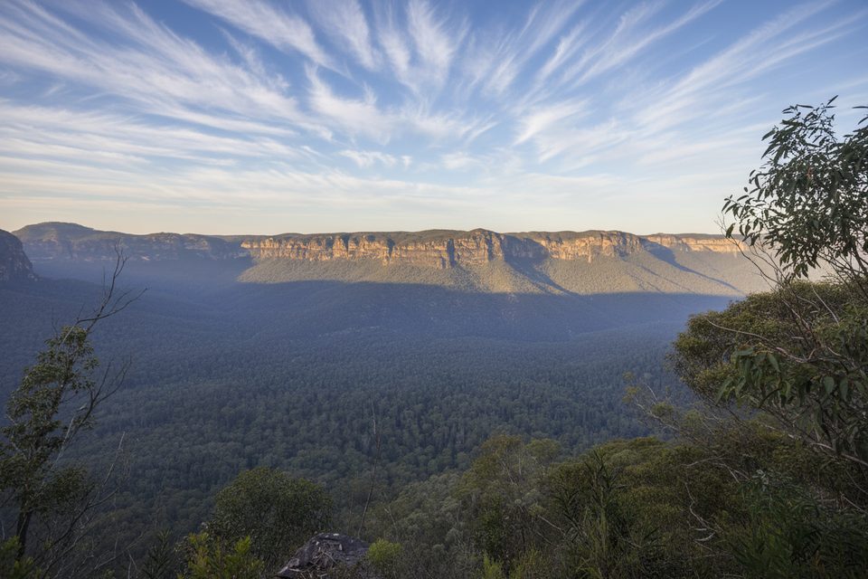
This is a short, mostly flat rim walk that punches way above its weight for views. From the first steps you’re staring at classic Blue Mountains sandstone cliffs, with the finale at Butterbox Point delivering an airy perch over Butterbox Canyon and the Grose Valley. If you want big scenery without a big effort, this is it.
From the Mount Hay and Butterbox Point carpark, follow the signed track across open scrub to the point. It’s an out-and-back of about 1.9 miles total, with an optional loop around the main rocky outcrop on the return for a slightly different angle. The trail is generally straightforward and well-worn, but the last approach to the point includes a brief scramble down a couple of rocks and some exposed sections—take it slow if heights make you uneasy.
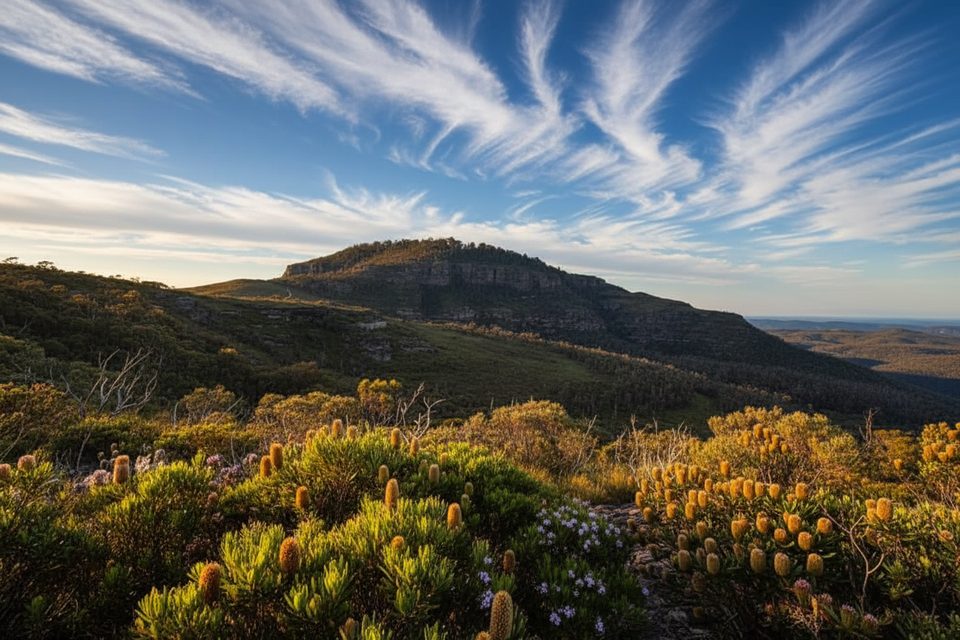
Expect sweeping panoramas of the Grose Valley and the sculpted sandstone escarpments that define this part of the Blue Mountains. Mount Hay looms nearby for context and scale. Keep an eye out for a small cave detour along the way. Vegetation ranges from resilient open scrub to patches of regrowth after past bushfires—tough country plants thriving on thin soils and wind.
It’s accessible year-round, but spring and autumn are the sweet spot—milder temperatures, potential wildflowers, and generally calmer conditions. The point is fully exposed: avoid the ledge in high winds, and expect summer heat to feel amplified. Photographers should aim for early or late light to really pull out the relief in the cliffs and the depth of the valley.
Wear long pants; the scrub near the point can be scratchy. There are no facilities or water—carry what you need. The track is simple to follow, but you’re in a remote-feeling corner of the park, so a basic map or GPS is smart. Take extra care near cliff edges and on the short scramble—especially if it’s windy or you’re sensitive to exposure.
A highly rewarding, low-effort outing with standout views and far fewer people than the marquee lookouts. If you crave infrastructure and railings, pick a busier viewpoint; if you want wild edges and big horizons in under two hours, head for Butterbox.
Park at the Mount Hay and Butterbox Point Carpark at the end of Mount Hay Road; the track starts from signed access at the carpark.
Short exposed scramble to the point with sheer drop-offs; avoid the ledge in high winds. Scratchy vegetation near the end. No facilities or water—carry enough and use care with navigation in a remote-feeling area.
Place · 0.8 mi away
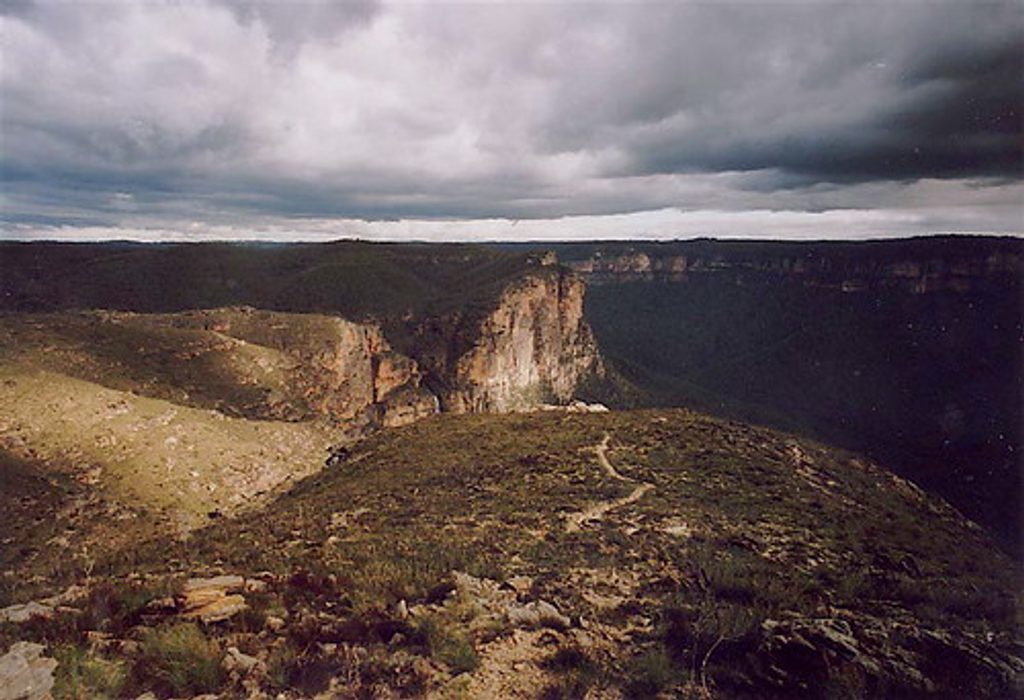
Place · 2.6 mi away
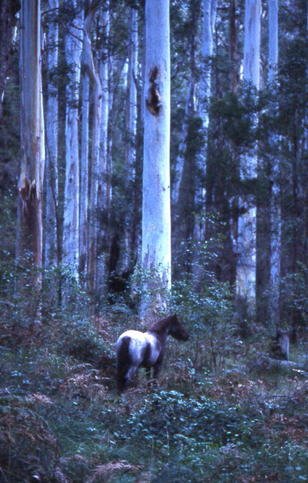
Place · 2.8 mi away
Place · 2.9 mi away
Moderate · 0 mi away
Moderate · 2.3 mi away
Moderate · 2.9 mi away
Challenging · 3.8 mi away

Parkwolf Tour Guide
