
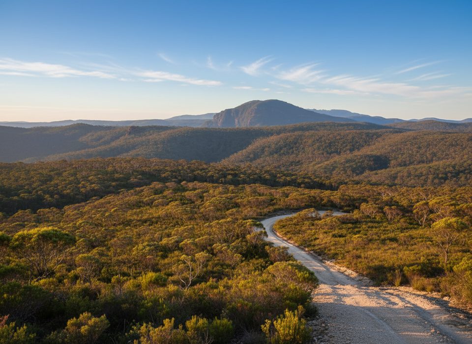
Place · 0.8 mi away
Moderate
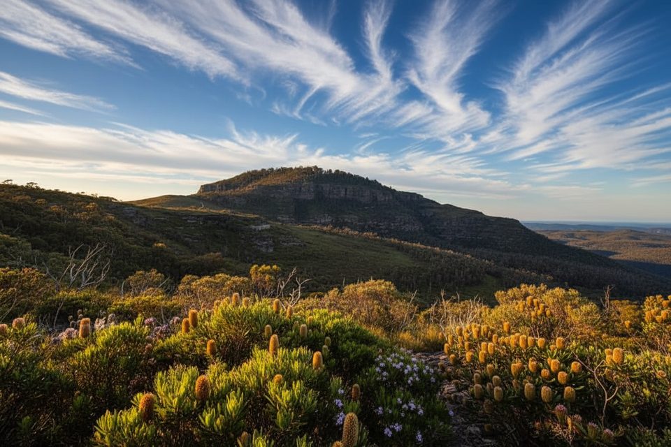
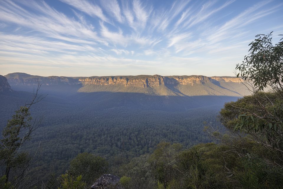
This is a short, punchy out-and-back from Mount Hay carpark to a series of rocky outcrops with big Grose Valley views. Expect roughly 1.7 miles total (return). Most hikers spend about an hour, more if you linger on the ledges. It’s all about the vistas on the approach—don’t expect much at the forested high point itself.
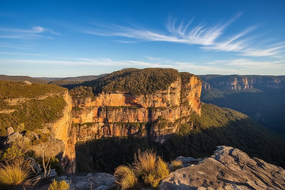
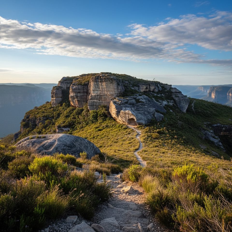
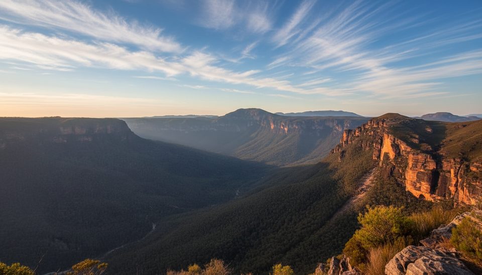
The route threads classic Blue Mountains heath and woodland and climbs onto sandstone crags overlooking the Grose Valley’s dramatic escarpments. In spring, wildflowers dot the heath. The headline views come from the rocky ledges and outcrops below/around the true summit, not from the treed summit itself.
From the carpark, pass the information board and almost immediately hit a fork—go right for Mount Hay. The track is clear at first, then grows steeper and rockier, with occasional easy scrambles near the “top crags.” Pullouts on rock ledges make perfect photo stops. If you have extra time, the left fork leads to Butterbox Point—another superb lookout many people combine with the summit on the same visit.
Moderate overall with short, steep pinches and uneven, rocky surfaces near the top. Elevation gain is concentrated toward the upper crags (about 110–150 m total). Signage is minimal and the path can feel vague on the summit plateau, so a bit of bushwalking savvy helps. Cliff edges are unfenced—watch your footing.
Spring and autumn offer milder temps (and spring wildflowers). Winter days can be crisp and clear. Summer can be hot and exposed—bring plenty of water and sun protection. For photographers, the crags shine at golden hour and sunset when light rakes across the valley walls.
If you want maximum Blue Mountains drama for minimal mileage, yes. It’s a compact outing with outsized views. If you crave a signed, groomed path with amenities, this will feel rough and bare-bones. Consider adding Butterbox Point for a fuller payoff in the same area.
Park at Mount Hay carpark at the very end of Mount Hay Road. The final 12–13 km is unsealed with potholes; drive carefully (higher clearance recommended after rain). No toilets or water at the trailhead.
Unfenced cliff edges; minimal signage and a faint path near the summit. Exposed in hot weather—carry plenty of water. Unsealed access road can be rough or slippery when wet; gates may close when the park is closed.
Place · 0.8 mi away
Place · 2.6 mi away
Place · 2.8 mi away
Place · 2.9 mi away
Easy · 0 mi away
Moderate · 2.3 mi away
Moderate · 2.9 mi away
Challenging · 3.8 mi away

Parkwolf Tour Guide
