Fortress Rock Lookout

Quiet cliff-edge vantage over the Grose Valley after a short stroll
Fortress Rock Lookout, Blue Mountains National Park
InsideBlue Mountains National Park

Overview

Fortress Rock Lookout is a natural, cliff‑edge vantage reached on foot from the Fortress Ridge Trail off Mt Hay Road. It’s the quiet alternative to the busier viewpoints, delivering a big Blue Mountains payoff with very little fuss.

What You’ll See

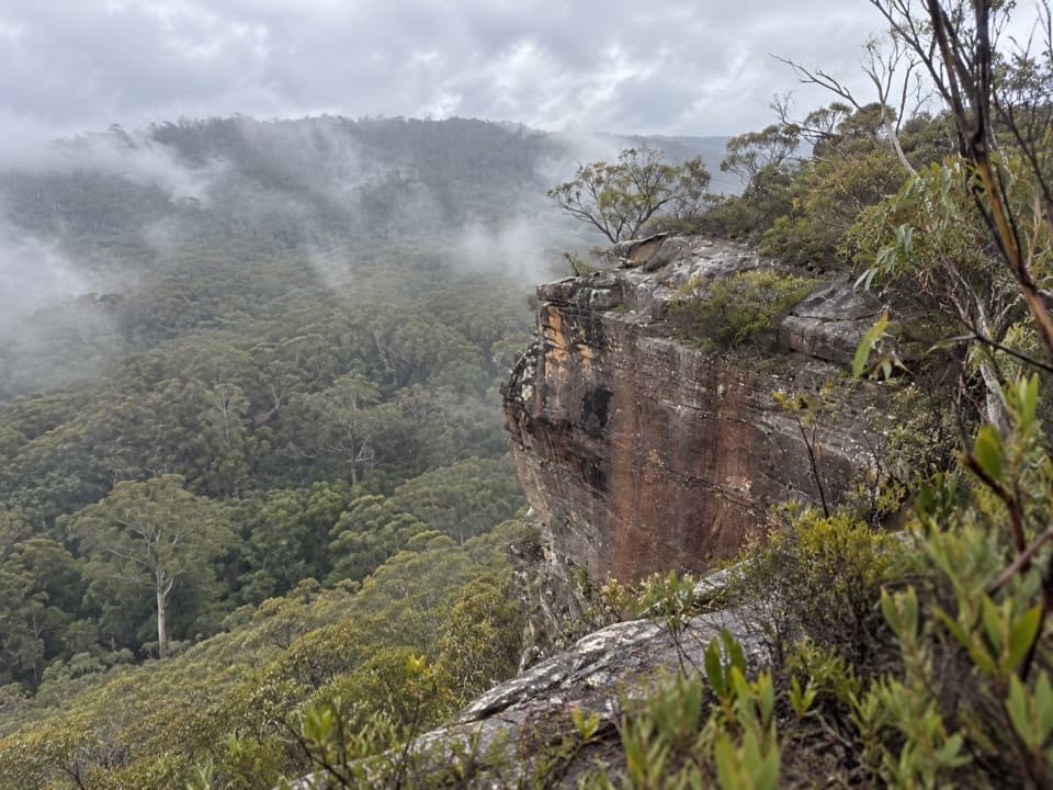
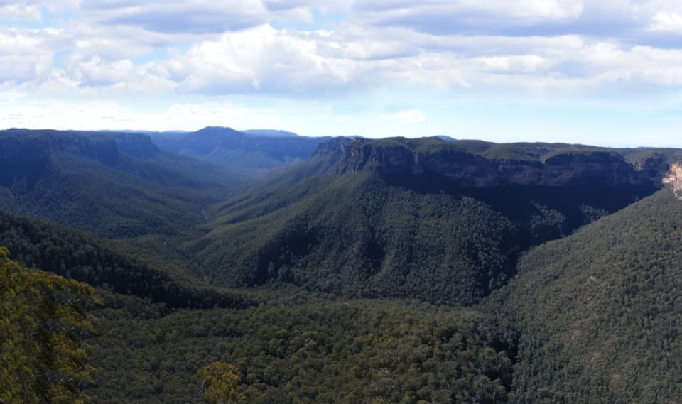
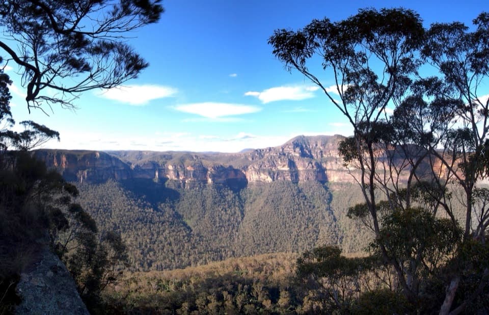
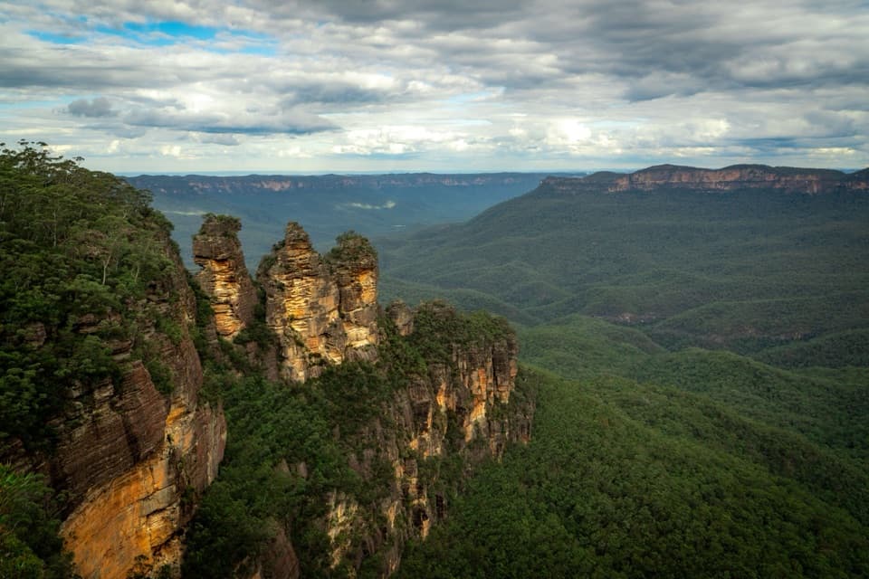
From the sandstone rim, you’re staring straight into the Grose Valley with clear sightlines to Mount Hay and Lockleys Pylon, and even distant waterfalls like Horseshoe Falls on clear days. Continue along the ridge for broader vistas; on exceptionally clear days, some vantage points reveal a glimpse of the Sydney basin.

Getting There & The Walk

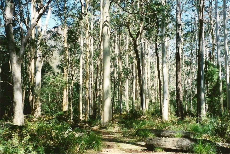
Start at the small Fortress Ridge car park on Mt Hay Road, pass the barrier, and follow the main track along the ridge. At the major junction, take the left fork to reach Fortress Rock first (don’t divert right onto the longer Lockleys route). Expect about 30–35 minutes each way (roughly 1.5 km each way), with mostly gentle grades and a short steeper section near the cliff edge. Allow 1–2 hours return if you linger at the lookout or explore nearby spurs.

Trail Character & Difficulty

This is a Grade 3, easy‑to‑moderate out‑and‑back along a mix of wide fire trail and narrower bush track with rocky outcrops near the end. Junctions are not well marked, so keep an eye on your route. The lookout itself sits right on a sheer drop—treat the edges with respect.

Why It’s Special

You get the feel of a true foot‑access lookout—no railings, no platforms—just raw sandstone and a giant valley view. It’s also notably uncrowded, even on weekends, which makes the experience feel more like wilderness than roadside tourism.

Best Time to Visit

Spring lights up the ridge with wildflowers (flannel flowers get frequent mentions), and any clear day rewards you with long views across the Grose. Crowds are typically light throughout the week and weekend, so pick a clear weather window rather than stressing about timing.

Know Before You Go

There are no services here: no toilets, no water, no picnic tables. The car park is small but usually sufficient given the low traffic. Mt Hay Road has a couple of steep declines on the approach—drive cautiously.

Safety Notes

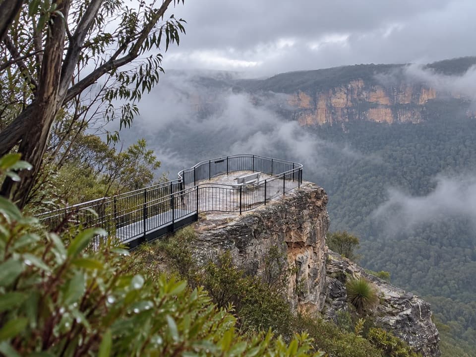
Cliff edges are unfenced and exposed. Watch footing on the rocky platforms, especially after rain or in fog, and take extra care with kids. With limited signage, a map or GPS track is smart insurance.

Pros

  • Huge Grose Valley panorama without the crowds
  • Short, straightforward walk from the Fortress Ridge car park

Cons

  • No facilities of any kind
  • Unmarked junctions can be confusing

Tips

  • At the major junction take the left fork for Fortress Rock; ignore the right turn to the longer Lockleys route.
  • Bring all your own water and snacks—there are no facilities anywhere along this walk.
  • Plan 1–2 hours return for the short out‑and‑back, longer if you explore side spurs.
  • Drive Mt Hay Road cautiously; there are a couple of steep declines before the car park.
  • Carry a map or GPS track—junctions are unmarked and easy to miss in poor visibility.
The Parkwolf tour guide sitting on a phone mounted in a car

Parkwolf Tour Guide

Like a tour guide in your car.

Save the places you found around Blue Mountains, then let Parkwolf guide the drive between them.Download Parkwolf on the App Store