Parking
Park in Scenic World’s guest multi-storey lot at the main entrance (2 m vehicle-height limit). Ride the Scenic Railway down to the valley-floor start and take the Cableway back up after the point-to-point walk.

Blue Mountains National Park, NSW
A ticketed rainforest boardwalk links valley stations beneath the canopy.
Overview
Map & elevation
Plan your hike

The highest, rockiest slopes around here are a summer buffet for grizzly bears.
Blue Mountains Tour Guide
Parkwolf is a GPS audio tour guide for Blue Mountains National Park. As you drive, it chimes in with what’s ahead: hidden gems, upcoming stops, history, geology, and wildlife, right through your car’s speakers.
See the Blue Mountains audio tourRecorded for this trailhead
Scenic World's Rides and Rainforest“Up ahead is Scenic World, where rides take you across the cliffs and down into Jamison Valley. I'd choose it if you want to experience the valley from above and below without a long bushwalk.”
Plays as you drive up to this trailhead in the Parkwolf Blue Mountains Tour Guide.
More stories near here in the app
“Fantastic app with many points of information… It’s great to just turn on while you’re driving and it gives you an audio tour of the national Park. We love it!!!!”


Trail guide
Scenic Walkway is an elevated rainforest boardwalk on the Jamison Valley floor. This record maps a 1.20-mile (1.94 km) point-to-point walk from Scenic Railway Valley Station through the connected longer boardwalk branches to the Cableway and Rainforest Room area. Allow about 50 minutes on foot, then ride back up. Scenic World describes 2.4 km of boardwalk and offers 10-, 30- and 50-minute choices, but does not publish a single itinerary for that full figure; this route follows the mapped branch sequence here, so the distances are not exact equivalents. Entry is through the ticketed attraction.
The shortest choice is the 500 m, roughly 10-minute link between the valley Railway and Cableway platforms. It is the wheelchair-accessible option. The longer branches add steep slopes and several narrow stairways; wheelchair access is not available there, and pram access is limited. Choose the short connector if you need step-free boardwalk access.
The raised timber deck and metal rails carry you among tall rainforest trees and tree ferns. Coal carts and old railway parts beside the walkway recall the valley's mining era: the Scenic Railway began as a mining incline in the 1880s and became a tourist ride in 1945.
Park at Scenic World's guest multi-storey car park at the main entrance; the height limit is 2 m. Ride the Scenic Railway down to the valley-floor start, then take the Cableway back up from the other end. The café and restaurant are at Top Station above the walk, not along the boardwalk. Ordinary pets are prohibited in the national park; Scenic World welcomes guide, hearing and assistance dogs.
Wildlife
 58 sightingsGrey KangarooMost seen around 6 AMSighting map
 43 sightingsWombatMost seen around 6 PMSighting map
 18 sightingsRed-necked WallabyMost seen around 6 PMSighting map
 53 sightingsSwamp WallabyMost seen around 7 AMSighting map
 23 sightingsBrushtail PossumMost seen around 7 PMSighting map
 30 sightingsRing-tailed PossumMost seen around 7 PMSighting map
Sighting maps show where each species has been reported across Blue Mountains. Wildlife moves, so no sighting is guaranteed.
Keep exploring
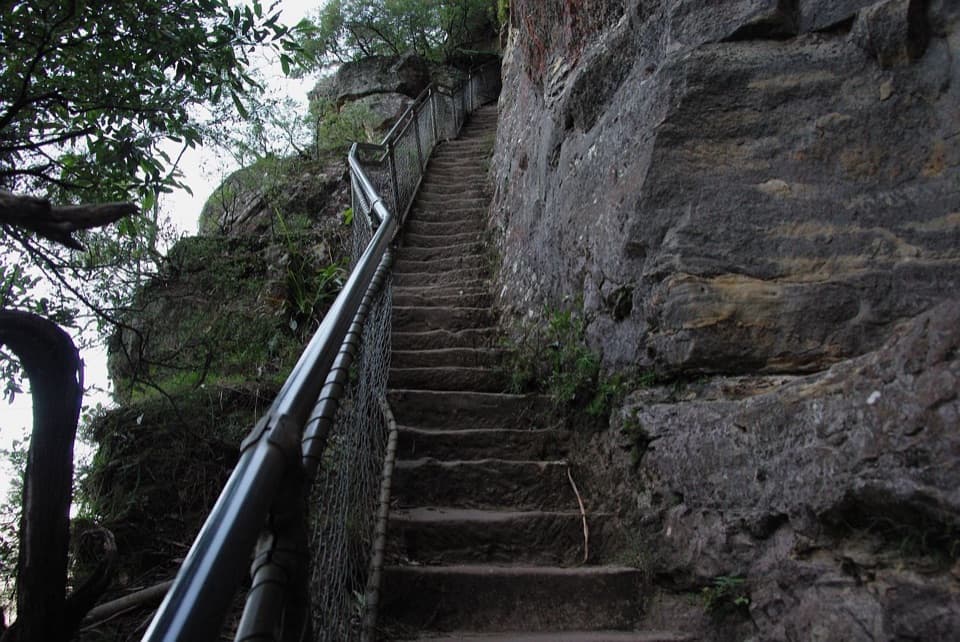 ModerateFurber Steps walk2.2 km · 1.5 hr · 0.3 km awayA stairway drops through rainforest to the base of Katoomba Falls.
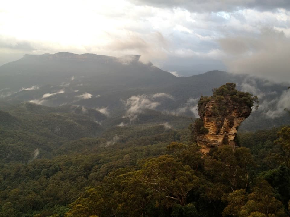 ModerateRound walking track1.2 km · 1 hr · 0.6 km awayA compact loop pairs waterfall lookouts with a shady ferny gorge.
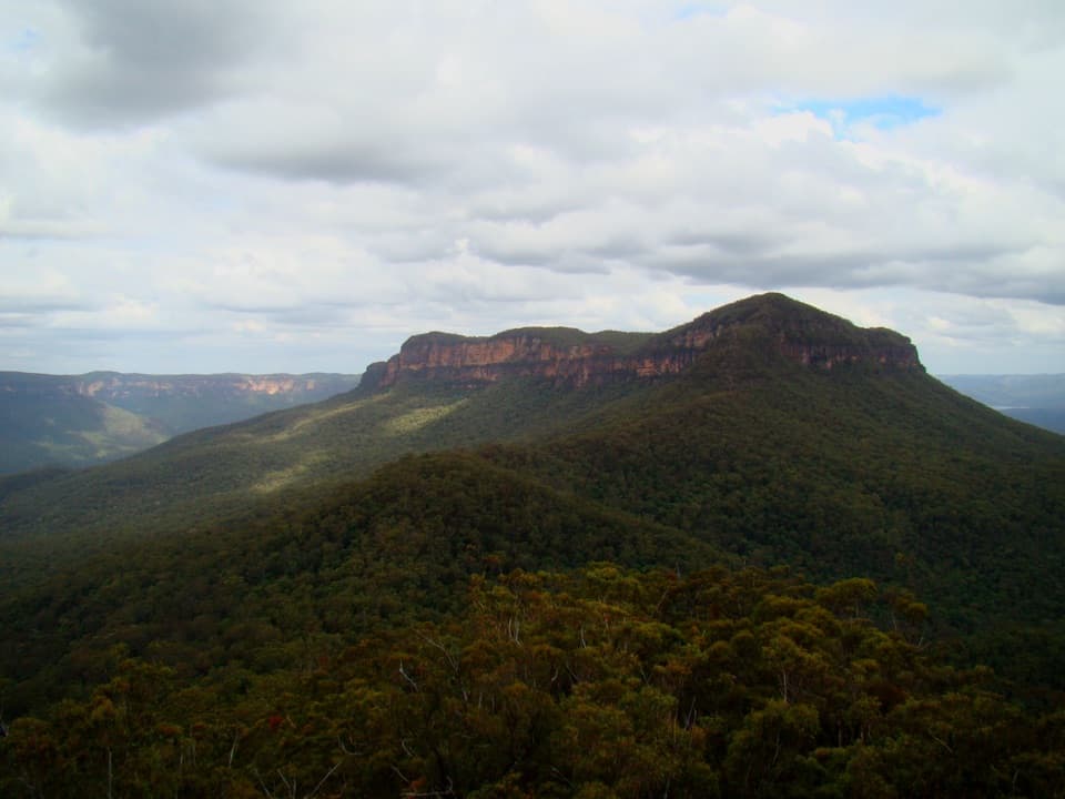 ChallengingMount Solitary walking track34 km · 22 hr · 0.6 km awayRainforest, tramway history, and a rough ridge in a three-day loop.
 ModeratePrince Henry Cliff walk7 km · 3.5 hr · 0.7 km awayA cliff-top walk with Three Sisters views and more than 20 lookouts.
 ChallengingDardanelles Pass loop walking track5.3 km · 3 hr · 1 km awayMore than 900 stairs descend into rainforest before the climb out.
 ChallengingGiant Stairway0.5 km · 36 min · 1 km away998 steps take you down to Honeymoon Bridge.
 EasyThree Sisters walk0.8 km · 35 min · 1.1 km awayA short paved walk to three sandstone spires above a vast valley.
 ChallengingEcho Point to Scenic World via Giant Stairway4.7 km · 2.5 hr · 1.1 km awayDescend the Giant Stairway, cross the valley, climb to Scenic World.
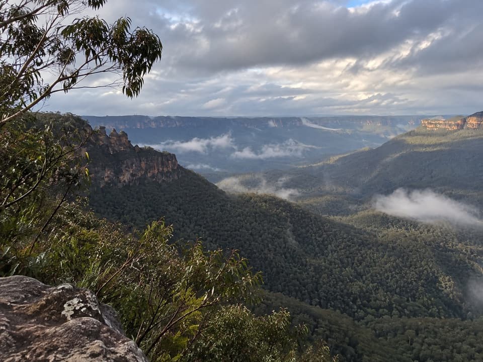 Sight · 0.1 km awayEagle Hawk LookoutA quieter Jamison Valley view toward the Three Sisters.
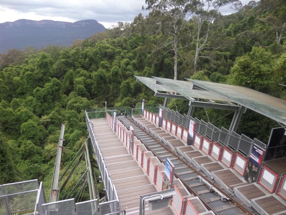 Sight · 0.3 km awayScenic WorldThree rides, rainforest boardwalks, and close views into Jamison Valley
 Sight · 0.5 km awayCliff View LookoutQuick walk for broad Kedumba Valley views beneath the Skyway
 Sight · 0.5 km awayKatoomba FallsA stepped gorge loop pairs a waterfall with a Three Sisters view.
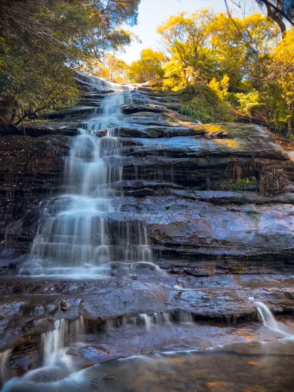 Sight · 0.7 km awayKatoomba CascadesA quick stairway detour to the Kedumba River's ferny cascades.
 Sight · 0.9 km awayNarrow Neck LookoutA quick stop for the Jamison and Megalong valleys.
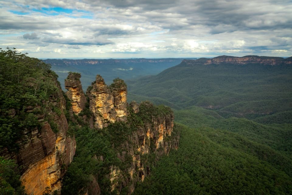 Sight · 1 km awayEcho Point Lookout (Three Sisters)A wide panorama to the Three Sisters, Mount Solitary and Ruined Castle.
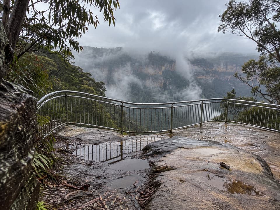 Sight · 1.4 km awayTallawalla lookoutA shaded pause on the walk for Leura and Sublime Point cliffs.
Parkwolf’s Blue Mountains ranking

The audio tour guide for the drive, plus offline maps, trails, and wildlife heatmaps for when the signal drops.



