
Place
Challenging
This is a compact but committing adventure: a steep, scrambly drop from Pisgah Rock down to the junction of Erskine and Lincoln Creeks, then back the same way. The total distance is about 2.8 km (1.7 miles) return, but don’t let the number fool you—what it lacks in length it makes up for in exposure, route-finding, and effort. It’s best for experienced bushwalkers who want a rugged hit of Blue Mountains wilderness without a full-day epic.
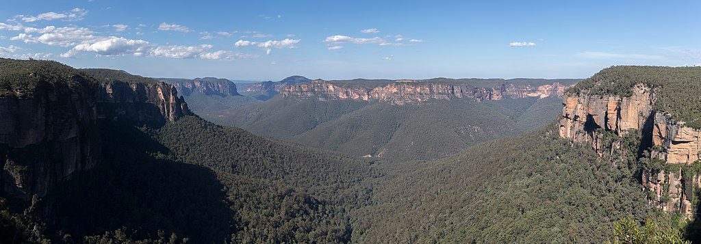
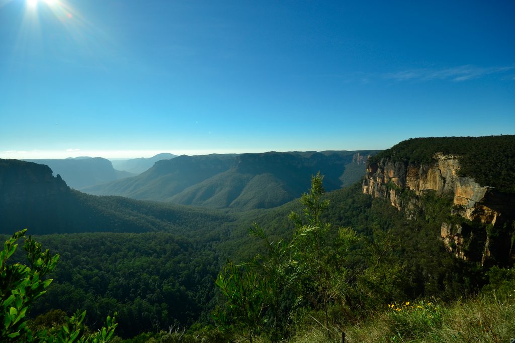
From the car park near Glenbrook, a well-formed track leads roughly 700 m to Pisgah Rock lookout, where unfenced, panoramic views spill over sandstone cliffs into the Erskine Creek gorge. From here the tone changes: the descent is steep, intermittently faint, and unmarked, with several short rock scrambles and a few airy moves. Expect slippery leaf litter on rock, occasional scratched arrows on stone, and very little in the way of official signage.
At the bottom, the creek junction is a tranquil jumble of pools, boulders, and clear water—perfect for a rest or a dip in warm weather. If you’ve still got gas in the tank, you can wander a bit along the creek to explore big overhangs like Attic Cave and Dadder Cave, or continue about 300 m to Blands Pool, the largest swimming hole in the area. Remember you must re-climb what you descended.
This is a very difficult walk (Grade 6/6) with multiple scrambles, exposure, and non-trivial navigation. It’s not suitable for kids or anyone uncomfortable with heights or off-track travel. Plan on about 3 hours return for the standard out-and-back, longer if you tack on creek explorations.
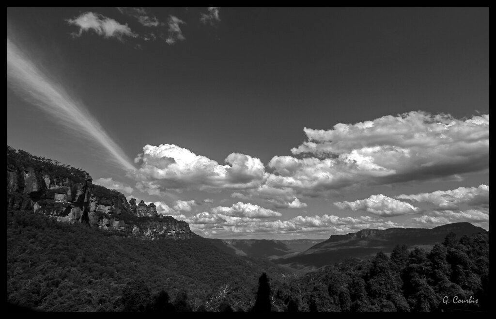
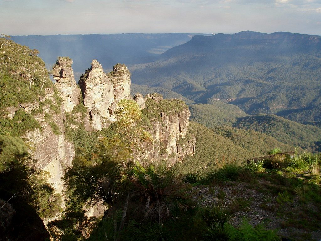
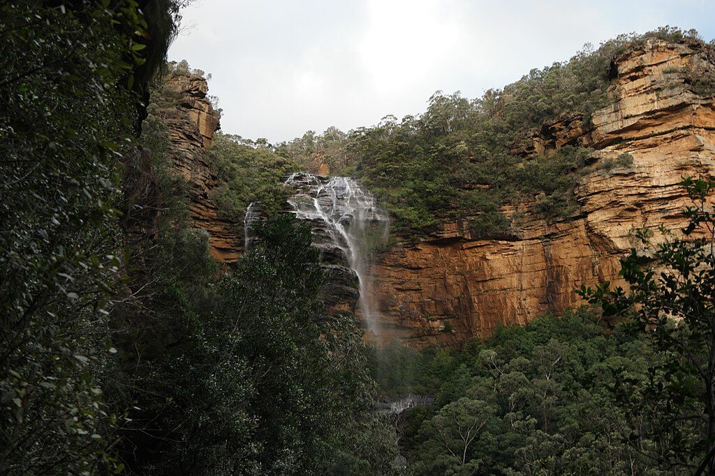
Classic Blue Mountains sandstone rules the day—weathered rock platforms, cliff lines, and big shady overhangs. The contrast between the airy lookout and the cool creek line below keeps things interesting, with rugged gorge views up high and intimate water-and-rock scenes down low.
Year-round is possible, but spring and autumn bring friendlier temperatures. Warm days make the creek and pools more tempting, but avoid or be extremely cautious after rain—rocks get slick, and creeks can rise quickly. Start early for cooler temps and gentler light across the gorge; late-day light is gorgeous from the lookout but give yourself enough time for a careful ascent.
Small car park near Glenbrook for Pisgah Rock; no facilities.
Very difficult Grade 6 descent with multiple scrambles, exposure, faint/unmarked track, and slippery leaf-covered rock; avoid after rain due to slick slabs and potential creek surges.
Place
Place
Place
Place
Challenging
Moderate
Challenging

Challenging

Parkwolf Tour Guide
