Lickstone Ridge Overlook in Blue Ridge Parkway

Scenic pullout · Blue Ridge Parkway

Lickstone Ridge Overlook

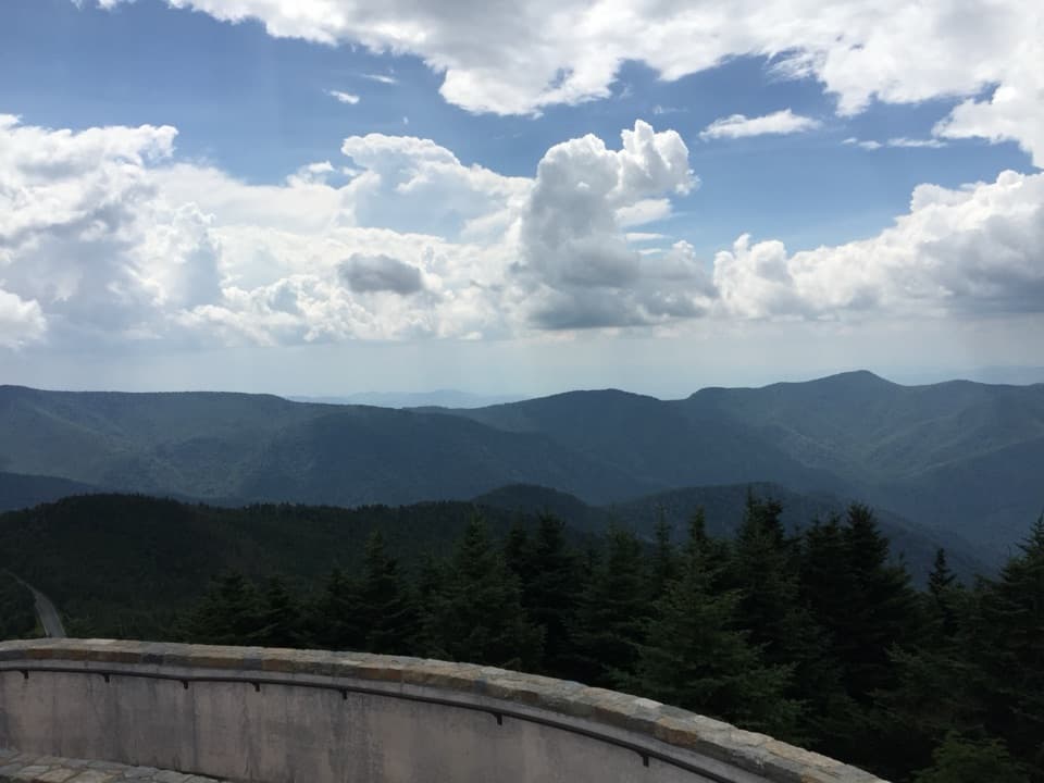
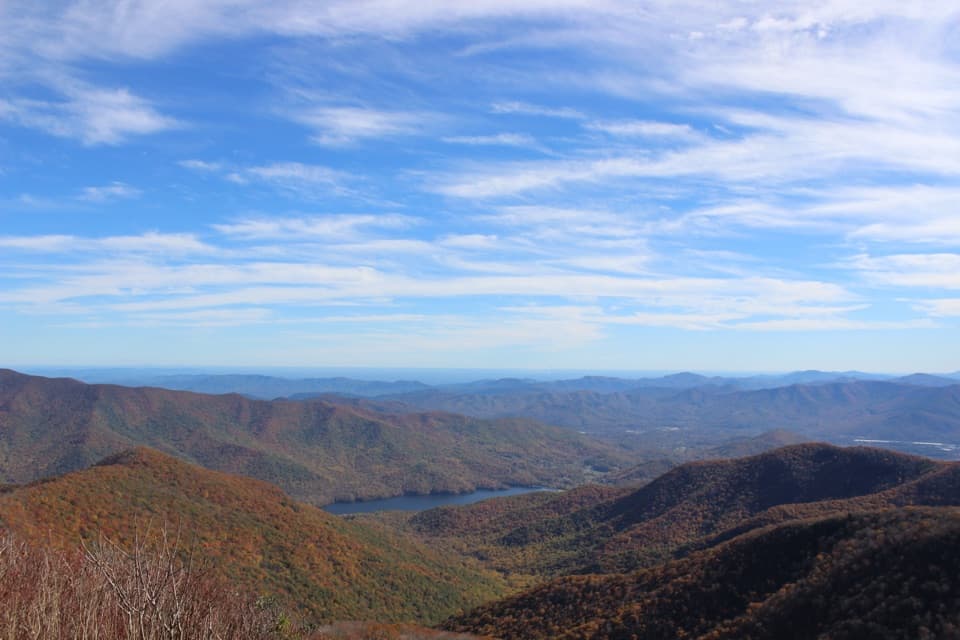
A west-facing Smokies panorama, best when the sky is clear.

Photo: jared422_80, CC BY 2.0

Type
Scenic pullout
Nearest trail
4.4 mi
Audio stories
4 nearby
  • Pullout
  • Scenic viewpoint

Hear the audio tour

When the Valley Is Colder
Download Parkwolf on the App StoreGet Parkwolf on Google Play

4.7 from 8,600+ ratings

Overview

About Lickstone Ridge Overlook

Why stop

  • A long, west-facing Smokies panorama

Heads up

  • Cloud or fog can hide the distant ridges

Map

Where it is

Loading the Blue Ridge Parkway map
Full map
Scenic pulloutLickstone Ridge Overlook35.50961, -83.18877
Keep this map with you offline in the Parkwolf app

Plan your stop

Before you go

7 active Blue Ridge Parkway alerts

  • ClosureWeather closures near Craggy Gardens and southern ParkwayWeather closures block Parkway sections near Craggy Gardens and south of Beech Gap, as well as Mount Mitchell State Park and Heintooga Spur Road; do not enter closed roads. - MP 355.3–375.Official details
  • ClosureHurricane Helene closures and hazards in North CarolinaDo not enter closed Parkway sections, trails, facilities, or adjacent NPS lands in North Carolina; recreation is prohibited in the closed NC Highway 80–Mount Mitchell section. - The MP 344.2–355.Official details

See all 7 alerts
A park ranger sits on a dash-mounted phone, talking, as Parkwolf’s Tour Guide plays “Army Cutworm Moths: A Grizzly Bear Buffet” on Grand Loop Road below Dunraven Pass in Yellowstone
Parkwolf Tour GuideThe highest, rockiest slopes around here are a summer buffet for grizzly bears.

Blue Ridge Parkway Tour Guide

Your drive to Lickstone Ridge Overlook, narrated.

Parkwolf is a GPS audio tour guide for Blue Ridge Parkway. As you drive, it chimes in with what’s ahead: hidden gems, upcoming stops, history, geology, and wildlife, right through your car’s speakers.

See the Blue Ridge Parkway audio tour

Recorded for this area

When the Valley Is Colder
0:00 / 0:30
“On a clear, calm night, a mountain valley can become colder than the slopes above it. The ground loses heat after sunset, cooling the air close to its surface.”

Plays on the road 0.4 mi from Lickstone Ridge Overlook in the Parkwolf Blue Ridge Parkway Tour Guide.

More stories near here in the app

  • Plott Balsam: The Hound Behind the Name
  • Jenkins Ridge: A Brief Autumn Stop
  • Sequoyah Put Syllables on Paper
  • Big Witch Overlook: Ridges and a Cherokee Name
  • 298 audio storiesacross Blue Ridge Parkway’s roads, triggered by GPS as you drive
  • Wildlife heatmapsfor Black Bear, Elk, White-tailed Deer, and 13 more
  • Works offlinemaps, 145 trails, 251 places, and audio download before you lose signal
  • CarPlay readysimple controls built for the drive
★★★★★
“…We knew we wanted to drive the Blue Ridge Parkway. The narration was impeccably timed. The facts and info provided were meaningful. Without it, the trip would not have been near as awesome.”
Ashl GApp Store review
Download Parkwolf on the App StoreGet Parkwolf on Google Play

4.7 from 8,600+ ratings

Guide

More about Lickstone Ridge Overlook

Stop when the view is clearLickstone Ridge Overlook is a roadside pullout on the Blue Ridge Parkway at milepost 458.

Lickstone Ridge Overlook is a roadside pullout on the Blue Ridge Parkway at milepost 458.9, near Maggie Valley. It faces west over a long sweep of forested Smokies ridges. Make it a short stop on a clear day, when the panorama is the reason to pull off.

Watch the western horizonThe broad mountain view is the whole draw, and sunset is a popular time here.

The broad mountain view is the whole draw, and sunset is a popular time here. Cloud and fog can hide the far ridges, so visibility makes a big difference. For a photo, keep the wooden Lickstone Ridge sign in the foreground with the ridge line beyond it; the sign gives the wide view a clear sense of place.

Right beside the routeThe wooden sign marks the overlook at 5,150 feet.

The wooden sign marks the overlook at 5,150 feet. It sits directly on the Parkway, so you can get the view without setting out on a hike; give it a few minutes when the sky is clear.

Wildlife

Wildlife in Blue Ridge Parkway

All Blue Ridge Parkway wildlife maps

Sighting maps show where each species has been reported across Blue Ridge Parkway. Wildlife moves, so no sighting is guaranteed.

Parkwolf’s Blue Ridge Parkway ranking

Top sights in Blue Ridge Parkway

All 251 places
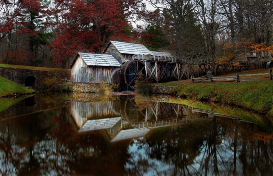
  1. 1Mabry MillSight
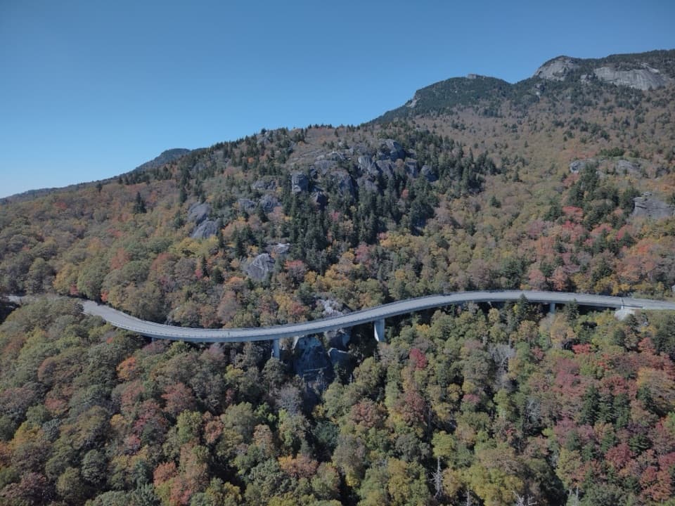
  2. 2Linn Cove ViaductSight
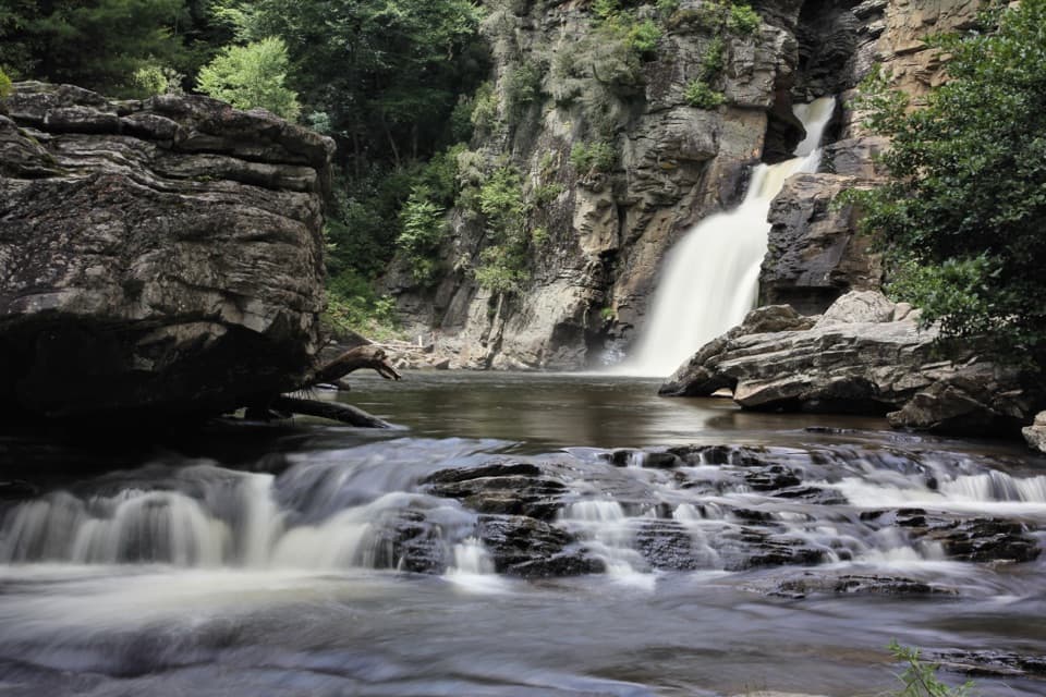
  3. 3Linville FallsSight
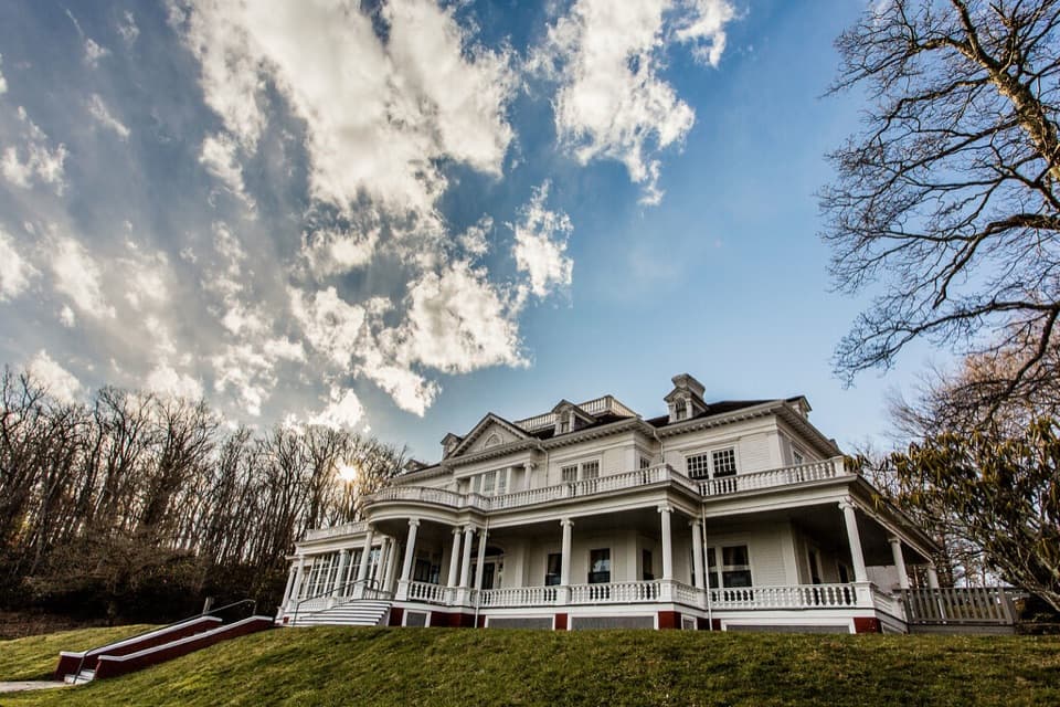
  4. 4Moses H. Cone Memorial Park and Flat Top ManorSight
  5. 5Mount Mitchell SummitSight
  6. 6Craggy PinnacleSight

Take Parkwolf to Blue Ridge Parkway.

The audio tour guide for the drive, plus offline maps, trails, and wildlife heatmaps for when the signal drops.

4.7 from 8,600+ ratings

Download Parkwolf on the App StoreGet Parkwolf on Google Play