Parking
Park at the Waterrock Knob overlook/visitor center on the Blue Ridge Parkway at Milepost 451.2; follow the paved access from the parking area to the trail start.

#8 of 112 trails in Blue Ridge Parkway
Blue Ridge Parkway, NC · VA
Short, steep climb to 6,273 ft with sweeping Southern Highlands views
Overview
This is the Parkway’s classic short summit hike: about 1.2 miles round trip (out-and-back) with roughly 460 feet of gain, delivering big payoffs. From the overlook area and the 6,273-foot summit, you can see layer upon layer of ranges—the Great Balsams, Smokies, Cowees, Nantahalas, and beyond—with long-range visibility on clear days. It’s a prime sunrise/sunset spot and a solid stargazing perch thanks to minimal light pollution.
 Parkwolf’s verdictWhy hike it
Map & elevation
Plan your hike

The highest, rockiest slopes around here are a summer buffet for grizzly bears.
Blue Ridge Parkway Tour Guide
Parkwolf is a GPS audio tour guide for Blue Ridge Parkway. As you drive, it chimes in with what’s ahead: hidden gems, upcoming stops, history, geology, and wildlife, right through your car’s speakers.
See the Blue Ridge Parkway audio tourRecorded for this trailhead
Waterrock Knob and the Plane Wreck Trail“You're coming up to the Waterrock Knob area, a major stop with some of the best high-elevation views on the Parkway.”
Plays as you drive up to this trailhead in the Parkwolf Blue Ridge Parkway Tour Guide.
More stories near here in the app
“…We knew we wanted to drive the Blue Ridge Parkway. The narration was impeccably timed. The facts and info provided were meaningful. Without it, the trip would not have been near as awesome.”


Trail guide
Start at the Waterrock Knob overlook and visitor-center parking area at Milepost 451.2. Follow the paved access from the parking area to the named trail, then continue on the rocky, natural-surface path and stone steps to the summit viewpoint. The route includes the complete mapped summit loop/turnaround and does not continue onto the separate Browning Knob Trail. Expect a short, sustained grade with several viewpoints along the climb.
It’s cooler and windier up here than in nearby towns, and conditions can change fast. Bring an extra layer even in summer, sturdy shoes for the rocky upper trail, and a headlamp if you’re timing it for sunrise or sunset. The footing can be slick after rain, and winter can bring ice or snow. There’s no reliable water—pack your own.
The visitor center offers exhibits, rangers, wheelchair-accessible restrooms when open, and picnic spots with excellent views. There’s no food service or lodging at the site. The summit trail is steep and not wheelchair accessible. Follow Leave No Trace and mind the overlook edges—exposure plus wind can be deceiving.
Wildlife
 1,208 sightingsBlack BearMost seen around 7 AMSighting map
 1,020 sightingsElkMost seen around 7 AMSighting map
 2,257 sightingsWhite-tailed DeerMost seen around 6 PMSighting map
 200 sightingsCoyoteMost seen around 6 PMSighting map
 1,126 sightingsWild TurkeyMost seen around 7 AMSighting map
 255 sightingsRed-tailed HawkMost seen around 11 AMSighting map
Sighting maps show where each species has been reported across Blue Ridge Parkway. Wildlife moves, so no sighting is guaranteed.
Keep exploring
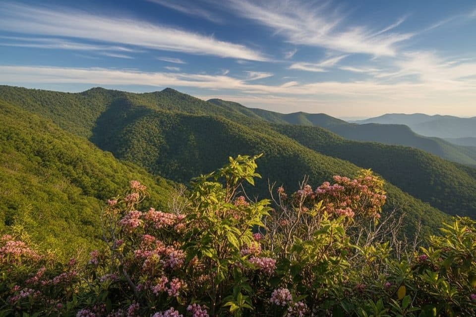 ModerateYellow Face Trail1.7 mi · 1.3 hr · 0.1 mi awayA rough, unofficial summit spur with a view before the top.
 ModerateHeintooga Flat Creek Trail5.2 mi · 3 hr · 6.7 mi awayA quiet creek walk through high-elevation Smokies forest
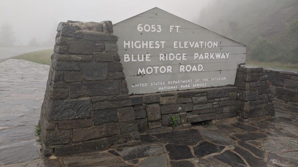 ModerateRichland Balsam Nature Trail1.5 mi · 1.2 hr · 11.1 mi awayShort spruce-fir lollipop loop to the Parkway’s highest summit
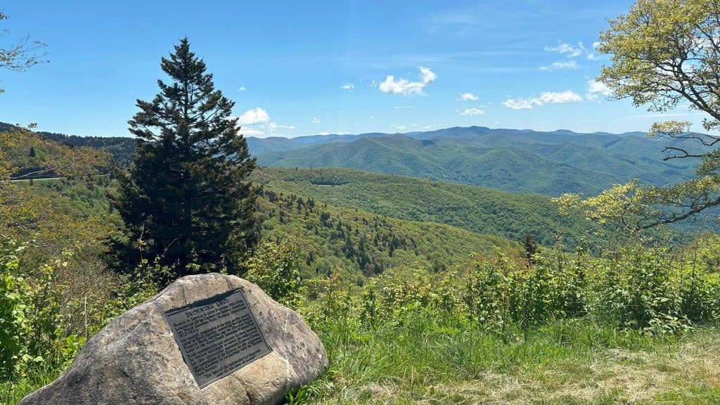 Scenic pullout · 0.1 mi awayBrowning Knob Overlook (MP 451.2)High-elevation overlook with views and a hike to a plane wreck
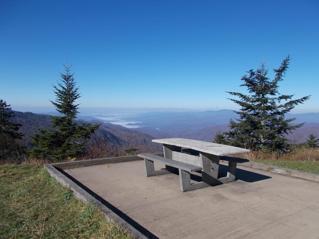 Picnic area · 0.1 mi awayWaterrock Knob Picnic AreaHigh-elevation picnic stop with sunrise-to-sunset mountain panoramas
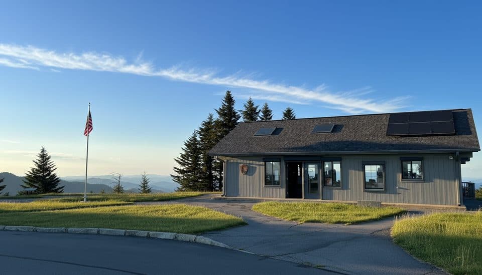 Visitor center · 0.1 mi awayWaterrock Knob Visitor CenterHigh-elevation views and a quick summit hike from the parking lot
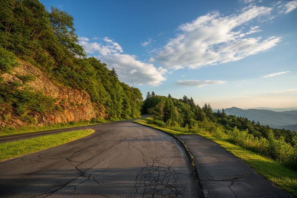 Scenic pullout · 0.6 mi awayYellow Face Overlook (MP 450.2)Quick pull-off with a wide Smokies panorama near Waterrock Knob
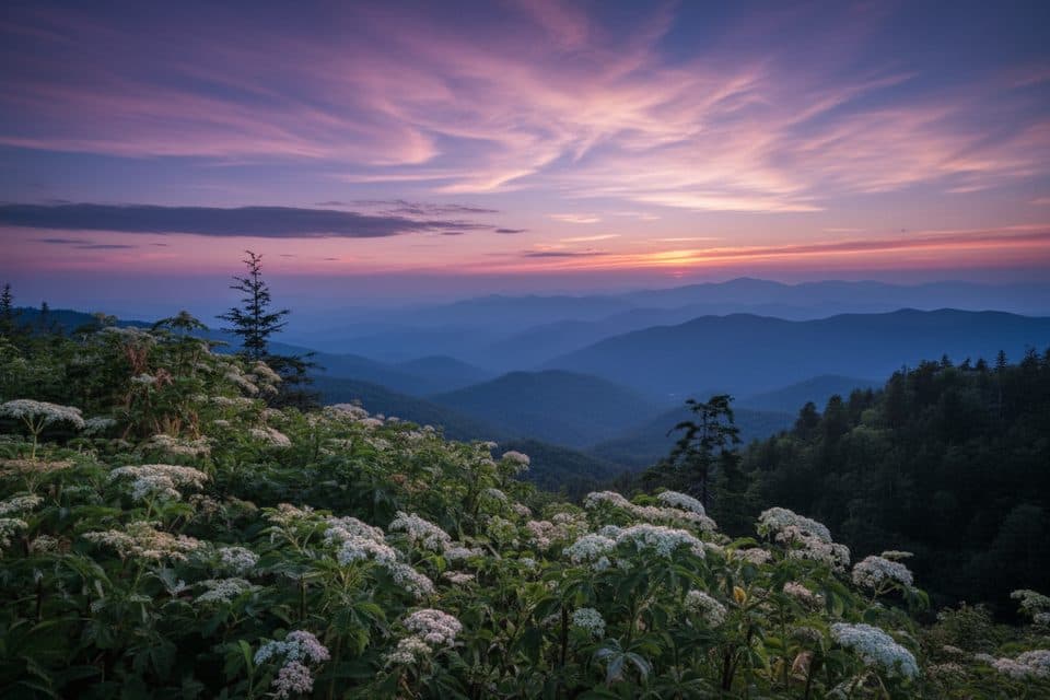 Scenic pullout · 0.6 mi awayWoolyback Overlook (MP 452.3)Layered valley panorama and a stellar sunset stop
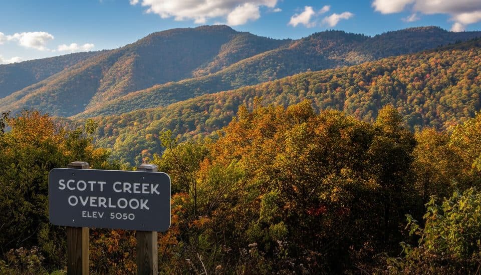 Scenic pullout · 1.5 mi awayScott Creek Overlook (MP 448.5)Quiet roadside pullout with big mountain layers and trail access
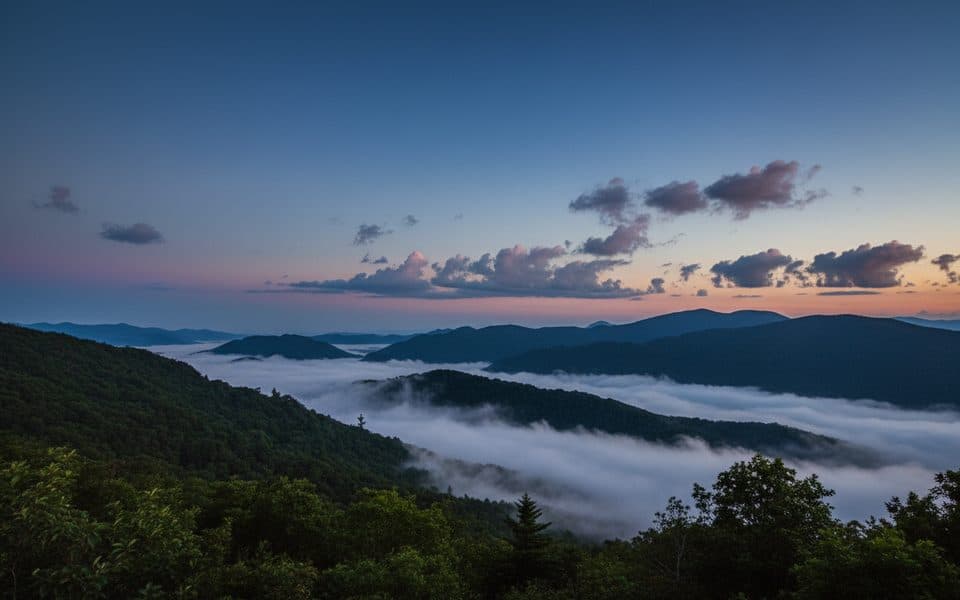 Scenic pullout · 1.7 mi awayWesner Bald Overlook (MP 448.1)Quiet pull-off with layered mountain views and sunrise potential
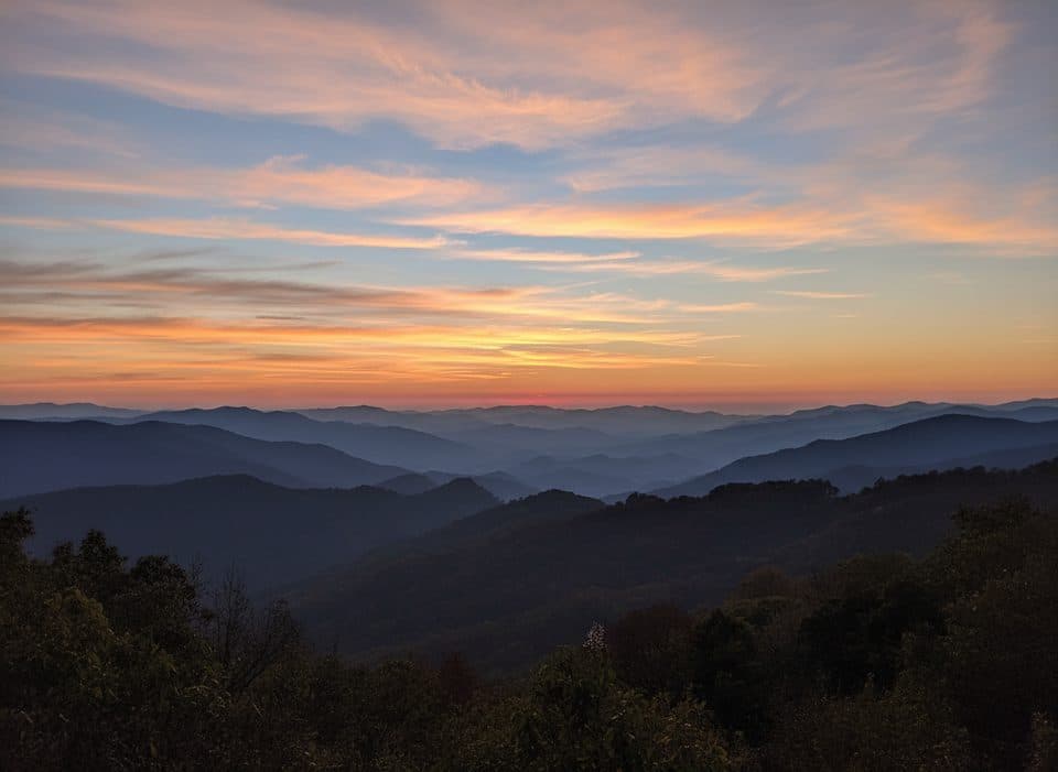 Scenic pullout · 1.9 mi awayThunderstruck Overlook (MP 454.4)Sweeping ridge-and-valley views from a quick, high-elevation pullout
Parkwolf’s Blue Ridge Parkway ranking
The audio tour guide for the drive, plus offline maps, trails, and wildlife heatmaps for when the signal drops.





