Pros & cons
PROS
- Photogenic S‑curve bridge with sweeping mountain views
- Tanawha Trail access for dramatic underside and vista angles
- Seasonal visitor center with exhibits
CONS
- Parking fills fast, especially during fall foliage
- No pedestrian walkway on the bridge itself
- Nearby trails can be steep, rocky, and eroded
Overview
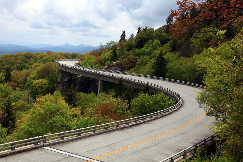
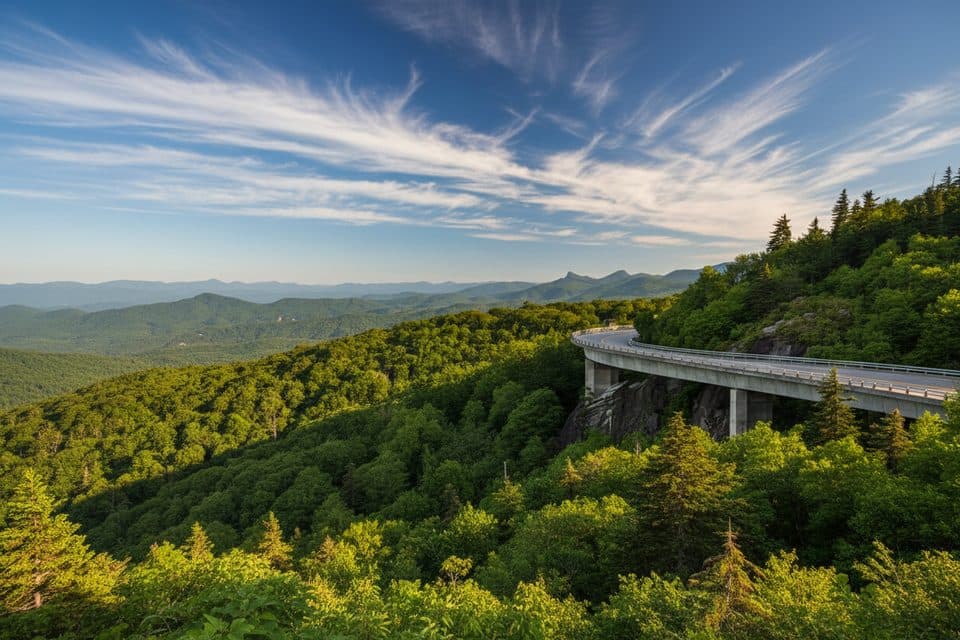
This is the Parkway’s star turn: a 1,243‑foot, S‑shaped viaduct that wraps around Grandfather Mountain as if it’s hovering above the forest. It was built to protect fragile, high‑elevation terrain, and the result is both elegant and wildly scenic.
Why it’s special
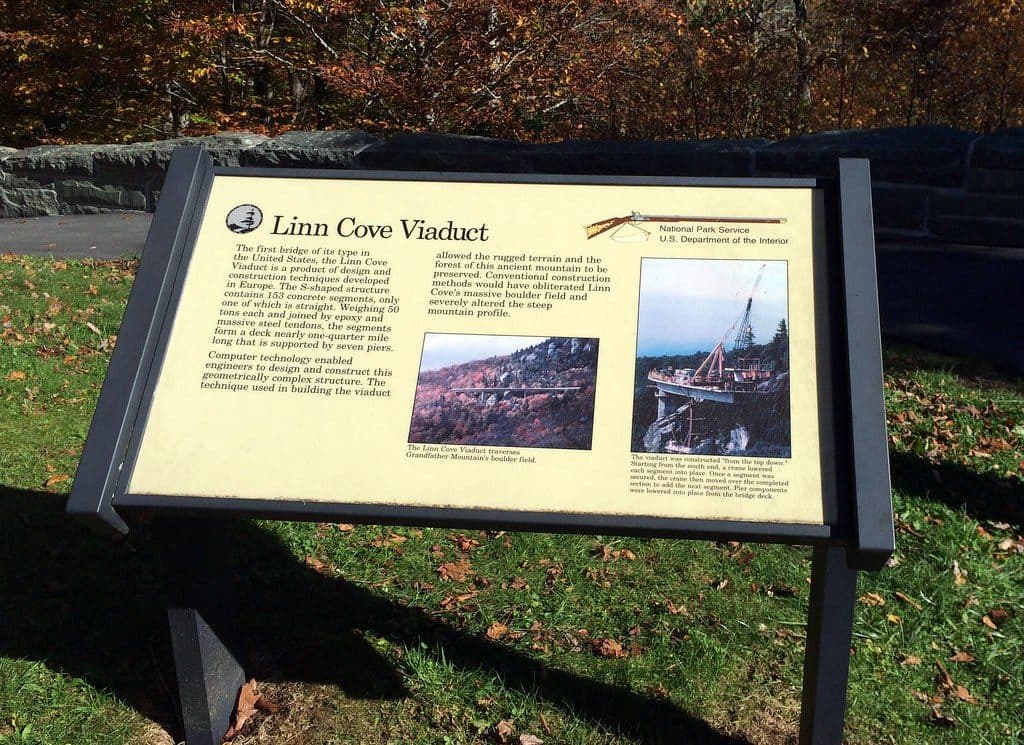
Engineered with only seven piers and built from the top down, the viaduct became the final link of the Blue Ridge Parkway in 1987. It’s as much a landmark of conservation‑minded design as it is a classic mountain view—and one of the most photographed spots on the drive.
How to see it
- Drive it for the sweeping curve and big‑sky vistas.
- Park at the pullout/visitor area near the south end to hop on the Tanawha Trail, which passes beneath the bridge for jaw‑dropping angles of the structure.
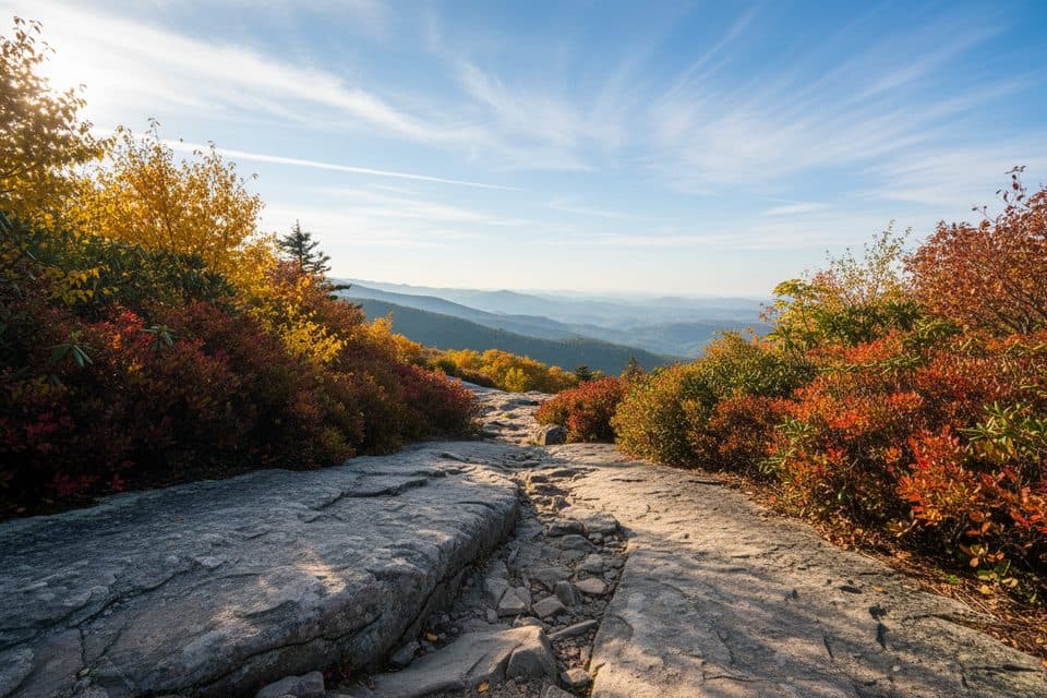
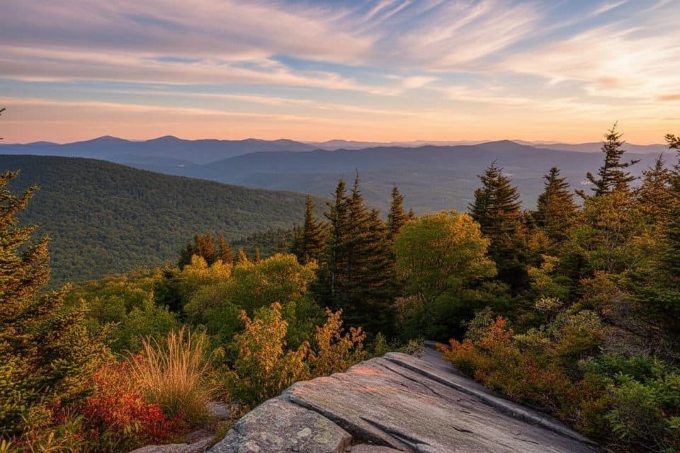
- For higher viewpoints and wide mountain panoramas, hike Tanawha segments toward Rough Ridge.
Trails and terrain
Expect rugged fun. The Tanawha Trail here includes boulder fields, steep pitches, and some deeply eroded stretches. It’s gorgeous but uneven—bring sturdy footwear and stay on the trail to protect the sensitive ecosystem.
History in a nutshell
This was the Parkway’s last missing piece, finished in 1987 after decades of planning. The segmental, precast design let crews span Grandfather Mountain’s slopes without tearing up the mountainside—why the bridge seems to float.
Wildlife
You’re driving through classic Blue Ridge habitat. Around the trail corridor you might encounter songbirds and, with luck, deer or turkey. Black bears live in the region, though sightings right at the bridge are uncommon.
Practical notes
- There’s a small, seasonal visitor center at the south end with exhibits, parking, trail access, and restrooms when open. Plan bathroom breaks elsewhere if it’s closed.
- The bridge has no sidewalk—use the Tanawha Trail for walking and photos rather than the roadway.
- Mountain weather shifts fast; fog and wet pavement are common. Drive conservatively.
Best time to visit
- Fall color (mid–late October) is peak beauty and peak crowds; arrive early to snag parking.
- Weekdays and mornings offer the calmest experience and softer light on the curve; late afternoon light can be lovely too but busier on weekends.
- Any clear day rewards photographers—the changing light dramatically reshapes the scene throughout the day.

Where it is
36.0950, -81.8125Tips for Linn Cove Viaduct
- 01Arrive early in fall—parking is limited and fills quickly.
- 02Don’t walk on the bridge; use the Tanawha Trail for safe viewpoints.
- 03Wear grippy footwear—the nearby trail has steep, rocky, and eroded sections.
- 04Combine the drive with a short hike under the bridge for the best photos.
- 05Weather turns fast here; fog and slick pavement are common—drive slowly.
Amenities
Near Linn Cove Viaduct
All places →All trails →
0 mi awayLinn Cove Viaduct OverlookUp-close, under-bridge view of the Parkway's iconic curving viaductTrailhead · Pullout
0.2 mi awayYonahlossee OverlookQuick pullout for the classic Linn Cove Viaduct viewpointPullout · Parking
0.4 mi awayLinn Cove Viaduct Visitor CenterTrailhead for up-close views of the iconic Linn Cove ViaductTrailhead · Parking
0.4 mi awayLinn Cove Viaduct Access TrailQuick stroll to stand beneath and photograph the iconic viaduct.Easy · 0.4 mi · 30 min
0.4 mi awayWilson Creek OverlookQuiet overlook with sunrise views and a shortcut to the Tanawha TrailTrailhead · Pullout
0.7 mi awayStack Rock TrailTiny detour to a quirky rock tower in a rhodo-laced forestEasy · 0.4 mi · 30 min
0.7 mi awayRough Ridge TrailBig views fast on a rocky climb to boardwalks and boulder perchesModerate · 1.6 mi · 1 hr
1.2 mi awayTanawha TrailGrandfather’s marquee traverse of views, boardwalks, and the ViaductChallenging · 13.5 mi · 5.7 hr