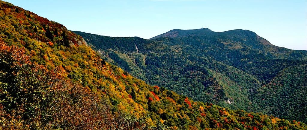
Linville Falls in Blue Ridge Parkway

#5 of 188 sights in Blue Ridge Parkway

Sight · Blue Ridge Parkway

Linville Falls

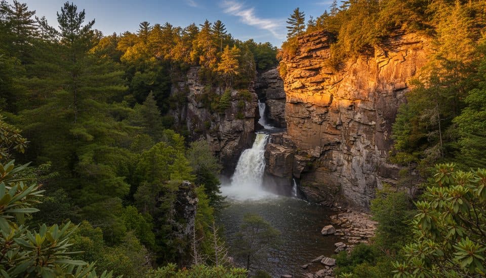
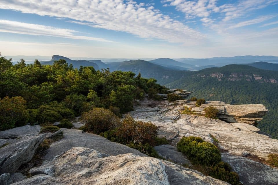
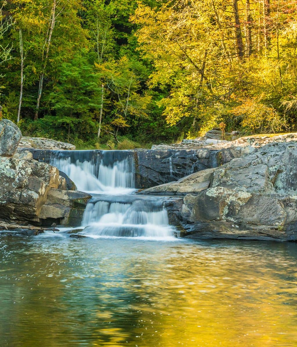
Classic three-tier waterfall with big views into rugged Linville Gorge

Photo: Flickr
Type
Sight
Nearest trail
0.3 mi
Audio stories
2 nearby
  • Trailhead
  • Restrooms
  • Parking
  • Scenic viewpoint

Hear the audio tour

North Toe River Valley's Mountain Panorama

Overview

About Linville Falls

Why stop

  • Multiple overlooks with very different views
  • Short, well-signed trail network from the visitor center
  • Campground and picnic area right next door

Heads up

  • Crowded and parking fills fast on weekends and in fall
  • No swimming or rock scrambling allowed
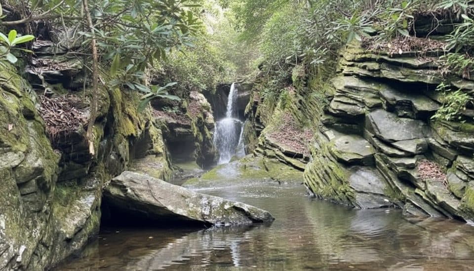
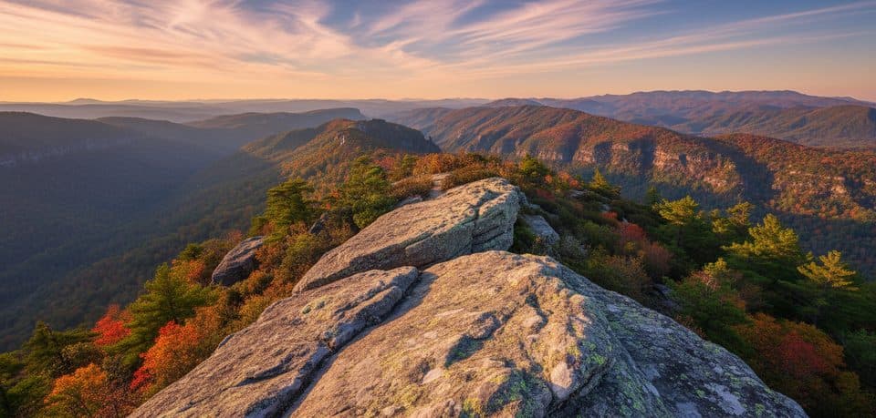
Linville Falls is the Parkway’s showstopper waterfall: a powerful, multi-tier drop pouring into the rugged Linville Gorge—often nicknamed the Grand Canyon of the Southern Appalachians. It’s photogenic from every angle and dead simple to visit: park at the visitor center and choose from several short trails to overlooks.
Parkwolf’s verdictWhy go

Map

Where it is

Loading the Blue Ridge Parkway map
Full map
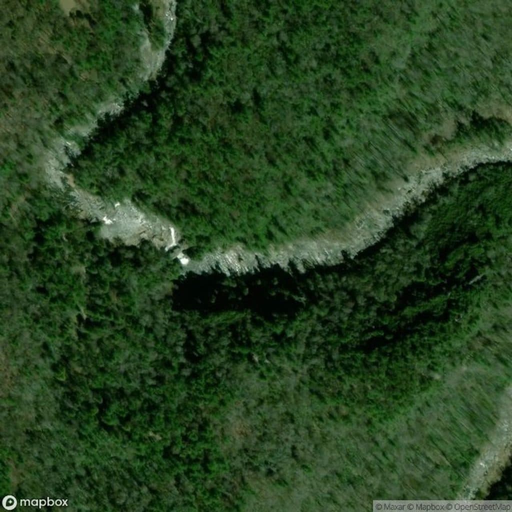
SightLinville Falls35.94972, -81.92691
Keep this map with you offline in the Parkwolf app

Local know-how

Tips for visiting Linville Falls

  1. Arrive before 9am or late afternoon to beat the parking crunch.

  2. Do the Erwin’s View combo to sample multiple overlooks in one go.

  3. Download offline maps—cell service drops near the gorge.

  4. Wear grippy shoes; Plunge Basin has steeper, rockier footing.

  5. No swimming or scrambling—stay behind rails and on signed trails.

Plan your stop

Before you go

Best time to visit

  • Arrive early or late on weekends; mid-morning to mid-afternoon can be packed, especially during fall colors.
  • For softer light and better photos, shoot early morning or late afternoon; midday sun can flatten the falls.
  • Weekdays outside peak foliage season are the mellowest. Winter visits can be serene, but road closures on the Parkway are common.

2 active Blue Ridge Parkway alerts

  • ClosureNorth Carolina Helene-related closuresMentions this placeAvoid the closed Parkway section from MP 344.2–355.3; recreation of any kind is prohibited there.Official details
  • ClosureVirginia Parkway closures and detourFollow the signed detour around the closed James River Bridge and avoid the closed Roanoke Mountain Loop. - James River Bridge (MP 63.5–63.Official details
Blue Ridge Parkway alerts
A park ranger sits on a dash-mounted phone, talking, as Parkwolf’s Tour Guide plays “Army Cutworm Moths: A Grizzly Bear Buffet” on Grand Loop Road below Dunraven Pass in Yellowstone
Parkwolf Tour GuideThe highest, rockiest slopes around here are a summer buffet for grizzly bears.

Blue Ridge Parkway Tour Guide

Your drive to Linville Falls, narrated.

Parkwolf is a GPS audio tour guide for Blue Ridge Parkway. As you drive, it chimes in with what’s ahead: hidden gems, upcoming stops, history, geology, and wildlife, right through your car’s speakers.

See the Blue Ridge Parkway audio tour

Recorded for this area

North Toe River Valley's Mountain Panorama
Listen
“You're coming up to the North Toe River Valley Overlook. Here’s a helpful heads-up: despite the name, the river itself is hidden from view by the terrain.”

Plays on the road 1.9 mi from Linville Falls in the Parkwolf Blue Ridge Parkway Tour Guide.

More stories near here in the app

  • Linville Falls Picnic Area and Trail Hub
  • Hellbenders of the Linville: Giants Hiding Under Rocks
  • Linville Gorge: Wilderness Carved by Fire and Stone
  • Camp Creek Overlook: A Quiet Stream Stop
  • 277 audio storiesacross Blue Ridge Parkway’s roads, triggered by GPS as you drive
  • Wildlife heatmapsfor Black Bear, Elk, White-tailed Deer, and 13 more
  • Works offlinemaps, 112 trails, 232 places, and audio download before you lose signal
  • CarPlay readysimple controls built for the drive
★★★★★
“…We knew we wanted to drive the Blue Ridge Parkway. The narration was impeccably timed. The facts and info provided were meaningful. Without it, the trip would not have been near as awesome.”
Ashl GApp Store review
Download Parkwolf on the App StoreGet Parkwolf on Google Play

4.7 from 8,600+ ratings

Guide

More about Linville Falls

What you’ll seeA three-part waterfall: the 15-foot Upper Falls, the main plunge, and the lower falls, all…
  • A three-part waterfall: the 15-foot Upper Falls, the main plunge, and the lower falls, all framed by cliffs and rhododendron.
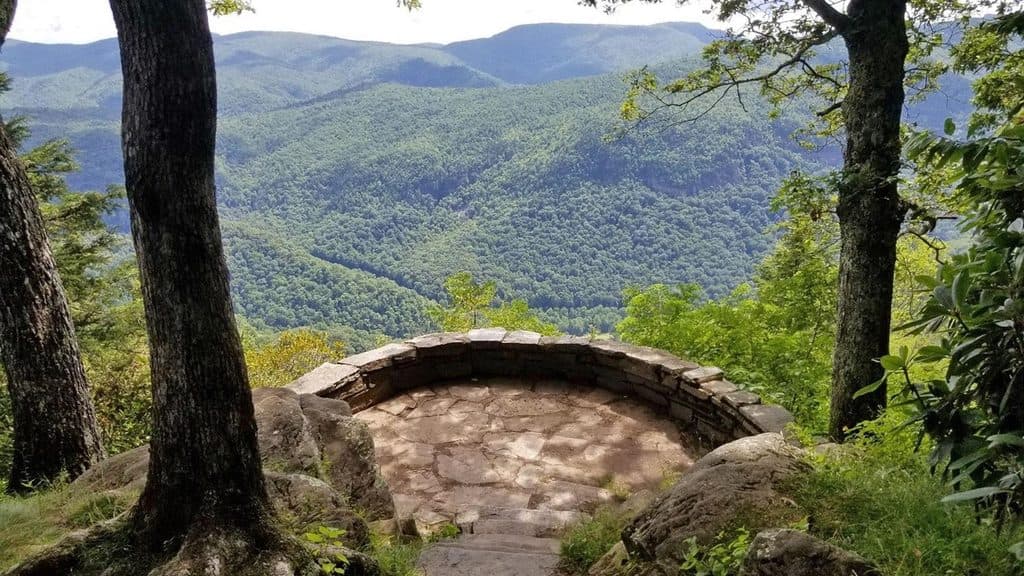
  • Four primary overlooks with distinct angles into the gorge, from close-up drama to big, sweeping panoramas.
  • Seasonal color: wildflowers in spring, peak foliage in autumn lighting up the hardwoods.
Trails, quick and clearTypical round trips range roughly 0.5–1.4 miles depending on how many viewpoints you add.

Typical round trips range roughly 0.5–1.4 miles depending on how many viewpoints you add.

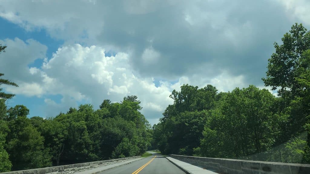
  • Start at the Linville Falls Visitor Center, cross the bridge, and follow signed junctions.
  • Erwin’s View Trail strings together multiple overlooks on mostly easy-to-moderate grades—perfect for a “greatest hits” loop.
  • Plunge Basin Trail is steeper and rougher, leading to views into the plunge pool and the base of the gorge.
WildlifeKeep an ear out for songbirds in the thickets and watch the cliffs for raptors—hawks and even…

Keep an ear out for songbirds in the thickets and watch the cliffs for raptors—hawks and even peregrine falcons are possible. Deer and small mammals commonly appear along the forested paths. Trout inhabit the Linville River near the campground.

PracticalitiesThe visitor center anchors the area with restrooms, parking, interpretive displays, and…
  • The visitor center anchors the area with restrooms, parking, interpretive displays, and trailheads. Picnic tables are nearby. There are no food concessions on-site.
  • Linville Falls Campground (seasonal) sits across the Parkway, with tent and RV sites and group camping.
  • Swimming and climbing on rocks are prohibited—currents are strong and the rock is slick.
Bottom lineIf you’re picking one waterfall stop on the Parkway, make it this one.

If you’re picking one waterfall stop on the Parkway, make it this one. Short walks, big payoffs, and classic Southern Appalachian scenery—just plan around the crowds.

Wildlife

Wildlife in Blue Ridge Parkway

All Blue Ridge Parkway wildlife maps

Sighting maps show where each species has been reported across Blue Ridge Parkway. Wildlife moves, so no sighting is guaranteed.

Keep exploring

Near Linville Falls

See it all on the map

Trails nearby

More stops nearby

Parkwolf’s Blue Ridge Parkway ranking

Top sights in Blue Ridge Parkway

All 232 places
  1. 1Linn Cove ViaductSight
  2. 2Mount MitchellSight
  3. 3Mount Mitchell State ParkSight
  4. 4Craggy Pinnacle OverlookSight
  5. 6Peaks of OtterSight
  6. 7Devil's CourthouseSight

Take Parkwolf to Blue Ridge Parkway.

The audio tour guide for the drive, plus offline maps, trails, and wildlife heatmaps for when the signal drops.

4.7 from 8,600+ ratings

Download Parkwolf on the App StoreGet Parkwolf on Google Play