Parking
Use the large Waterrock Knob parking area at Blue Ridge Parkway milepost 451.2. Walk to the lower end of the lot, cross the Parkway carefully, and look to the right of the wooden guardrail for the faint trailhead.
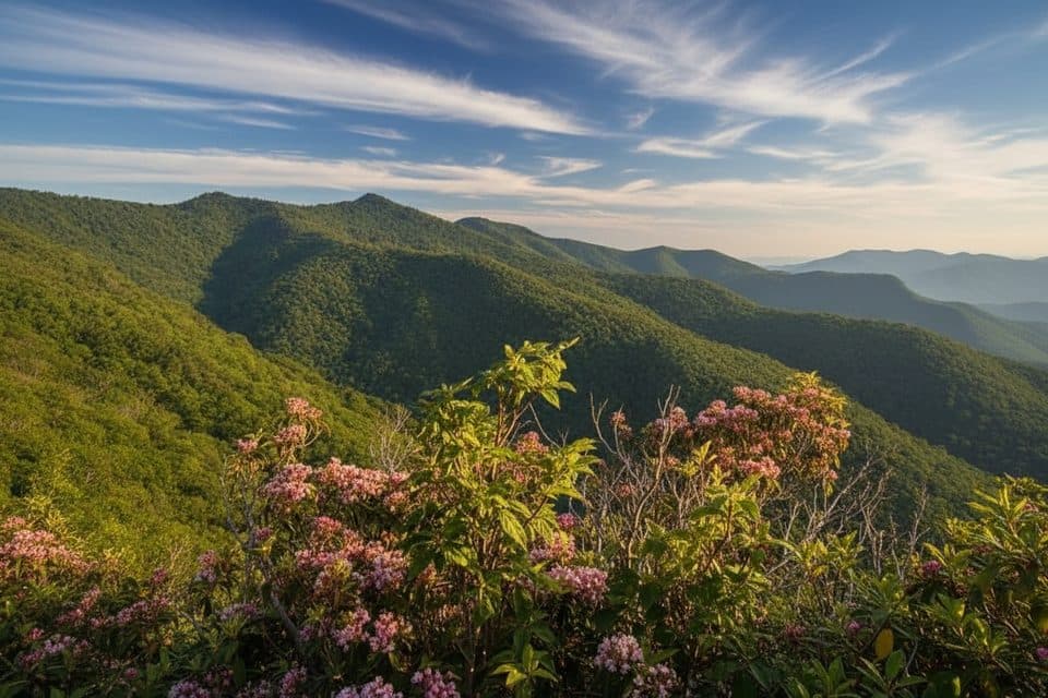
Blue Ridge Parkway, NC · VA
A rough, unofficial summit spur with a view before the top.
Overview
Yellow Face is a 1.7-mile out-and-back from the Waterrock Knob parking area. The route crosses the Blue Ridge Parkway, then follows a faint, unofficial path through high-elevation balsam forest to the 6,034-foot Yellow Face summit. Allow 1 to 1.5 hours. It is short but steep, rocky, rooty, and occasionally overgrown, so it suits hikers who are comfortable with rough navigation.
 Parkwolf’s verdictIs this hike for you?
Map & elevation
Plan your hike

The highest, rockiest slopes around here are a summer buffet for grizzly bears.
Blue Ridge Parkway Tour Guide
Parkwolf is a GPS audio tour guide for Blue Ridge Parkway. As you drive, it chimes in with what’s ahead: hidden gems, upcoming stops, history, geology, and wildlife, right through your car’s speakers.
See the Blue Ridge Parkway audio tourRecorded for this trailhead
Waterrock Knob and the Plane Wreck Trail“You're coming up to the Waterrock Knob area, a major stop with some of the best high-elevation views on the Parkway.”
Plays as you drive up to this trailhead in the Parkwolf Blue Ridge Parkway Tour Guide.
More stories near here in the app
“…We knew we wanted to drive the Blue Ridge Parkway. The narration was impeccably timed. The facts and info provided were meaningful. Without it, the trip would not have been near as awesome.”


Trail guide
Walk to the lower end of the parking area, cross the Parkway carefully, and look to the right of the wooden guardrail for the trail. Stay on the main tread over a low false summit, ignoring side paths, until you reach Yellow Face. The best view is about three-quarters of a mile in; the summit itself may not have much of a view. This is an out-and-back, so return the same way.
The route gains roughly 480 feet and runs across exposed roots, rocks, and brush. The high country around Waterrock Knob feels cooler than the valleys, and weather can change quickly. The parking area and overlook offer broad mountain views before or after the hike. For a photo, include the winding ridge and a little of the rough trail from the open viewpoint rather than framing only the brush at the summit.
Park at the large Waterrock Knob lot at Blue Ridge Parkway milepost 451.2. The visitor center is seasonal, with restrooms and picnic facilities at the site, so do not assume services are open when you arrive. Use extra care at the Parkway crossing, and carry a map or GPS. The trail is unofficial and unmaintained.
Wildlife
 1,208 sightingsBlack BearMost seen around 7 AMSighting map
 1,020 sightingsElkMost seen around 7 AMSighting map
 2,257 sightingsWhite-tailed DeerMost seen around 6 PMSighting map
 200 sightingsCoyoteMost seen around 6 PMSighting map
 1,126 sightingsWild TurkeyMost seen around 7 AMSighting map
 255 sightingsRed-tailed HawkMost seen around 11 AMSighting map
Sighting maps show where each species has been reported across Blue Ridge Parkway. Wildlife moves, so no sighting is guaranteed.
Keep exploring
 ModerateWaterrock Knob Trail1.2 mi · 1 hr · 0.1 mi awayShort, steep climb to 6,273 ft with sweeping Southern Highlands views
 ModerateHeintooga Flat Creek Trail5.2 mi · 3 hr · 6.8 mi awayA quiet creek walk through high-elevation Smokies forest
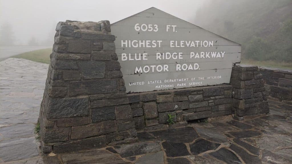 ModerateRichland Balsam Nature Trail1.5 mi · 1.2 hr · 11 mi awayShort spruce-fir lollipop loop to the Parkway’s highest summit
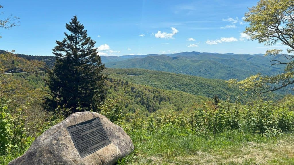 Scenic pullout · At the trailheadBrowning Knob Overlook (MP 451.2)High-elevation overlook with views and a hike to a plane wreck
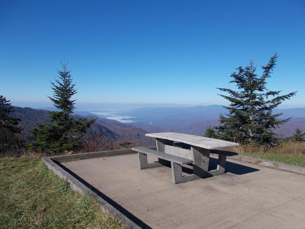 Picnic area · 0.2 mi awayWaterrock Knob Picnic AreaHigh-elevation picnic stop with sunrise-to-sunset mountain panoramas
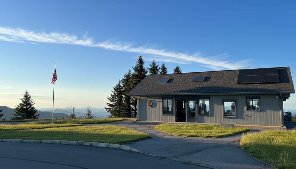 Visitor center · 0.2 mi awayWaterrock Knob Visitor CenterHigh-elevation views and a quick summit hike from the parking lot
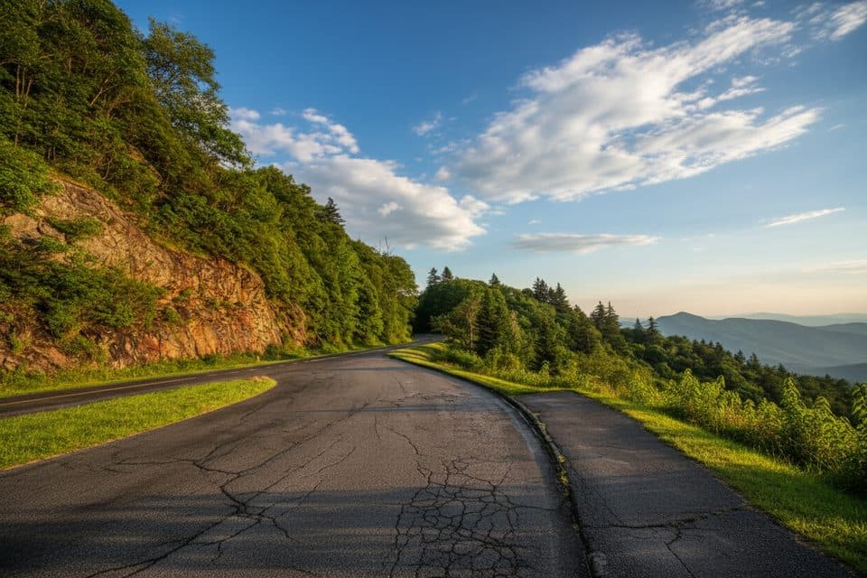 Scenic pullout · 0.6 mi awayYellow Face Overlook (MP 450.2)Quick pull-off with a wide Smokies panorama near Waterrock Knob
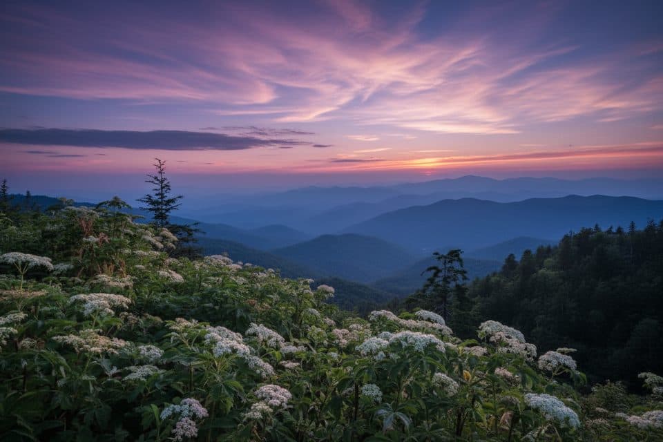 Scenic pullout · 0.7 mi awayWoolyback Overlook (MP 452.3)Layered valley panorama and a stellar sunset stop
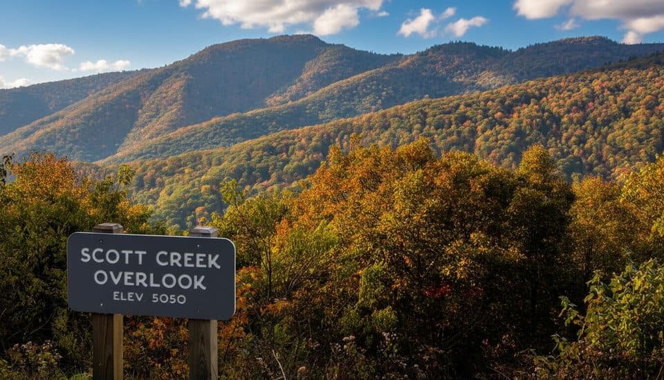 Scenic pullout · 1.4 mi awayScott Creek Overlook (MP 448.5)Quiet roadside pullout with big mountain layers and trail access
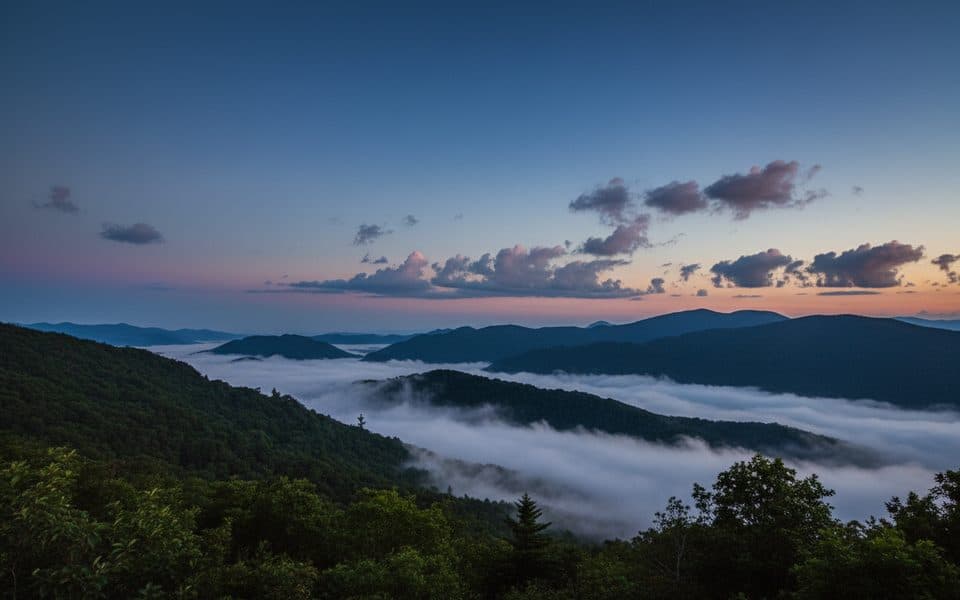 Scenic pullout · 1.6 mi awayWesner Bald Overlook (MP 448.1)Quiet pull-off with layered mountain views and sunrise potential
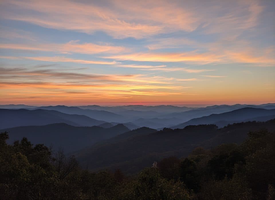 Scenic pullout · 2 mi awayThunderstruck Overlook (MP 454.4)Sweeping ridge-and-valley views from a quick, high-elevation pullout
Parkwolf’s Blue Ridge Parkway ranking
The audio tour guide for the drive, plus offline maps, trails, and wildlife heatmaps for when the signal drops.





