Second Falls in Blue Ridge Parkway

Sight · Blue Ridge Parkway

Second Falls

A tiered waterfall at the end of a short, steep spur.

Photo: NPS Photo / A. Armstrong

Type
Sight
Nearest trail
Right here
Audio stories
6 nearby
  • Trailhead
  • Parking
  • Restrooms
  • Scenic viewpoint
  • #33 of 217 sights

Hear the audio tour

Graveyard Fields: The Short Walk to Second Falls
Download Parkwolf on the App StoreGet Parkwolf on Google Play

4.7 from 8,600+ ratings

Overview

About Second Falls

Why stop

  • Several cascades and a pool are visible from the base.

Heads up

  • The overlook lot can fill in busy seasons.

Map

Where it is

Loading the Blue Ridge Parkway map
Full map
SightSecond Falls35.32226, -82.84683
Keep this map with you offline in the Parkwolf app

Plan your stop

Before you go

Best time to go

Start at the Graveyard Fields Overlook parking lot, which serves the wider trail network. It can fill in the late-spring-through-early-fall rush, so arriving early can save a long walk along the road. Stay out of restricted roadside areas, where steep banks drop away. Vault or composting toilets are available at the overlook. The Parkway can close here with winter snow and ice, so check road conditions before setting out.


7 active Blue Ridge Parkway alerts

  • ClosureWeather closures near Craggy Gardens and southern ParkwayWeather closures block Parkway sections near Craggy Gardens and south of Beech Gap, as well as Mount Mitchell State Park and Heintooga Spur Road; do not enter closed roads. - MP 355.3–375.Official details
  • ClosureHurricane Helene closures and hazards in North CarolinaDo not enter closed Parkway sections, trails, facilities, or adjacent NPS lands in North Carolina; recreation is prohibited in the closed NC Highway 80–Mount Mitchell section. - The MP 344.2–355.Official details
See all 7 alerts
A park ranger sits on a dash-mounted phone, talking, as Parkwolf’s Tour Guide plays “Army Cutworm Moths: A Grizzly Bear Buffet” on Grand Loop Road below Dunraven Pass in Yellowstone
Parkwolf Tour GuideThe highest, rockiest slopes around here are a summer buffet for grizzly bears.

Blue Ridge Parkway Tour Guide

Your drive to Second Falls, narrated.

Parkwolf is a GPS audio tour guide for Blue Ridge Parkway. As you drive, it chimes in with what’s ahead: hidden gems, upcoming stops, history, geology, and wildlife, right through your car’s speakers.

See the Blue Ridge Parkway audio tour

Recorded for this place

Graveyard Fields: The Short Walk to Second Falls
0:00 / 0:24
“You're approaching Graveyard Fields, an open high valley with waterfalls below the road.”

Plays as you drive up to Second Falls in the Parkwolf Blue Ridge Parkway Tour Guide.

More stories near here in the app

  • East Fork Overlook: Above the Headwaters
  • John Rock View: A Brief Break Beside the Parkway
  • Looking Glass Rock Overlook: The Shining Face
  • Black Balsam Knob: A Short Hike Above the Trees
  • 298 audio storiesacross Blue Ridge Parkway’s roads, triggered by GPS as you drive
  • Wildlife heatmapsfor Black Bear, Elk, White-tailed Deer, and 13 more
  • Works offlinemaps, 145 trails, 251 places, and audio download before you lose signal
  • CarPlay readysimple controls built for the drive
★★★★★
“…We knew we wanted to drive the Blue Ridge Parkway. The narration was impeccably timed. The facts and info provided were meaningful. Without it, the trip would not have been near as awesome.”
Ashl GApp Store review
Download Parkwolf on the App StoreGet Parkwolf on Google Play

4.7 from 8,600+ ratings

Guide

More about Second Falls

A short waterfall walk with a steep returnSecond Falls, also called Lower Falls, is a broad cascade on Yellowstone Prong in the valley of…

Second Falls, also called Lower Falls, is a broad cascade on Yellowstone Prong in the valley of Graveyard Fields. From the Graveyard Fields Overlook at Parkway milepost 418.8, follow the loop trail to the waterfall spur. The falls are about one third of a mile from the trailhead. It is a compact detour for a close-up waterfall view, though the stairway makes the return feel harder than the distance suggests.

At the baseAfter crossing Yellowstone Prong, turn right along the stream and descend a long series of…

After crossing Yellowstone Prong, turn right along the stream and descend a long series of steps to the base. Water spreads across broad rock ledges into a pool, with spray reaching the viewing area. For a photo, include the sloping shelves below the water so the tiers and pool read together. The return is the same way. Mist and algae make the rocks slippery, and the top of the falls is dangerous, so stay on the established steps and viewing area.

One stream, two waterfallsYellowstone Prong feeds both Graveyard Fields waterfalls.

Yellowstone Prong feeds both Graveyard Fields waterfalls. Upper Falls is farther around the loop, reached by a separate 0.8-mile spur that crosses small creeks and gets rocky near its end; Second Falls is the closer choice when you want one quick cascade stop. Graveyard Fields is a mile-high valley with open meadows and rolling ridges. Its name is said to refer to wind-toppled stumps that looked like gravestones; logging and a 1925 fire later slowed the forest's recovery.

Wildlife

Wildlife in Blue Ridge Parkway

All Blue Ridge Parkway wildlife maps

Sighting maps show where each species has been reported across Blue Ridge Parkway. Wildlife moves, so no sighting is guaranteed.

Keep exploring

Near Second Falls

See it all on the map

Trails nearby

More stops nearby

Parkwolf’s Blue Ridge Parkway ranking

Top sights in Blue Ridge Parkway

All 251 places
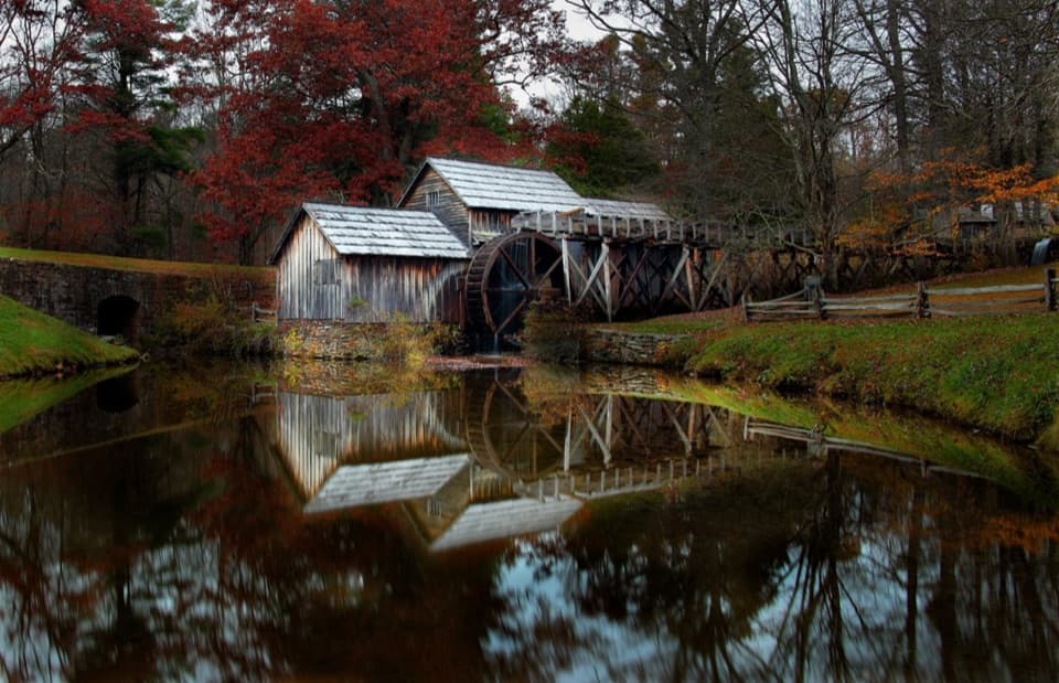
  1. 1Mabry MillSight
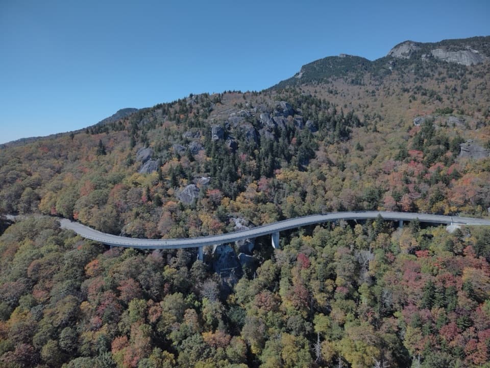
  2. 2Linn Cove ViaductSight
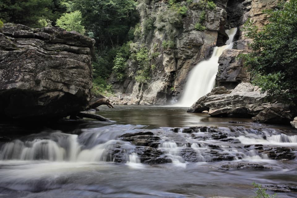
  3. 3Linville FallsSight
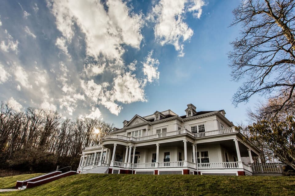
  4. 4Moses H. Cone Memorial Park and Flat Top ManorSight
  5. 5Mount Mitchell SummitSight
  6. 6Craggy PinnacleSight

Take Parkwolf to Blue Ridge Parkway.

The audio tour guide for the drive, plus offline maps, trails, and wildlife heatmaps for when the signal drops.

4.7 from 8,600+ ratings

Download Parkwolf on the App StoreGet Parkwolf on Google Play