Pros & cons
PROS
- Blueberry picking is allowed (up to 1 gallon per person per day).
- Two distinct waterfalls in one loop, with an easy early spur to a swim hole.
CONS
- Wayfinding can be confusing near Upper Falls due to social trails.
- Heavy crowds at Second Falls and limited parking during peak seasons.
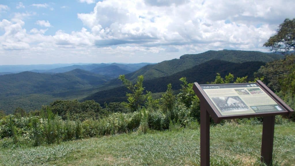
Park at Graveyard Fields Overlook on the Blue Ridge Parkway (MP 418.8). Large lot with pit toilets; arrive early on summer weekends and in fall. Trail starts at the lower end of the lot down a paved path to a bridge.
Rocks around waterfalls are extremely slick—stay off wet slabs and never climb above the falls. Expect muddy, eroded sections and stairs. Limited cell service; bring an offline map and follow official blazes. Winter ice and occasional Parkway closures; check conditions. No drinking water at the trailhead.
Why go
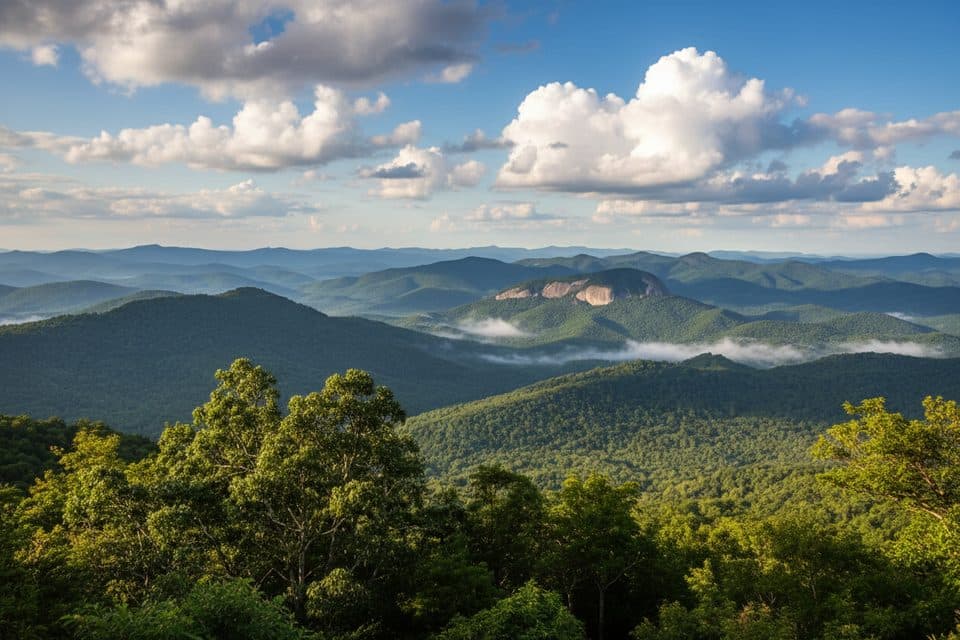
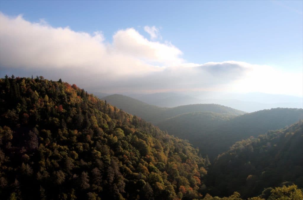
This is the Blue Ridge Parkway’s crowd‑pleaser for good reason: a mile‑high valley of open meadows, rhododendron tunnels, and two photogenic waterfalls fed by the Yellowstone Prong. In summer you can swim below Second (Lower) Falls and pick blueberries; in fall the meadows flame with color. It’s popular and can feel busy—but the scenery delivers.
The route, in short
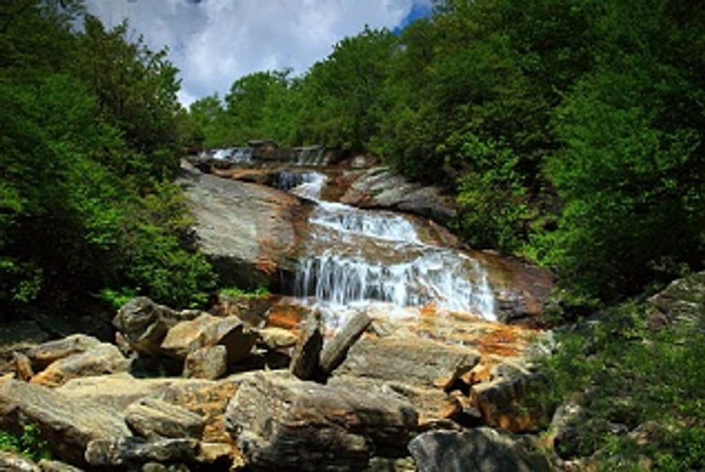
Start from Graveyard Fields Overlook (MP 418.8) and descend a paved path through dense rhododendron to steps and a bridge over the Yellowstone Prong. Cross the bridge and turn right—the first right is a short spur down a long stairway to Second/Lower Falls, an easy add‑on with a great swimming hole. Return to the main path to continue the loop across open meadows and boardwalks. Stay left at the junction with Graveyard Ridge Trail to keep heading for Upper Falls. Reaching Upper Falls takes a bit more effort on rougher, often muddy tread, then the loop circles back toward the parking area. The full loop with the Upper Falls segment is about 3.5 miles total, with roughly 450 feet of gain.
What you’ll see
- Waterfalls: Second (Lower) Falls is the quick win; Upper Falls is quieter and more work. Rocks are slick—keep off wet slabs and never climb above the falls.
- Flora: Rhododendron blooms light up early summer; meadows host wildflowers, ferns, and low shrubs. Blueberry bushes ripen late July–August; personal picking is allowed up to 1 gallon per person per day.
- Landscape: The area’s open, “haunted” look comes from historic windthrow and a 1925 fire that left stump “grave markers,” with slow regrowth creating a rare open high‑elevation valley.
Difficulty and footing
Expect an overall moderate hike: plenty of stairs, boardwalks, roots, rocks, and frequently muddy sections, especially after rain. The steepest grades are on the waterfall spurs and near Upper Falls. Foot traffic only—no bikes or horses.
Practicalities and crowds
- Parking: The overlook lot fills early on summer weekends and peak fall days. There are pit toilets at the trailhead, but no drinking water—bring your own.
- Navigation: Cell service is limited and social paths can mislead near Upper Falls. Download a map and follow blazed/official routes; at the Graveyard Ridge junction, stay left to reach Upper Falls.
- Regulations: No camping within Graveyard Fields. Swimming is allowed at Second Falls—enter with care.
Best time to hike
- Summer: Lush greenery, swimming, and blueberries. Go early or on weekdays to beat crowds and secure parking.
- Early fall: Stellar color with cooler temps and (slightly) fewer people—midweek mornings are best.
- Late spring/early summer: Rhododendron bloom season and good waterfall flow.
- Winter: Icy conditions and occasional Parkway closures—check status before you go.
If you want fewer people
Hit the trail at sunrise, loop counter‑crowd to Upper Falls first for some solitude, then swing by Second Falls on the way out.
Where it starts
35.3200, -82.8476Near Graveyard Fields Loop Trail
All places →All trails →
0 mi awayUpper Falls TrailShort, berry-lined stroll to a photogenic two-tiered waterfall.Moderate · 1.6 mi · 1 hr
0 mi awayGraveyard FieldsOpen high-elevation valley with waterfalls and August blueberriesTrailhead · Restroom
0.4 mi awayEast Fork OverlookClose-up mountain layers with haunting American chestnut snagsPullout · Parking
1.1 mi awayLooking Glass Rock OverlookClassic view of Looking Glass Rock’s shimmering granite domePullout · Parking
1.6 mi awayTennent Mountain LoopHigh-elevation balds, big views, and a fun 5-mile Art Loeb loopModerate · 5 mi · 2 hr
1.6 mi awayBlack Balsam Knob via Art LoebShort, high-reward climb to a 360-degree bald with sweeping viewsModerate · 1.4 mi · 46 min
1.6 mi awayFlat Laurel Creek TrailCreekside meadows, cascades, and Sam Knob views without the crowdsModerate · 7 mi · 5 hr
3 mi awayDevil's CourthouseShort, steep climb to a cliff-top panorama across four statesTrailhead · Parking