Overview
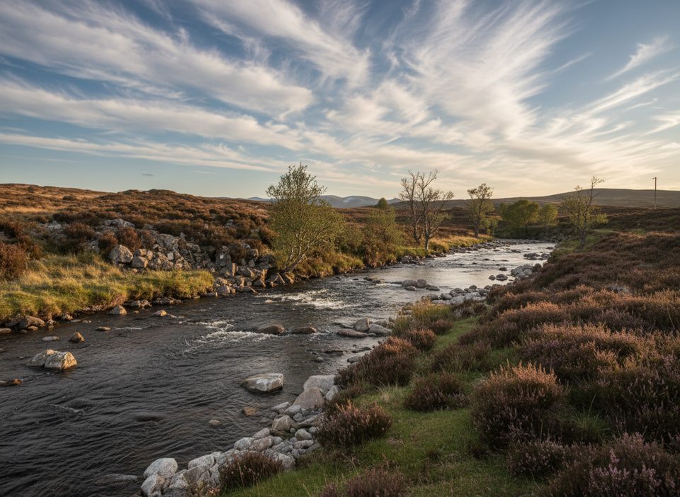
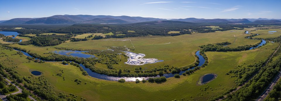
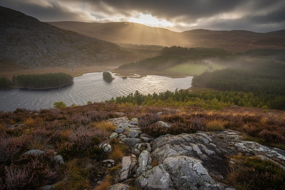
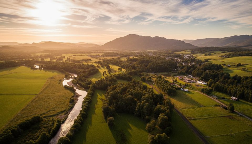
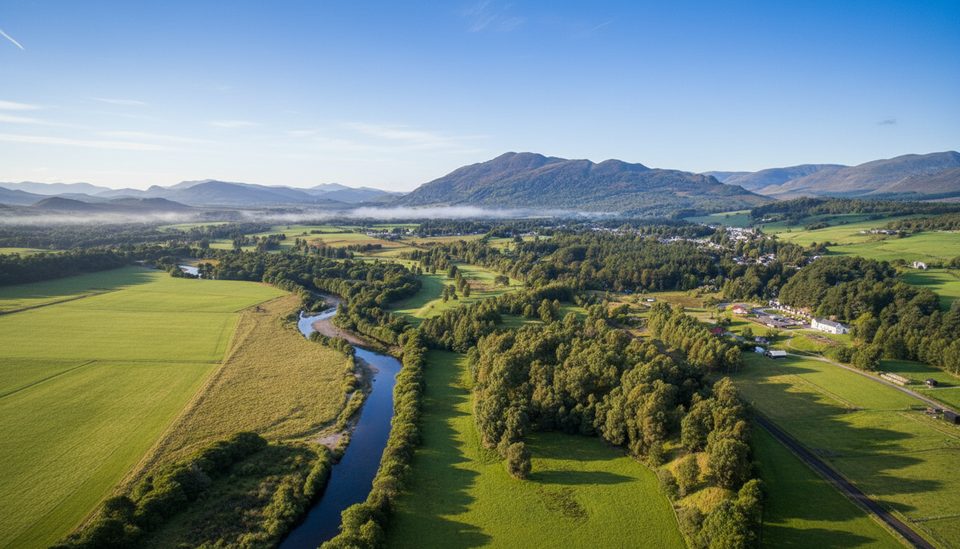
A tributary of the Spey, the River Tromie runs north through Glen Tromie and into one of the most tranquil corners of the area. Expect big-sky glen views, birchwoods, shingle banks, and short sections of cliff and rapids. It’s a low-key, nature-first outing rather than a developed attraction.
Highlights
- Tromie Bridge Gorge: a short, informal path leads to close-up views of cliffs and fast water.
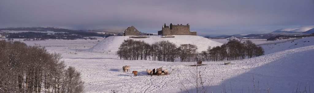
- History in the mix: the crossing at Tromie Bridge is a protected, listed structure, and many walkers pair a glen wander with the ruins of Ruthven Barracks nearby.
- Restoration in action: large woody material has been added in places to mimic natural river processes, increase habitat complexity, and boost biodiversity.
Wildlife
The river supports spawning, feeding, and resting habitat for fish such as Atlantic salmon. With healthier invertebrate life, you’ve got a chance of seeing river birds like dippers, kingfishers, and goldeneye. Restoration work has also benefited some rare insects along the corridor.
Getting There & What to Expect
- The B970 crosses the river at Tromie Bridge, a handy landmark for accessing the gorge and riverside paths.
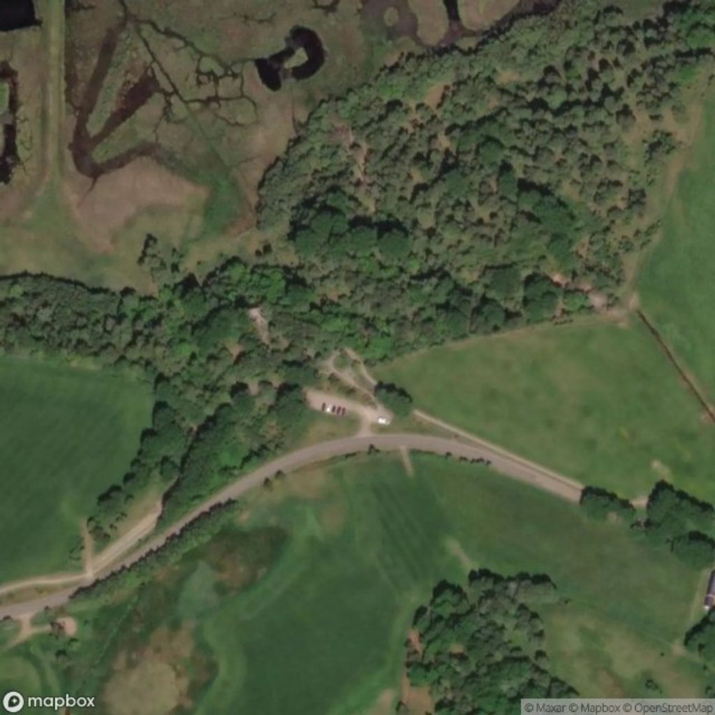
- Parking is extremely limited at the bridge (a tiny verge pull-in for small cars) and there are no facilities—plan to be fully self-sufficient.
- The popular Ruthven and Glen Tromie circuit uses minor road and estate tracks to bring you into the glen beside the river; expect gates and working farmland/estate infrastructure along the way.
- Underfoot can be rough: old paths and rights of way can turn boggy and overgrown, especially after wet weather.
Best Time to Visit
Aim for drier spells—boggy sections are the main spoiler here. This glen stays peaceful most of the year, so you’re visiting for quiet immersion rather than a timed spectacle. With minimal parking near the bridge, have a backup plan if the small verge space is taken.
Practical Tips
- Bring proper boots, waterproofs, and navigation—this is a wild-feeling corridor with no services.
- If visiting the gorge from Tromie Bridge, do not block turning space for larger vehicles; the pull-in is very small.
- Consider starting from the Ruthven Barracks side for a fuller circuit that threads into Glen Tromie beside the river.