Pros & cons
PROS
- Ancestral Puebloan stone tower with sweeping Green River views
- Unique pairing of ancient ruin and historic cowboy cabin below
CONS
- High-clearance 4WD and a permit required via White Rim Road
- Fully exposed hike with no shade or facilities
Overview
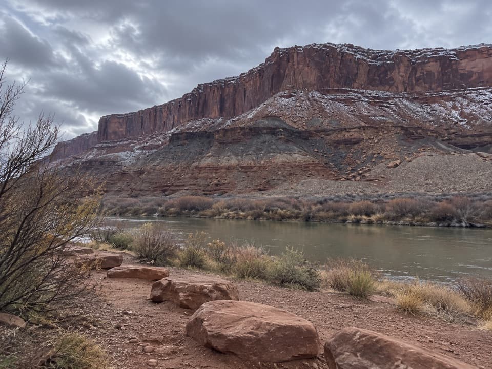
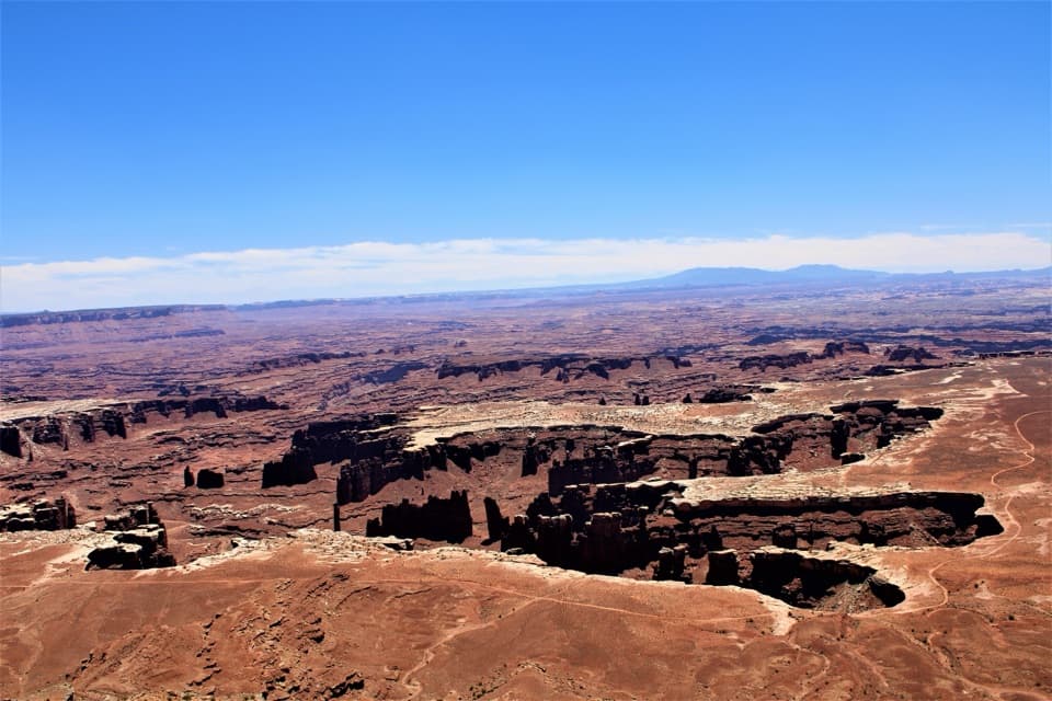
Fort Bottom Ruin is a remote Ancestral Puebloan stone tower perched on a peninsula above a dramatic meander of the Green River. It’s one of those Island in the Sky spots that blends big scenery with deep time—quiet, windswept, and far from the park’s crowds.
What You’ll See
- The ruin itself: a small, photogenic stone tower on the mesa edge with commanding river and canyon views.
- A late‑19th‑century cowboy line cabin near the river (a spur off the main path), adding a second layer of human history to the outing.
- Expansive Green River vistas that shine at sunrise and sunset.
Getting There & The Hike
Access is from the White Rim Road, and you’ll need a high‑clearance 4WD plus a permit to drive it. The signed trailhead sits off this rugged road. The hike is generally moderate—about 3.4 miles roundtrip (up to roughly 4.8 miles with spurs) with around 400 feet of gain. Expect exposed slickrock, some rocky sections, and drop‑offs near viewpoints. Plan on 2–3 hours depending on how much time you spend exploring. There’s no cell service.
Conditions & Safety
This is true backcountry: no water, no restrooms, no developed parking. The route is mostly straightforward but can feel vague in spots—carry a map or GPS. Don’t attempt the White Rim Road after rain; mud can make it impassable.
Respect the Past
The ruin is fragile. Do not enter, touch, or climb on the walls; admire from a respectful distance to help preserve it for the next person.
Wildlife
You’re in classic Canyonlands habitat. Keep an eye out for ravens and raptors riding thermals, scurrying lizards, and signs of desert mammals. With the solitude out here, chance encounters feel extra special.
Best Time to Visit
Spring and fall bring the friendliest temperatures. Summer can be dangerously hot on this exposed route; winter may bring ice. For photography, low light at sunrise or sunset flatters the ruin and the river’s curves. Crowds are minimal year‑round due to the 4WD approach.
Is It Worth It?
If you’ve got the vehicle and the appetite for a little dirt-road adventure, this is a standout stop on the White Rim—history, solitude, and big canyon views in one tidy package.
Where it is
38.4513, -110.0350Tips for Fort Bottom Ruin
- 01You’ll need a permit to drive the White Rim Road—secure it in advance.
- 02Carry plenty of water (plan on at least 1 liter per person per hour) and sun protection.
- 03Bring a map or GPS; the route is exposed and not always obvious, and there’s no cell service.
- 04Do not touch or enter the ruin—view from a respectful distance.
- 05Avoid visiting after rain; the White Rim Road can become impassable and requires high‑clearance 4WD.
Amenities
Near Fort Bottom Ruin
All places →All trails →
0.4 mi awayFort Bottom TrailRemote mesa walk to a cliff top ruin above a Green River bendModerate · 3.4 mi · 2.5 hr
2 mi awayPotato BottomRemote Green River backcountry camp on the White RimCampground · Restroom
5.7 mi awayUpheaval DomeShort hike to a bizarre, crater-like mystery with big viewsTrailhead · Parking
6.1 mi awayUpheaval Dome second overlookBest vantage into the mysterious Upheaval Dome craterScenic Viewpoint
6.1 mi awaySyncline Loop OverlookTrailhead gateway to Upheaval Dome views and the Syncline adventureTrailhead · Parking
6.1 mi awaySyncline Loop TrailThe toughest loop around the mysterious Upheaval DomeChallenging · 8.1 mi · 6 hr
6.1 mi awayUpheaval Dome Overlook TrailShort, steep walk to a geologic enigma with big views.Moderate · 1.3 mi · 1 hr
6.1 mi awayUpheaval Canyon TrailRemote sandy canyon to the White Rim with big-wall solitudeModerate · 3.5 mi · 2.5 hr