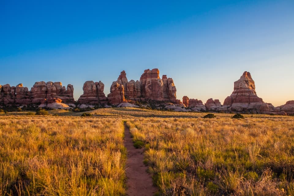
Parking
The Fort Bottom trailhead is where the path leaves White Rim Road. Reaching it requires a 4WD vehicle and a permit to drive the road.

Canyonlands National Park, UT
A narrow mesa walk to an ancient tower above the Green River.
Overview
Map & elevation
Plan your hike

The highest, rockiest slopes around here are a summer buffet for grizzly bears.
Canyonlands Tour Guide
Parkwolf is a GPS audio tour guide for Canyonlands National Park. As you drive, it chimes in with what’s ahead: hidden gems, upcoming stops, history, geology, and wildlife, right through your car’s speakers.
See the Canyonlands audio tourMore stories near here in the app
“Fantastic app with many points of information… It’s great to just turn on while you’re driving and it gives you an audio tour of the national Park. We love it!!!!”


Trail guide
Fort Bottom Trail is a 3.4-mile out-and-back from White Rim Road across a narrow, exposed mesa to a high point above a bend in the Green River. An ancestral Puebloan tower marks the historic home at the end. Allow about two hours; the route has roughly 418 feet of elevation change. The distance is manageable, but the exposed edges are the deciding factor.
Expect uneven, rocky footing as the route crosses the narrow mesa. Some sections have drops of several hundred feet on both sides, so this is a poor choice if heights make you uneasy. The route leads to the tower viewpoint and returns the same way. Stay on the marked trail and give the fragile stonework space.
The trail leaves White Rim Road, a rough 4WD backcountry road; a vehicle permit is required to drive it. There is no potable water along the hiking trails, so bring plenty of water and snacks. Dogs are not allowed on the trail, though service animals are. The rocky tread is not wheelchair accessible.
At the high point, the tower and Green River bend make the clearest view of why this trail crosses the mesa. For a photo, include both the stone structure and the curve of the river rather than filling the frame with the tower alone. Do not enter, touch, or climb on the archaeological site.
Wildlife
 48 sightingsBighorn SheepMost seen around 7 AMSighting map
 47 sightingsMule DeerMost seen around 7 AMSighting map
 12 sightingsCoyoteMost seen around 7 PMSighting map
 30 sightingsWestern RattlesnakeMost seen around 7 PMSighting map
 18 sightingsTurkey VultureMost seen around 11 AMSighting map
 18 sightingsWild TurkeyMost seen around 7 AMSighting map
Sighting maps show where each species has been reported across Canyonlands. Wildlife moves, so no sighting is guaranteed.
Keep exploring
 ChallengingUpheaval Canyon Trail7 mi · 3.5 hr · 1.9 mi awaySeven miles round trip along a remote, sandy canyon wash.
 ModerateUpheaval Dome Overlooks Trail1.2 mi · 1.5 hr · 5.1 mi awayA short, steep climb to colorful folded rock and canyon views.
 ChallengingUpheaval Crater Trail9.2 mi · 7.5 hr · 5.1 mi awayA strenuous 9.2-mile out-and-back into Upheaval Dome's crater floor.
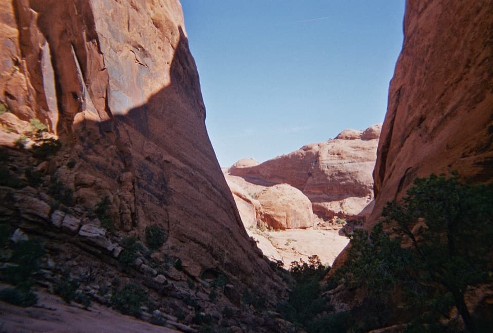 ChallengingSyncline Loop Trail8.1 mi · 6 hr · 5.1 mi awayA demanding loop of steep descents, sand and boulder scrambles.
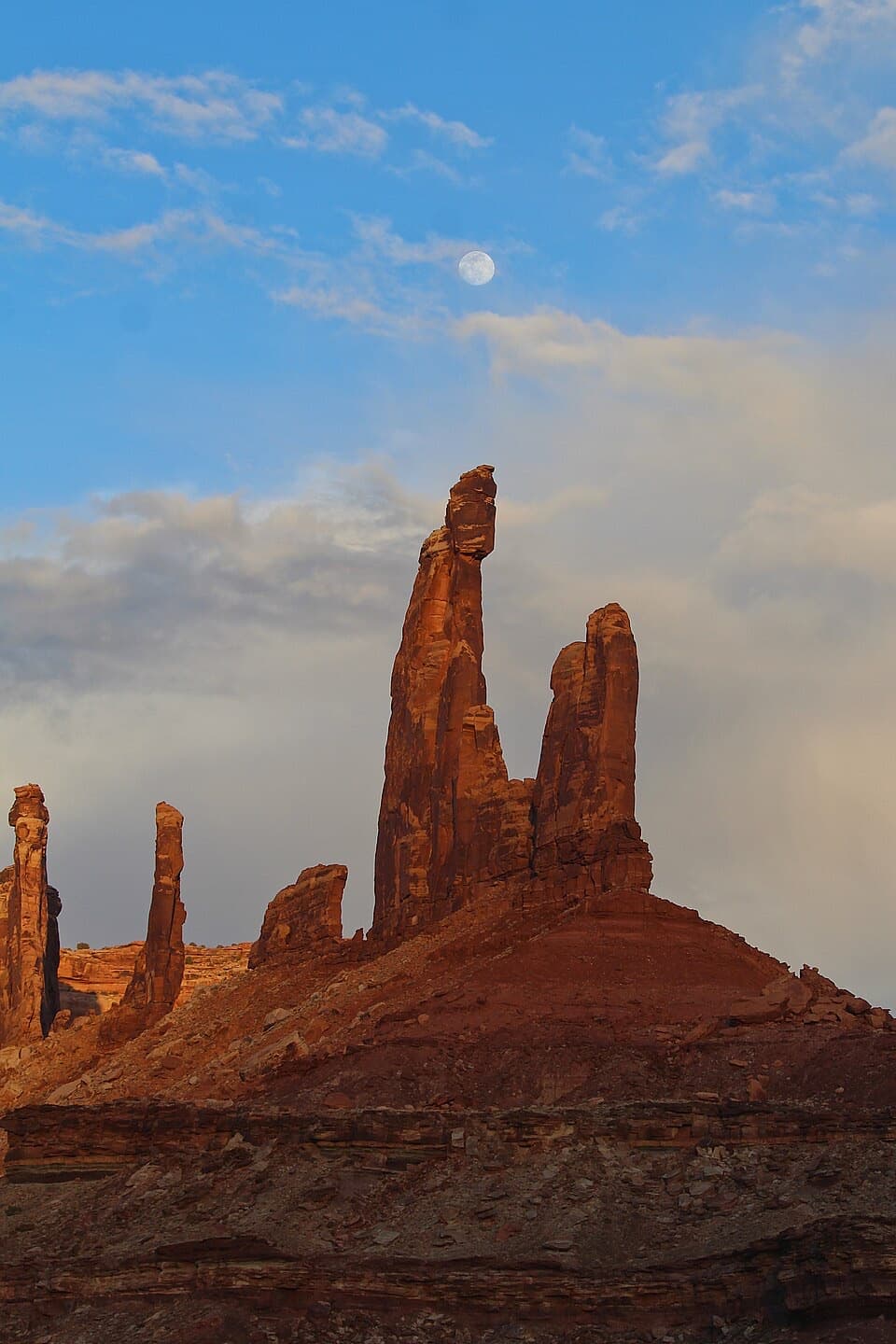 ModerateMoses and Zeus Trail1.3 mi · 1.5 hr · 5.7 mi awayTwo sandstone towers reward a short, rough hike into Taylor Canyon.
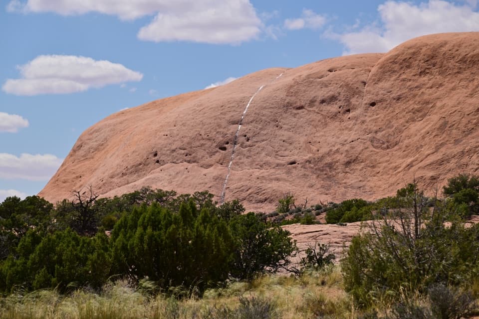 ModerateWhale Rock Trail0.8 mi · 1 hr · 5.7 mi awayA short slickrock scramble to broad Island in the Sky views.
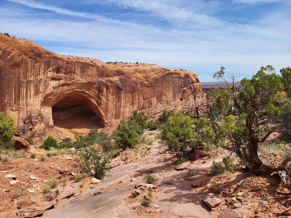 ChallengingAlcove Spring Trail11.2 mi · 6.5 hr · 6.1 mi awayFull-day canyon descent to Alcove Spring and Moses and Zeus towers.
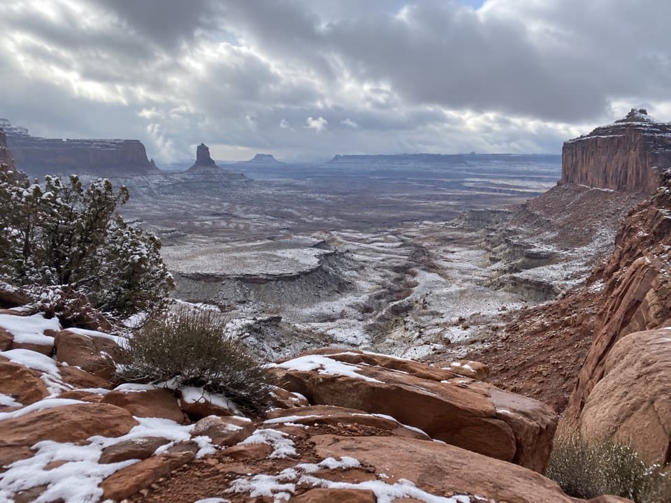 ModerateFalse Kiva Trail1.9 mi · 1.8 hr · 6.1 mi awayA rough, cairned descent to wide views over Holeman Canyon.
 Campground · 0.7 mi awayHardscrabble Camping AreaTwo river campsites, deep on the demanding White Rim loop.
 Sight · 1.1 mi awayFort Bottom RuinA stone tower above a sweeping bend of the Green River.
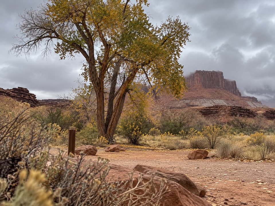 Campground · 1.7 mi awayPotato Bottom Camping AreaA remote overnight for a long, demanding White Rim trip.
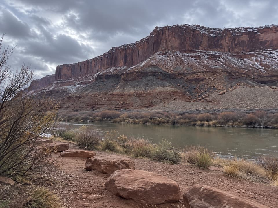 Campground · 2.3 mi awayLabyrinth Camping AreaTwo remote campsites on a rugged, permit-only White Rim trip.
 Sight · 4.9 mi awayUpheaval DomeA three-mile-wide geologic mystery, seen from two steep overlooks.Sight · 5.6 mi awayWhale RockWhale-shaped slickrock, a short scramble, and a wide-open top.Sight · 6.2 mi awayMoses and Zeus TowersTwo desert towers make a memorable detour for backcountry explorers.
 Campground · 8.2 mi awayWillow Flat CampgroundA quiet, no-frills base near Green River Overlook and dark skies.
Parkwolf’s Canyonlands ranking

The audio tour guide for the drive, plus offline maps, trails, and wildlife heatmaps for when the signal drops.