
Place · 0.9 mi away
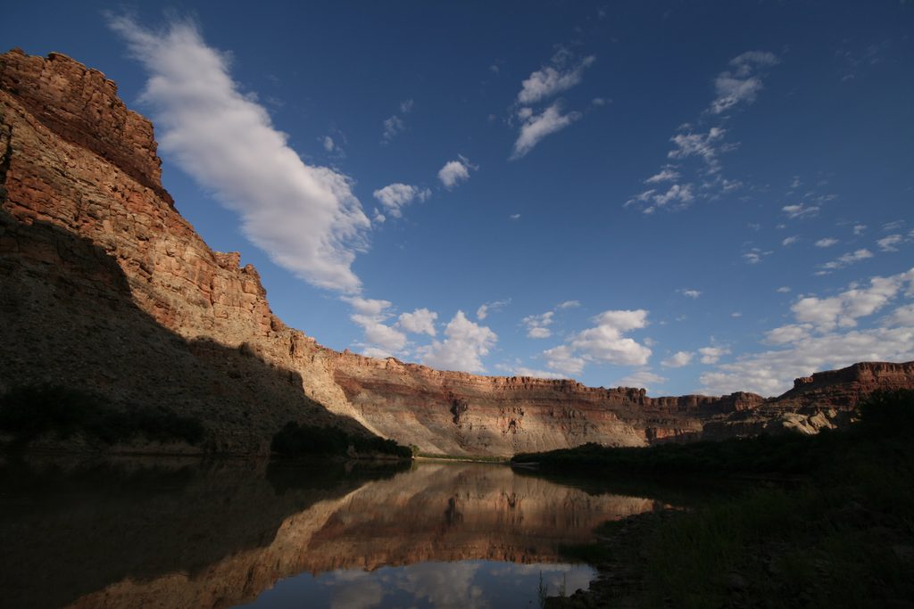
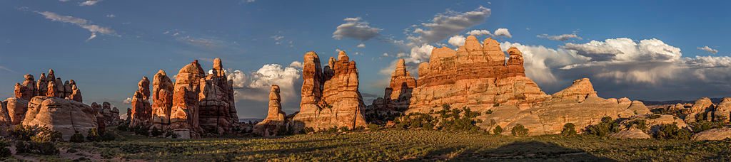
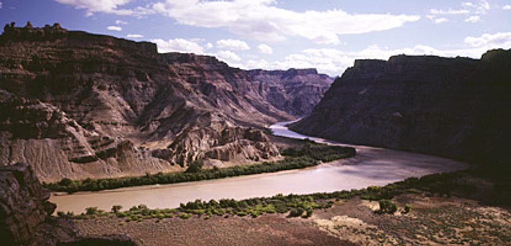
Spanish Bottom is a broad, sandy bench on the west bank of the Colorado River beneath the Doll House in the Maze District. It’s a true backcountry hub: river travelers land here, and hikers use it to climb into the Maze. Expect a wild, quiet setting with towering walls and a dramatic river corridor.
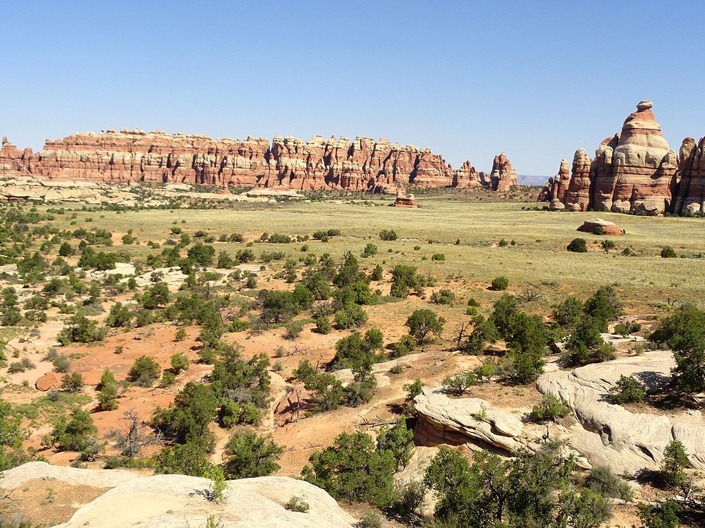
From the river you get sweeping canyon views and that striking transition from riparian green to high‑desert slickrock. Above, the Doll House formations and nearby granaries are the prize—if you’re willing to earn them.
There’s no drivable trailhead. You either arrive by river craft (canoe, raft, or jet boat) or by a strenuous backcountry approach from the Maze. Dogs aren’t allowed on the Spanish Bottom–to–Doll House route.
The route out of Spanish Bottom is steep and exposed, gaining roughly a thousand-plus feet via tight switchbacks. Some parties report a bit of bushwhacking from upper Spanish Bottom to pick up the path. Good boots and trekking poles pay off here, and navigation can be tricky—bring real maps/GPS.
This is primitive backcountry. Groups commonly camp on benches and sand near the river, but there’s no developed campground, no toilets, and no services. The Colorado runs very silty—filter, settle, and treat thoroughly, and plan to carry what you need once you leave the river. Water sources up-canyon are scarce and unreliable; check with the Hans Flat Ranger Station for the latest.
Heat and sun exposure are real factors, and storms can complicate shuttle logistics or render regional roads impassable. Flash floods are possible in side canyons. Navigation in the Maze can be confusing—don’t skimp on route-finding tools and skills.
Open year‑round, but most people aim for cooler shoulder seasons to avoid peak heat. It’s never crowded, though you’ll see more river parties during rafting season. For photos, early/late light accents the canyon walls; midday can be harsh. Start the climb early to beat sun exposure.
Place · 0.9 mi away
Place · 3.1 mi away
Place · 4.4 mi away
Place · 4.9 mi away
Challenging · 0.9 mi away
Challenging · 0.9 mi away
Challenging · 2.8 mi away
Challenging · 5.9 mi away

Parkwolf Tour Guide
