
Place · 2.4 mi away
Challenging
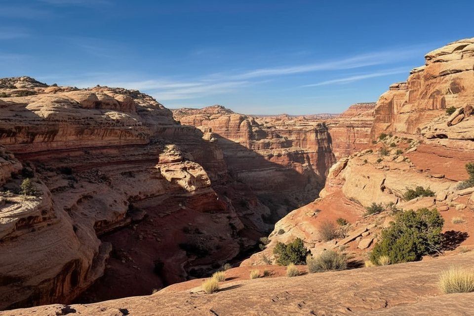
This is the Maze District at its most Maze: a strenuous, cairned loop to one of North America’s premier rock art panels. The Harvest Scene Route is a 8.7–10 mile total loop starting and ending at Chimney Rock. Expect roughly 1,000–1,200 feet of cumulative gain, slow going, and a full-day effort for experienced desert hikers.
From Chimney Rock, two unsigned, cairned routes leave on opposite sides of the formation and form the loop into Pictograph Fork. The terrain is a sampler of Maze country—slickrock benches, sandy washes, rocky gullies, and occasional scrambly sections, including downclimbs on worn steps (often called moqui steps). Navigation is the main challenge: cairns come and go, side canyons tempt you off-line, and there are no signs. Bring a topo map and GPS, and expect to move deliberately.
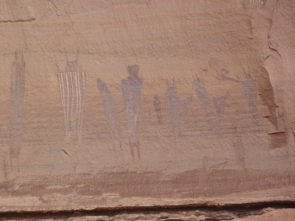
The payoff is extraordinary. Tucked along the canyon wall in Pictograph Fork, the Harvest Scene is a masterwork of Barrier Canyon Style pictographs—ghostly human figures, animals, and scenes of gathering rendered in red and ochre. It’s ancient (on the order of a few thousand years) and extremely fragile. Look, photograph, and leave it untouched.
Reaching the trailhead is its own adventure. Drive Doll House Road to Chimney Rock Camp; the parking and major trailhead sit at the east end of the campground. High-clearance 4WD is the norm here, and roads can become impassable when wet. Water along the route is essentially nonexistent—carry everything you need. Day hiking does not require a permit; any overnight use in the Maze requires a backcountry permit. Pets are not allowed on backcountry trails.
Spring and fall offer the most workable combination of temperatures and road conditions. A documented early-April visit suggests spring can line up well. Summer heat makes this punishing, and any recent rain can shut down the roads and raise flash flood risk in canyons. Start early; you won’t be competing with crowds—solitude is the norm even in prime season.
If you’re comfortable with desert route-finding, long water carries, and committing backcountry terrain, this is a bucket-list loop. If you prefer signed trails, regular water, and simple logistics, choose something easier in the park.
Park at the east end of Chimney Rock Camp on Doll House Road; a major trailhead is located there. Look for cairn lines leaving on both sides of Chimney Rock. High-clearance 4WD recommended.
Remote, unsigned backcountry loop with sustained route-finding, scrambles, and moqui-step descents. No water; extreme heat possible. Roads can become impassable when wet and canyons may flash flood. The rock art is fragile—view only, do not touch.
Place · 2.4 mi away
Place · 2.6 mi away
Place · 2.7 mi away
Place · 2.8 mi away
Challenging · 2.6 mi away
Challenging · 2.6 mi away
Challenging · 3.6 mi away
Challenging · 5.2 mi away

Parkwolf Tour Guide
