Confluence Overlook

Remote rim view where the Green and Colorado Rivers meet
Confluence Overlook, Canyonlands National Park
InsideCanyonlands National Park

Overview

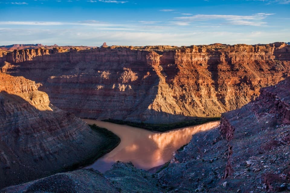
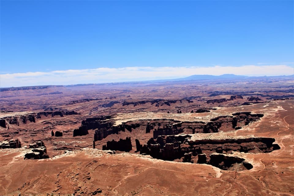
This is the Needles District’s big-payoff viewpoint: a rim perch about 1,000 feet above where the Green and Colorado Rivers meet. You’ll see the distinct river colors mingling, canyon walls stacked to the horizon, and distant looks toward Island in the Sky and the Maze. It’s remote, it’s quiet, and it feels like you’ve earned it.

The Hike

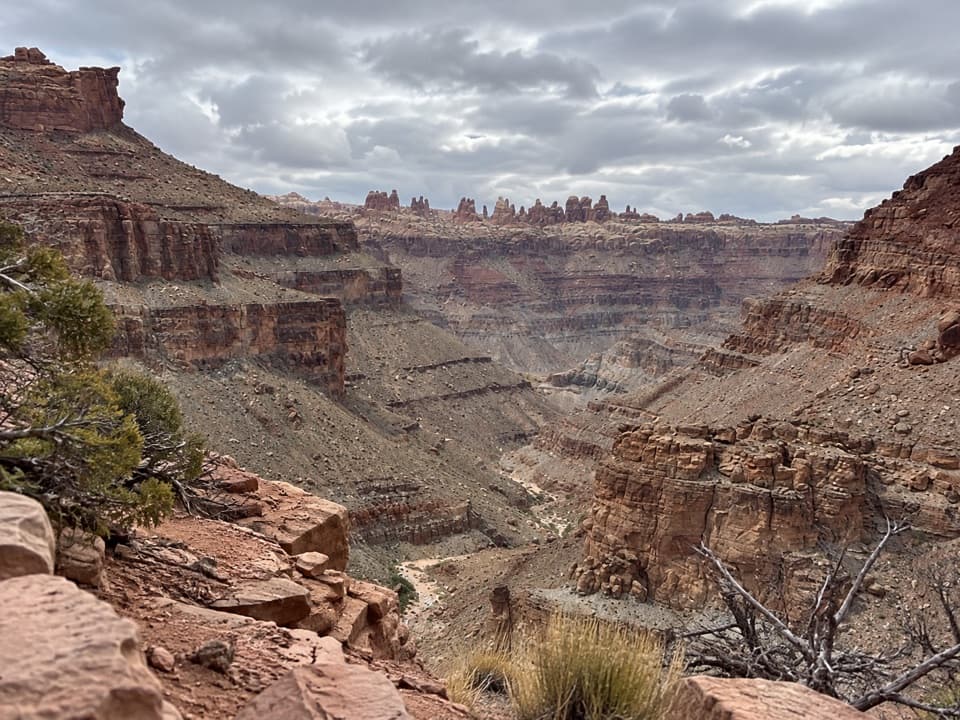
Access is via the Confluence Overlook Trail starting near Big Spring Canyon Overlook at the end of the Needles paved road. Plan on roughly 10–11 miles round trip. The route traverses classic Needles terrain—slickrock domes, sandy washes, and ridges—with a short metal ladder and occasional light scrambling. Expect cumulative elevation gain around 1,000 feet. It’s cairn-marked, but you need to pay attention, especially on broad slickrock.

What You’ll See

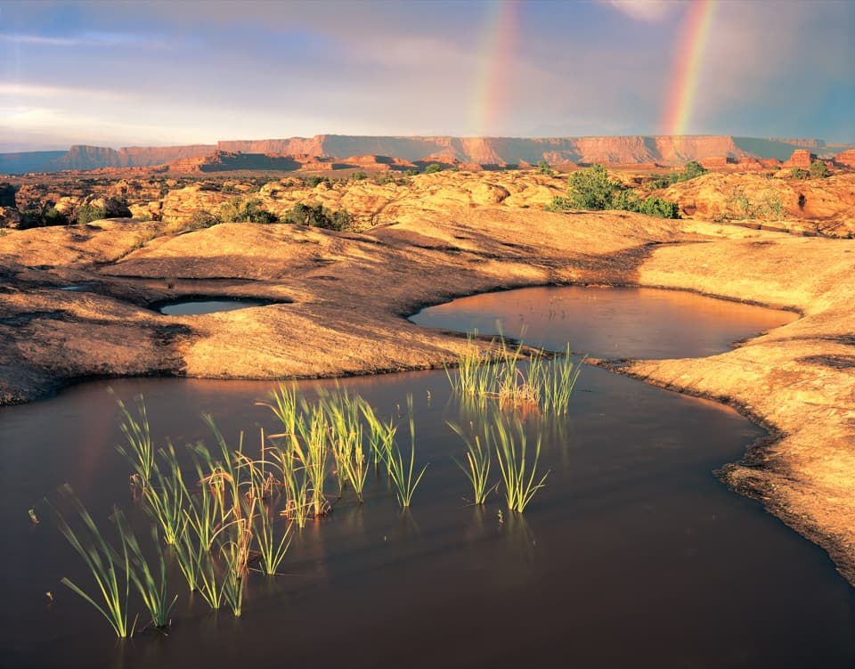
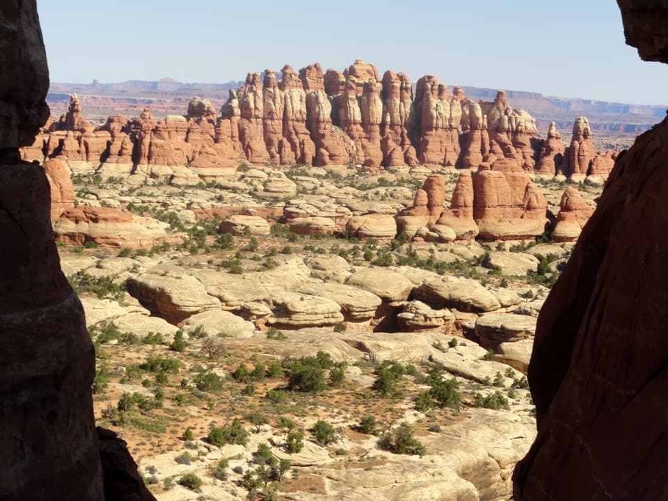
The finale is the money shot: a sweeping view straight down to the rivers’ junction, with the contrasting hues visibly mixing. Along the way, you’ll pass sculpted sandstone, hoodoo-like forms, and wide-open benches. From the rim, gaze across the canyons to other districts of the park for a sense of Canyonlands’ vast scale.

Conditions and Challenges

This is a long, exposed desert hike. There’s little to no shade, no water on the route or at the overlook, and summer heat can be brutal. Solitude is a perk here—expect far fewer people than on the park’s marquee short walks—but that remoteness means you need to be self-reliant.

Geology Snapshot

The trail skirts the northern edge of faulted Needles terrain before ending at the rim carved by two of the West’s great rivers. Slickrock domes, eroded fins, and layered canyon walls tell the story of uplift, faulting, and relentless river erosion.

Regulations and Logistics

Pets aren’t allowed on this trail. There are no facilities at the overlook—no restrooms, no water, no shelter. Any restrooms and parking are back at the trailhead near Big Spring Canyon Overlook.

Best Time to Visit

Spring and fall offer the safest temperatures and best hiking conditions. Start early in the day to beat heat and to give yourself plenty of time for the 5–6 hour outing. Winter can be lovely but cold and occasionally snowy; the route is still followable thanks to large cairns. Summer afternoons are a hard no unless you’re extremely heat-prepared.

Tips for Making It Great

  • Carry at least 3–4 liters of water per person in warm seasons.
  • Follow cairns closely and consider bringing a map or GPS; junctions and slickrock can confuse.
  • Expect a short ladder and minor scrambling; sturdy footwear pays off.
  • From the Big Spring Canyon Overlook area, start left along the rim and descend—don’t mistakenly follow nearby roads that add unnecessary distance.

Pros

  • Big panorama over the Green and Colorado Rivers 1,000 feet below
  • Quiet, remote feel with few crowds

Cons

  • Long, exposed hike with no shade or water
  • Route finding can be tricky across slickrock cairn-to-cairn

Tips

  • Start at Big Spring Canyon Overlook and head left, then down into the canyon.
  • Carry 3–4 liters of water per person; there’s no water or shade.
  • Watch for cairns across slickrock and bring a map or GPS backup.
  • Expect a short ladder and minor scrambling; wear grippy shoes.
  • Leave pets at home; dogs aren’t permitted on this trail.
The Parkwolf tour guide sitting on a phone mounted in a car

Parkwolf Tour Guide

Like a tour guide in your car.

Save the places you found around Canyonlands, then let Parkwolf guide the drive between them.Download Parkwolf on the App Store