
Place · 2.7 mi away
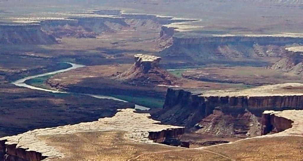
Turks Head is a striking sandstone butte that stands in the middle of a tight Green River meander, creating that classic “gooseneck” look. Its blocky cap of White Rim Sandstone resists erosion, so it rises above the softer red layers and commands the scene. This is a remote, undeveloped corner—come for the geology, the silence, and the sense of scale, not for conveniences.
Expect panoramic views of the Green River wrapping almost completely around the butte and layered reds and whites of eroded sandstone. Keep an eye out for cultural traces: petroglyph boulders, chert and flint chips from prehistoric toolmaking, and remnants of Ancestral Puebloan granaries tucked above the river. Along the water you may spot blue herons, swallows, and ravens, and on the rocks, the small, reddish Hopi Chipmunk.
Most people experience Turks Head from the river (Stillwater Canyon) by canoe, kayak, or raft. It can also be reached via long, rugged hikes from the White Rim Road, which requires a high‑clearance 4WD vehicle. There is no formal trailhead, signage, or facilities—navigation can be tricky, so bring a map/GPS and know how to use it.
Shade is limited, and away from the river there’s no reliable water—pack more than you think you’ll need. Afternoon winds can kick up dust; secure your gear and expect gritty conditions. Photographers love the sweeping curves and isolated butte—sunrise and sunset light play beautifully on the White Rim cap and river bends.
Early morning offers calm conditions and flattering light (great from the river). Late afternoon to sunset paints the butte and canyon walls warmly. Crowds are rarely an issue here given the remoteness; plan around heat and wind more than people.
This is sensitive backcountry with fragile cryptobiotic soils and archaeological sites. Stay on durable surfaces, do not touch or disturb rock art or artifacts, and leave everything as you find it. There are no restrooms—pack out all waste as required on river trips. Bring ample water, sun protection, sturdy footwear, and a solid navigation plan.
Place · 2.7 mi away
Place · 3.3 mi away
Place · 4.2 mi away
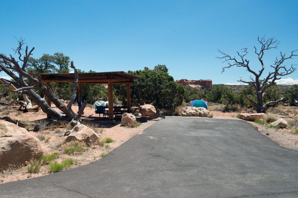
Place · 4.3 mi away
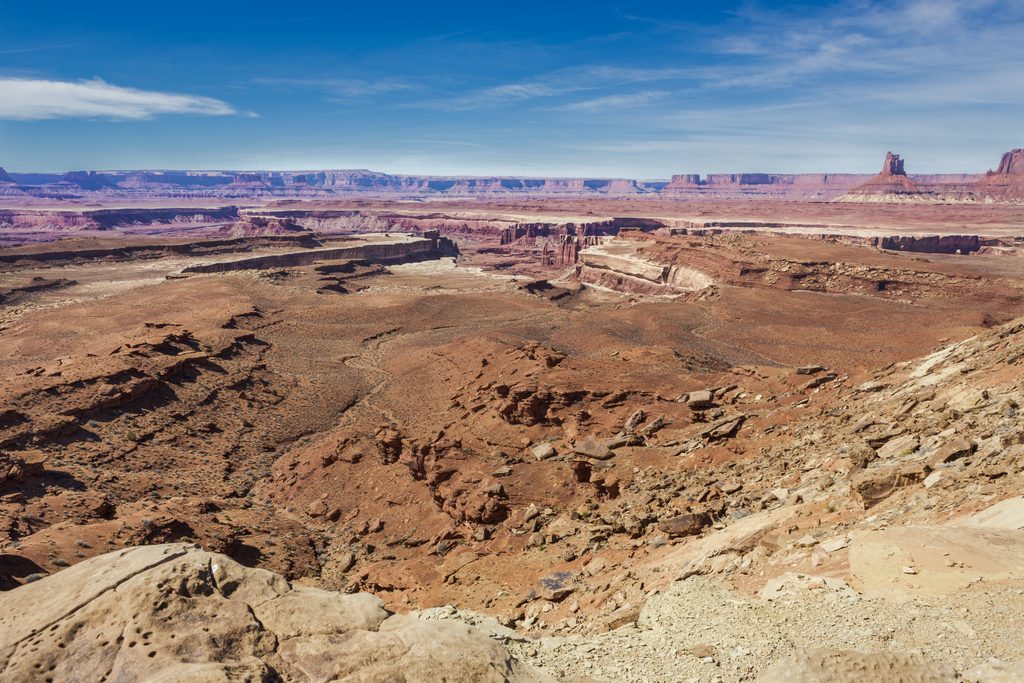
Challenging · 4.8 mi away
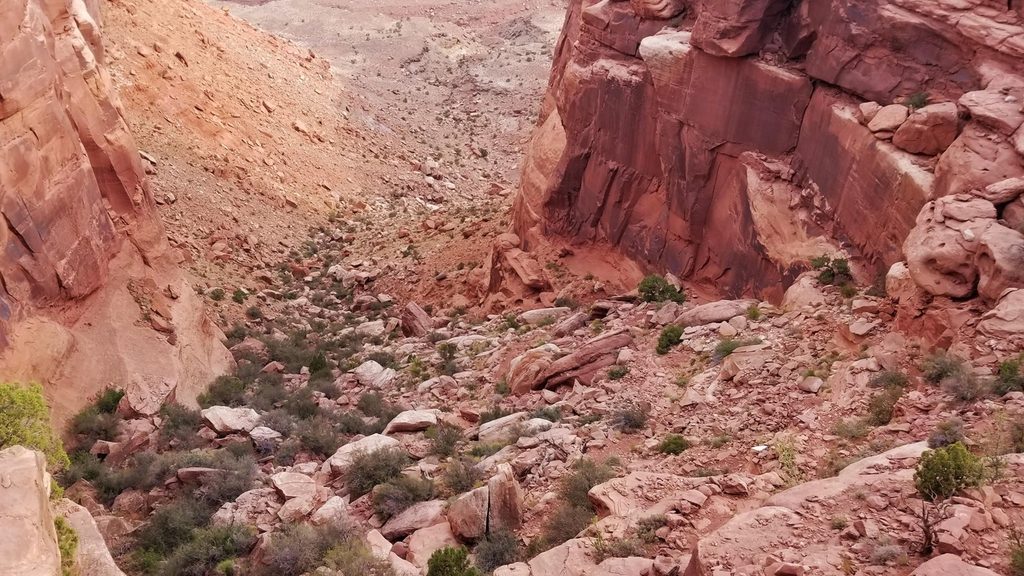
Challenging · 5 mi away
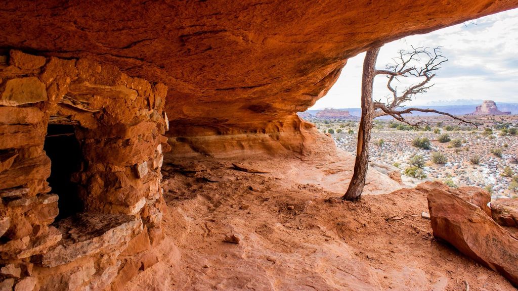
Moderate · 5 mi away
Easy · 5.4 mi away

Parkwolf Tour Guide
