
Place · 0.5 mi away
Moderate
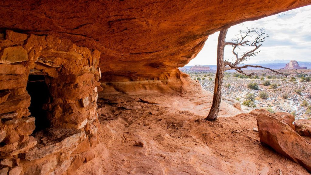
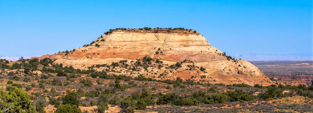
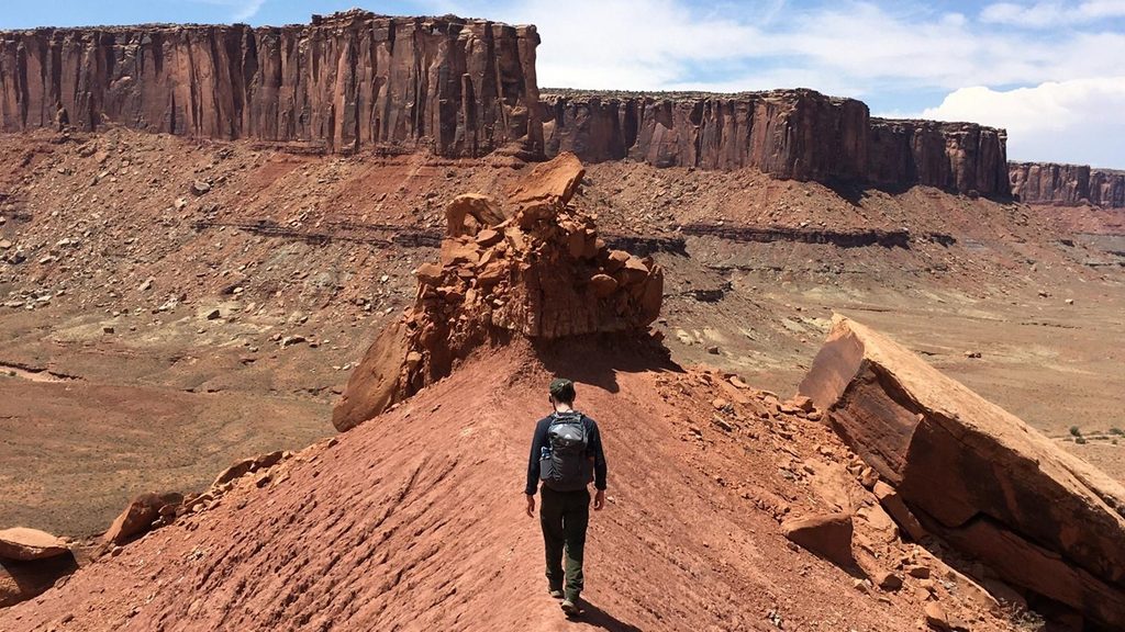
A compact desert adventure with real payoff. Aztec Butte packs panoramic Island in the Sky vistas and rare, easily accessed Ancestral Puebloan granaries into a short outing. The hike is roughly 1.6 miles total (out-and-back, including the short spurs) with about 200 feet of elevation gain. Expect flat, sandy walking to start, then slickrock and short, steep scrambles that feel more serious than the mileage suggests.
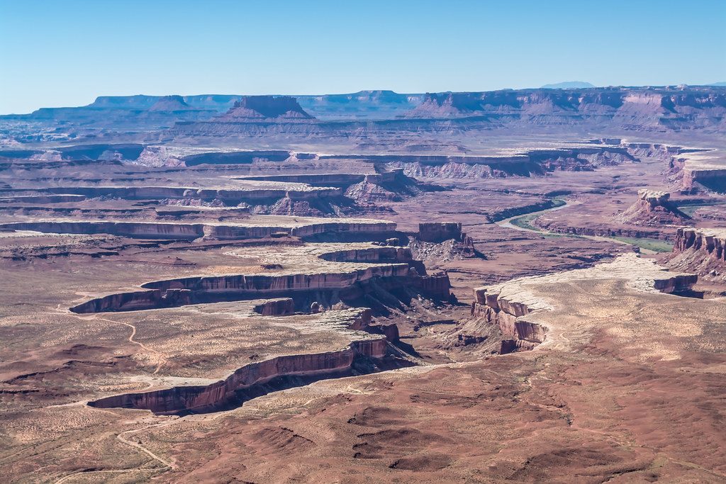
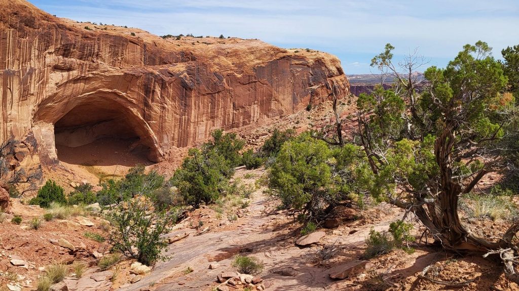
From the signed lot along Upheaval Dome Road, follow sandy singletrack through sagebrush and juniper to a junction. Left leads to a smaller butte, where the path drops below the rim to well-preserved stone granaries tucked into alcoves. Right climbs Aztec Butte itself for sweeping views over Taylor Canyon and the maze of canyons carved by the Colorado River. Both spurs involve climbing slickrock and negotiating ledges; you’ll likely use hands for balance, and careful downclimbing on the return is smart.
Overall: moderate. The approach is easy; the butte ascents are short, steep, and on grippy but exposed sandstone. If you dislike heights or have balance issues, the summit spur may feel sketchy. Not wheelchair-accessible. No pets on this trail. Some families report kids handle it fine with close supervision, but plan extra time for the scrambles.
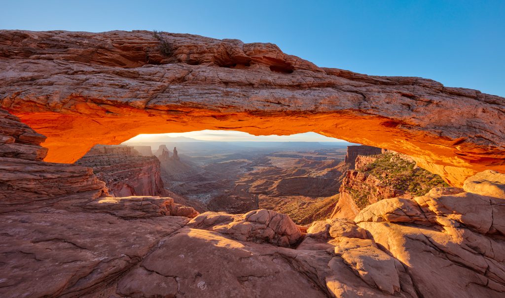
Open and worthwhile year-round. Spring and fall bring the friendliest temps. Summer is full sun and can be brutally hot—go early or late and bring more water than you think you need. Winter conditions can leave icy patches on slickrock; traction can help. It’s usually less busy than marquee stops like Mesa Arch, making it a good add-on during peak hours.
Signed trailhead lot on Upheaval Dome Road; small but usually not crowded compared to major viewpoints.
Steep slickrock scrambles with some exposure; careful downclimbing required. Summer heat and full sun; carry ample water. In winter, icy slickrock possible. Do not touch or enter archaeological sites.
Place · 0.5 mi away
Place · 0.8 mi away
Place · 0.8 mi away
Place · 1 mi away
Easy · 0.8 mi away
Challenging · 1.2 mi away
Challenging · 2.5 mi away
Easy · 2.5 mi away

Parkwolf Tour Guide
