Parking
Use the marked Wilhite Trailhead on the left about 2.1 miles up Upheaval Dome Road. Parking capacity and facilities at the trailhead were not documented.
Canyonlands National Park, UT
Strenuous 11.4-mile out-and-back to White Rim Road through Holeman Basin.
Overview
Map & elevation
Plan your hike

The highest, rockiest slopes around here are a summer buffet for grizzly bears.
Canyonlands Tour Guide
Parkwolf is a GPS audio tour guide for Canyonlands National Park. As you drive, it chimes in with what’s ahead: hidden gems, upcoming stops, history, geology, and wildlife, right through your car’s speakers.
See the Canyonlands audio tourRecorded for this trailhead
Wilhite Trailhead“Wilhite Trailhead is ahead, for a strenuous day down in Holeman Basin. The eleven-point-four-mile round trip to White Rim Road takes six to eight hours, with a sixteen-hundred-foot climb back out.”
Plays as you drive up to this trailhead in the Parkwolf Canyonlands Tour Guide.
More stories near here in the app
“Fantastic app with many points of information… It’s great to just turn on while you’re driving and it gives you an audio tour of the national Park. We love it!!!!”


Trail guide
Wilhite is an 11.4-mile out-and-back from the Island in the Sky mesa to White Rim Road and back the same way. Allow 6–8 hours. The descent loses about 1,600 feet, then you climb it back; this is a serious day hike, not a quick viewpoint walk.
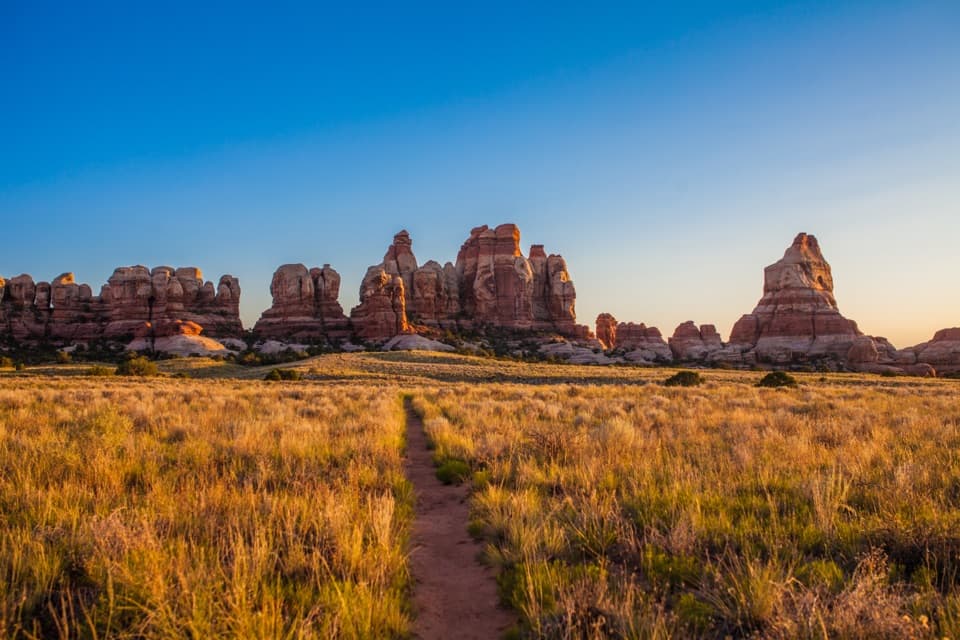
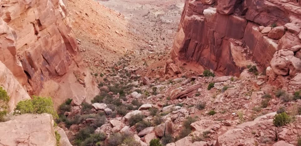
The trail starts off Upheaval Dome Road, crosses a wash and rolls across the mesa before west-facing views open toward Candlestick Tower. Cairns mark the route. At the rim above Holeman Basin, the path drops steeply on switchbacks through loose talus and uneven stone; expect careful footing, and a few spots may call for your hands.
Below the chute, a bench follows the cliff base, then the trail crosses a small hogback into a sandy wash. The last couple of miles stay in the wash, which varies from narrow walls to wider sandy banks. On the return, keep an eye on the cairns where side channels can make the correct wash less obvious.
The named Wilhite route ends at White Rim Road. A short slot canyon just across the road continues toward the Green River but stops at a spillover; treat it as an optional extra, outside the mapped 11.4-mile round trip, rather than a through-route.
Use the marked Wilhite Trailhead on the left after about 2.1 miles up Upheaval Dome Road. There is no shade or potable water on the trail; bring at least 1 liter per person per hour, plus sturdy footwear, snacks, a map and a headlamp. The rough, rocky steps are not wheelchair accessible, and winter can bring snow or ice. Dogs are not allowed. The lower wash is a flash-flood route, so stay out when flooding threatens.
Wildlife
 48 sightingsBighorn SheepMost seen around 7 AMSighting map
 47 sightingsMule DeerMost seen around 7 AMSighting map
 12 sightingsCoyoteMost seen around 7 PMSighting map
 30 sightingsWestern RattlesnakeMost seen around 7 PMSighting map
 18 sightingsTurkey VultureMost seen around 11 AMSighting map
 18 sightingsWild TurkeyMost seen around 7 AMSighting map
Sighting maps show where each species has been reported across Canyonlands. Wildlife moves, so no sighting is guaranteed.
Keep exploring
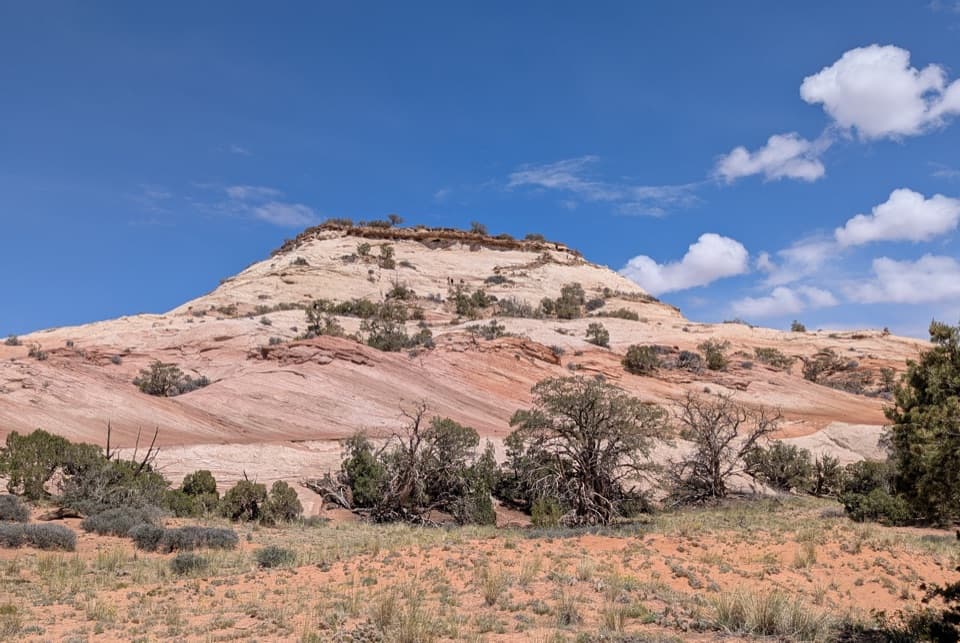 ModerateAztec Butte Trail1.4 mi · 1.8 hr · 1.1 mi awayTwo slickrock scrambles: one for canyon views, one for granaries.
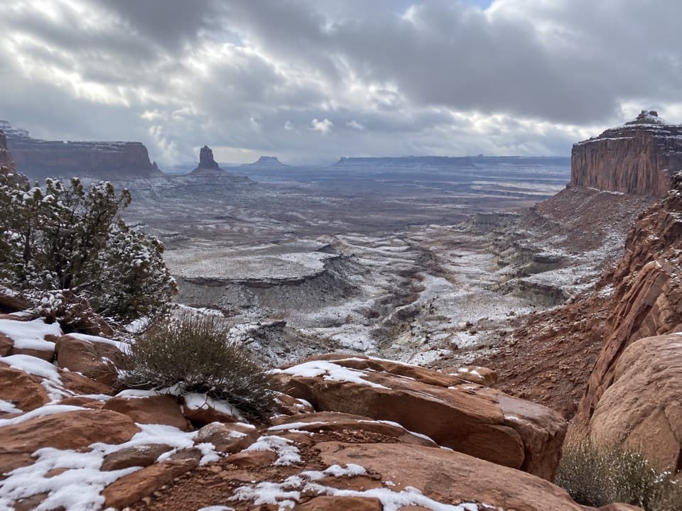 ModerateFalse Kiva Trail1.9 mi · 1.8 hr · 1.5 mi awayA rough, cairned descent to wide views over Holeman Canyon.
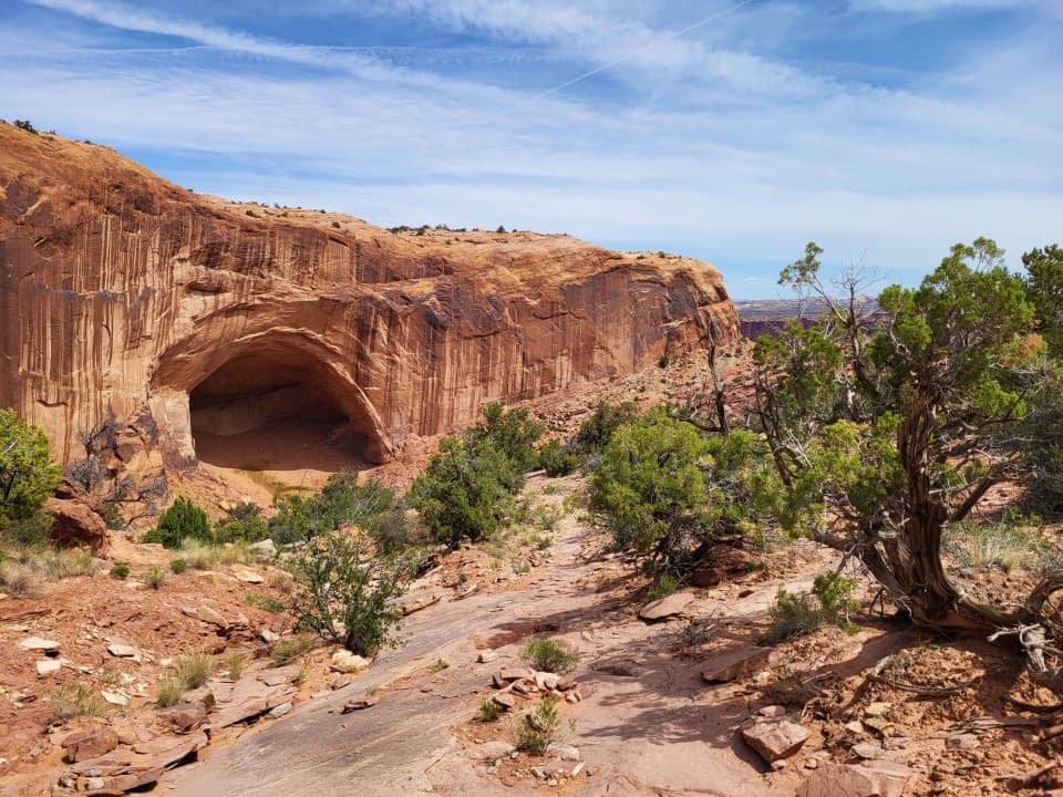 ChallengingAlcove Spring Trail11.2 mi · 6.5 hr · 1.5 mi awayFull-day canyon descent to Alcove Spring and Moses and Zeus towers.
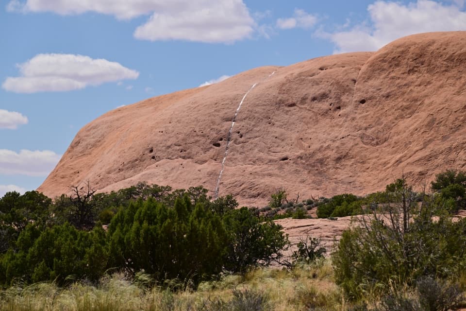 ModerateWhale Rock Trail0.8 mi · 1 hr · 1.8 mi awayA short slickrock scramble to broad Island in the Sky views.
 EasyMesa Arch Trail0.6 mi · 36 min · 1.9 mi awayShort loop, cliff-edge arch, canyon views framed by the La Sal Mountains.
 ModerateUpheaval Dome Overlooks Trail1.2 mi · 1.5 hr · 2.2 mi awayA short, steep climb to colorful folded rock and canyon views.
 ChallengingUpheaval Crater Trail9.2 mi · 7.5 hr · 2.2 mi awayA strenuous 9.2-mile out-and-back into Upheaval Dome's crater floor.
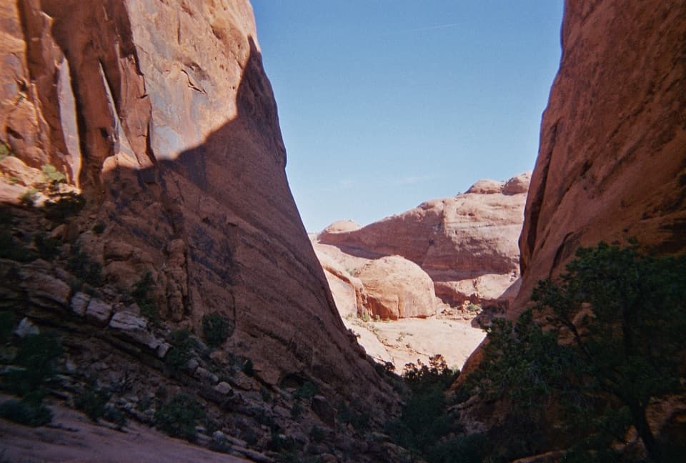 ChallengingSyncline Loop Trail8.1 mi · 6 hr · 2.2 mi awayA demanding loop of steep descents, sand and boulder scrambles.
 Sight · 1.1 mi awayAztec Butte GranariesTwo 900-year-old granaries tucked beneath a protective rock overhang.
 Campground · 1.5 mi awayWillow Flat CampgroundA quiet, no-frills base near Green River Overlook and dark skies.
 Sight · 1.8 mi awayGreen River OverlookSee the Green River as a thin line 1,300 feet below.Sight · 2 mi awayWhale RockWhale-shaped slickrock, a short scramble, and a wide-open top.
 Sight · 2.1 mi awayMesa ArchFamous for sunrise glow; the canyon view is worth a later stop.
 Sight · 2.5 mi awayUpheaval DomeA three-mile-wide geologic mystery, seen from two steep overlooks.
 Scenic pullout · 2.5 mi awayCandlestick Tower OverlookA quick roadside look at Candlestick Tower and the canyon below.
 Sight · 4.3 mi awayMurphy PointA long mesa walk pays off with a wide Green River panorama.
Parkwolf’s Canyonlands ranking

The audio tour guide for the drive, plus offline maps, trails, and wildlife heatmaps for when the signal drops.