
Place · 0.5 mi away
Challenging
If you want Canyonlands at its most raw, this is it. The Red Lake Canyon Trail (often called the Lower Red Lake Canyon route) runs roughly 19 miles round‑trip from Elephant Hill to a sandy bank on the Colorado River opposite Spanish Bottom. It’s a long, exposed out‑and‑back with about 1,400 feet of loss to the river—and the same climb back—best reserved for strong, self‑sufficient hikers. Most people split it into two days and camp near the river; a single‑day push is a sufferfest for the motivated only.
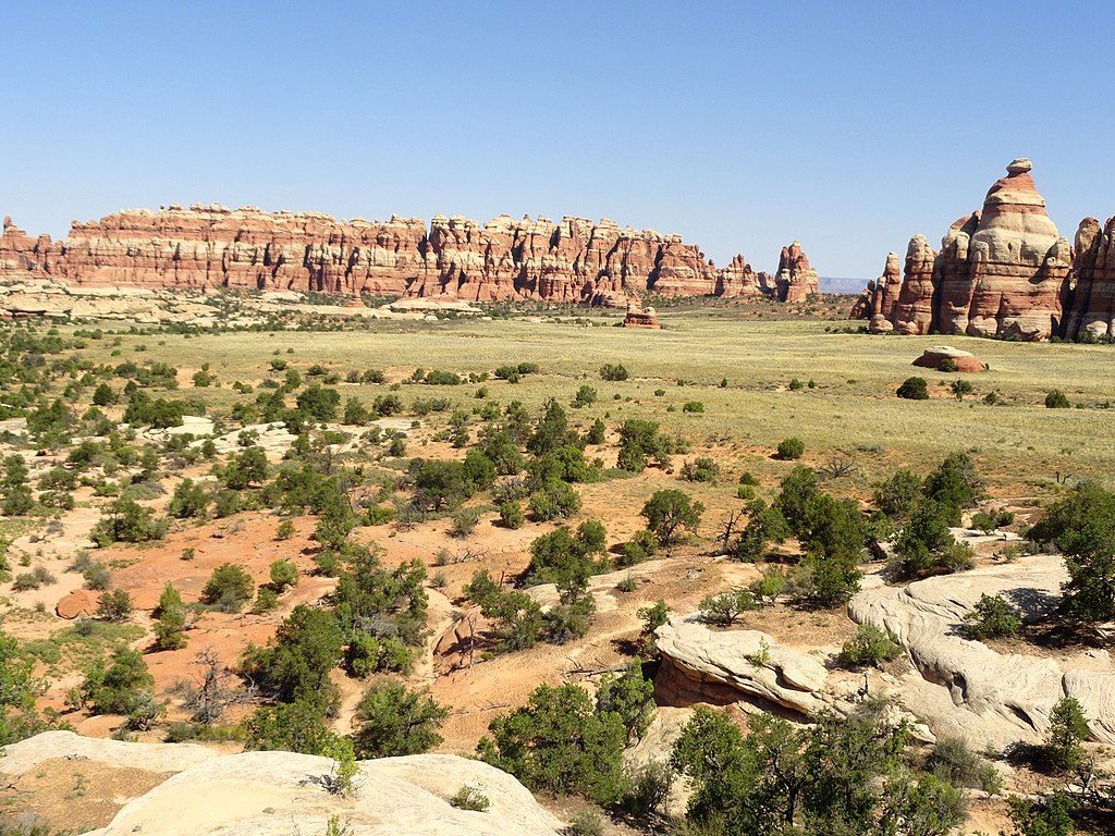
From the Elephant Hill Trailhead, the first ~3.5 miles follow the Elephant Hill 4WD road before the route slides into classic Needles country: straight, flat‑floored fault valleys called the Grabens, then the upper reaches of Red Lake Canyon. The final approach follows the canyon downstream, dropping steeply—about 700 feet in a half‑mile—before easing onto the river’s sandy flats. Underfoot you’ll get a sampler of Needles surfaces: slickrock benches, sandy washes, rocky drainages, and primitive tread. Cairns mark much of the way, but expect sparse signage and big, open desert navigation.
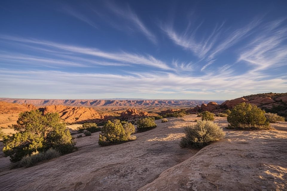
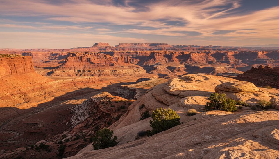
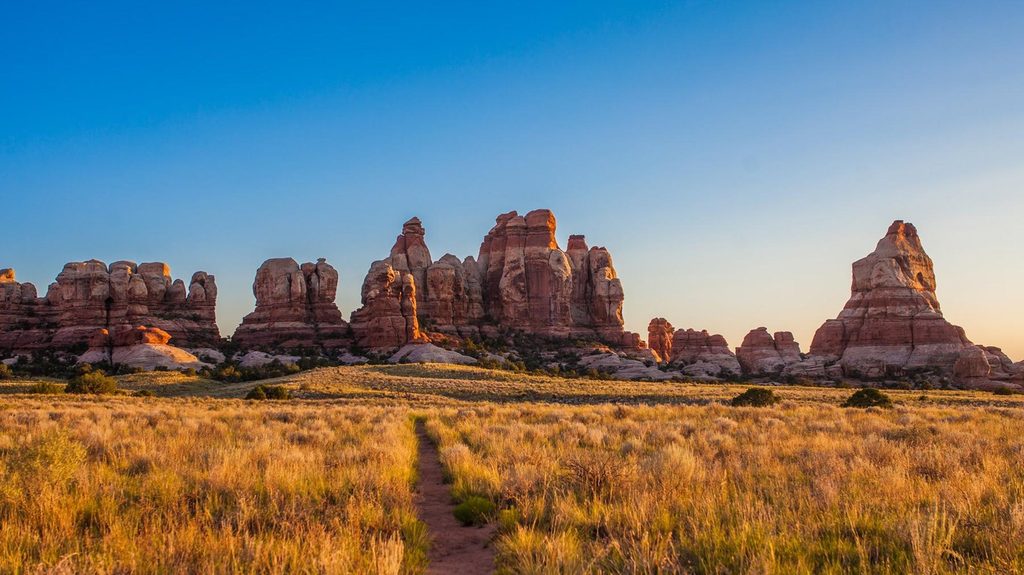
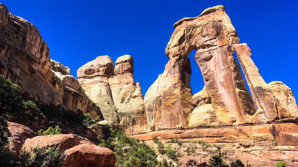
This hike is a geology field trip in motion. You’ll stride across the parallel Grabens, with big‑sky views back toward the Needles formations, then descend an exposed, treeless gorge to the Colorado. Near the river, pale gypsum hills appear—a rare window into the Paradox Formation—contrasting sharply with the red sandstones above. At the end, dense tamarisk crowds the banks, so river access and views are limited despite the dramatic setting just downstream of the Green–Colorado confluence.
Fall, winter, and spring are the seasons for this route. Summer heat and full‑sun exposure make it punishing and potentially dangerous. Start at dawn to bank cool miles on both the descent and the climb out; afternoon light warms the canyon walls on the return but also cranks up the heat. Weekdays see very little traffic—solitude is the norm year‑round.
For experienced desert hikers who want big‑mile solitude, unique geology, and a hard‑earned touch of the Colorado River, this trail delivers. If you’re looking for easy river access, shade, or a casual outing, pick something shorter.
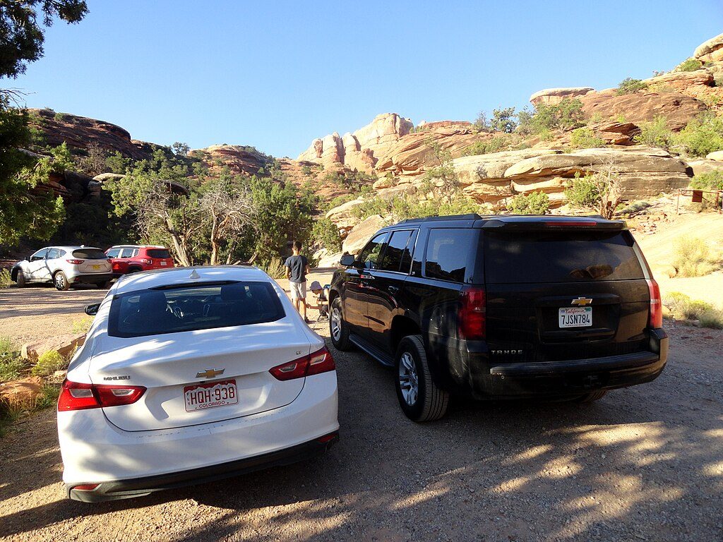
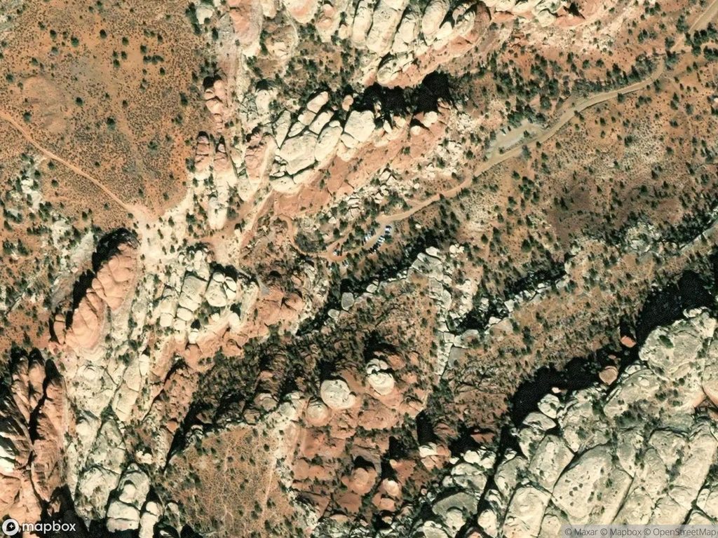
Park at the Elephant Hill Trailhead in the Needles. Some parties with high‑clearance 4WD legally shorten the hike by driving part of the Elephant Hill road, but it’s rough and tightly regulated.
No reliable water en route; full sun exposure; a steep 700‑ft descent (and re‑ascent) near the river; sparse signage and remote terrain make self‑reliance and solid navigation essential. Overnight camping requires a backcountry permit.
Place · 0.5 mi away
Place · 1.5 mi away
Place · 2.3 mi away
Place · 2.5 mi away
Challenging · 0 mi away
Challenging · 0 mi away
Moderate · 0 mi away
Challenging · 0 mi away

Parkwolf Tour Guide
