Le Buttereau

Short historic loop with quick Gulf views and Acadian ruins
Le Buttereau, Cape Breton Highlands National Park
InsideCape Breton Highlands National Park

Overview

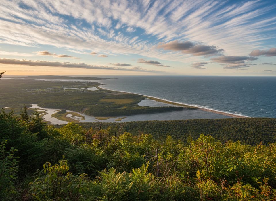
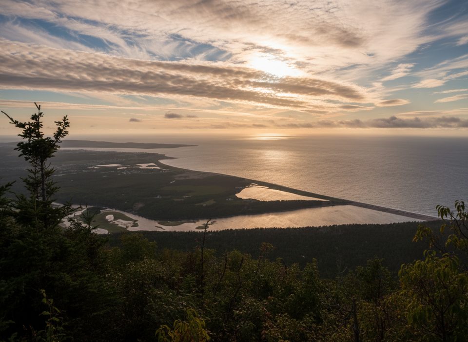
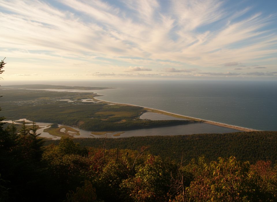
A perfect warm‑up stop, Le Buttereau is a short interpretive loop that climbs quickly to a look‑off over the Gulf of St. Lawrence and the Chéticamp River, then wanders through meadows and mixed Acadian forest dotted with old foundations. It’s easy, family‑friendly, and far more about stories and setting than summit bragging rights.

What You’ll See

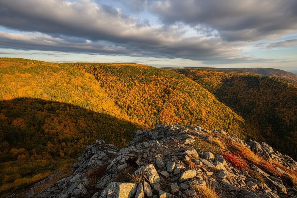
  • A quick look‑off near the start for the best ocean and river views.
  • Open fields, spruce and hardwoods, benches for breaks, and well‑placed interpretive plaques.
  • Stone foundations from a small Acadian hillside settlement.

Route Options

  • Le Buttereau Loop: ~1.6 km (1 mi), about 30–45 minutes, ~67 m (219 ft) of gain. Expect a short, steep start, then mellow walking through forest and old fields.
  • Le Chemin du Buttereau: ~6.8 km (4.2 mi) out‑and‑back, ~152 m (498 ft) of gain. This historic cart path adds time, steeper sections, and broader views; it can be muddy after rain.

History

You’re walking through former pastures tilled by Acadian families. Foundations remain, and the signs along the way sketch out daily life and the small community that once stood here. The longer cart path linked those homesteads to Chéticamp.

Wildlife

The regenerating pastures—now a mix of shrubs, wildflowers, and young trees—are good for songbirds and small mammals. Go early or near dusk for the most activity, and keep an ear out in the hedgerows as you pass the old fields.

Why the Landscape Looks Like This

This western edge of the Cape Breton Plateau is part of the worn‑down Appalachians. Rivers like the Chéticamp carve steep valleys to the Gulf, and repeated glaciations sculpted today’s canyons, tills, and rounded uplands.

Logistics

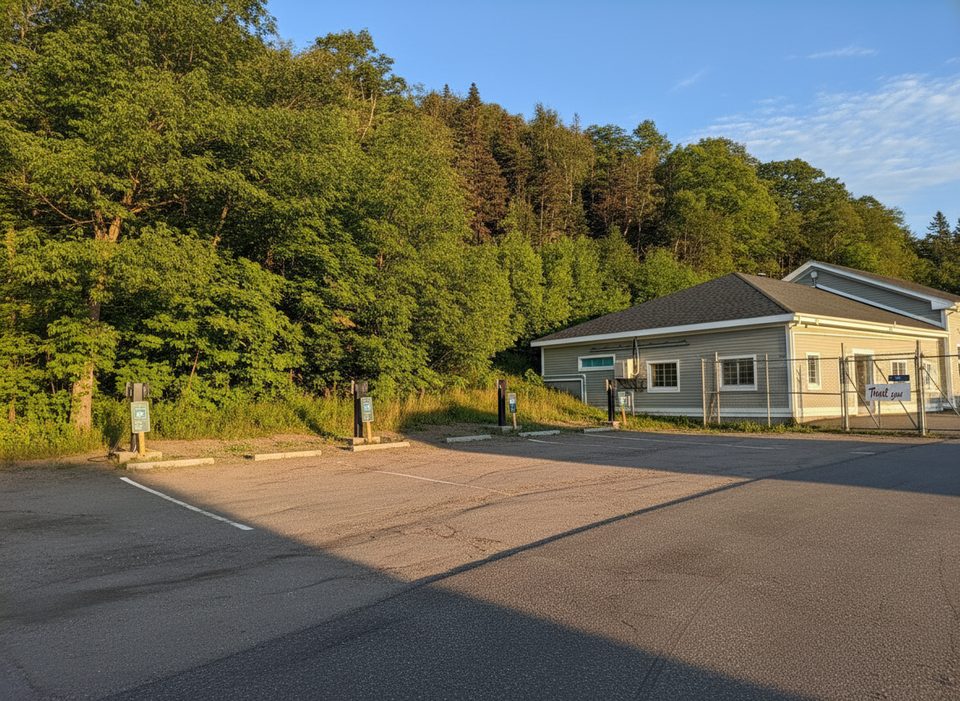
  • Trailhead is on the Cabot Trail across from the Grande Falaise picnic area.
  • Parking is modest and can fill on busy days; plan a backup stop.
  • No toilets at the trailhead. Dogs are allowed on leash. Plan 30–60 minutes for the loop, longer if adding the cart path.

Best Time to Visit

Mornings are reliably quiet and give soft, side‑light on the look‑off. Late‑day light and even sunset work nicely from the trailhead area. The park is open year‑round; this loop also works as a short snowshoe in winter. Full visitor services typically run mid‑May to mid‑October.

Pros

  • Short, easy loop with quick views of the Gulf and Chéticamp River
  • Interpretive signs and homestead foundations tell a vivid Acadian story
  • Option to extend via the historic Le Chemin du Buttereau

Cons

  • Best vistas are near the start; the loop is more about history than big views
  • Small lot and no toilets at the trailhead

Tips

  • Hike the loop clockwise and linger at the initial look‑off for the best views.
  • After rain, expect a short steep start and muddy patches—wear sturdy shoes.
  • Want more mileage and scenery? Add part of Le Chemin du Buttereau.
  • A park pass is required; sort it in Chéticamp or Ingonish before you arrive.
  • Pack insect repellent in summer for black flies and mosquitoes.
The Parkwolf tour guide sitting on a phone mounted in a car

Parkwolf Tour Guide

Like a tour guide in your car.

Save the places you found around Cape Breton Highlands, then let Parkwolf guide the drive between them.Download Parkwolf on the App Store