
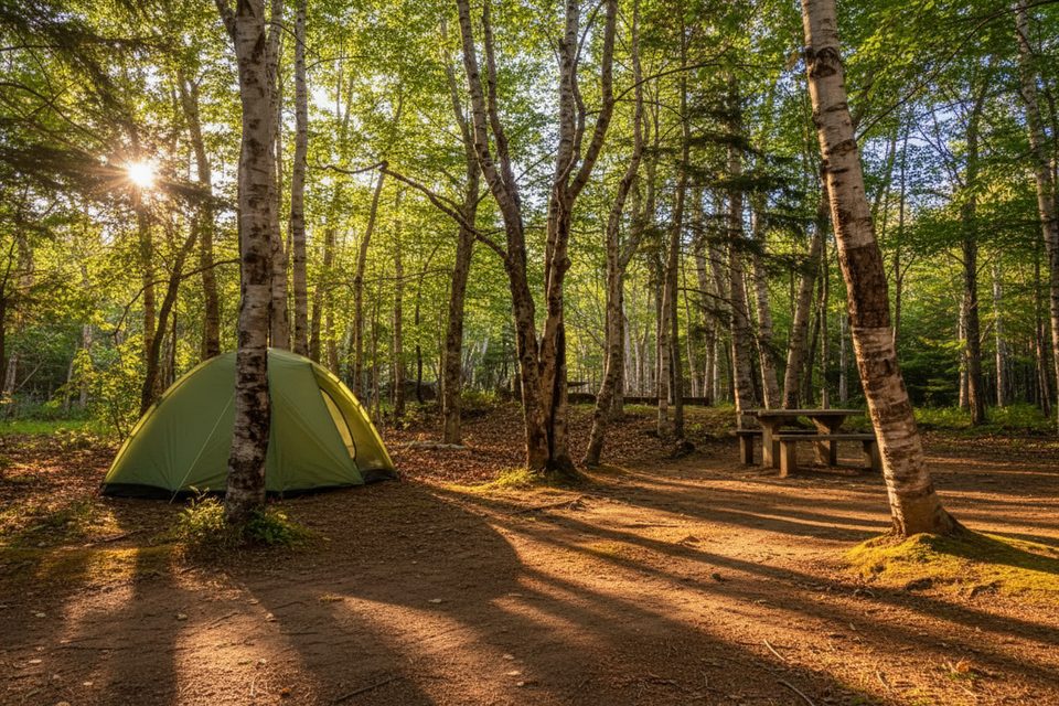
Place · 0.4 mi away
Easy
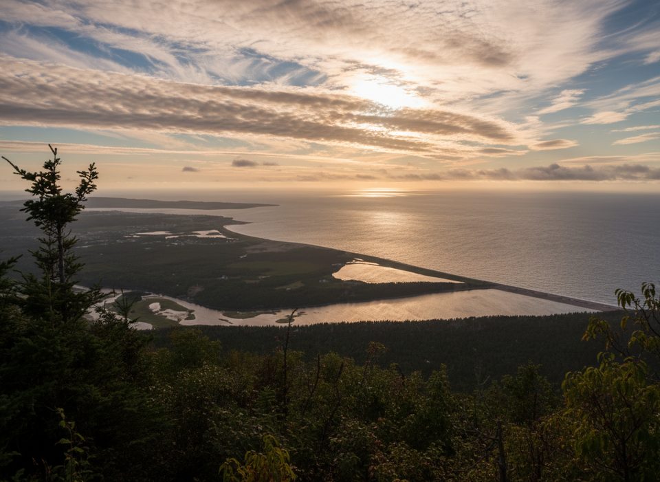
A gentle 1.0‑mile (1.6 km) loop with a big storytelling heart, Le Buttereau explores mixed Acadian forest and old fields dotted with the foundations of former homesteads. Expect 30–45 minutes of easy walking with short climbs and an elevation range of roughly 35–180 feet (10–55 m). Views open toward the Chéticamp River and the Gulf of St. Lawrence, though water views are more peekaboo than panoramic.
Interpretive plaques bring the Acadian families who once farmed these pastures to life. Wildflowers and shrubs have reclaimed the fields, making good habitat for birds and small mammals. It’s a pleasant, shaded wander with a quick payoff lookoff near the start before the trail settles into forest and meadow edges.
The loop is rated easy, but the initial climb can feel surprisingly steep for such a short trail. After that, the grade eases and the footing is straightforward. If you want more mileage, you can connect to Le Chemin du Buttereau, an additional 2.9 miles (4.6 km) out-and-back that typically takes about 1.5 hours and follows an old Acadian cart path.
Yes—especially if you enjoy history with your stroll. Just set expectations: this isn’t a big-view coastal hike, and ocean glimpses are limited. It shines as a quick, low-effort outing with meaningful cultural context.
Spring through fall is lovely; summer brings more greenery (and bugs), while shoulder seasons are quieter. Early or late in the day offers softer light for the lookoff and fewer people. In winter, the route can double as a mellow snowshoe.
Trailhead is on the Cabot Trail, directly opposite the Grande Falaise picnic area. A park pass is required. Pets are welcome on leash. Weather can change fast along the coast—carry a layer and water, and expect insects in summer. Drones are not permitted, and staying on signed paths protects both the sites and the surrounding habitat.
Trailhead on the Cabot Trail opposite the Grande Falaise picnic area; park at the pullout there.
Short, steep start; coastal weather shifts quickly; summer insects can be intense—bring repellent; drones are not permitted.
Place · 0.4 mi away

Place · 0.6 mi away
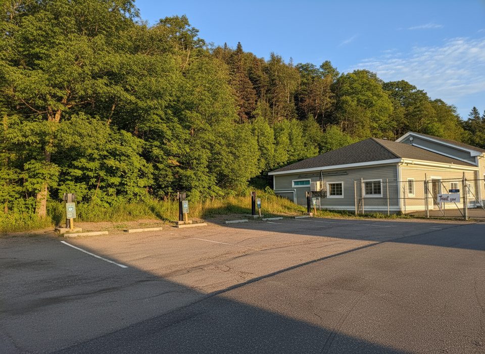
Place · 0.6 mi away
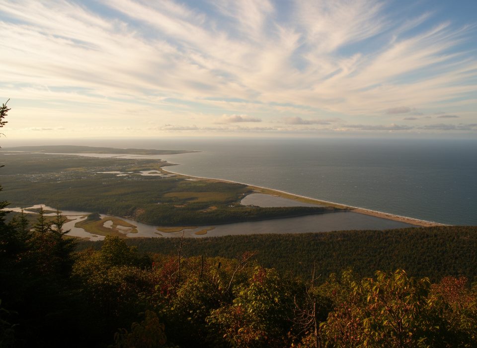
Place · 1.5 mi away

Moderate · 0.6 mi away
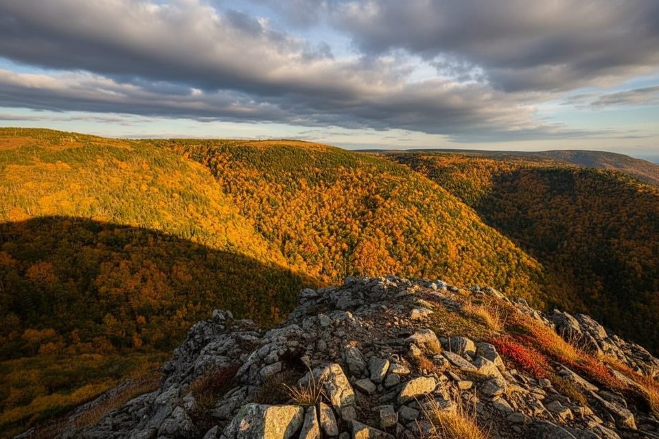
Challenging · 4.1 mi away
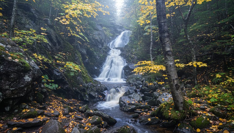
Easy · 5 mi away
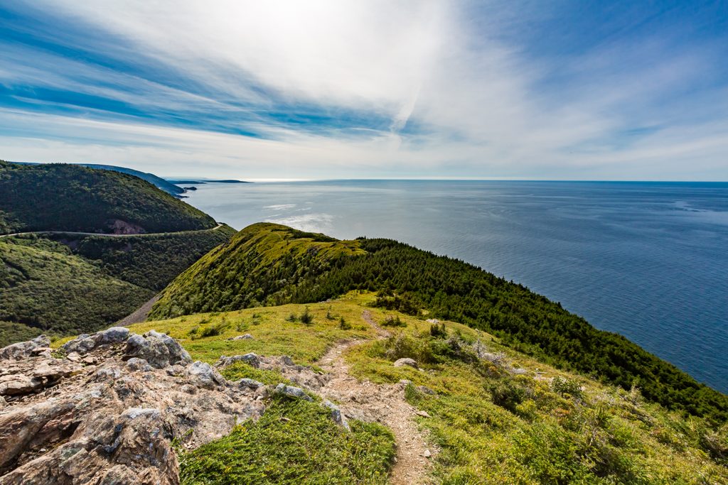
Easy · 6.9 mi away

Parkwolf Tour Guide
