Parking
Use the Le Buttereau parking area beside the Cabot Trail trailhead, opposite Grande Falaise picnic area; lot capacity was not confirmed.

Cape Breton Highlands National Park, NS
A short hill loop through Acadian fields, with Gulf views.
Overview
Map & elevation
Plan your hike

The highest, rockiest slopes around here are a summer buffet for grizzly bears.
Cape Breton Highlands Tour Guide
Parkwolf is a GPS audio tour guide for Cape Breton Highlands National Park. As you drive, it chimes in with what’s ahead: hidden gems, upcoming stops, history, geology, and wildlife, right through your car’s speakers.
See the Cape Breton Highlands audio tourRecorded for this trailhead
Les Falaises and Le Buttereau“Les Falaises picnic area is coming up, beneath the bare rock face of La Grande Falaise, the Great Cliff. Stop for a close look up at the cliff without committing to a hike.”
Plays as you drive up to this trailhead in the Parkwolf Cape Breton Highlands Tour Guide.
More stories near here in the app
“Fantastic app with many points of information… It’s great to just turn on while you’re driving and it gives you an audio tour of the national Park. We love it!!!!”


Trail guide
Le Buttereau Trail is an easy 1.6 km (1 mi) interpretive loop at Grande Falaise, usually a 30–45 minute walk. It climbs a small hill through mixed Acadian forest and old fields, then looks out over the Chéticamp River and Gulf of St. Lawrence. Pick it for a compact walk with a bit of local history; expect a few short climbs. Some walkers find the first rise more noticeable than the easy rating suggests.
Acadian pioneers once tilled these fields. Wildflowers, trees and shrubs have since grown back, and plaques mark former homesteads among the foundation ruins. Buttereau means a small hill, which is exactly the scale of this walk. It is the one-mile interpretive loop at Grande Falaise; Le Chemin du Buttereau is a separate 4.6 km return route with a different access point.
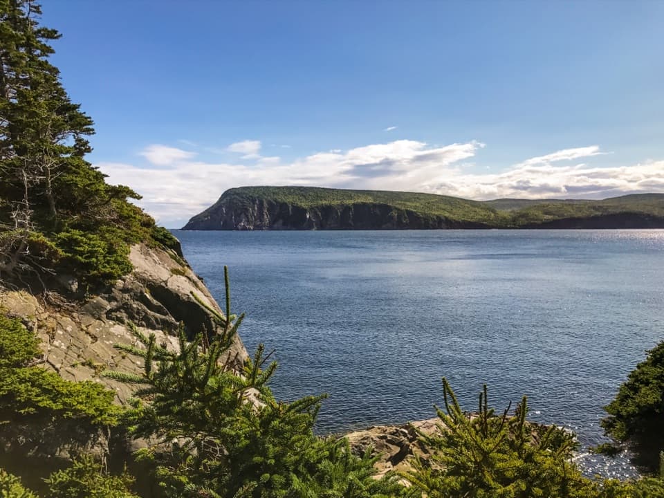
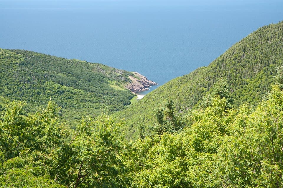
The hill overlooks the Chéticamp River and the Gulf. The sandy river mouth is a distinctive part of the view: include a little of the brush or old field at the edge of the frame so the water reads as river meeting ocean, not just open sea.
The trailhead is on the Cabot Trail opposite Grande Falaise picnic area, with a mapped parking area beside it. Bring drinking water; a source at the trailhead was not confirmed. Park admission applies, and pets must stay leashed. The trail is not maintained outside the main visitor season, so check footing and access before an off-season visit.
Wildlife
 180 sightingsMooseMost seen around 5 AMSighting map
 60 sightingsBlack BearMost seen around 6 PMSighting map
 48 sightingsBald EagleMost seen around 8 AMSighting map
 29 sightingsGrey SealMost seen around 7 AMSighting map
 14 sightingsCoyoteMost seen around 8 PMSighting map
 10 sightingsWhite-tailed DeerMost seen around 6 AMSighting map
Sighting maps show where each species has been reported across Cape Breton Highlands. Wildlife moves, so no sighting is guaranteed.
Keep exploring
 EasyLe Chemin du Buttereau4.7 km · 1.5 hr · 2.4 km awayEasy historic cart path past Acadian homestead traces.
 ModerateAcadian9.1 km · 3.8 hr · 3.3 km awayA forest climb to broad views over Chéticamp and the Gulf.
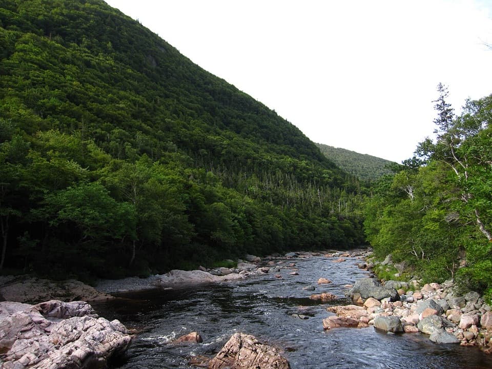 ModerateSalmon Pools9.5 km · 3.5 hr · 3.8 km awayMostly level walking to salmon pools beneath high canyon cliffs.
 EasyLe vieux chemin du Cap-Rouge9 km · 3 hr · 4.7 km awayOld road, Acadian history, and a Gulf look-off at the end.
 EasyCorney Brook Trail6.4 km · 2 hr · 6 km awayA shaded hardwood canyon follows the brook to a small waterfall.
 EasySkyline Trail8.2 km · 2.8 hr · 9.5 km awayFrom the boardwalk, the Cabot Trail looks toy-sized.
 EasyBog Trail0.5 km · 15 min · 12.3 km awayA short, wheelchair-accessible boardwalk through a highland bog.
 EasyBenjie's Lake Trail3.1 km · 1.3 hr · 13.1 km awayA quiet lake and wooden landing cap this level highland walk.
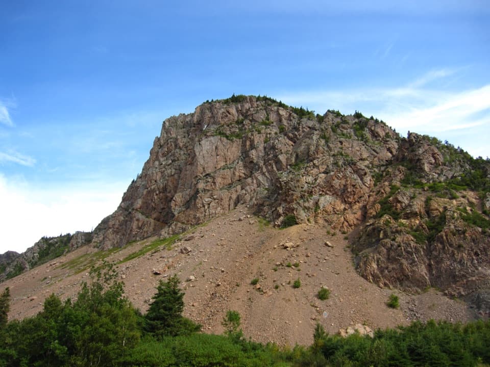 Picnic area · 0.4 km awayLes FalaisesPull in for a quick look up at La Grande Falaise.
 Campground · 2.7 km awayChéticamp CampgroundCamp beside the river with four park trails close by.
 Beach · 3.1 km awayLa Bloc BeachA pebbly Gulf beach with old wharf remains and Acadian history.
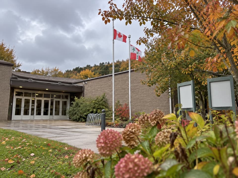 Visitor center · 3.4 km awayChéticamp Visitor CentreStart your Cabot Trail drive with park advice and an interactive overview.
 Restaurant · 4.1 km awayLast Chance SandwichA deli-café, picnic bundles, and an oversized pickle mascot.
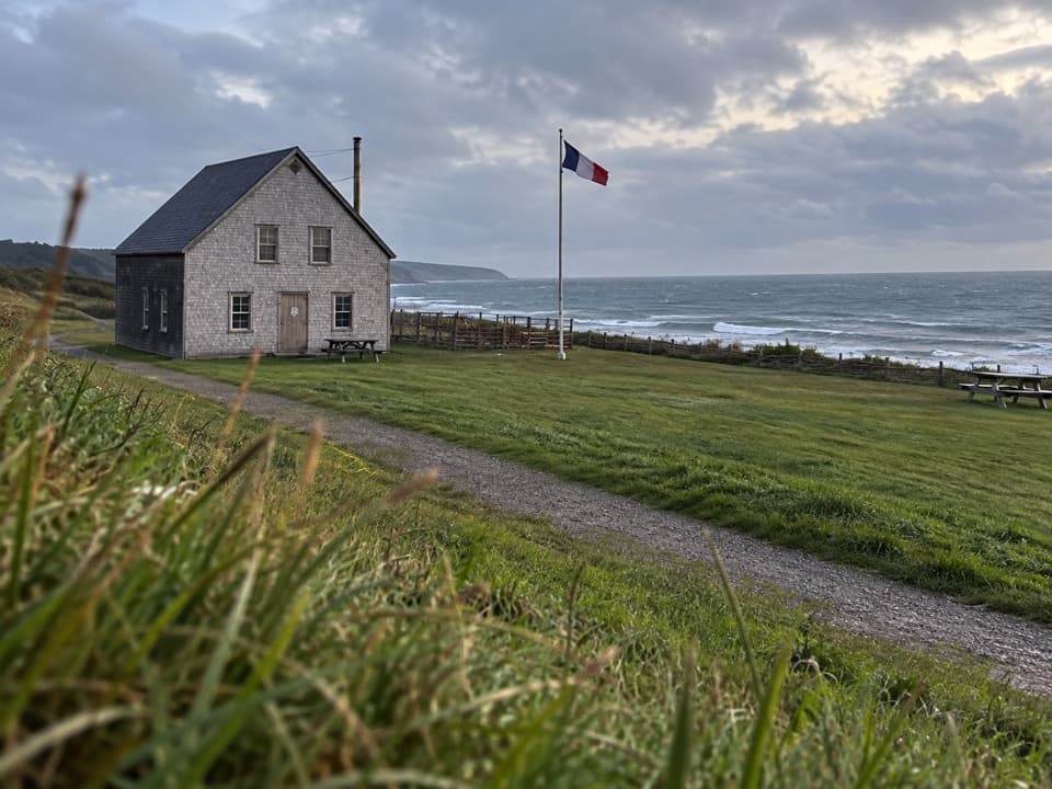 Campground · 4.7 km awayMkwesaqtuk/Cap-Rouge CampgroundA Gulf-side camp with cliff views and a cobblestone beach.
 Campground · 6.1 km awayCorney Brook CampgroundA simple oceanside camp with surf audible from some sites.
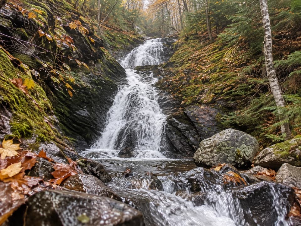 Sight · 7 km awayCorney Brook FallsA 9 m waterfall rewards a quiet walk beside the brook.
Parkwolf’s Cape Breton Highlands ranking

The audio tour guide for the drive, plus offline maps, trails, and wildlife heatmaps for when the signal drops.