

Place · 0.1 mi away
Moderate
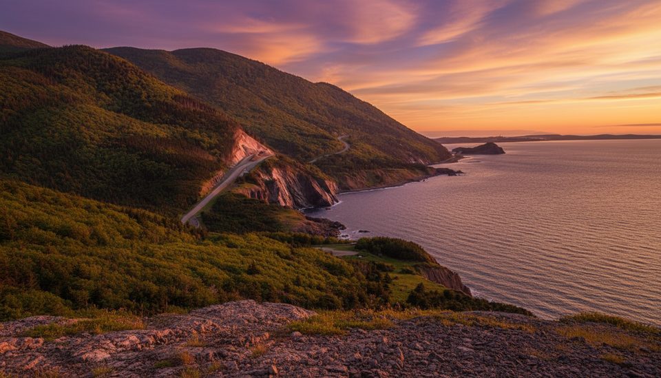
This is a rewarding 8.4 km/5.2 mi loop with real variety: big ocean vistas over the Gulf of St. Lawrence, sweeping looks into the Chéticamp River valley, and a quieter forested descent along a brook with cascades. Expect 3–4 hours on trail and a stout climb from roughly 20 m up to about 365 m, with total elevation gain in the ~365–420 m range. It’s rated moderate, but the grades are sustained and the footing gets rugged in places.
Most hikers prefer going counterclockwise: you’ll tackle the steeper, sustained climb first through Acadian forest, earn the coastal lookoffs and benches along the ridge, then enjoy a longer, gentler descent beside the brook. Clockwise is perfectly doable—just know it front‑loads the steeper grades later in the day when legs are tired.
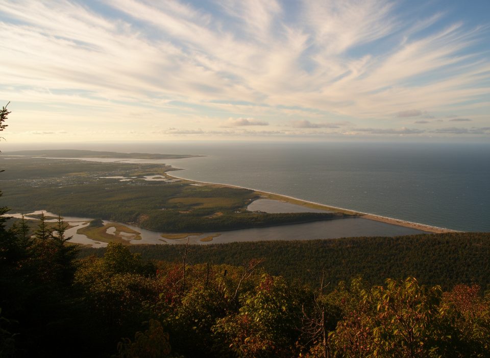
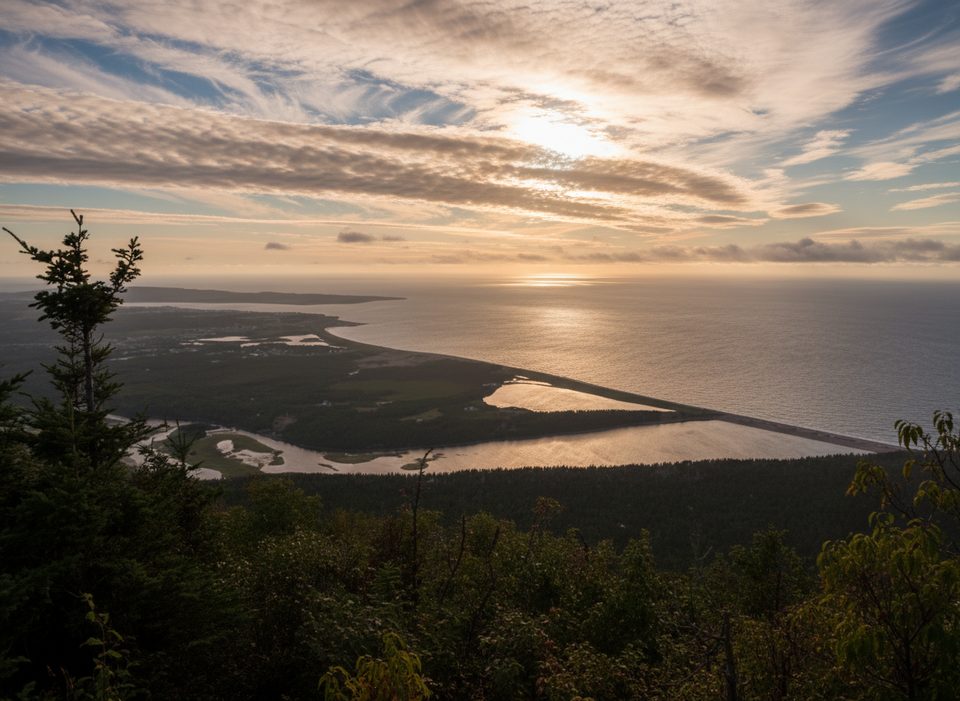
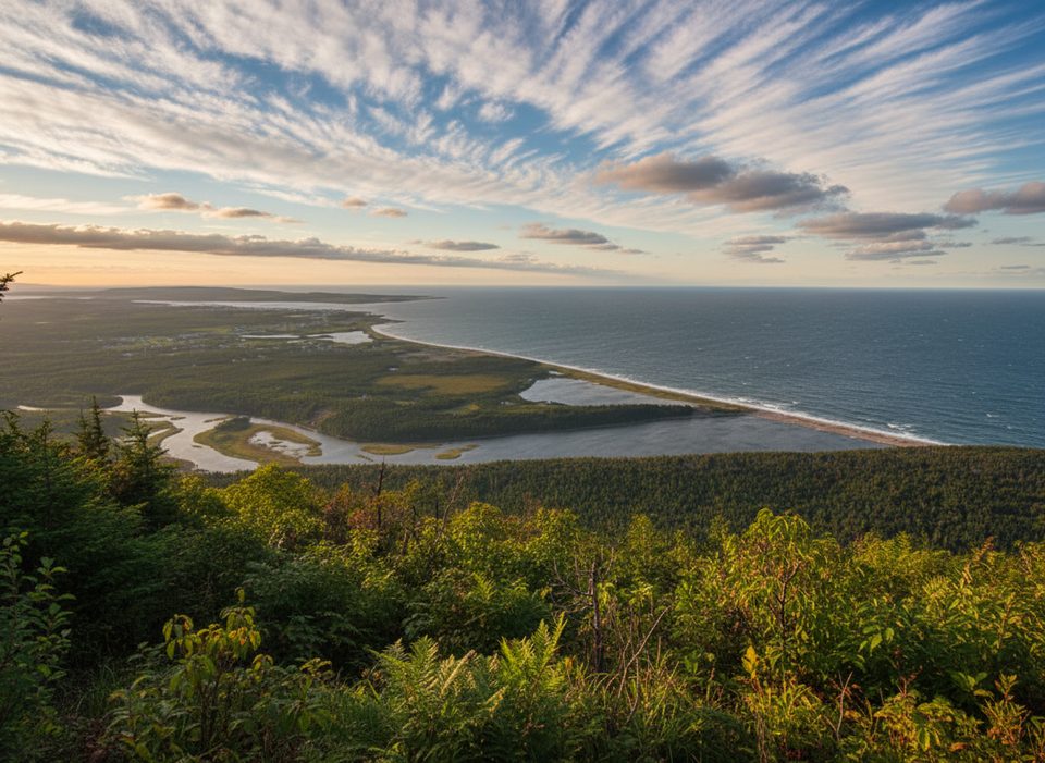
From the ridge, look for Chéticamp, Chéticamp Island, and the coastline stretching along the Gulf. The forest shifts as you climb, and on the way down you’ll follow a valley with a lively stream and several easy crossings, plus small cascades that make great pause points. Wildlife does roam here—moose and black bears are possible—so keep your distance and give animals the right‑of‑way.
The loop is well signed, with map panels and benches at key viewpoints, but expect short steep pitches, rocky stretches, and a handful of stream crossings. Cell service is often limited to none on the trail, so plan accordingly and carry your own water—there are no reliable potable sources.
Trailheads sit directly opposite the Chéticamp Visitor Centre at the park entrance; parking is at the Visitor Centre lot. A valid park pass is required. There’s a signed outhouse near the early part of the trail. Two signed trailheads serve the same loop; either direction works.
Weather can flip quickly on this coastline—windy lookoffs, mist, or fog are common—so bring layers and a light shell. Start early for cooler temps, fewer people, and easier parking. Visitor services typically run mid‑May to mid‑October, but the pass requirement is year‑round.
If you want a boardwalk‑style cliff panorama with less elevation, the Skyline Trail is the park’s showstopper. If you crave another big climb with sweeping views on the park’s east side, the Franey Trail is a strong alternative. The Acadian Trail sits nicely between them: a classic loop with both ridge vistas and a calming brook valley in one package.
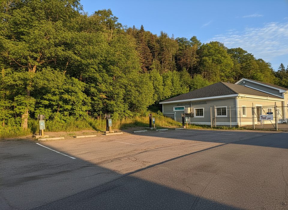
Park at the Chéticamp Visitor Centre lot; the signed trailheads are directly across the road. A valid park pass is required.
Rugged footing with steep sections and several stream crossings; wind and fog can reduce visibility on the ridge; limited or no cell service; give wildlife wide berth.
Place · 0.1 mi away
Place · 0.1 mi away
Place · 0.3 mi away
Place · 2.1 mi away
Easy · 0.6 mi away
Easy · 2.1 mi away
Challenging · 4.7 mi away
Easy · 5.6 mi away

Parkwolf Tour Guide
