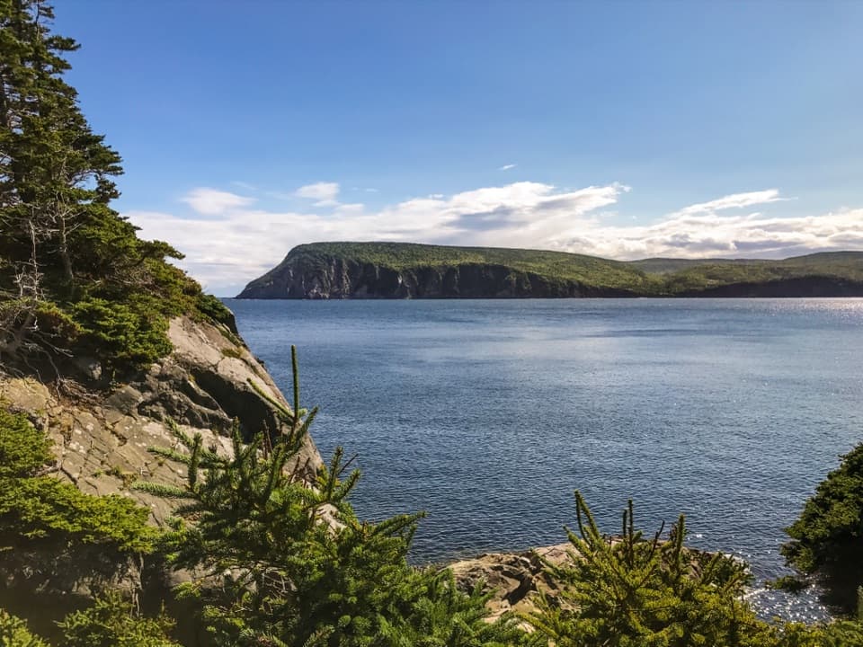
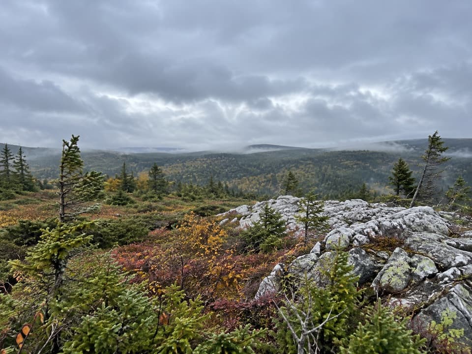
Parking
The trailhead is across the Cabot Trail from Corney Brook Campground. Visitor reports describe limited parking near the start; do not count on overflow space.

#7 of 27 trails in Cape Breton Highlands
Cape Breton Highlands National Park, NS
A shaded hardwood canyon follows the brook to a small waterfall.
Overview
Map & elevation
Plan your hike

The highest, rockiest slopes around here are a summer buffet for grizzly bears.
Cape Breton Highlands Tour Guide
Parkwolf is a GPS audio tour guide for Cape Breton Highlands National Park. As you drive, it chimes in with what’s ahead: hidden gems, upcoming stops, history, geology, and wildlife, right through your car’s speakers.
See the Cape Breton Highlands audio tourRecorded for this trailhead
Corney Brook Trail and Falls“You're approaching the Corney Brook trailhead, across the Cabot Trail from the campground. Choose this for a shaded walk beside a winding brook, through a wooded canyon to a modest nine-metre waterfall.”
Plays as you drive up to this trailhead in the Parkwolf Cape Breton Highlands Tour Guide.
More stories near here in the app
“Fantastic app with many points of information… It’s great to just turn on while you’re driving and it gives you an audio tour of the national Park. We love it!!!!”


Trail guide
Corney Brook Trail is a 4-mile (6.5 km) out-and-back to a small waterfall, with the return included. The path follows Corney Brook through hardwood forest, reaches the falls, then retraces the same corridor. The park rates it easy and gives a two-hour itinerary. This is for a quiet forest walk with water at its center, not a quick roadside stop. Four miles is the commitment; leave enough time to enjoy the brook and walk back without rushing.
The trailhead is across the Cabot Trail from Corney Brook Campground. The path starts high above the stream and runs beside cliffs along the river edge, then gradually levels and meets the water. Stay on the tread through that first stretch; the edge is close enough to respect. After the trail settles beside the brook, the route is less about gaining a viewpoint and more about walking the bends of the water under trees. You come back the same way.
Corney Brook moves through a box river canyon under hardwood canopy. The trail follows its meanders rather than climbing to a summit, so the scenery stays close: water, rock and the wooded canyon walls. Local Acadians call the brook Rivière à Lazare, a useful second name to recognize when you are looking at maps. This Acadian forest and the brook—not a wide-open panorama—are the main draw, making the walk feel different from the park's exposed coastal routes.
A small waterfall marks the route's far end. You can view the falls from creek level or from a higher hillside vantage. The falls are modest rather than dramatic, so the payoff is the whole shaded brook walk as much as the final drop. For a photo, keep some dark rock and brook around the water; that shows the small cascade in its canyon setting. Turn around at the falls and return on the same trail.
Keep an eye out for birds, snowshoe hare and, occasionally, a moose; these are possibilities, not expected sightings. In fall the hardwood canopy adds color, but the timing shifts with the season. Don't plan around one exact week: a single year's leaf color is no forecast. The park's two-hour itinerary leaves room for small stops; if you pause beside the brook, remember that the return is another two miles.
The trail is on the west side of the Cabot Trail between Chéticamp and Pleasant Bay; the campground across the road is the best landmark for the start. Parking near the trailhead is reported as limited, so don't count on overflow space. The park requires admission. Expect natural footing, with cliffs beside the river near the beginning; visitors differ on how easy the route feels, though the official rating is easy. Leashed pets are allowed here, and the park requires them to stay on leash.
Wildlife
 180 sightingsMooseMost seen around 5 AMSighting map
 60 sightingsBlack BearMost seen around 6 PMSighting map
 48 sightingsBald EagleMost seen around 8 AMSighting map
 29 sightingsGrey SealMost seen around 7 AMSighting map
 14 sightingsCoyoteMost seen around 8 PMSighting map
 10 sightingsWhite-tailed DeerMost seen around 6 AMSighting map
Sighting maps show where each species has been reported across Cape Breton Highlands. Wildlife moves, so no sighting is guaranteed.
Keep exploring
 EasyLe vieux chemin du Cap-Rouge9 km · 3 hr · 1.4 km awayOld road, Acadian history, and a Gulf look-off at the end.
 EasySkyline Trail8.2 km · 2.8 hr · 3.9 km awayFrom the boardwalk, the Cabot Trail looks toy-sized.
 EasyLe Buttereau Trail1.6 km · 38 min · 6 km awayA short hill loop through Acadian fields, with Gulf views.
 EasyBog Trail0.5 km · 15 min · 7.6 km awayA short, wheelchair-accessible boardwalk through a highland bog.
 EasyLe Chemin du Buttereau4.7 km · 1.5 hr · 8 km awayEasy historic cart path past Acadian homestead traces.
 EasyBenjie's Lake Trail3.1 km · 1.3 hr · 8.2 km awayA quiet lake and wooden landing cap this level highland walk.
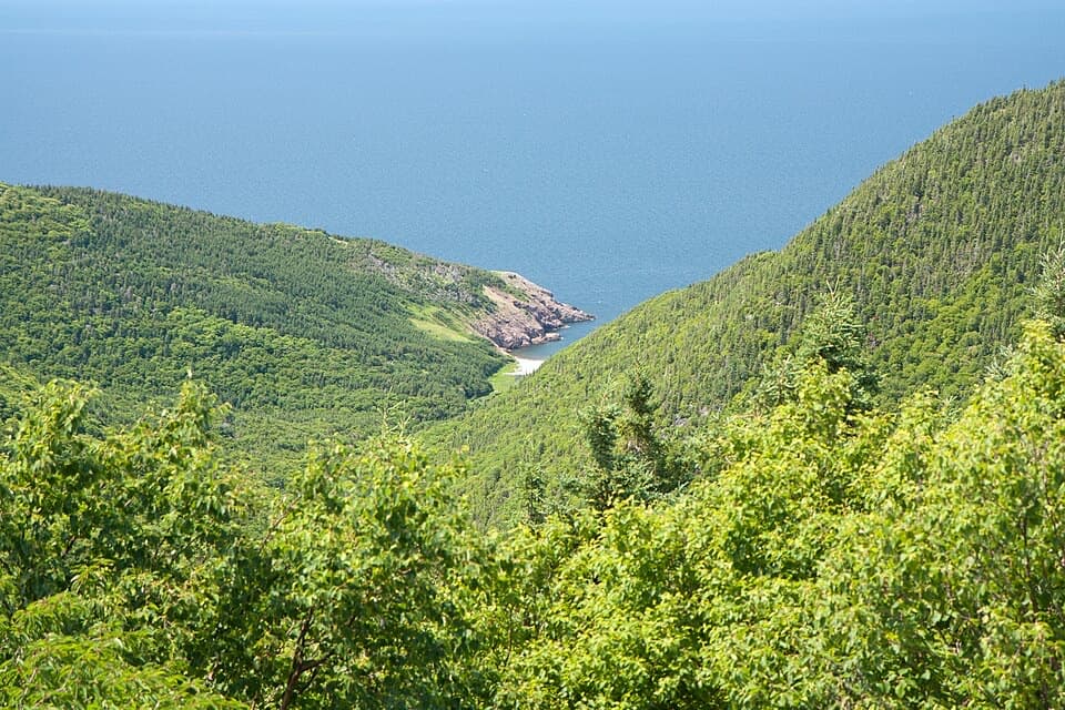 ChallengingFishing Cove12 km · 5.5 hr · 8.4 km awayA 12 km cove hike with a tough climb back out.
 ModerateAcadian9.1 km · 3.8 hr · 9 km awayA forest climb to broad views over Chéticamp and the Gulf.
 Campground · 0.1 km awayCorney Brook CampgroundA simple oceanside camp with surf audible from some sites.
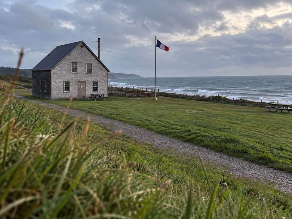 Campground · 1.4 km awayMkwesaqtuk/Cap-Rouge CampgroundA Gulf-side camp with cliff views and a cobblestone beach.
 Sight · 1.4 km awayVeteran's MonumentA war memorial adds history to this sweeping Cabot Trail view.
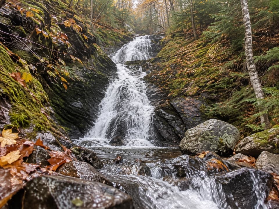 Sight · 2.5 km awayCorney Brook FallsA 9 m waterfall rewards a quiet walk beside the brook.
 Beach · 3 km awayLa Bloc BeachA pebbly Gulf beach with old wharf remains and Acadian history.
 Scenic pullout · 4.5 km awayFrench Lake Look-OffA quick lake-view pause along the Cabot Trail.
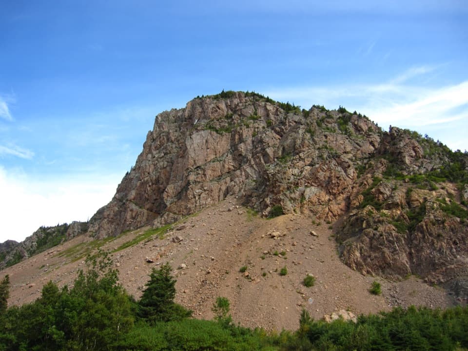 Picnic area · 6.1 km awayLes FalaisesPull in for a quick look up at La Grande Falaise.
 Campground · 8.5 km awayChéticamp CampgroundCamp beside the river with four park trails close by.
Parkwolf’s Cape Breton Highlands ranking

The audio tour guide for the drive, plus offline maps, trails, and wildlife heatmaps for when the signal drops.