
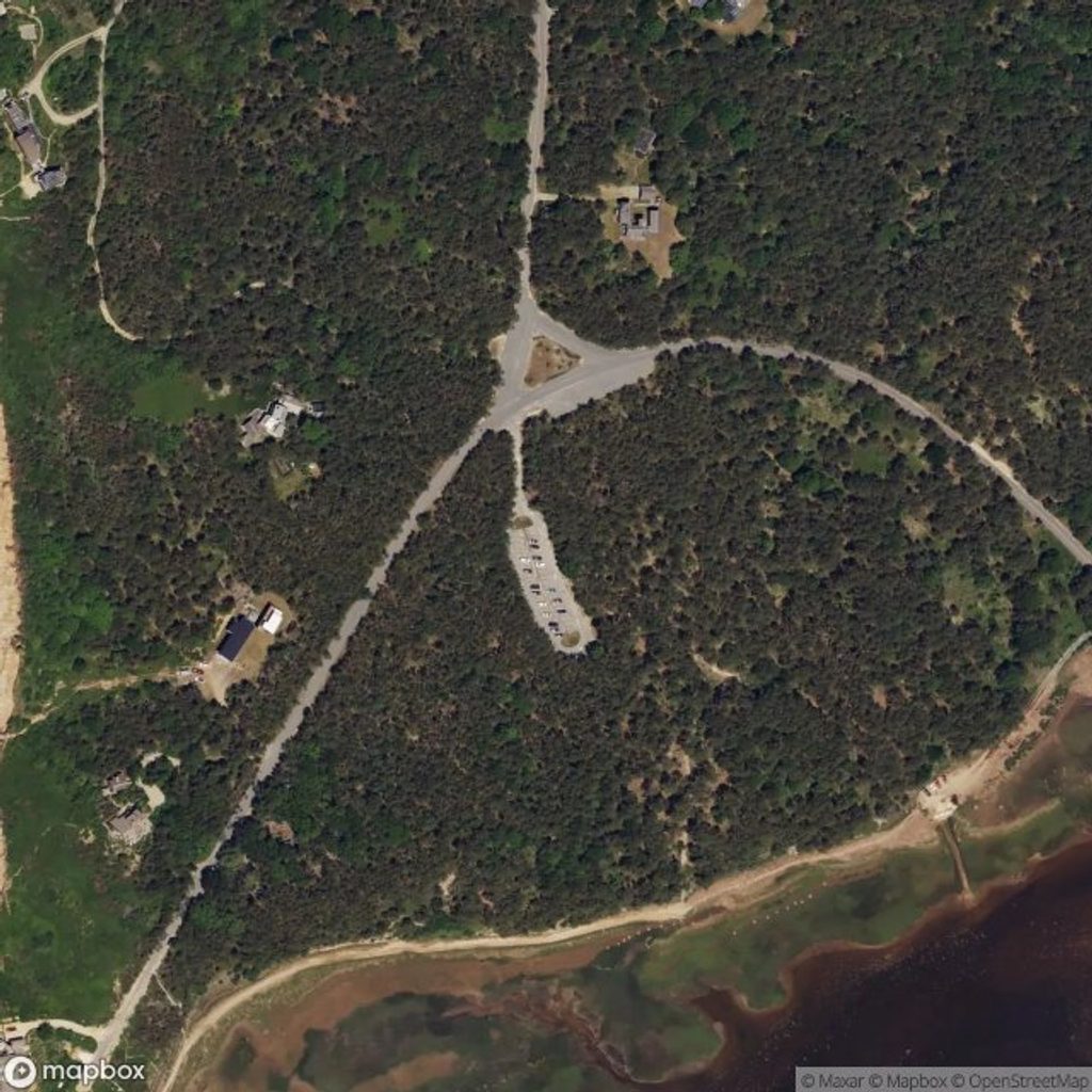
Place · 3.3 mi away

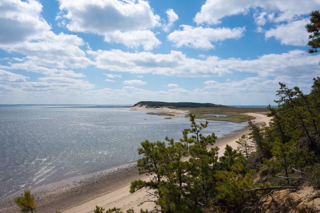
Jeremy Point is the skinny, ever‑shifting sand spit at the south end of Great Island, formed by glacial sands driven along the bay shore over thousands of years. It feels wonderfully remote—just wind, water, and wide‑open horizons.
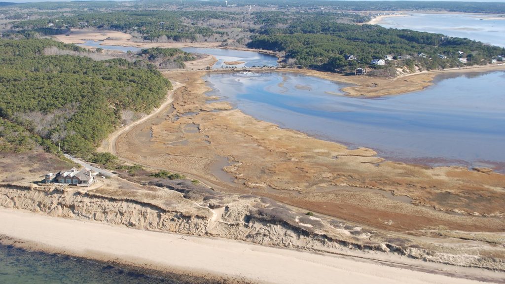
Expect big‑sky views over Cape Cod Bay, broad tidal flats, migrating sandbars, and dune‑backed beaches. Along the way you’ll look across the Herring River and Wellfleet Harbor, with grassy plains and pitch‑pine heights framing the bay. Wildlife is a highlight: shorebirds and raptors work the flats; in cooler months harbor seals often haul out on nearby bars; you may even spot horseshoe crab molts on the bay side. Winter has produced occasional snowy owl sightings.
Reach the point via the Great Island Trail from the trailhead near Griffin Island and Chequessett Neck Road in Wellfleet. A popular loop to the Jeremy Point Overlook is about 8.8 miles round‑trip; when tides allow, you can continue along the narrow sandbar to the actual tip for roughly 1.4 miles farther one‑way. Much of the route is deep sand with some sections that can be submerged at high tide—plan accordingly and allow three to five hours for the main outing.
Tides rule everything here. Parts of the route and the spit flood at higher tides, and channels can deepen quickly. Aim for low tide, carry a current tide chart for Wellfleet/Cape Cod Bay, and turn back before the water rises. There’s little to no shade or water, summer sun and wind can be intense, and insects (including greenhead flies) can be fierce in midsummer. Expect ticks and poison ivy along upper beach edges; long pants help.
There are no facilities on the spit—no bathrooms, water, or signage once you’re out there. Portable toilets are located at the Great Island Trail parking area; bring all the water you need and pack out everything. Trail signage can be spotty, so grab the printed trail guide at the trailhead if available.
Leashed pets are permitted only in specific sections closer to the parking area and out onto the beach; interior routes have restrictions due to wildlife. Obey posted signs before committing to the full hike.
Time your visit around low tide for safe passage and the most expansive tidal‑flat scenery. Mornings offer cooler temps and gentler light; late‑day golden hour can be gorgeous if the tide window aligns. Summer brings more biting flies; shoulder seasons often feel calmer and wilder, and cooler months can be great for seal and bird watching.
Place · 3.3 mi away
Place · 3.4 mi away
Place · 4 mi away
Place · 4.8 mi away
Challenging · 3.3 mi away
Easy · 4.9 mi away
Easy · 6 mi away

Easy · 6 mi away

Parkwolf Tour Guide
