Parking
Park at Salt Pond Visitor Center, 50 Nauset Road off Route 6. The trail entrance is beside the amphitheater; restrooms are in the parking area.
#4 of 32 trails in Cape Cod
Cape Cod National Seashore, MA
Salt Pond, tidal marsh and a short loop through recovering forest
Overview
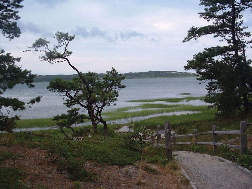
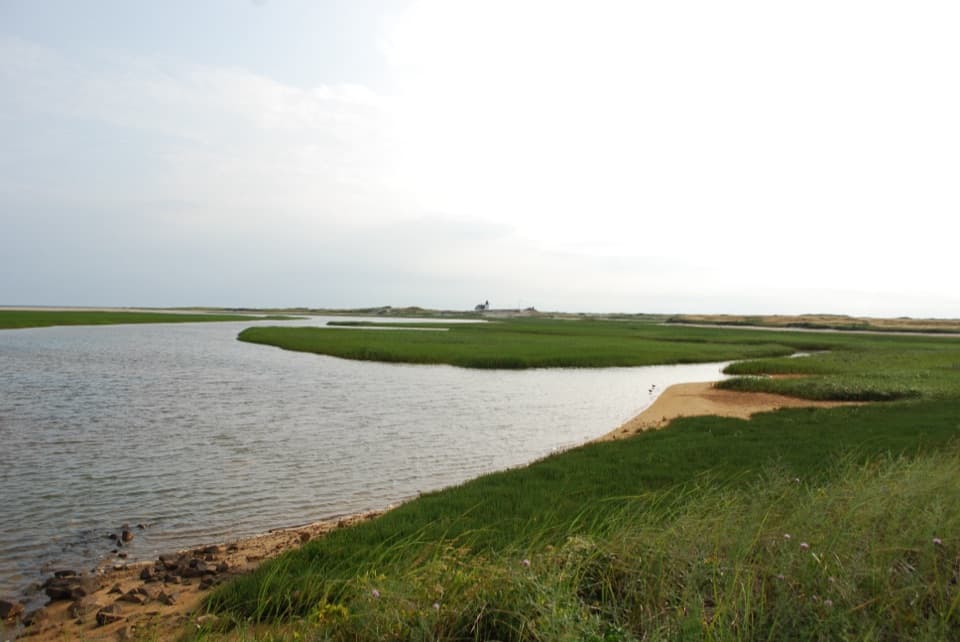
Nauset Marsh Trail is a 1.3-mile loop from the Salt Pond Visitor Center amphitheater. Allow about an hour. The route skirts Salt Pond and Nauset Marsh, crosses fields, and returns through recovering forest. If you want a varied walk without giving up half a day, this is a good choice: pond, tidal flats, and woods all fit into a short circuit. It is rated easy, but it is not completely flat or smooth.
 Parkwolf’s verdictIs this the walk for you?
Map & elevation
Plan your hike

The highest, rockiest slopes around here are a summer buffet for grizzly bears.
Cape Cod Tour Guide
Parkwolf is a GPS audio tour guide for Cape Cod National Seashore. As you drive, it chimes in with what’s ahead: hidden gems, upcoming stops, history, geology, and wildlife, right through your car’s speakers.
See the Cape Cod audio tourRecorded for this trailhead
Salt Pond Visitor Center“Salt Pond Visitor Center is up ahead, a useful stop if you're still choosing what to do today. Ask a ranger for help, then take in the view across Salt Pond and Nauset Marsh from the lobby.”
Plays as you drive up to this trailhead in the Parkwolf Cape Cod Tour Guide.
More stories near here in the app
“Fantastic app with many points of information… It’s great to just turn on while you’re driving and it gives you an audio tour of the national Park. We love it!!!!”


Trail guide
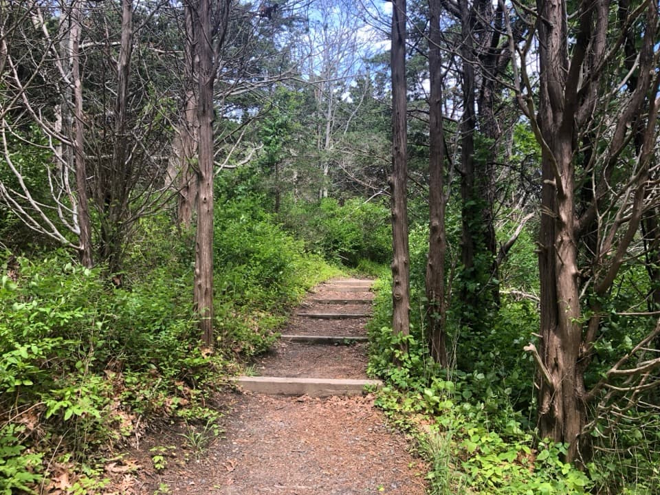
The shore sections give you several views across the water and marsh rather than one single overlook. The mapped path mixes dirt and gravel with a few short wooden crossings. The field section opens the view; the return through young woodland has the route’s log steps and moderate grades. Take your time where the path reaches the marsh edge: the waterline and tidal flats change through the day, so the view does too.
This loop crosses the paved Nauset Bike Trail, so watch for cyclists at the crossing. The bike trail is a different outing. A minimally maintained walking extension continues toward Doane Picnic Area and Coast Guard Beach, but that is not part of the 1.3-mile loop; descriptions give different distances for it, so check the posted map before adding the extension. If you want a much shorter walk, nearby Buttonbush Trail is a separate 0.3-mile loop. Pets are not permitted on this walking trail.
Salt Pond began as a freshwater kettle left by melting glacial ice about 18,000 years ago. Later, the ocean cut an inlet through the barrier beach and connected the pond to Nauset Marsh. The marsh’s flats are flushed by the tide twice a day, which helps make them a nursery for fish, shellfish, and plankton.
Look across the channels for shorebirds, wading birds, and migratory waterfowl; the marsh is habitat for all three groups. The views are part of the point here, but the water is doing more than making a pretty background. Its tidal flats feed wildlife and connect the pond to the larger coastal system.
Samuel de Champlain charted Nauset Marsh in 1605, when it was still a navigable bay. His account noted homes and cultivated hillsides of the Nauset people. The landscape on this loop has changed since then: the inlet and barrier beach reshaped the water, while the fields and woods show more recent use.
The open ground and recovering woodland are not untouched wilderness. A private golf course operated here until the early 1940s, with fairways, sand traps, and greens. After it was abandoned, junipers—often called red cedars—moved across the old course, followed later by oaks. That mix of open ground and young woods is part of why the loop feels varied for its length.
Park at Salt Pond Visitor Center, 50 Nauset Road off Route 6. The trail entrance is beside the amphitheater, and restrooms are at the visitor center parking area.
Wildlife
 461 sightingsGray SealMost seen around 11 AMSighting map
 85 sightingsCoyoteMost seen around 6 AMSighting map
 300 sightingsRed FoxMost seen around 7 PMSighting map
 49 sightingsWhite-tailed DeerMost seen around 6 AMSighting map
 264 sightingsHorseshoe CrabMost seen around 8 PMSighting map
 74 sightingsGreat Blue HeronMost seen around 6 PMSighting map
Sighting maps show where each species has been reported across Cape Cod. Wildlife moves, so no sighting is guaranteed.
Keep exploring
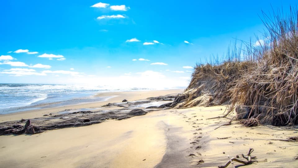 EasyCoast Guard Beach Trail4 mi · 2.2 hr · At the trailheadSalt marsh footpath to a wide Cape Cod beach.
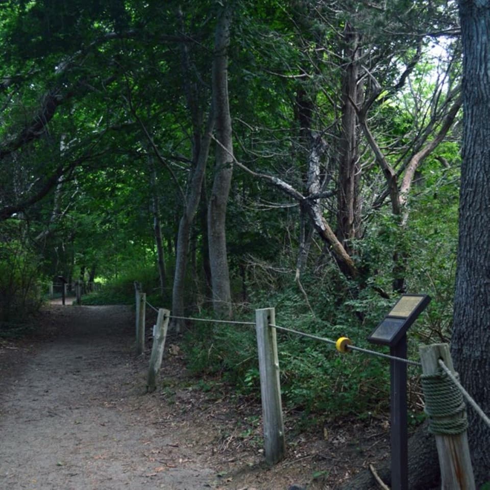 EasyButtonbush Trail0.3 mi · 15 min · At the trailheadBraille, guide ropes and a pond bridge pack into 0.3 miles.
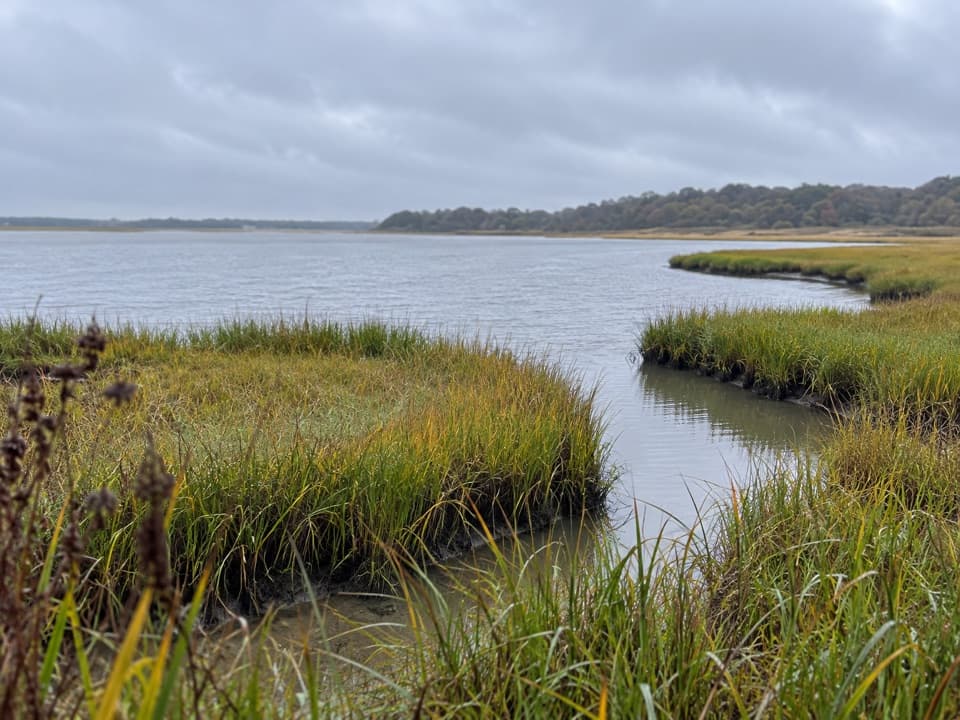 EasyNauset Bike Trail2 mi · 1.3 hr · 0.2 mi awayA rolling paved path through woods to Coast Guard Beach.
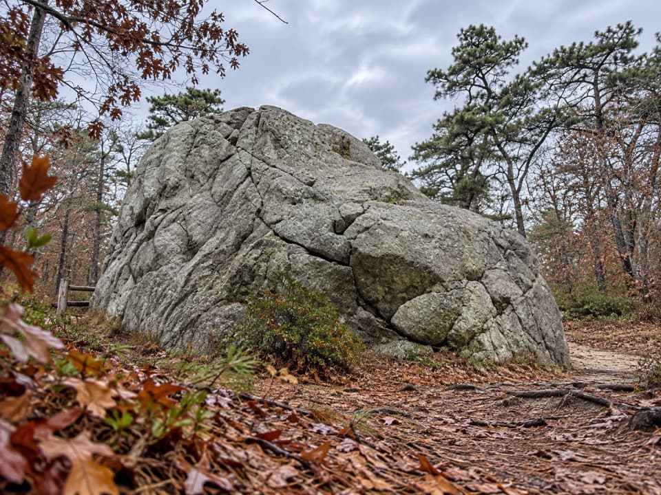 EasyDoane Trail0.6 mi · 30 min · 0.8 mi awayA short paved loop past a glacial boulder at the start.
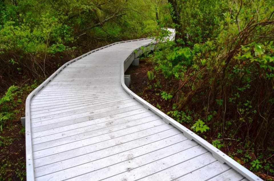 EasyRed Maple Swamp Trail0.8 mi · 30 min · 1.1 mi awayA short boardwalk beneath red maples, brightest in fall.
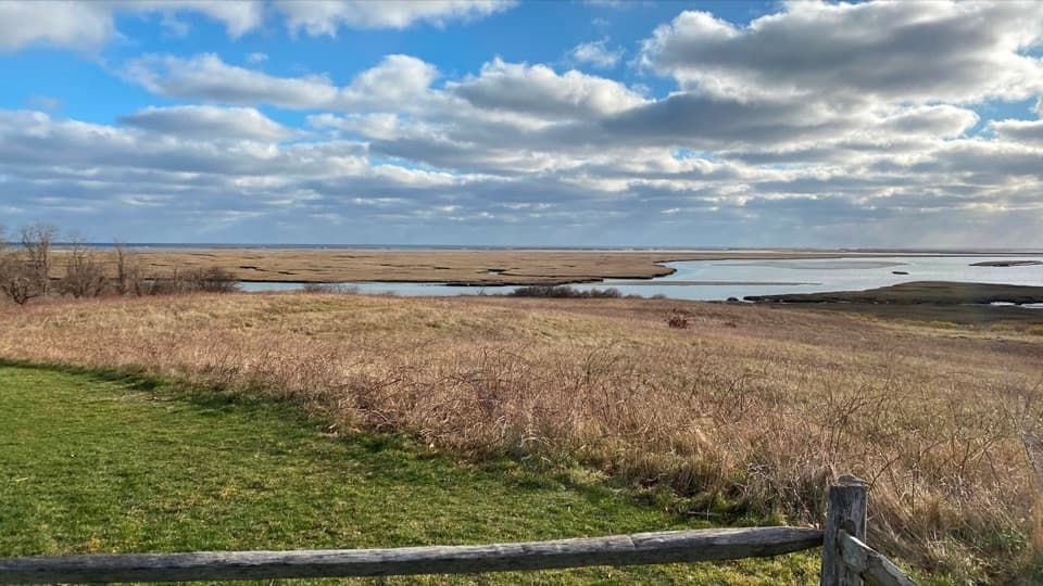 EasyFort Hill Trail1 mi · 45 min · 1.3 mi awayA short field loop with marsh views and a 20-ton story.
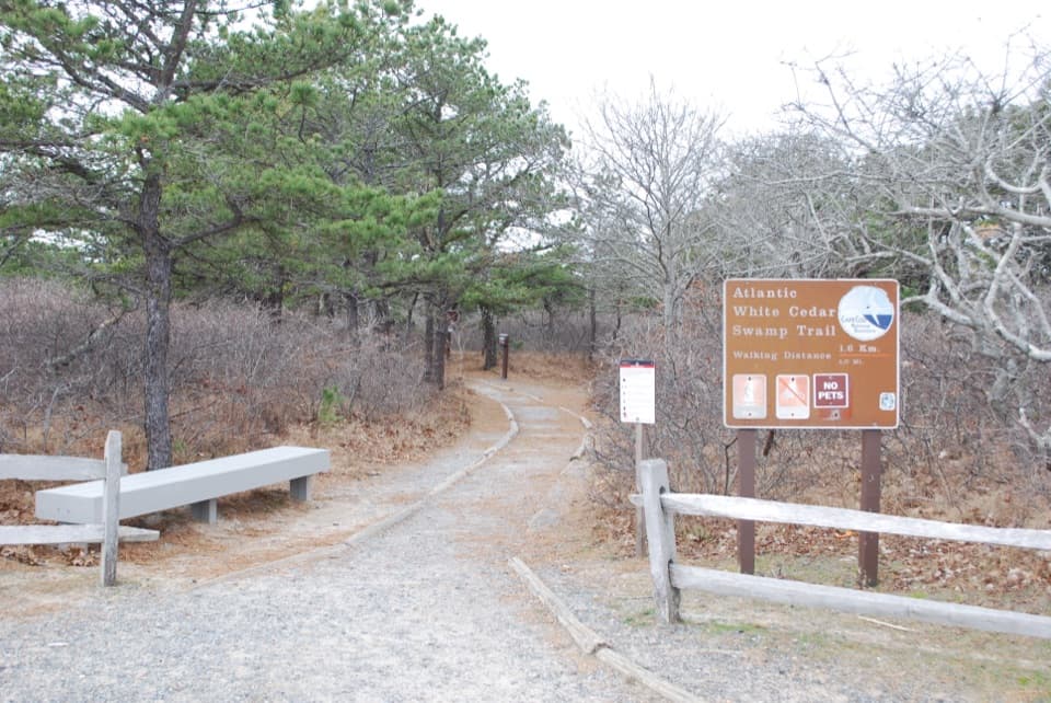 ModerateAtlantic White Cedar Swamp Trail1.2 mi · 1 hr · 5.2 mi awayBoardwalk through cedar swamp; half a mile of soft sand after.
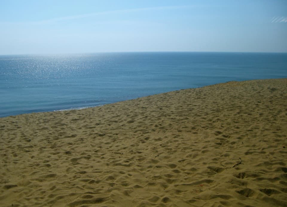 ModerateDuck Pond, Great Pond and White Crest Beach Loop5.9 mi · 2.5 hr · 7.1 mi awayTwo kettle ponds and a beach in one sandy loop.
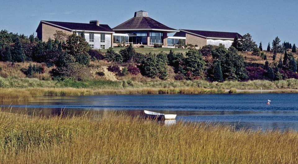 Visitor center · At the trailheadSalt Pond Visitor CenterRanger help, local history, and a view over Salt Pond.
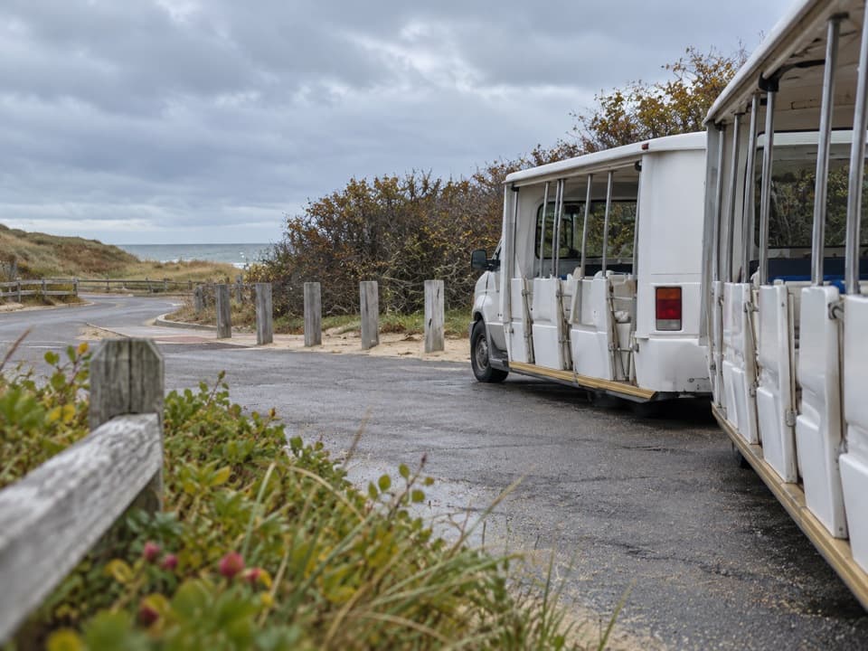 Entrance station · 0.8 mi awayLittle Creek Beach Shuttle and Fee StationSettle fees and catch the Coast Guard Beach shuttle here.
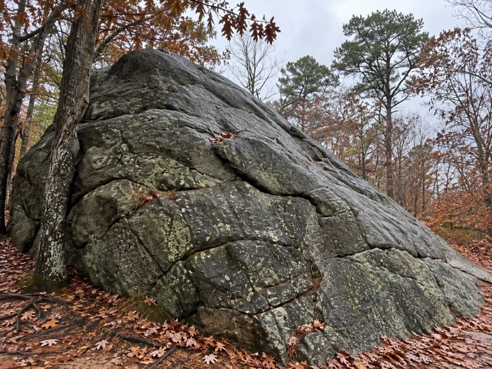 Sight · 0.9 mi awayDoane RockA giant ice-age erratic with an accessible woodland loop nearby.
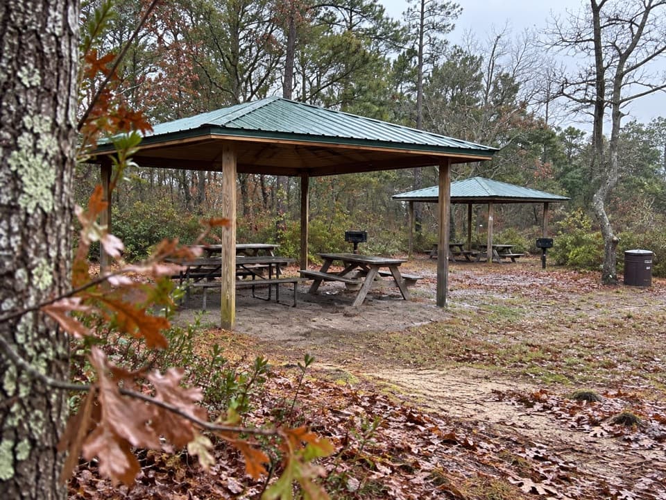 Picnic area · 0.9 mi awayDoane Rock Picnic AreaA covered picnic stop with an easy forest loop next door.
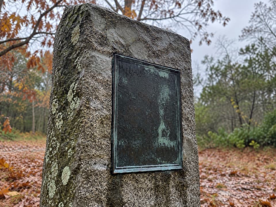 Sight · 0.9 mi awayDoane Homestead SiteA vanished 17th-century home left unusually vivid archaeological clues.
 Sight · 1.1 mi awaySkiff Hill OverlookA 20-ton sharpening stone above the marsh it once stood in.
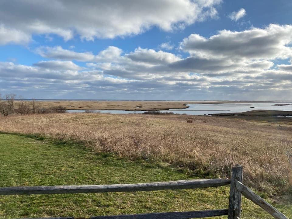 Sight · 1.3 mi awayFort HillA short loop across open fields to wide Nauset Marsh views.
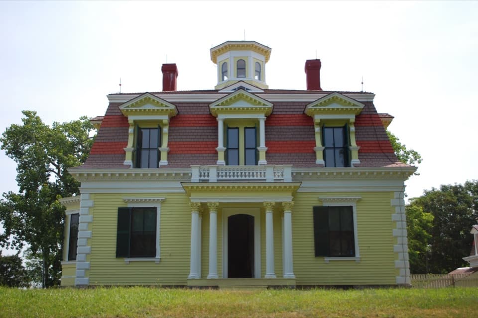 Sight · 1.4 mi awayCaptain Penniman HouseA whaling captain built this house to watch ships from the cupola.
Parkwolf’s Cape Cod ranking
The audio tour guide for the drive, plus offline maps, trails, and wildlife heatmaps for when the signal drops.