
Place · 0 mi away
Challenging
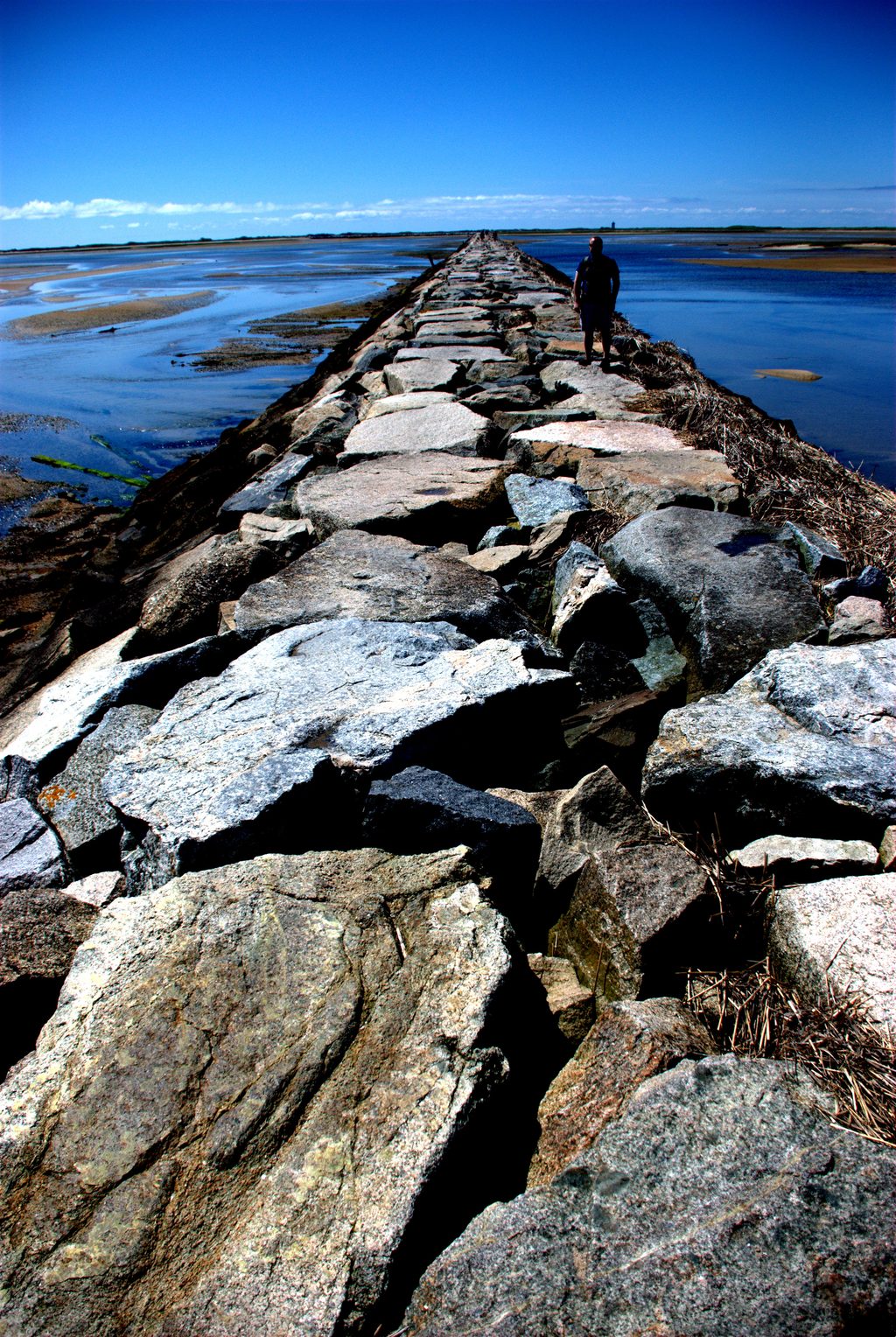
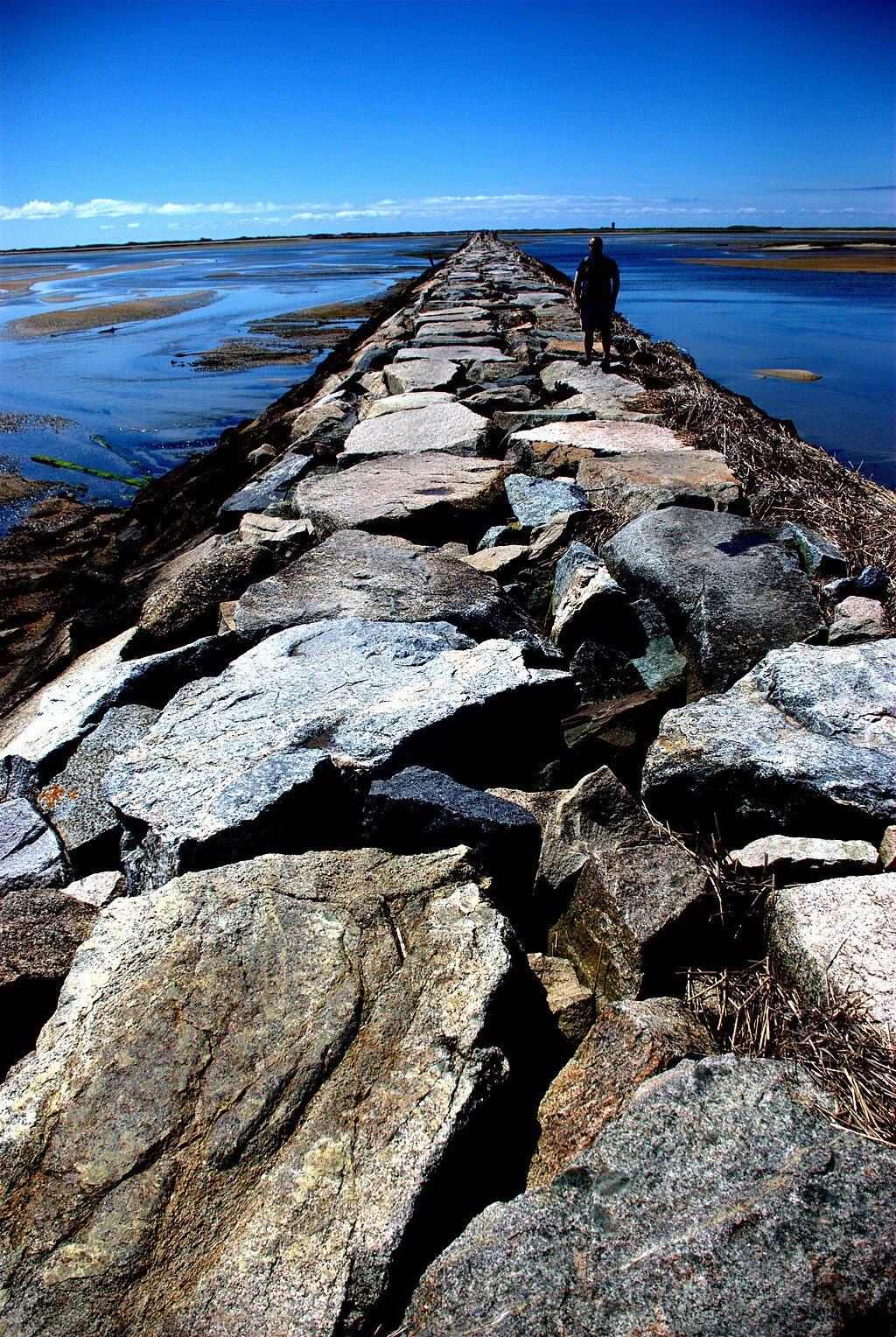
This is the classic walk across Provincetown’s granite breakwater to the sandspit by Wood End, with sweeping harbor-and-ocean views the whole way. The breakwater itself is 6,150 feet long—just over a mile—built as a dike in 1914. It’s challenging but rewarding: big, uneven blocks demand focus, and the scenery and solitude increase with every careful step.
If you simply cross and return on the rocks, plan on roughly 2.3 miles total (the 6,150‑foot crossing out and back) and give yourself two hours or more—most of that time is spent picking deliberate steps. Many hikers extend along the outer beach to Long Point Lighthouse for a much bigger day; that loop is approximately 6.4 miles total.
Expect irregular, sometimes slick boulders with occasional steep drops between stones. This is not a maintained, signed nature trail, and the sandy approach to the breakwater isn’t an official maintained route. Tides are the crux: high water can submerge sections, create deep tidal channels near Wood End, and strand hikers. Move deliberately, avoid puddled rock, skip salt hay that can hide holes, and bring a reliable way to call for help—rescues do happen here.
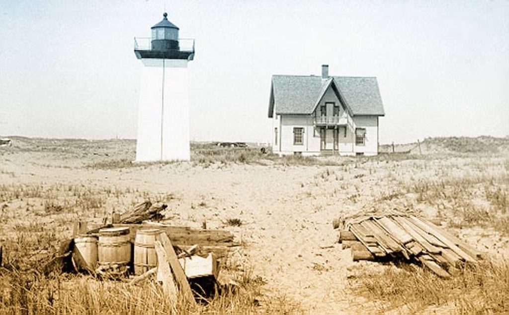
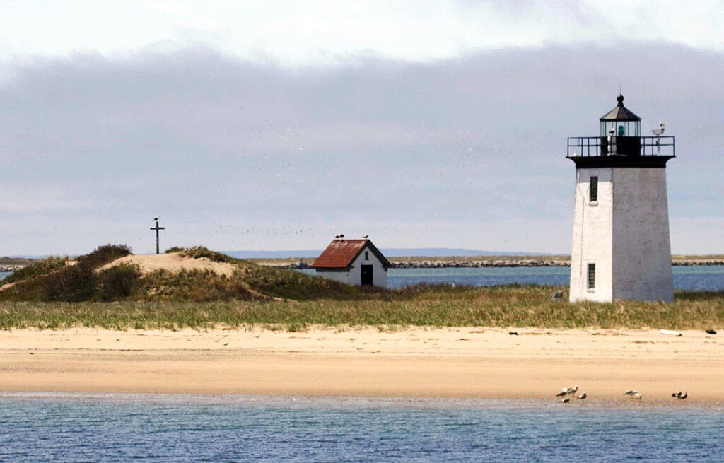
From the breakwater you can spot Wood End Light and, on a longer wander, Long Point, Race Point, and even Highland Light. Low tide reveals a vast tidal plain etched with channels. Wildlife is a real draw—seals are common, and hikers have even reported whales and the occasional shark passing offshore.
Pick a cool day with a favorable low‑tide window. Shoulder‑season days (think early fall) are especially pleasant for longer outings. Start early or time it around an ebbing tide to simplify both the crossing and parking.
Wear grippy footwear, bring water and sun protection, and don’t rush—every step should be intentional. Check tide tables before you go and avoid committing to a crossing as the tide rises. If you want a signed, easier walk nearby, consider one of the park’s official nature trails; for another long, wild Cape Cod trek, the Great Island area in Wellfleet is a standout.
Park near Pilgrim’s First Landing Park at the rotary where Commercial Street meets Province Lands Road; roadside spots fill fast during peak times.
Check tides—high tide can submerge sections and create deep overwash near Wood End; boulders are irregular, slippery, and have steep drops. Avoid salt hay and puddles; carry a phone—rescues have occurred.
Place · 0 mi away
Place · 1.1 mi away

Place · 1.1 mi away

Place · 1.2 mi away
Moderate · 0 mi away

Easy · 1.6 mi away

Easy · 2 mi away
Moderate · 2.7 mi away

Parkwolf Tour Guide
