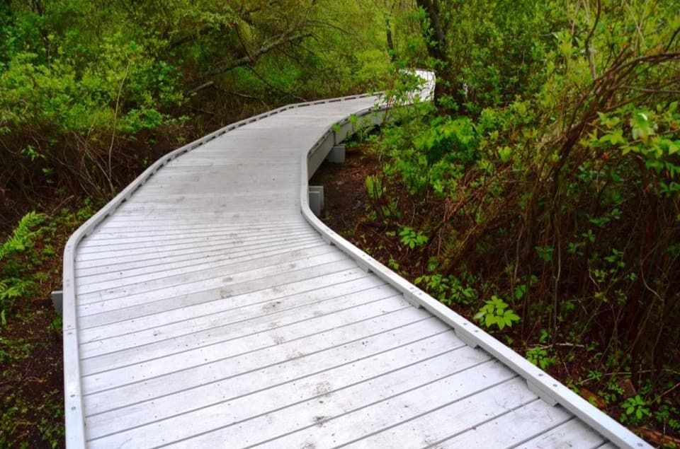
Parking
Limited roadside spaces near the south end of Province Lands Road, by Pilgrim’s First Landing and the Provincetown Inn; the reported area holds about two dozen vehicles. Parking fees and overflow options were not verified.

#6 of 32 trails in Cape Cod
Cape Cod National Seashore, MA
A rocky dike and soft sand lead to Long Point Light.
Overview
Map & elevation
Plan your hike

The highest, rockiest slopes around here are a summer buffet for grizzly bears.
Cape Cod Tour Guide
Parkwolf is a GPS audio tour guide for Cape Cod National Seashore. As you drive, it chimes in with what’s ahead: hidden gems, upcoming stops, history, geology, and wildlife, right through your car’s speakers.
See the Cape Cod audio tourRecorded for this trailhead
Long Point Dike and the Lighthouse Walks“Up ahead is Long Point Dike, an unusual walk across Provincetown Harbor on rough granite blocks. Allow an hour and a half to two hours for the causeway-only round trip, with gaps and sloping stones underfoot.”
Plays as you drive up to this trailhead in the Parkwolf Cape Cod Tour Guide.
More stories near here in the app
“Fantastic app with many points of information… It’s great to just turn on while you’re driving and it gives you an audio tour of the national Park. We love it!!!!”


Trail guide
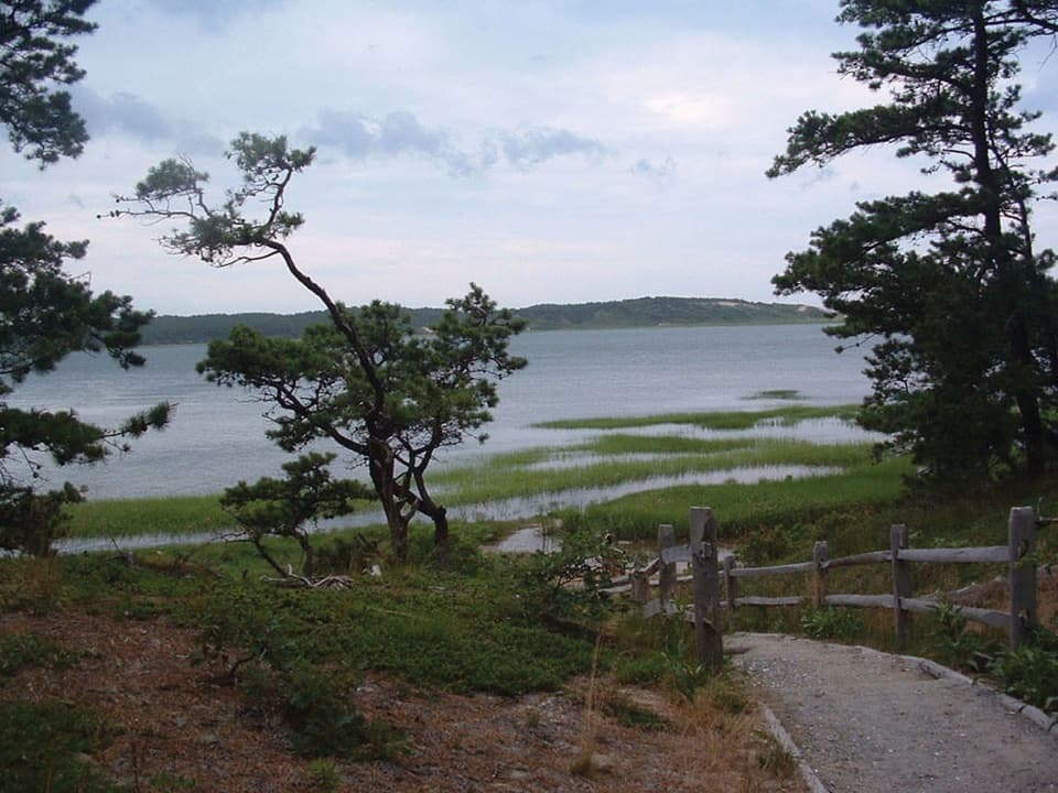
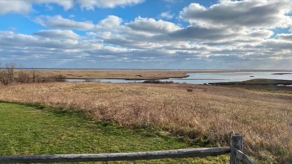
Long Point Lighthouse Trail is about 5.5 miles round trip, an out-and-back from Province Lands Road over Long Point Dike and along sandy shoreline to Long Point Light. Allow about four hours. There is little climbing, but uneven granite and soft beach sand make the walk slower than the elevation suggests. This row covers Long Point Light only; the longer two-lighthouse circuit continues to Wood End Light.
The first stretch crosses Long Point Dike, locally called the Breakwater or the Jetty. The granite blocks get rougher toward the peninsula, with gaps, sloped faces and drops between rocks. It is a balance walk, not a paved path. Low points can be underwater around high tide, and extreme high water can cover the whole crossing. Start near low tide and leave enough time to get back; turn around if water blocks the route.
From the far end of the dike, follow the sandy shoreline route toward Long Point Light. Deep sand slows the walk. Old dock pilings mark the turn toward the sandy path up the dune; keep to the established paths instead of cutting through tall dune grass. If water or a posted bird-protection closure blocks the shore, turn back rather than entering closed or vegetated areas.
The tower you see replaced the original light, built here in 1827, in 1875. An oil house stands nearby, and a dune-top cross honors Provincetown artist Charles S. Darby, who was killed during World War II. It is a memorial, not a grave. The lighthouse buildings are closed to visitors. For a photo, include the cross or sandy path in the foreground with the light behind it.
Start at the roadside spaces near the end of Province Lands Road, by Pilgrim’s First Landing and the Provincetown Inn. The reported area holds about two dozen vehicles and often fills on busy summer days. There is no shade along the route. Dogs aren’t allowed on this walking trail. Stay on designated paths and obey posted shorebird closures.
Wildlife
 461 sightingsGray SealMost seen around 11 AMSighting map
 85 sightingsCoyoteMost seen around 6 AMSighting map
 300 sightingsRed FoxMost seen around 7 PMSighting map
 49 sightingsWhite-tailed DeerMost seen around 6 AMSighting map
 264 sightingsHorseshoe CrabMost seen around 8 PMSighting map
 74 sightingsGreat Blue HeronMost seen around 6 PMSighting map
Sighting maps show where each species has been reported across Cape Cod. Wildlife moves, so no sighting is guaranteed.
Keep exploring
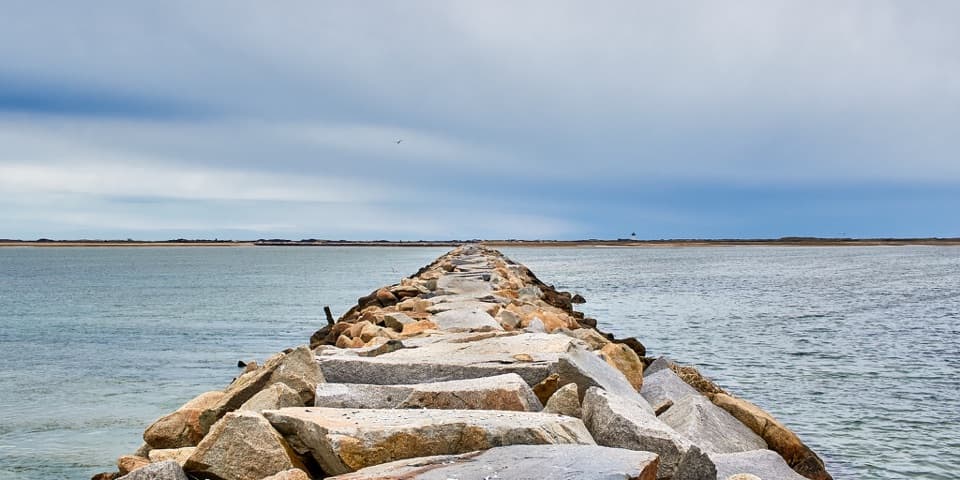 ChallengingProvincetown Causeway2.3 mi · 1.5 hr · At the trailheadGranite blocks cross the harbor; the return is the same rough route.
 ModerateWood End Lighthouse Trail3 mi · 2.5 hr · At the trailheadA rough, tide-exposed dike leads through sand to Wood End Light.
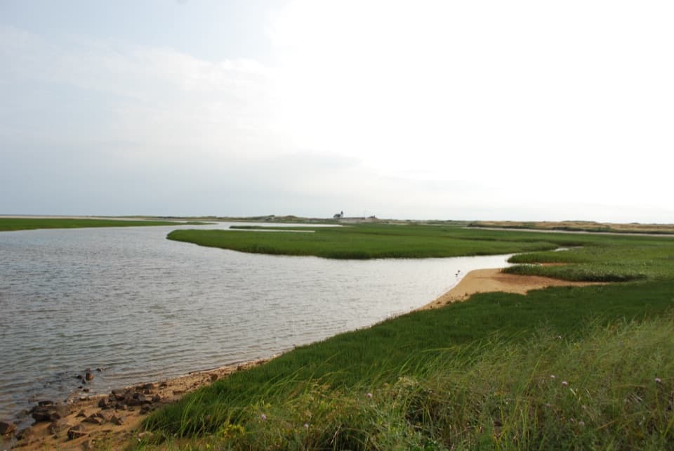 ModerateHatches Harbor Trail3.5 mi · 2.5 hr · 2 mi awayCross the marsh, climb the dunes, and find Race Point Light.
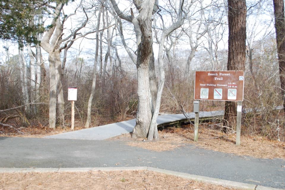 EasyBeech Forest Trail1 mi · 1 hr · 2.1 mi awayA quiet pond loop with spring birds and one steep dune climb.
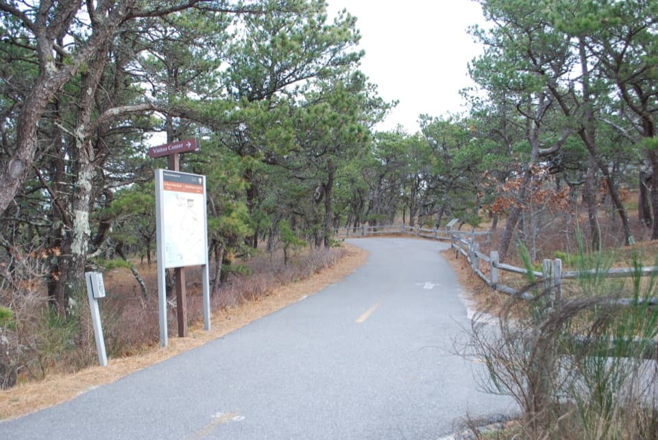 ModerateProvince Lands Bike Trail5.5 mi · 2.5 hr · 2.1 mi awayA paved 5.45-mile loop through dunes, pines, and cranberry bogs.
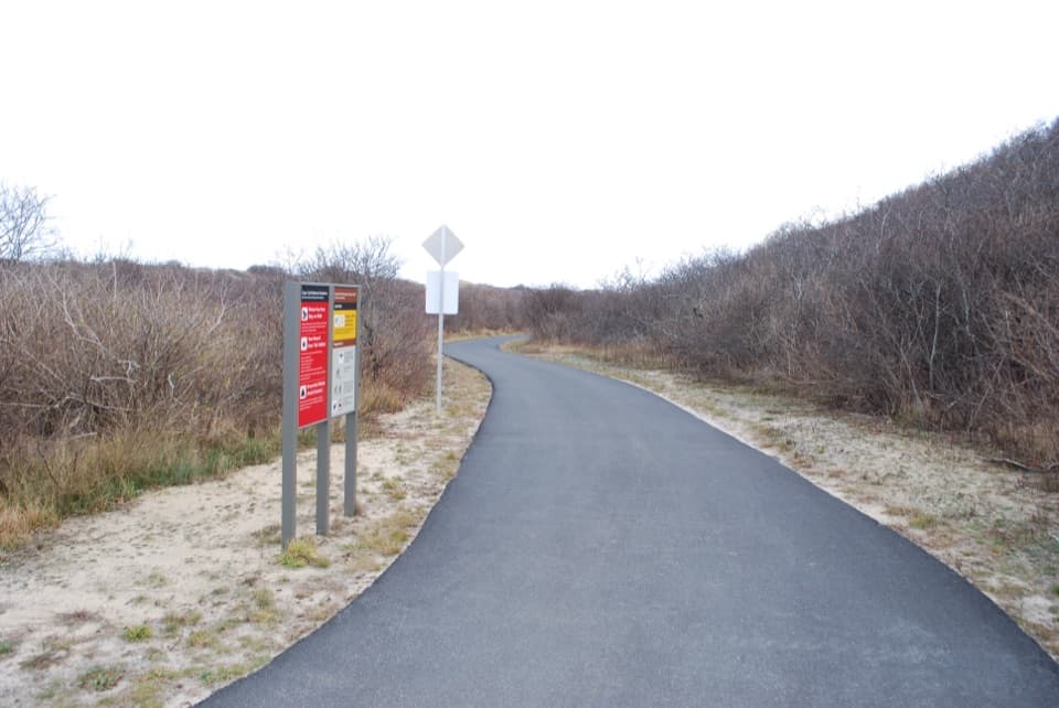 EasyHead of the Meadow Bike Trail2 mi · 30 min · 4.5 mi awayTwo paved miles through coastal woods to the beach.
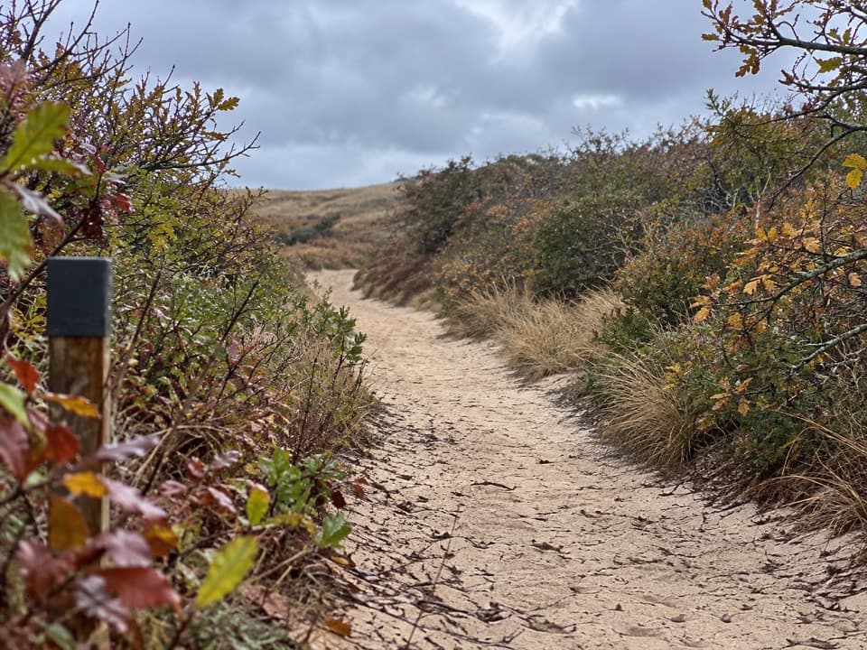 EasyHigh Head Road Trail0.9 mi · 30 min · 4.5 mi awayA short sandy path to the bay, with deep sand underfoot.
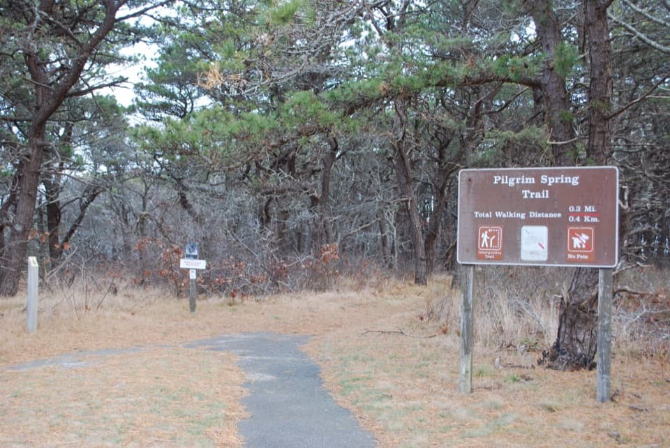 EasyPilgrim Spring Trail0.7 mi · 30 min · 4.8 mi awayA short wooded loop to a bluff view and historic spring site.
 Sight · 1.1 mi awayWood End LightA working harbor light at the end of a rough, tide-sensitive walk.
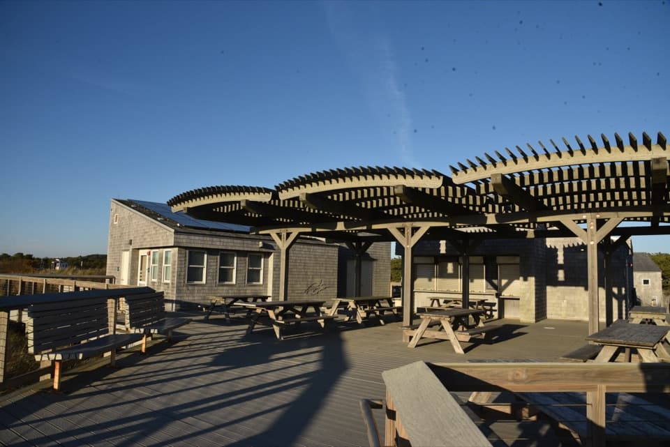 Food · 1.2 mi awayHerring Cove Snack BarA beachside concession beside the bathhouse and picnic area.
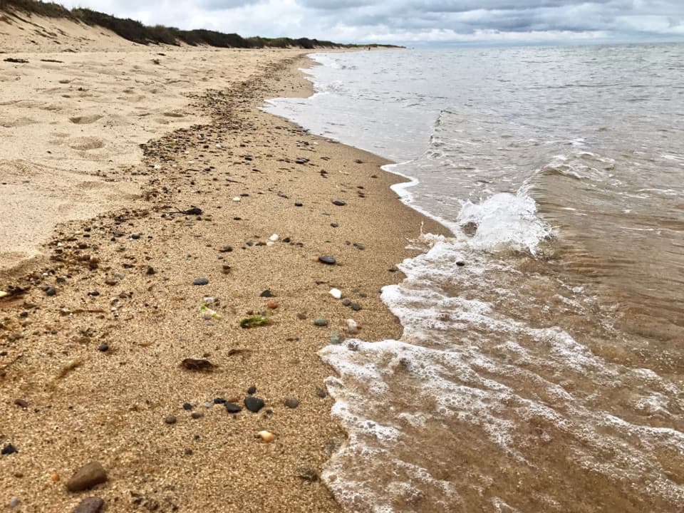 Beach · 1.2 mi awayHerring Cove BeachA west-facing beach with gentler Cape Cod Bay water and sunsets.
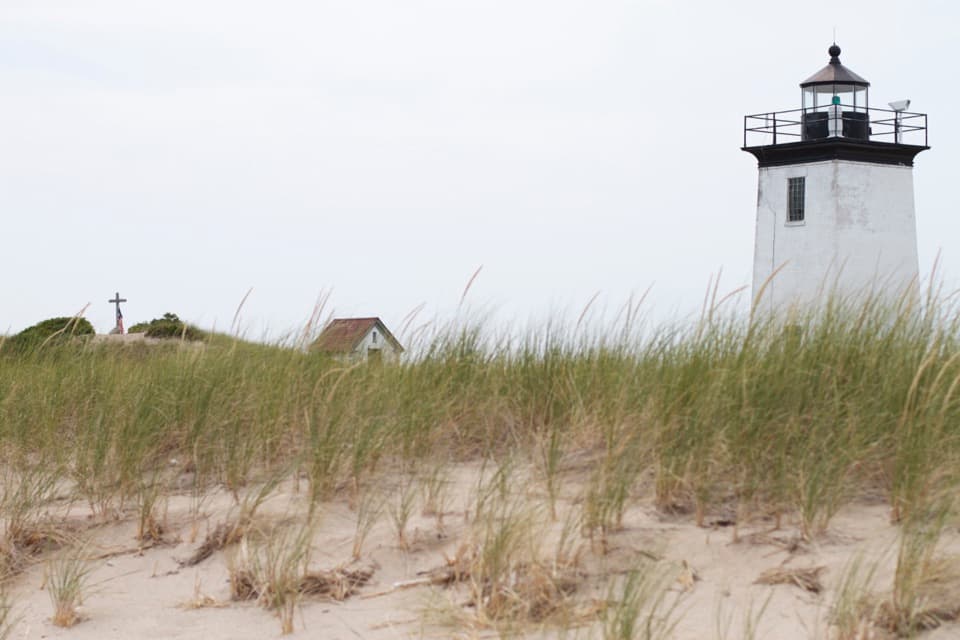 Sight · 1.5 mi awayLong Point LightA remote harbor light at the end of a tide-conscious coastal walk.
 Campground · 1.8 mi awayDunes’ Edge CampgroundA wooded base near Cape beaches, bike trails, and Provincetown.
 Picnic area · 2.1 mi awayBeech Forest Picnic AreaA picnic-table poem makes this pondside trailhead worth a pause.
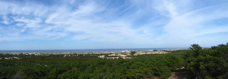 Visitor center · 2.6 mi awayProvince Lands Visitor CenterA 360-degree view makes the northern dunes click into place.
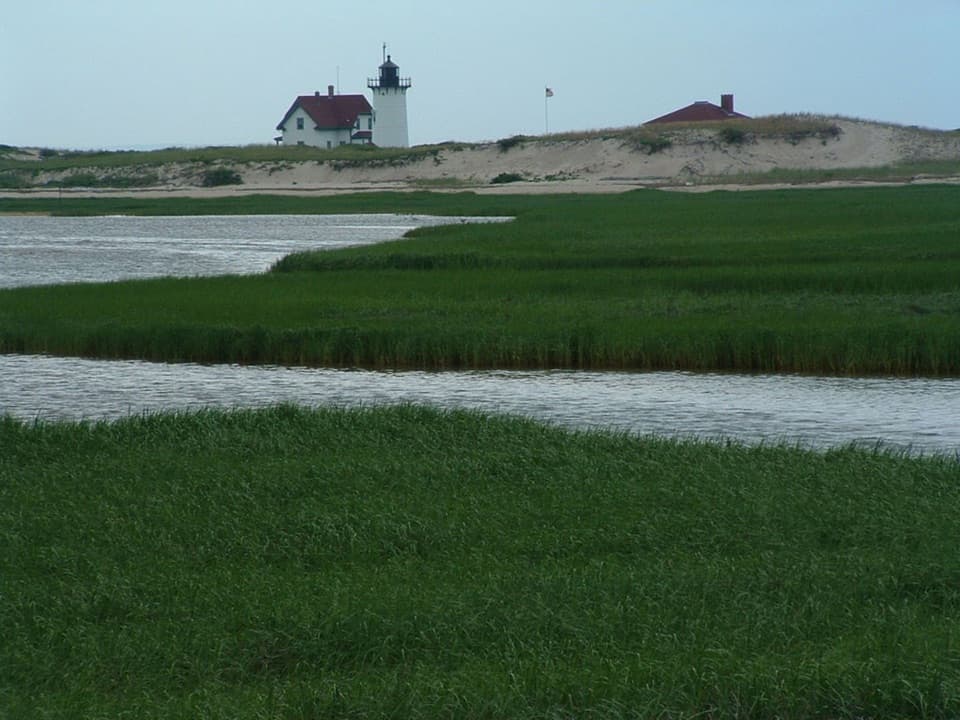 Sight · 3 mi awayRace Point LightA keeper's dune buggy once cut the school trip to 30 minutes.
Parkwolf’s Cape Cod ranking

The audio tour guide for the drive, plus offline maps, trails, and wildlife heatmaps for when the signal drops.