Parking
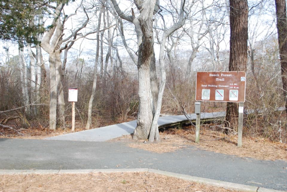
Turn from Route 6 onto Race Point Road; the Beech Forest parking area is about half a mile ahead on the left. The trailhead is beside the lot.
#8 of 32 trails in Cape Cod
Cape Cod National Seashore, MA
A quiet pond loop with spring birds and one steep dune climb.
Overview
Map & elevation
Plan your hike

The highest, rockiest slopes around here are a summer buffet for grizzly bears.
Cape Cod Tour Guide
Parkwolf is a GPS audio tour guide for Cape Cod National Seashore. As you drive, it chimes in with what’s ahead: hidden gems, upcoming stops, history, geology, and wildlife, right through your car’s speakers.
See the Cape Cod audio tourRecorded for this trailhead
Beech Forest“Beech Forest is coming up, a good stop if you'd like a pond-and-woodland walk away from the open dunes.”
Plays as you drive up to this trailhead in the Parkwolf Cape Cod Tour Guide.
More stories near here in the app
“Fantastic app with many points of information… It’s great to just turn on while you’re driving and it gives you an audio tour of the national Park. We love it!!!!”


Trail guide
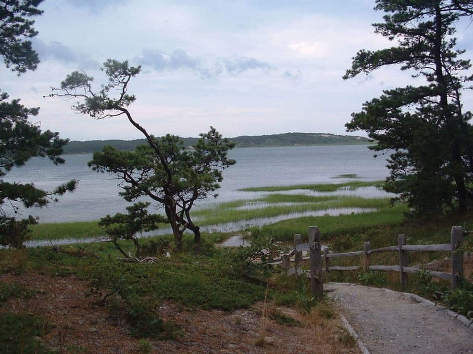
Beech Forest Trail is the one-mile loop through a surviving pocket of beech woods and around a shallow pond in Provincetown. The full walk combines a three-quarter-mile pond loop with a quarter-mile extension through the forested dunes. Distance estimates vary a little, so treat one mile as the park’s rounded figure for the complete route. Allow about an hour. Most of the walk is easy, but the extension adds the steepest climb and descent on log steps. If stairs would spoil the outing, the shorter pond loop keeps the main water-and-woods stretch.
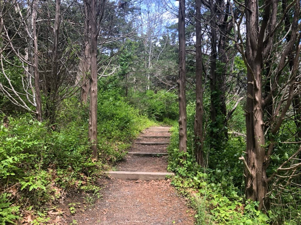
The eastern entrance begins on a wooden boardwalk beside the water, then the surface changes to hard-packed sand with softer patches that slow you down. The two circuits meet again at a junction, so you can take the inner pond loop or continue into the extension. That outer stretch passes through a narrow gully between forested dunes, climbs on steep log steps and drops back down. It’s a brief but real hill, and the reason the full mile feels more like a hike than a stroll. The return toward the pond is flatter. A short side track reaches a little dock on the pond to the west; water lilies are the draw there. From the boardwalk, the handrails make a good leading line into the trees.
Spring and fall are the strongest seasons for birding here. Cape Cod’s coastal woods give migrating songbirds a place to pause, and warblers are the signature draw. Sightings change from year to year, so come ready to watch and listen rather than expecting a particular checklist. The park asks visitors not to feed the birds.
The Beech Forest is the Cape’s sole remaining beech forest, a pocket that escaped the broad clearing of Cape Cod because it sits low among the dunes. Before that clearing, the region also held pine-oak woods and groves of hickory, red maple and birch. On this loop, the mature leafy canopy feels strikingly separate from the open sand and scrub of the surrounding Province Lands.
At the trailhead picnic table, a Poetry in Parks installation pairs Mary Oliver’s poem "Can You Imagine?" with the woods she walked for hours. Poet Laureate Ada Limón chose Oliver’s poem for the table. Oliver lived in Provincetown for more than 50 years and spent hours walking this trail. It’s an unusually personal bit of local history to find before or after such a short walk.
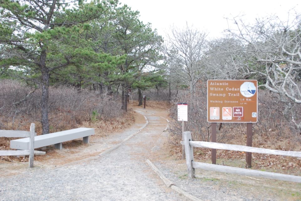
Turn off Route 6 onto Race Point Road and follow it about half a mile to the Beech Forest parking area on the left. The trailhead has a picnic area, benches, an information kiosk and seasonal restrooms. The paved Province Lands Bike Trail also starts from the lot, but it’s a separate route. Dogs are prohibited on Beech Forest Trail; the park permits pets on only a few other named walking trails. Mosquitoes can be bothersome around the ponds in warm weather.
Wildlife
 461 sightingsGray SealMost seen around 11 AMSighting map
 85 sightingsCoyoteMost seen around 6 AMSighting map
 300 sightingsRed FoxMost seen around 7 PMSighting map
 49 sightingsWhite-tailed DeerMost seen around 6 AMSighting map
 264 sightingsHorseshoe CrabMost seen around 8 PMSighting map
 74 sightingsGreat Blue HeronMost seen around 6 PMSighting map
Sighting maps show where each species has been reported across Cape Cod. Wildlife moves, so no sighting is guaranteed.
Keep exploring
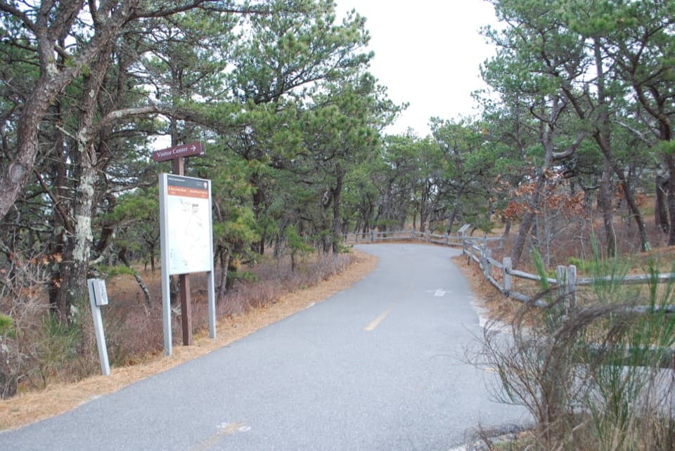 ModerateProvince Lands Bike Trail5.5 mi · 2.5 hr · At the trailheadA paved 5.45-mile loop through dunes, pines, and cranberry bogs.
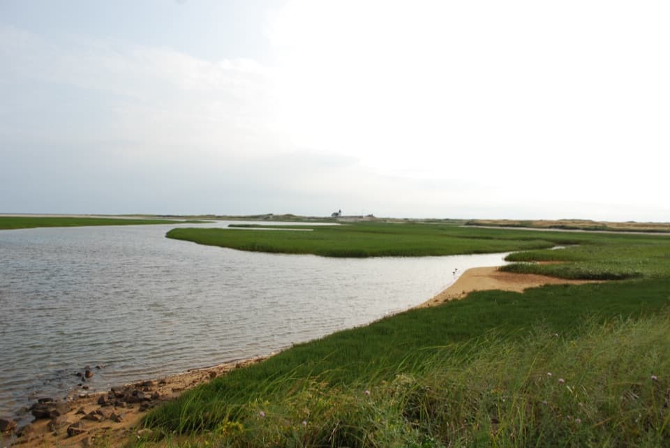 ModerateHatches Harbor Trail3.5 mi · 2.5 hr · 1.3 mi awayCross the marsh, climb the dunes, and find Race Point Light.
 ModerateWood End Lighthouse Trail3 mi · 2.5 hr · 2 mi awayA rough, tide-exposed dike leads through sand to Wood End Light.
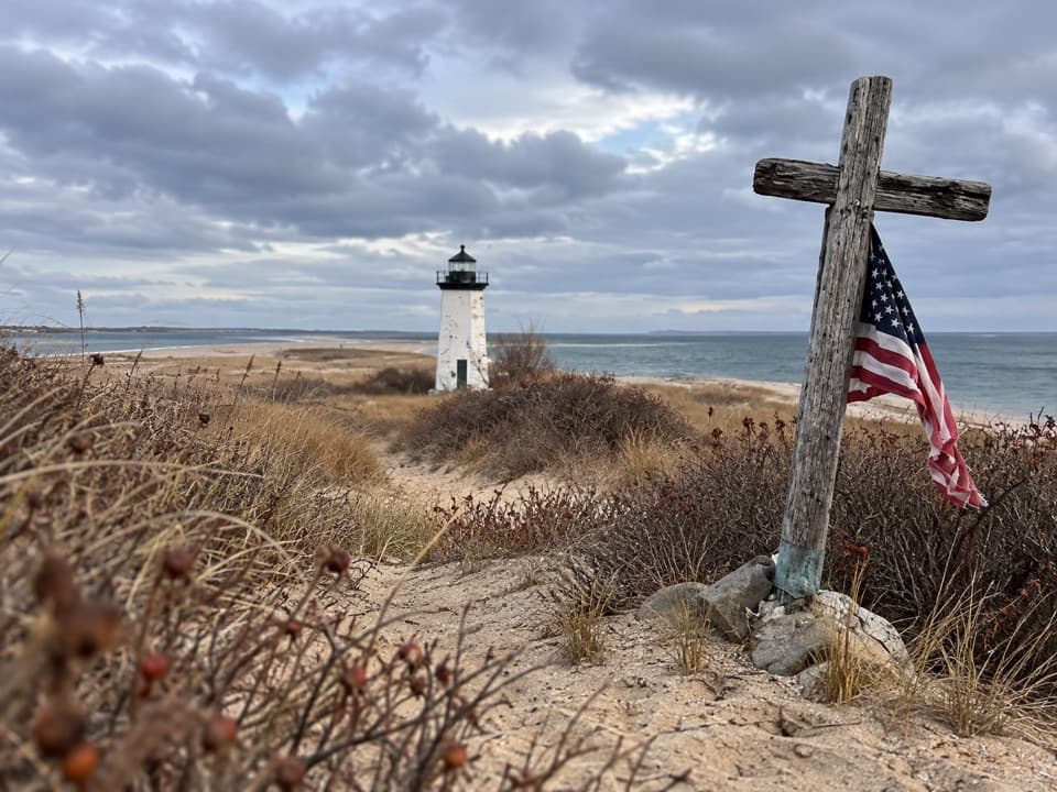 ModerateLong Point Lighthouse Trail5.5 mi · 4 hr · 2.1 mi awayA rocky dike and soft sand lead to Long Point Light.
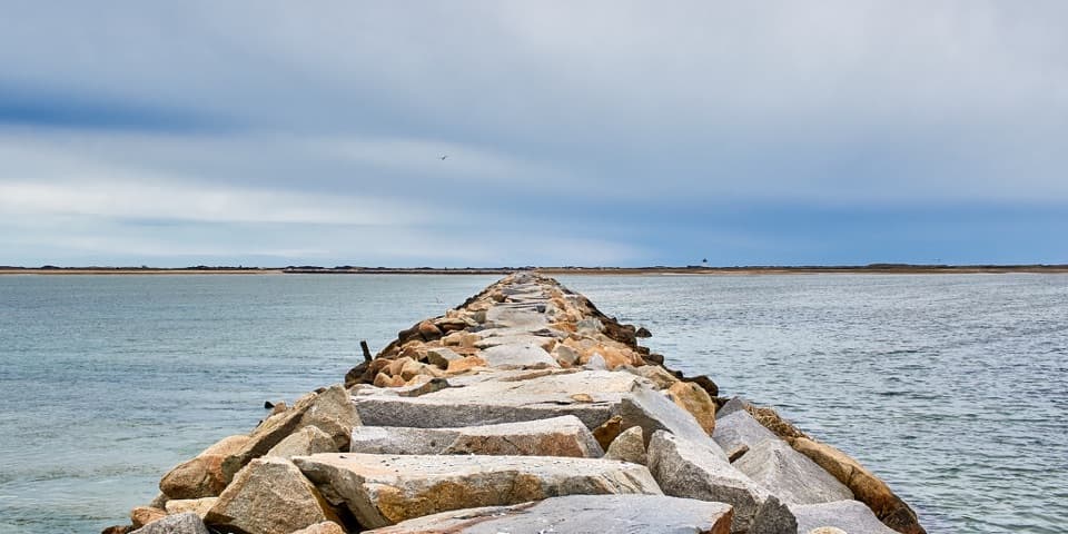 ChallengingProvincetown Causeway2.3 mi · 1.5 hr · 2.1 mi awayGranite blocks cross the harbor; the return is the same rough route.
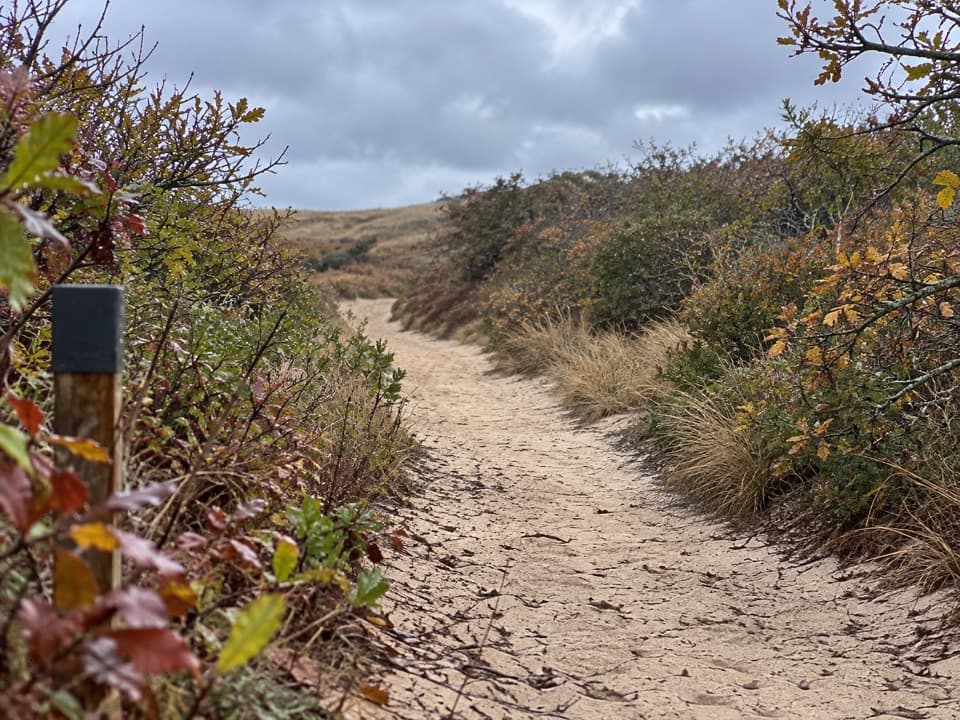 EasyHigh Head Road Trail0.9 mi · 30 min · 4.1 mi awayA short sandy path to the bay, with deep sand underfoot.
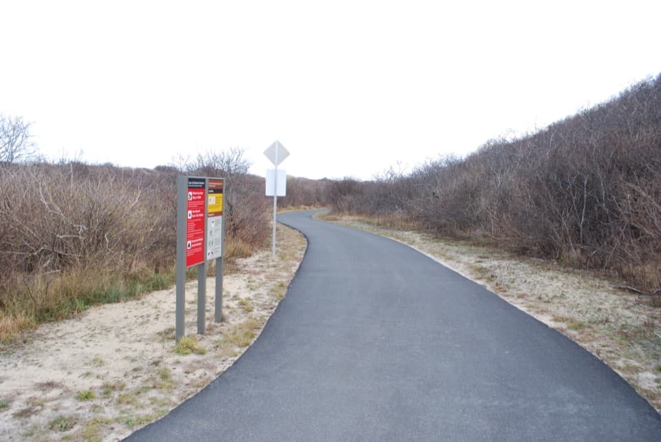 EasyHead of the Meadow Bike Trail2 mi · 30 min · 4.1 mi awayTwo paved miles through coastal woods to the beach.
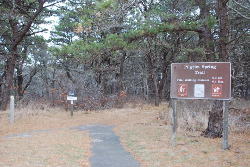 EasyPilgrim Spring Trail0.7 mi · 30 min · 4.5 mi awayA short wooded loop to a bluff view and historic spring site.
 Picnic area · At the trailheadBeech Forest Picnic AreaA picnic-table poem makes this pondside trailhead worth a pause.
 Campground · 0.5 mi awayDunes’ Edge CampgroundA wooded base near Cape beaches, bike trails, and Provincetown.
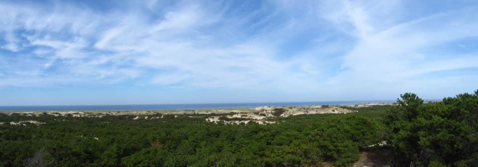 Visitor center · 0.8 mi awayProvince Lands Visitor CenterA 360-degree view makes the northern dunes click into place.
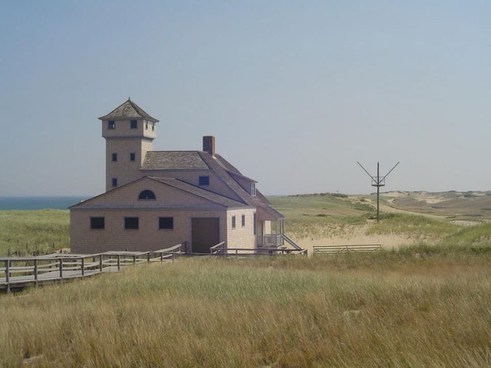 Sight · 1.5 mi awayOld Harbor Life-Saving StationRooms, boats, and a tower put the rescue work in view.
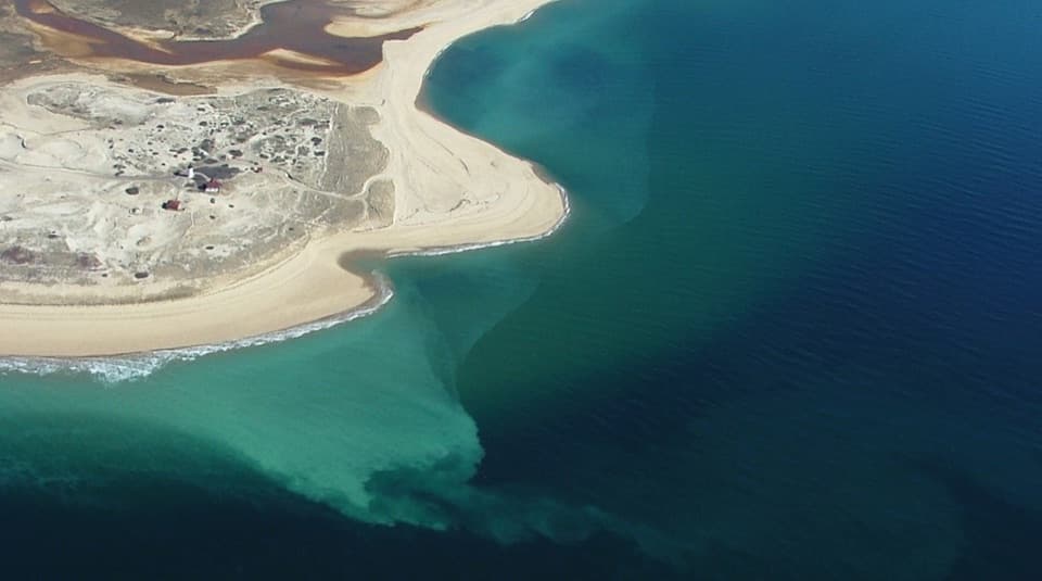 Beach · 1.5 mi awayRace Point BeachDune-backed sand, seals offshore, and sunset over open Atlantic water.
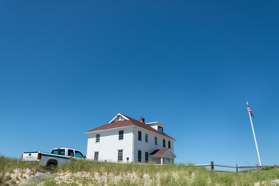 Ranger station · 1.6 mi awayRace Point Oversand Permit StationSort out your permit before taking Race Point's oversand drive.
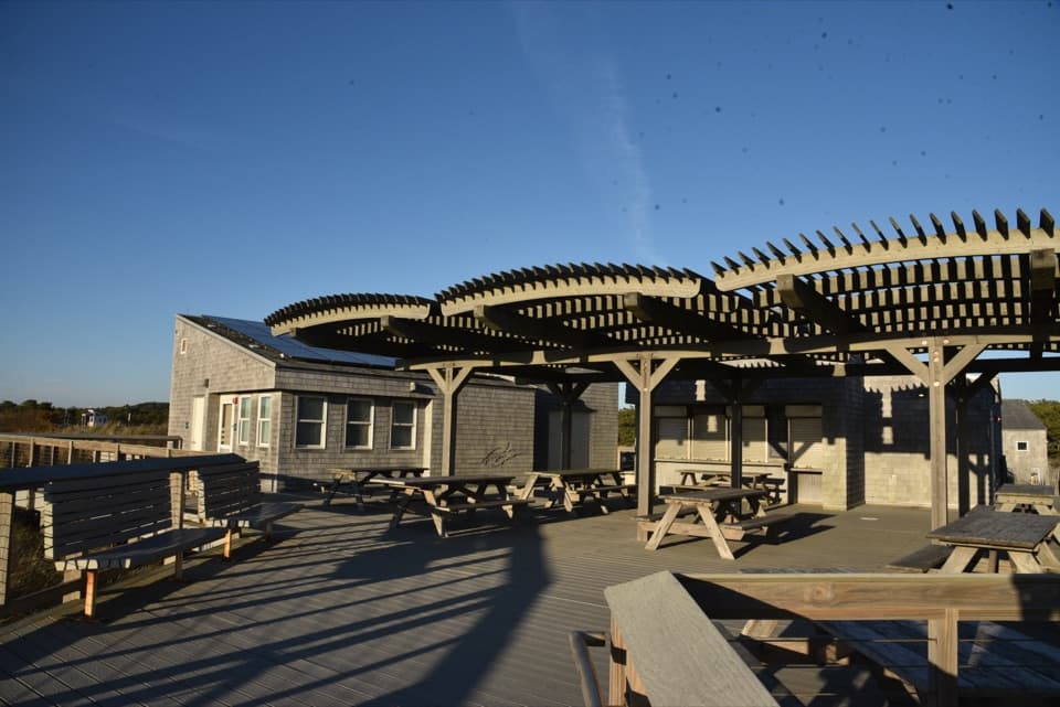 Food · 1.9 mi awayHerring Cove Snack BarA beachside concession beside the bathhouse and picnic area.
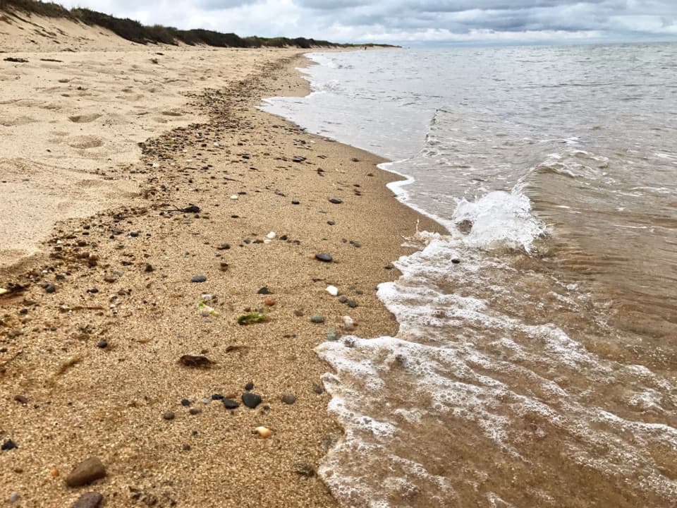 Beach · 1.9 mi awayHerring Cove BeachA west-facing beach with gentler Cape Cod Bay water and sunsets.
Parkwolf’s Cape Cod ranking

The audio tour guide for the drive, plus offline maps, trails, and wildlife heatmaps for when the signal drops.