
Place · 0.6 mi away
Moderate
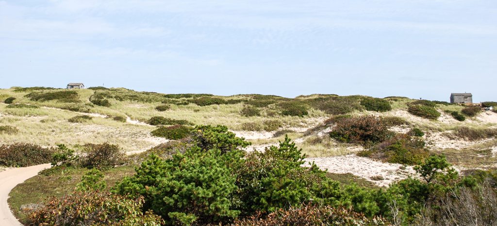
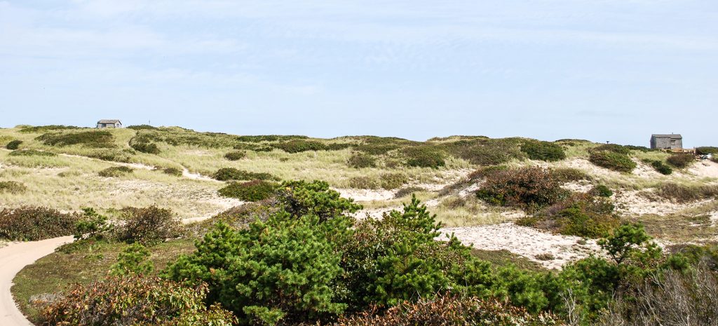
This is the classic soft‑sand walk across Cape Cod’s rolling dunes to the Atlantic. Expect a short, punchy workout: roughly 1.9 miles total, out‑and‑back, with about 157 feet of up‑and‑down in loose sand. It’s unmarked, exposed, and slower than it looks—plan extra time if you stop to savor the views or continue onto the beach.
Big sky, sculpted dunes, and a sense of solitude that feels far from town. On the beach side, hikers frequently spot seals cruising just offshore. Along the way you may glimpse the area’s famed dune shacks—weathered cabins scattered through the sand—part of a 1,960‑acre historic district. There are 19 shacks here (18 owned by the park), most small and rustic, often perched on pilings. They’re lived in seasonally and treasured for their quiet; admire from a distance and keep to established paths.
Cape Cod is a young, sandy landscape built by ice‑age deposits and constantly reshaped by wind and waves. That’s why the trail undulates and why footing is all sand—this place is always on the move. It’s part of the magic, and part of the challenge.
Cool, overcast, or early/late‑day outings are the sweet spot—better light on the dunes, less heat, and fewer people. Summer afternoons can feel desert‑hot with no shade. Sunset here is gorgeous if you’re comfortable navigating back in soft sand.
This is a social route, not an officially maintained, signed trail. Navigation can be confusing in fog; download an offline map and follow existing tracks. Stay off vegetation—those plants hold the dunes together. Do not approach or enter any shacks. Dogs are allowed on leash (6 ft); expect seasonal beach closures for nesting and staging shorebirds from April 1 through October 15—obey day‑of postings.
No facilities, limited cell service, and very limited parking. Bring plenty of water, sun protection, and footwear that can handle deep, shifting sand. On warm, still days, biting flies can be a thing on the beach—pack repellent.
Short, unique, and memorable—this is a great “wow for the effort” walk if you’re okay with deep sand and a steep initial climb. If you want something firmer underfoot or easier navigation, consider other nearby seashore walks; if you crave big views and a touch of Cape Cod history, this one delivers.
Roadside pull‑offs along Route 6 near Snail Road; tiny trailhead area with few spots and additional shoulder parking. No facilities.
Entire route is deep, hot sand with a steep initial dune; unmarked social trail can be confusing in fog; full sun exposure, no water, spotty cell service, and very limited parking. Respect closures for shorebirds and do not approach occupied dune shacks.
Place · 0.6 mi away
Place · 1.3 mi away

Place · 1.5 mi away
Place · 2.2 mi away

Easy · 1.5 mi away
Challenging · 2.7 mi away
Moderate · 2.7 mi away
Easy · 2.8 mi away

Parkwolf Tour Guide
