Parking
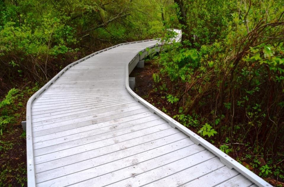
Start at the small Hatches Harbor access off Province Lands Road in Provincetown, not the Race Point Beach lot. Only a few spaces are reported.
#5 of 32 trails in Cape Cod
Cape Cod National Seashore, MA
Cross the marsh, climb the dunes, and find Race Point Light.
Overview
Map & elevation
Plan your hike

The highest, rockiest slopes around here are a summer buffet for grizzly bears.
Cape Cod Tour Guide
Parkwolf is a GPS audio tour guide for Cape Cod National Seashore. As you drive, it chimes in with what’s ahead: hidden gems, upcoming stops, history, geology, and wildlife, right through your car’s speakers.
See the Cape Cod audio tourRecorded for this trailhead
Hatches Harbor Trail to Race Point Light“You're approaching the Hatches Harbor trailhead, where a walk through marsh and dunes leads to Race Point Light.”
Plays as you drive up to this trailhead in the Parkwolf Cape Cod Tour Guide.
More stories near here in the app
“Fantastic app with many points of information… It’s great to just turn on while you’re driving and it gives you an audio tour of the national Park. We love it!!!!”


Trail guide
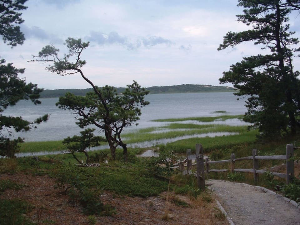
Hatches Harbor Trail is a sandy out-and-back from Province Lands Road to Race Point Light, crossing scrub pine, salt marsh, a raised dike and the outer dunes. Plan on about 3.5 miles round trip and 2 to 3 hours. Published totals run from 3.3 to 3.5 miles; the longer estimate describes the full lighthouse outing used here. The low elevation makes it look easier than it feels: loose sand slows the walk, and the final approach climbs the route’s one steep dune. There is little shade. Go if you want a changing coastal walk that ends at a remote light; if you only want the marsh, you can turn back at the dike and skip the longer sandy finish.
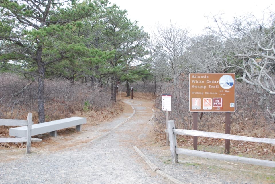
The route starts on an old fire road through low scrub pine. The trees do not make much shade, so most of this open walk is in full sun. After about 0.3 mile the packed sand loosens into beach sand; another quarter mile brings you out of the trees onto the marsh dike. The change is striking: a simple sandy track gives way to a raised earth embankment with wide views over tidal creeks and salt grass. Take water and sun protection; the sand makes steady progress harder than the map suggests.
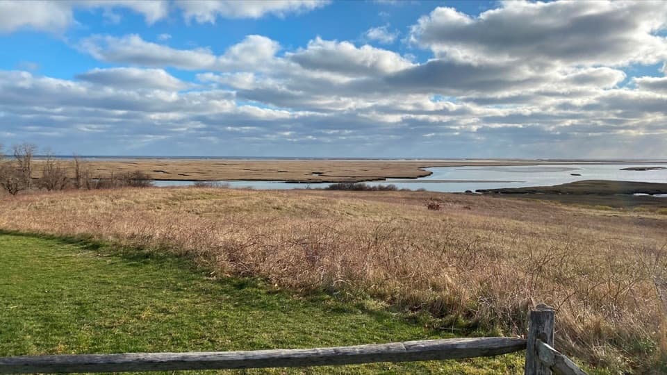
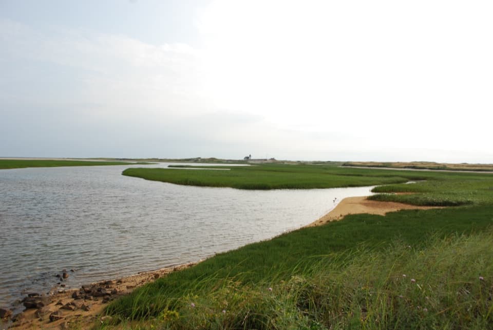
The dike dates to the 1930s, when it was built to control water and drain part of the marsh. That cut off tidal exchange on its northern side and let freshwater plants, including invasive common reed, spread. Restoration began in 1987 with removal of a tide gate. Four larger culverts were installed in 1999, reopening the marsh to salt water; the reed began to die back as estuary life returned. The dike is the most level stretch and the best place to pause for the pattern of channels and grasses. At its far end, the buildings at Race Point Beach appear small across the marsh.
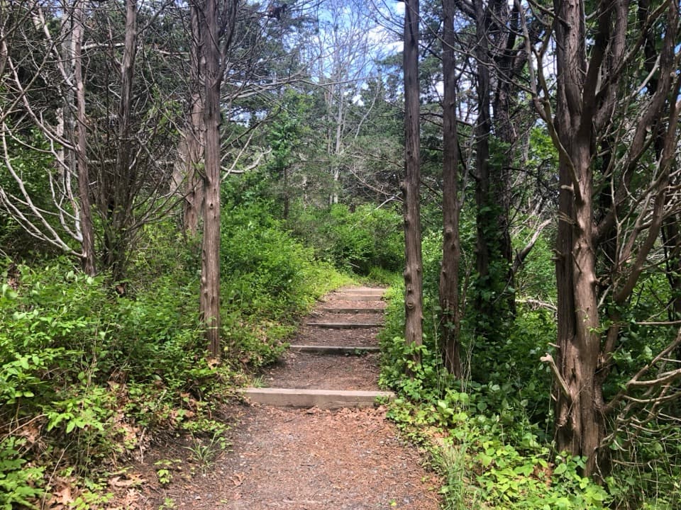
The route stays fairly flat until roughly 1.25 miles, then climbs a steep sand dune, its only substantial hill. Beyond the crest, the distinct tread fades into open sand. The lighthouse is not immediately obvious from every dip between dunes, so note the direction you came from and where you leave the track for the return. A sandy road toward the light gives the last stretch a firmer line, but loose beach sand continues to slow you. The low ground near the dune can hold water around high tide; do not try to ford a flooded section. Check tide timing and posted access notices before setting out, and turn around if the crossing is submerged.
Race Point Light is the payoff: a white tower and keeper’s house standing beyond the dunes, with marsh water and open coast in the foreground. The first lighthouse here dates to 1816; the current 45-foot tower, with a cast-iron exterior and brick interior, replaced it in 1876. The brick fog-whistle house beside it dates to 1888. The light was electrified in 1957 and automated in 1972. From the marsh side, frame the channel and grasses in front of the distant light; from the dune approach, the tower gives scale to the open sand. The access is remote, not a quick roadside lighthouse stop.
The salt marsh may look uniform from a distance, but it supports fish, shellfish, crabs and lobsters as well as birds. The tide channels and broad grassy flats are the defining scenery, not a guaranteed wildlife show. Mosquitoes and biting flies can be persistent around the early scrub and marsh, especially in summer, so insect protection is useful. There is no confirmed drinking-water, restroom or food stop on this route; bring what you need from the start. Pets are not permitted on this walking trail.
Wildlife
 461 sightingsGray SealMost seen around 11 AMSighting map
 85 sightingsCoyoteMost seen around 6 AMSighting map
 300 sightingsRed FoxMost seen around 7 PMSighting map
 49 sightingsWhite-tailed DeerMost seen around 6 AMSighting map
 264 sightingsHorseshoe CrabMost seen around 8 PMSighting map
 74 sightingsGreat Blue HeronMost seen around 6 PMSighting map
Sighting maps show where each species has been reported across Cape Cod. Wildlife moves, so no sighting is guaranteed.
Keep exploring
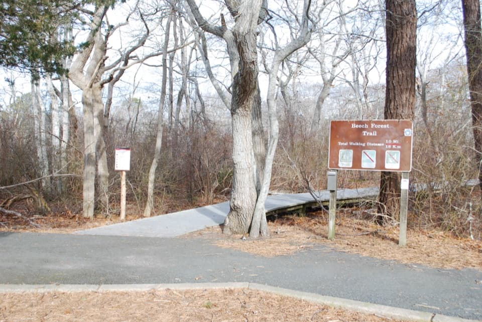 EasyBeech Forest Trail1 mi · 1 hr · 1.3 mi awayA quiet pond loop with spring birds and one steep dune climb.
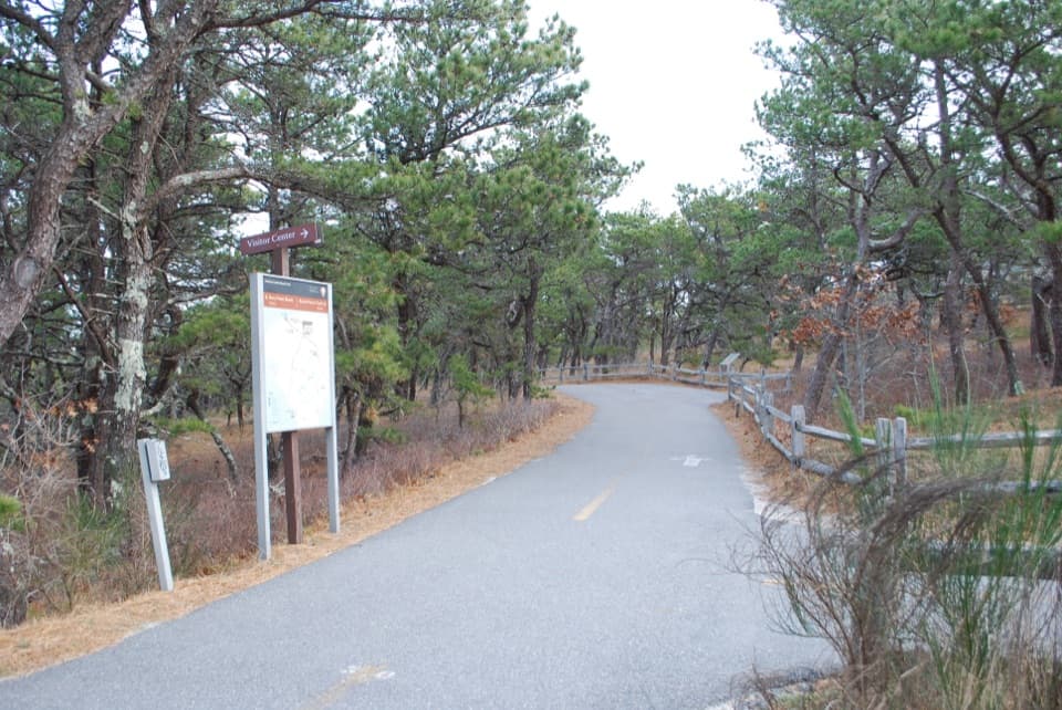 ModerateProvince Lands Bike Trail5.5 mi · 2.5 hr · 1.3 mi awayA paved 5.45-mile loop through dunes, pines, and cranberry bogs.
 ModerateWood End Lighthouse Trail3 mi · 2.5 hr · 2 mi awayA rough, tide-exposed dike leads through sand to Wood End Light.
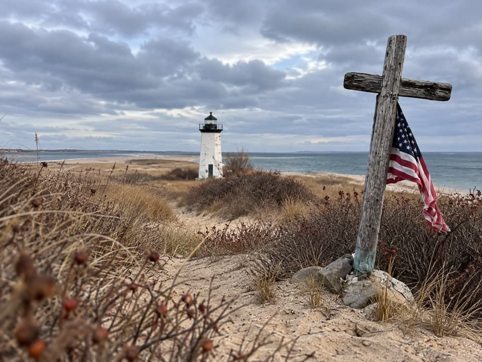 ModerateLong Point Lighthouse Trail5.5 mi · 4 hr · 2 mi awayA rocky dike and soft sand lead to Long Point Light.
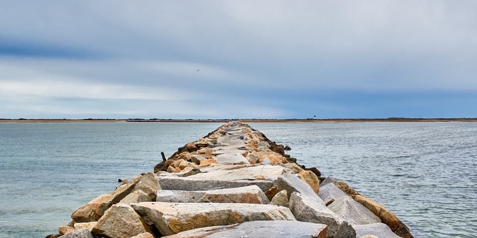 ChallengingProvincetown Causeway2.3 mi · 1.5 hr · 2 mi awayGranite blocks cross the harbor; the return is the same rough route.
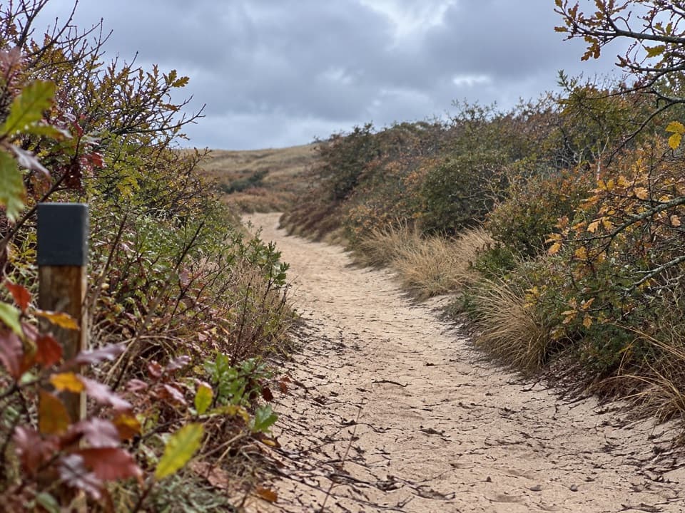 EasyHigh Head Road Trail0.9 mi · 30 min · 5.3 mi awayA short sandy path to the bay, with deep sand underfoot.
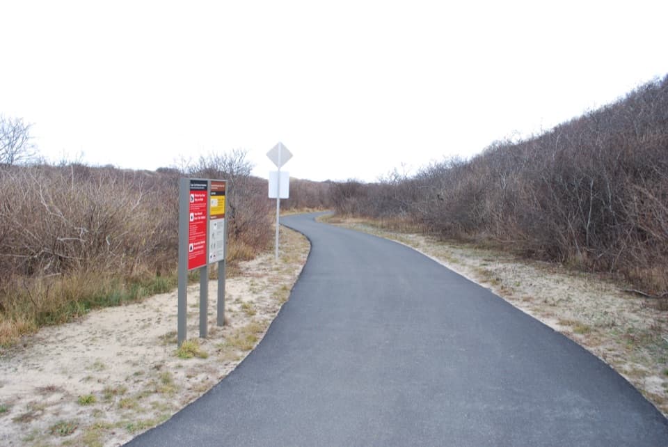 EasyHead of the Meadow Bike Trail2 mi · 30 min · 5.3 mi awayTwo paved miles through coastal woods to the beach.
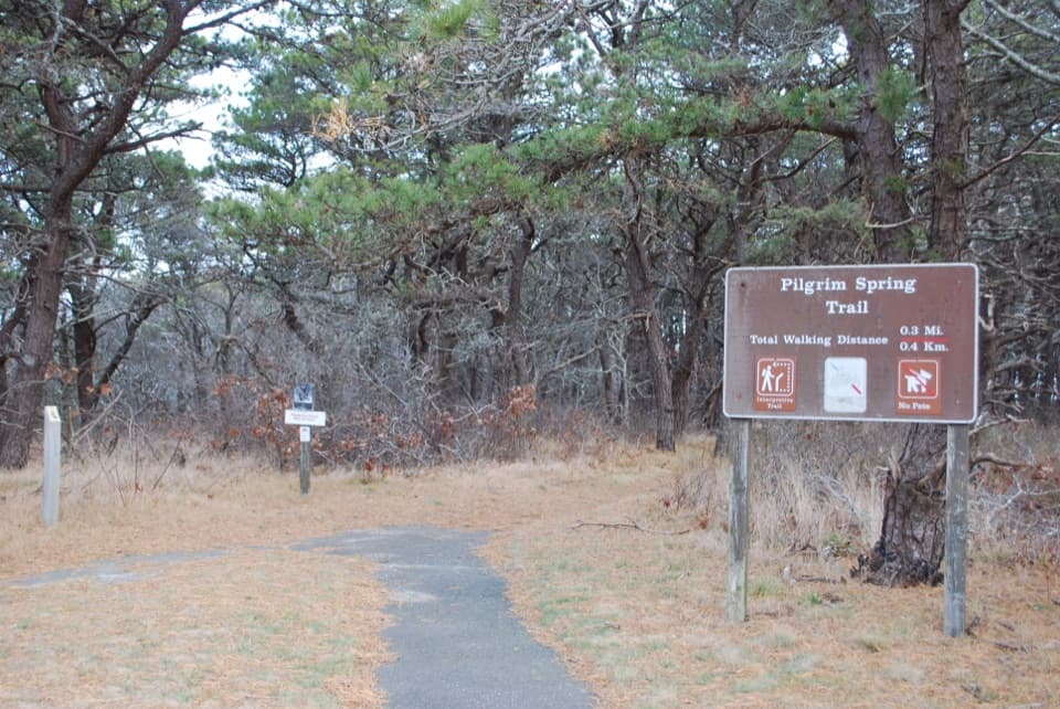 EasyPilgrim Spring Trail0.7 mi · 30 min · 5.7 mi awayA short wooded loop to a bluff view and historic spring site.
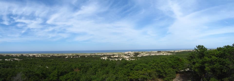 Visitor center · 1.1 mi awayProvince Lands Visitor CenterA 360-degree view makes the northern dunes click into place.
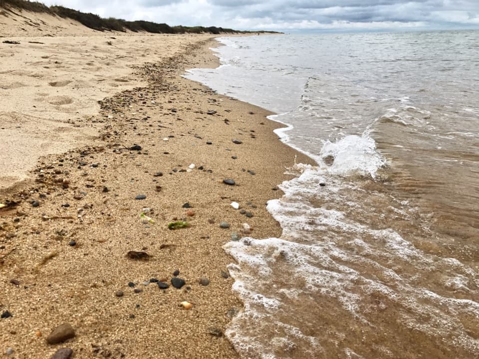 Beach · 1.2 mi awayHerring Cove BeachA west-facing beach with gentler Cape Cod Bay water and sunsets.
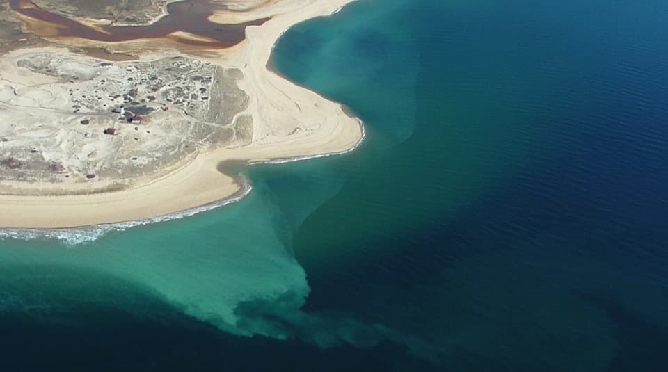 Beach · 1.2 mi awayRace Point BeachDune-backed sand, seals offshore, and sunset over open Atlantic water.
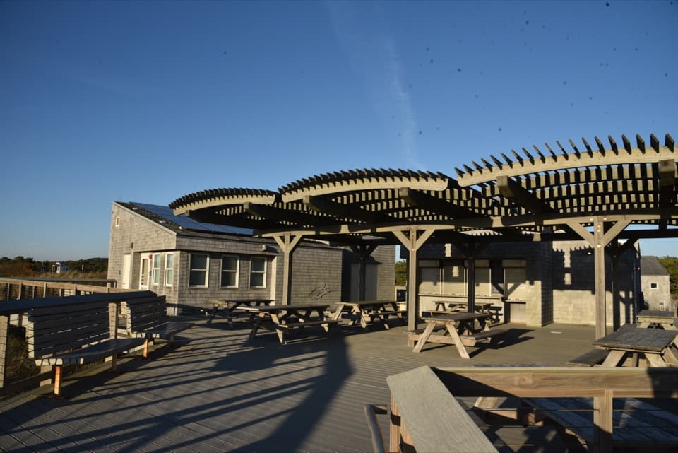 Food · 1.2 mi awayHerring Cove Snack BarA beachside concession beside the bathhouse and picnic area.
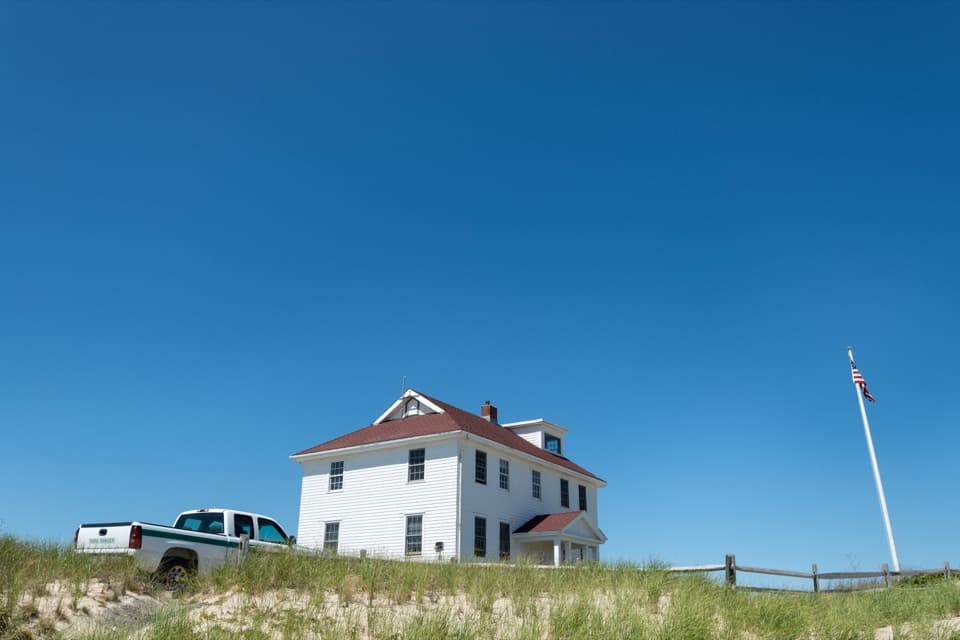 Ranger station · 1.2 mi awayRace Point Oversand Permit StationSort out your permit before taking Race Point's oversand drive.
 Picnic area · 1.2 mi awayBeech Forest Picnic AreaA picnic-table poem makes this pondside trailhead worth a pause.
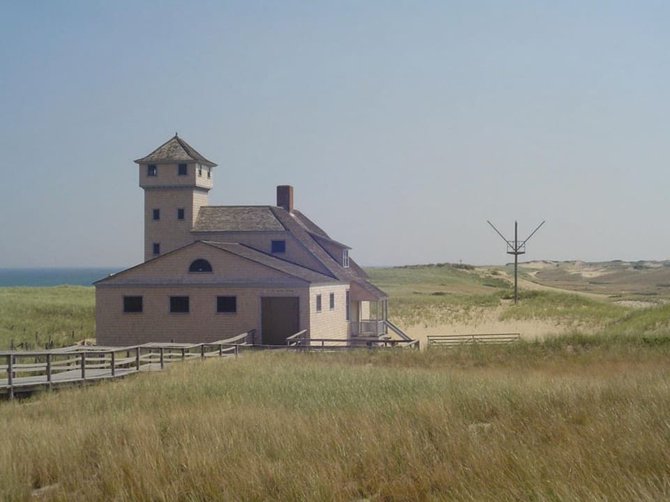 Sight · 1.3 mi awayOld Harbor Life-Saving StationRooms, boats, and a tower put the rescue work in view.
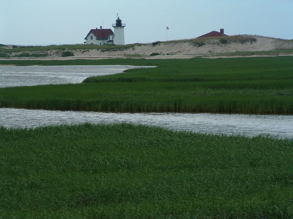 Sight · 1.3 mi awayRace Point LightA keeper's dune buggy once cut the school trip to 30 minutes.
Parkwolf’s Cape Cod ranking

The audio tour guide for the drive, plus offline maps, trails, and wildlife heatmaps for when the signal drops.