
Place · 1.1 mi away
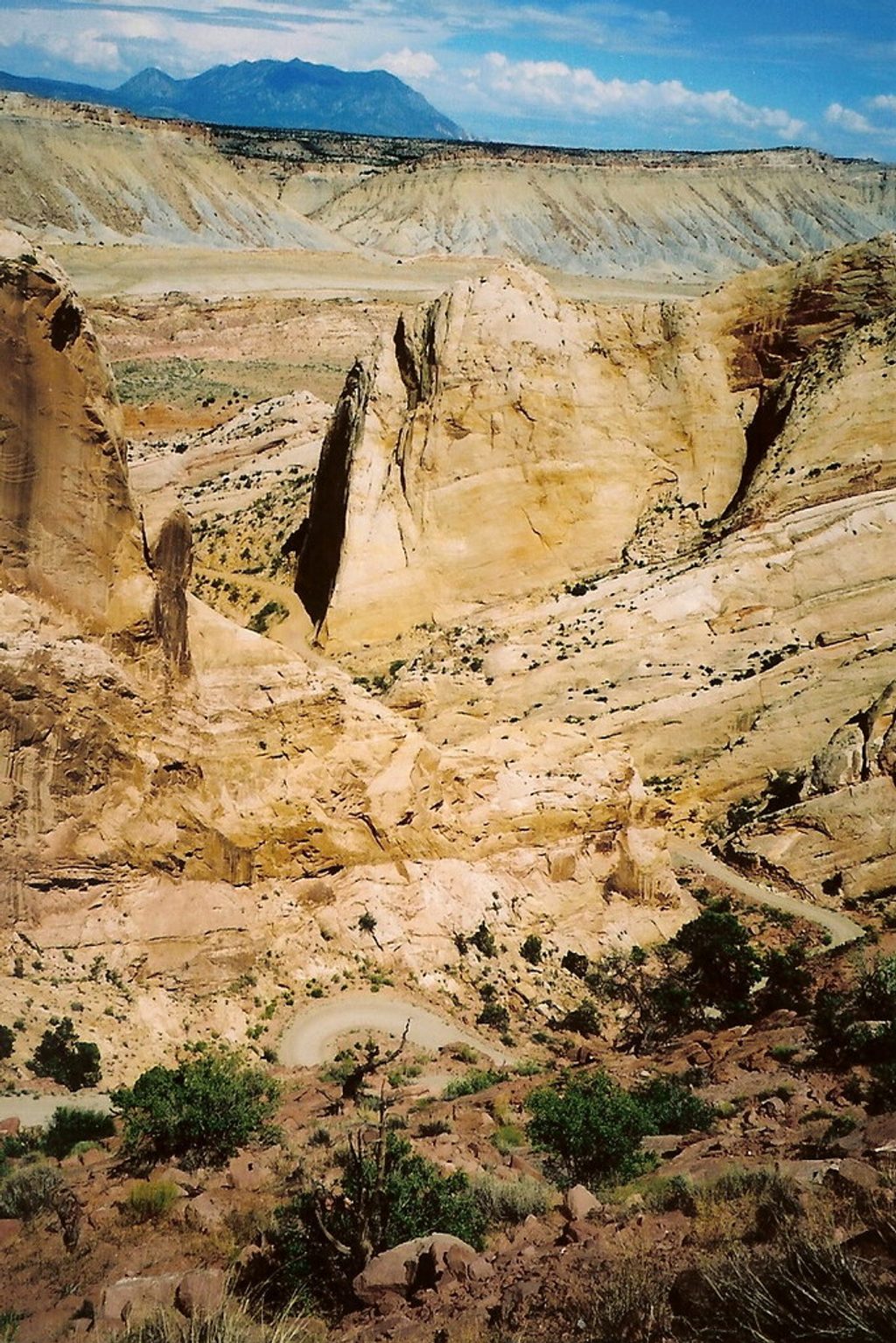
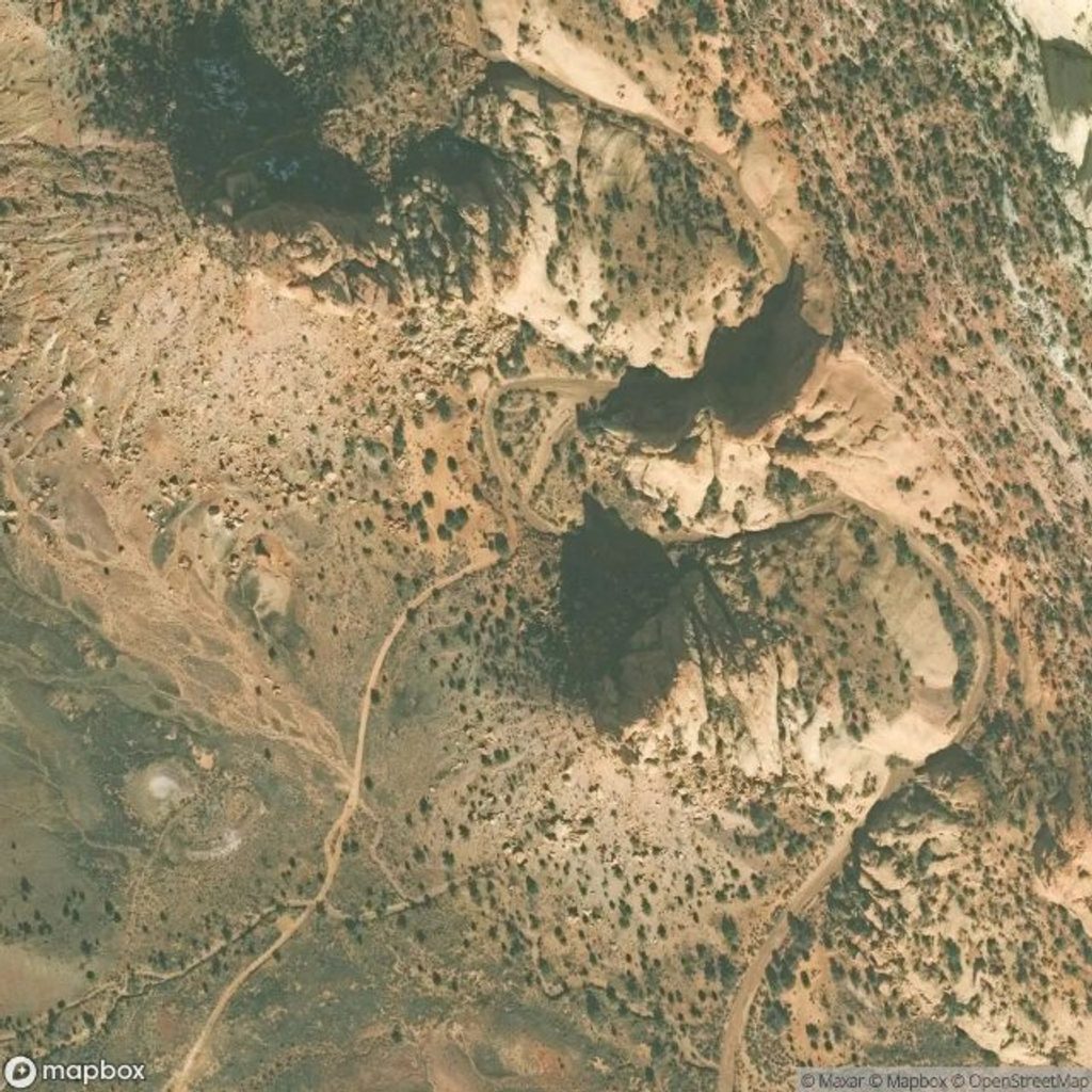
The Burr Trail Switchbacks are a short, steep, unpaved set of zigzags that claw up Burr Canyon and over the Waterpocket Fold. It’s one of the few crossings of this massive monocline, and the drive is as much about geology as it is about scenery—stacked turns, cliffy edges, and big desert panoramas.
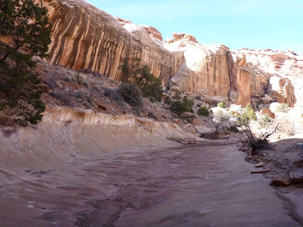
From the top, the views sweep across canyons and slickrock with a grand perspective on the Waterpocket Fold. The climb itself threads a dramatic canyon cut, so you’re literally driving through the structure you’re here to admire.
Inside the park, the road is unpaved and steep; conditions swing with weather. In good, dry conditions careful drivers report it passable in 2WD, but high clearance and 4WD can become necessary after rain or snow. RVs and trailers aren’t a good idea here—tight turns and grades make it a white‑knuckle proposition. A few miles west beyond the top, the road becomes paved toward Boulder.
The area is open around the clock, and it’s generally uncrowded. Midday can see a small bump in activity, but most of the time you’ll have space to yourself. For driving, spring through fall are the safer bets; winter storms or recent rain can make the dirt section slick or impassable. Always check current road conditions before committing.
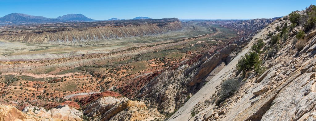
You’re ascending the Waterpocket Fold—nearly 100 miles of uplifted rock bent into a monocline. Burr Canyon’s big notch is where erosion chewed out the Navajo Sandstone, letting this improbable road thread the Fold. The route traces the legacy of John Atlantic Burr and the cattle drives that once defined this country.
Specific sightings aren’t called out for this spot, but the remoteness and low traffic make encounters possible in the surrounding backcountry. Keep your distance and enjoy the solitude.
Place · 1.1 mi away
Place · 2.7 mi away
Place · 2.9 mi away
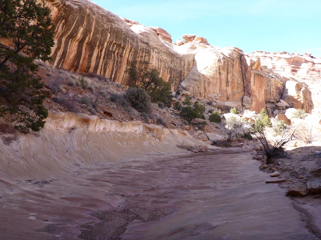
Place · 2.9 mi away
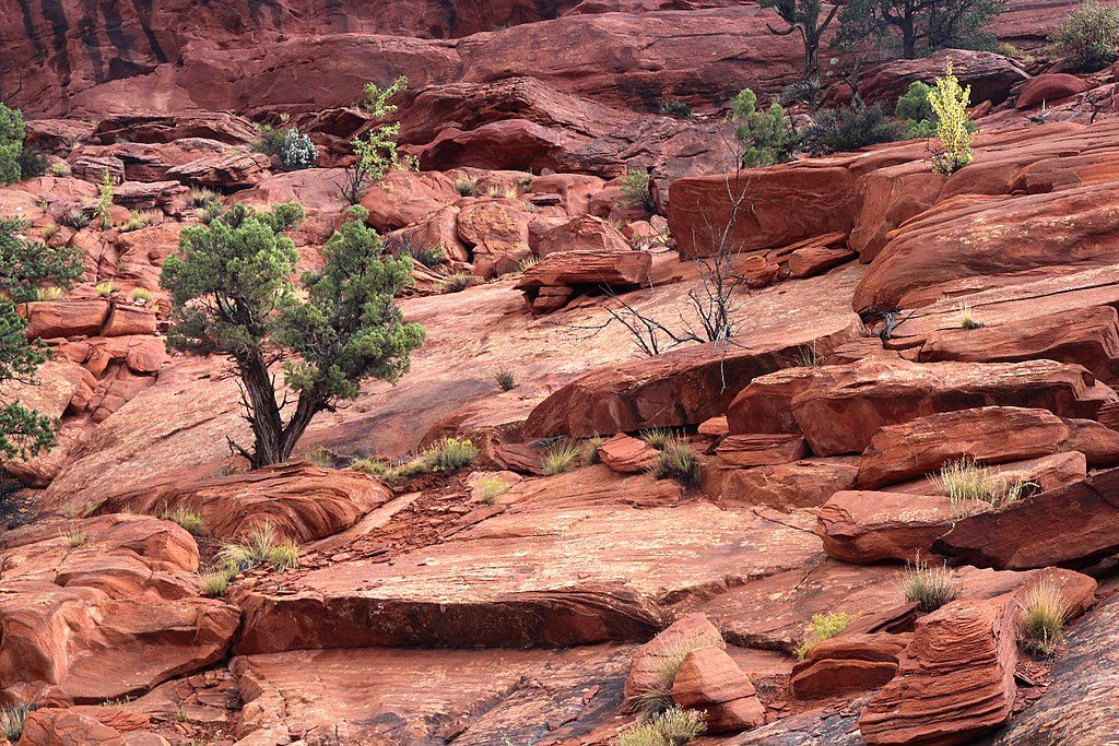
Challenging · 1.1 mi away
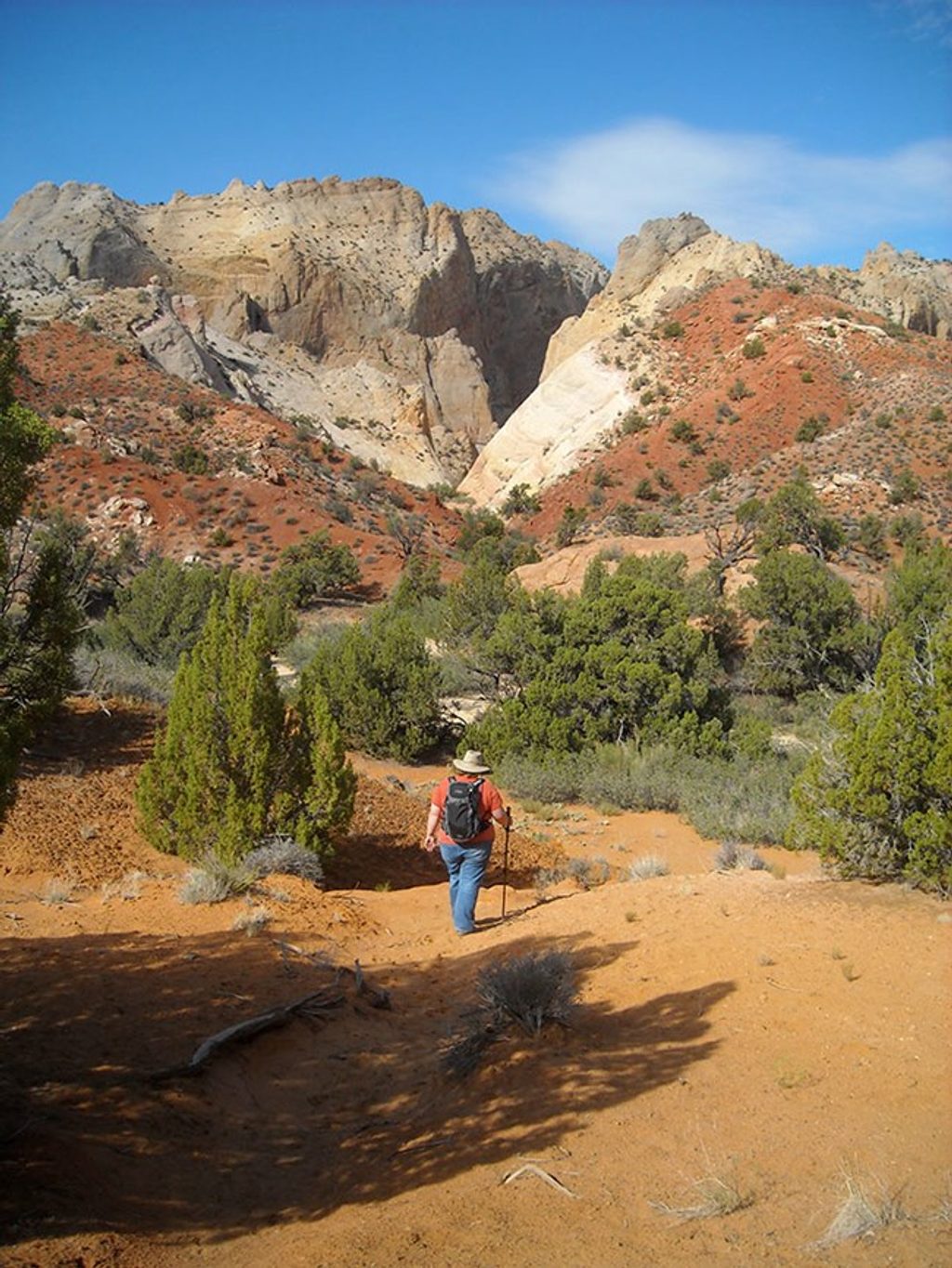
Easy · 1.9 mi away
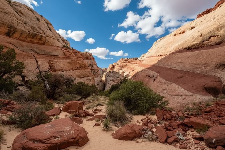
Easy · 2.4 mi away
Moderate · 2.9 mi away

Parkwolf Tour Guide
