
Place · 1.1 mi away
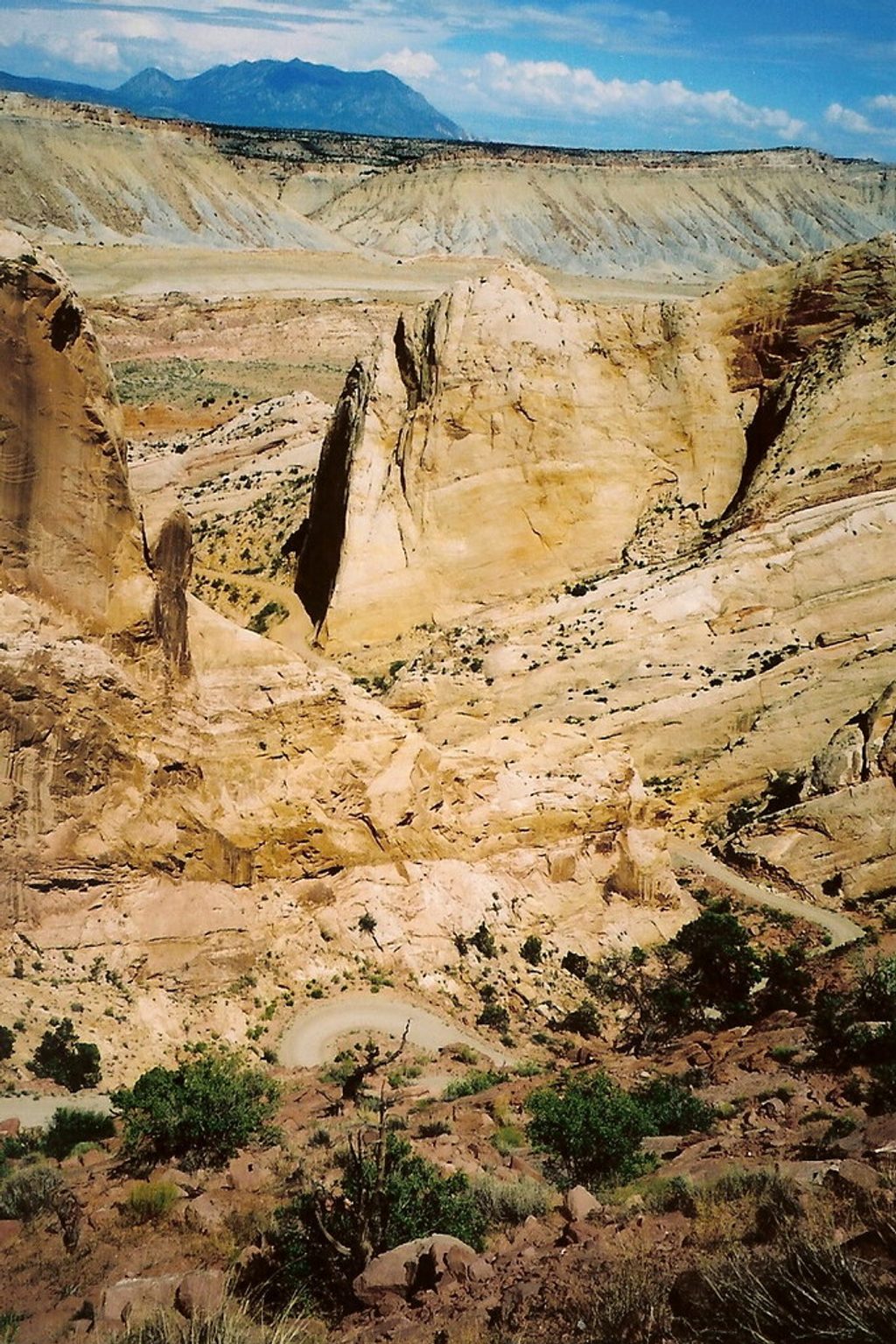
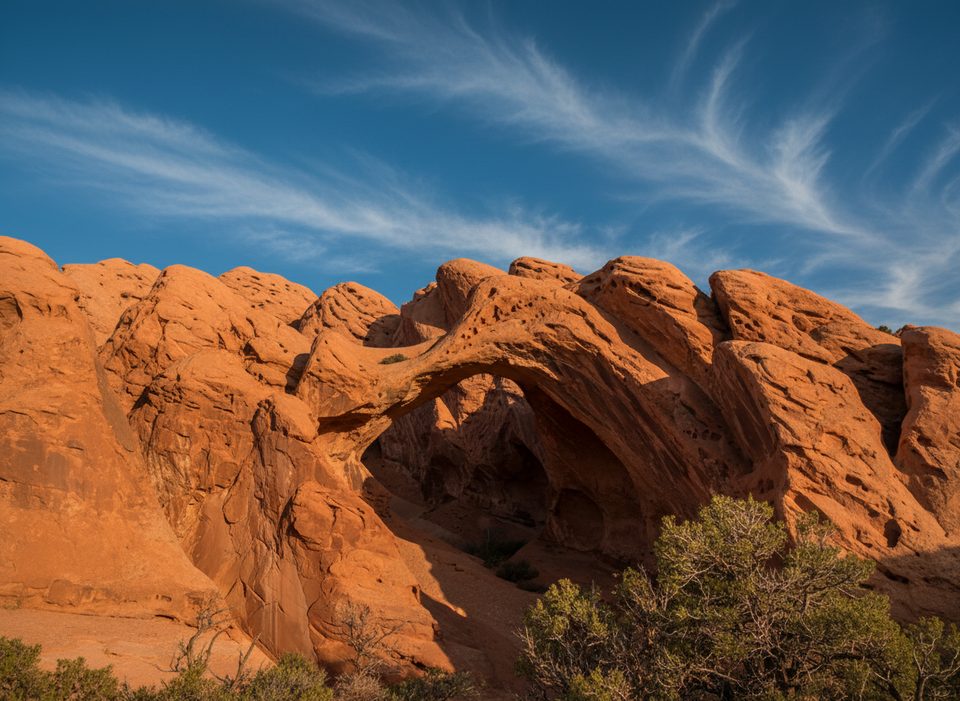
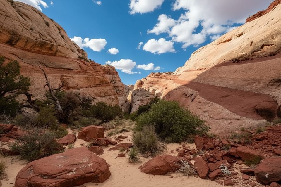
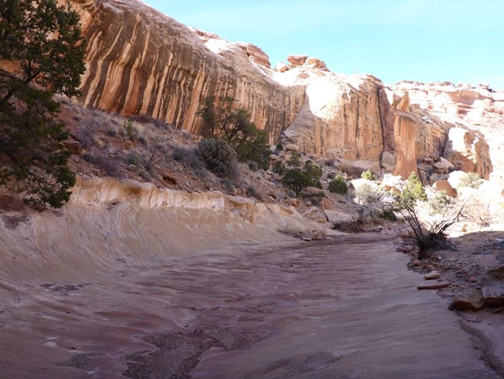
Upper Muley Twist Arch sits in a spectacular, remote canyon that slices along the spine of the Waterpocket Fold. Don’t think of it as a single selfie stop—the arch is part of a rich “arch zone” with fins, domes, short slot-like narrows, and a cairned rim route that delivers huge views. It’s one of the park’s best backcountry showcases for desert geology and solitude.
Note on naming: many maps pin “Upper Muley Twist Arch” near the canyon’s best-known opening, Saddle Arch. Park and nonprofit guides tend to call out Saddle Arch by name while describing several arches visible along this segment. Either way, you’re headed to the same highlight-packed stretch of Upper Muley Twist Canyon.
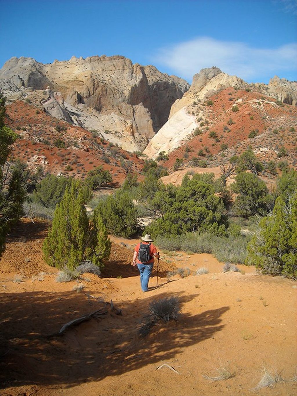
Expect a full-day hike. Depending on how far you can drive the access spur and whether you include the rim loop, most parties log roughly 11–16 miles. The wash is sandy/rocky and the rim is cairned; navigation is generally straightforward if you stay alert, but you’ll want a map/GPS in your pocket. Some sections feel exposed, especially in wind. There is no reliable water.
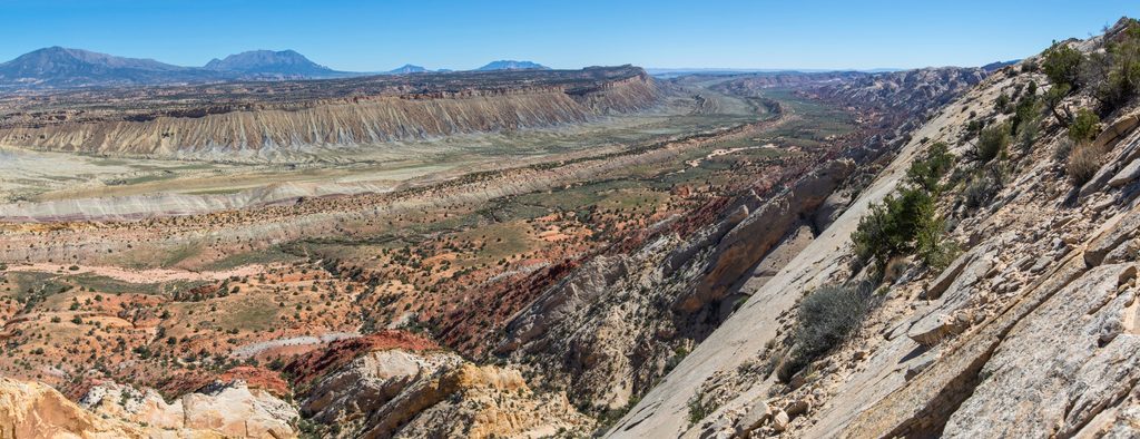
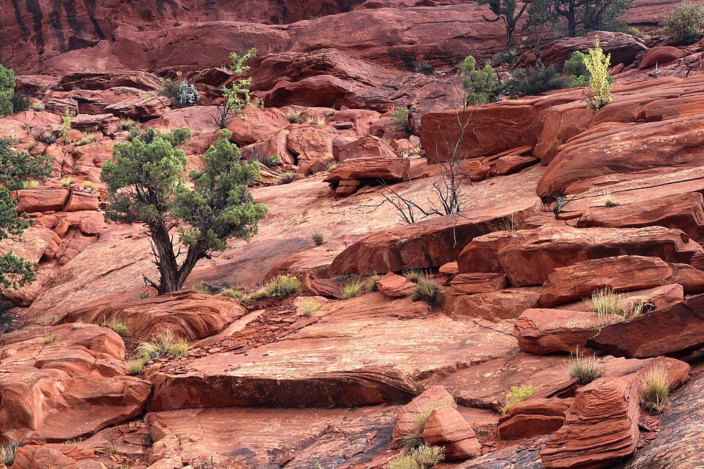
This canyon is a front-row seat to the Waterpocket Fold—one of the world’s long monoclines. Arches and alcoves here are carved mostly in Navajo and Wingate Sandstone where protective layers have eroded away. From the rim, you can read the story in color: uplifted, tilted strata, pastel chevrons, and the muted grays of Mancos Shale beyond.
Reach the Upper Muley Twist Canyon Trailhead via the Burr Trail and the Strike Valley Overlook spur. The spur is rough and sandy, and the clay becomes impassable when wet. Parking is limited and primitive. There are no restrooms, no water, and no services—come fully self-sufficient.
This area is about rock, light, and silence more than critters. Typical canyon-country residents—lizards, birds, small mammals, and the occasional bighorn sheep—may appear, but sightings are hit-or-miss.
Spring and fall bring the friendliest temperatures for such a long, exposed day. Start at first light to bank cool hours and give yourself margin for the rim traverse. Avoid wet periods (the road and canyon become problematic), and be cautious on breezy days when the rim feels more exposed. Crowds are generally light compared to front-country trails year-round.
If you’re here for geology, big sky, and a sense of discovery, this is top-shelf Capitol Reef. If you want an easy, quick arch by the road, look elsewhere. The commitment pays off in spades.
Place · 1.1 mi away
Place · 1.7 mi away
Place · 3 mi away
Place · 3.2 mi away
Challenging · 0 mi away
Easy · 2.9 mi away
Easy · 3.4 mi away
Moderate · 4 mi away

Parkwolf Tour Guide
