
Place · 0 mi away
Challenging
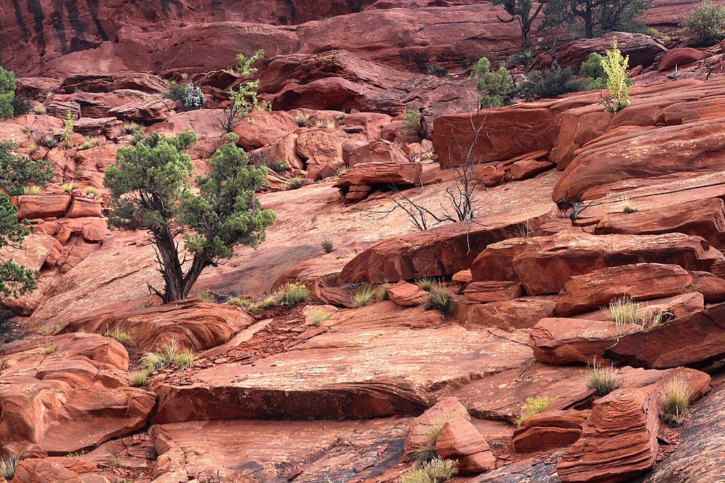
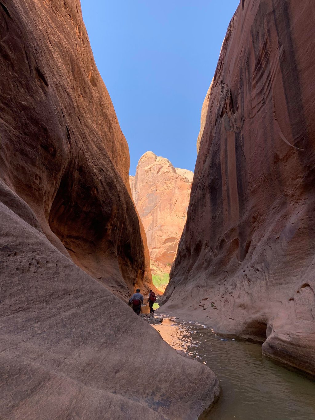
If you want Capitol Reef’s “greatest hits” without the crowds, this is it: a long, remote loop that threads a colorful canyon, climbs slickrock to the Waterpocket Fold’s rim, and serves up arches, narrows, and big-country panoramas. The full loop is typically about 14–15 miles when you start from the closer 4WD trailhead, but total distance varies by where you can park and the options you choose—expect roughly 11–16 miles total. It’s a full-day outing (plan on around 8 hours for strong groups) with real route-finding, exposure to sun, and short scrambly sections.
The trail rides the spine of the Waterpocket Fold, a massive monocline where stacked Navajo and Wingate sandstones were tilted, uplifted, and sculpted into fins, arches, and narrow slots over millions of years. In the canyon you’ll walk sandy wash between glowing walls; on the rim you’ll cruise open slickrock with far-ranging views toward the Henry Mountains. Keep an eye out for arches—an impressive unnamed one appears before the famous Saddle Arch—and for photogenic narrows sections in the upper canyon.
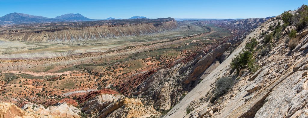
From the Upper Muley Twist Canyon Trailhead (near the Strike Valley area), many hikers first tack on the short spur to Strike Valley Overlook (~0.9 miles round-trip) for an outrageous panorama of the Fold. Back on the main route, hike up the wash about 1.7 miles to Saddle Arch, the key landmark. Here, an NPS sign points to the rim route that creates the loop. Most hikers go clockwise: continue up the canyon, then climb to the rim, traverse airy slickrock, and drop back to rejoin the approach near Saddle Arch. Expect cairns and occasional signs, but don’t count on constant markings—navigation on the rim can be tricky and cairns can be sparse. The canyon includes two slot sections; the second is blocked by a dryfall that turns most parties around unless they take a steep bypass that includes moki steps—only for confident, experienced hikers.
This is a demanding desert hike best suited to intermediate and experienced hikers. You’ll encounter sandy wash walking, uneven slickrock, short scrambles (light Class 2), and sustained exposure to sun and heat. The payoff is solitude and some of the park’s most dramatic scenery. If you’re new to long desert loops, consider hiking a shorter out-and-back to Saddle Arch and beyond, then sample the rim route only as far as you’re comfortable.
Spring and late fall bring the most pleasant temperatures. Summer can be brutally hot and adds serious flash flood risk in the narrows. Start at dawn for cooler temps and time to navigate without rushing. Avoid any stormy forecast; wet roads can become impassable and slot sections are no place to be during rain.
Park at the Upper Muley Twist Canyon Trailhead near the Strike Valley area. A high-clearance 4WD spur typically reaches the closer parking; if you have 2WD, park earlier along the spur off the Burr Trail and walk the road, which can add several miles. The road may be impassable after rain.
No water, full sun exposure, and real route-finding. Flash floods are a risk in narrows; never enter with storm chances. The upper slot’s dryfall requires an exposed bypass with moki steps—skip it if you’re not confident. Cairns on the rim are intermittent; carry an offline map/GPS.
Place · 0 mi away
Place · 1.1 mi away
Place · 1.7 mi away
Place · 3 mi away
Easy · 2.9 mi away
Easy · 3.4 mi away
Moderate · 4 mi away
Challenging · 11.4 mi away

Parkwolf Tour Guide
