
Place · 0.5 mi away
Easy
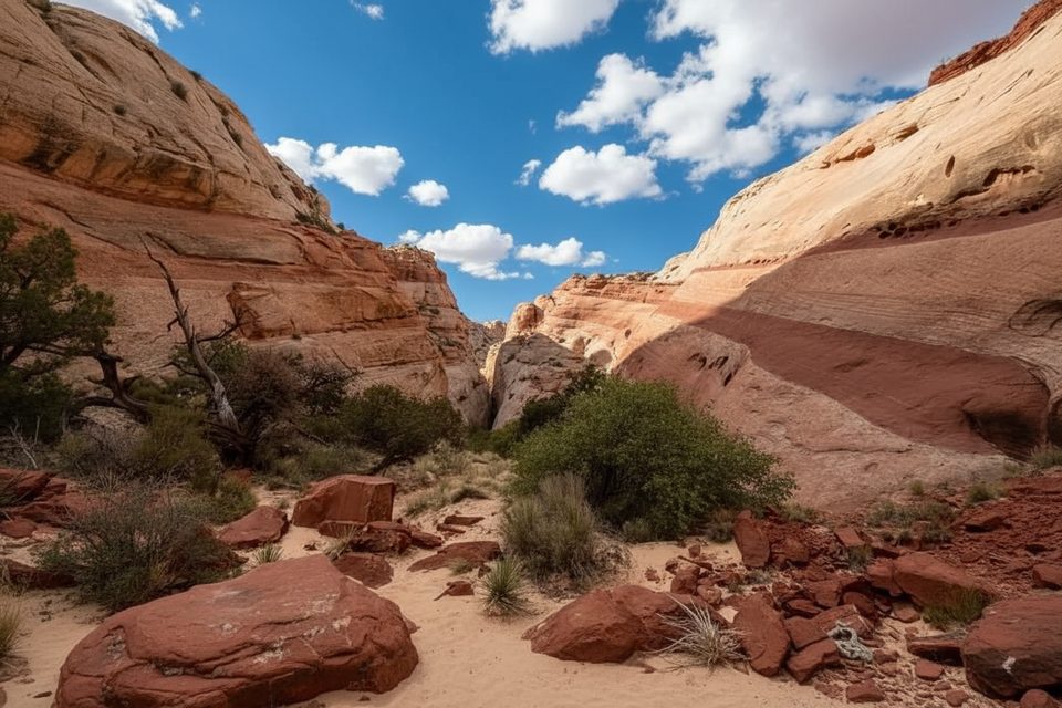
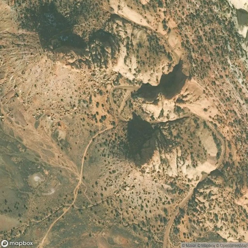
Headquarters Canyon is a short, non‑technical slot canyon on the remote east side of Capitol Reef’s Waterpocket Fold. Expect a mellow approach across open desert flats into a sandy wash before the narrows tighten and the walls rise high above you. It’s a classic taste of Navajo Sandstone narrows without ropes or exposure. The hike is about 2.2 miles round‑trip, out‑and‑back, and most hikers take 1–2 hours depending on how far they poke into each slot section and how much time they spend exploring.
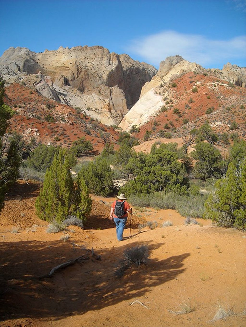
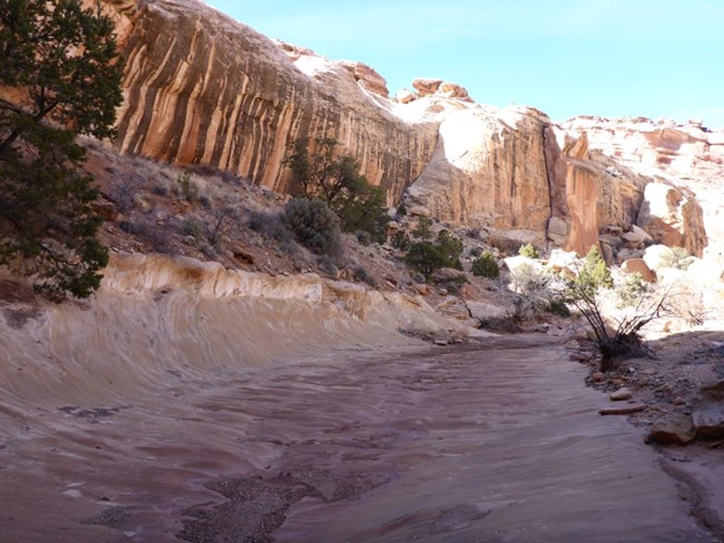
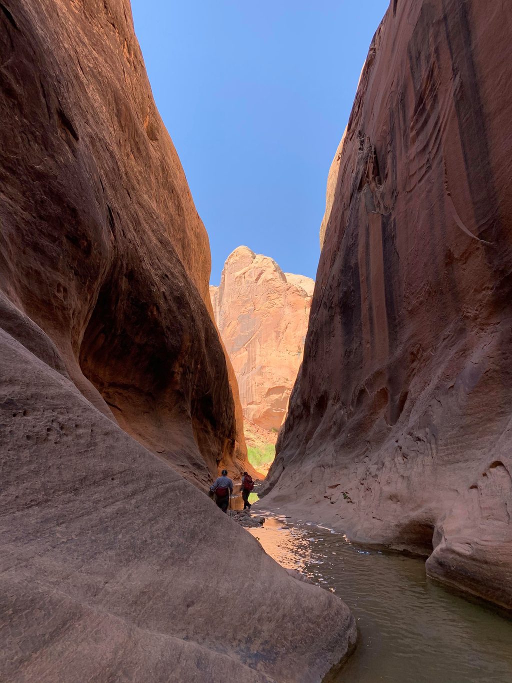
The star here is the slot itself: narrow, cool passageways carved in Navajo Sandstone. Light is limited, giving the walls a darker, moody tone with swirls and bands that pop where sun does reach in. The approach crosses sagebrush flats, skirts slickrock domes, and drops into a colorful wash before the canyon pinches. You’ll encounter short narrows in close‑by forks; many hikers explore both. Near the upper end, expect a couple of minor boulder jams and a brief upclimb before an impassable cliff signals the turnaround.
From a small roadside pullout, follow an obvious path across open desert to the wash. Route‑finding is straightforward, but the tread can be sandy and indistinct in places. Once in the slots, temperatures drop and the vibe turns quiet and cool—great relief on a hot day. There’s no technical climbing and typically no standing water, but narrow sections can change with storms.
Spring and fall bring the most comfortable temperatures. In summer, start early: the approach is exposed and hot, but the narrows offer shade once you’re in. Winter is possible, though cold temps and occasional ice in the shade can make footing slick. Year‑round, plan around weather and road conditions—summer monsoons and recent rain can impact both the slots and the unpaved access road.
Absolutely—if you’re already exploring the Waterpocket District or driving Notom–Bullfrog Road, this is a quick, rewarding slot with real solitude. If you want a longer day or different flavor of narrows, nearby Surprise Canyon offers a comparable experience along the same stretch of the fold.
Small signed pullout along Notom–Bullfrog Road about 35 miles south of Highway 24; space for roughly three vehicles and high verges prevent roadside overflow.
Slots are subject to flash floods—check weather; tread can be sandy/indistinct, minor scrambling near the end, and do not rely on unofficial cairns.
Place · 0.5 mi away
Place · 0.6 mi away
Place · 2.4 mi away
Place · 3.4 mi away
Easy · 0.5 mi away
Moderate · 0.6 mi away
Challenging · 3.4 mi away
Challenging · 8.3 mi away

Parkwolf Tour Guide
