
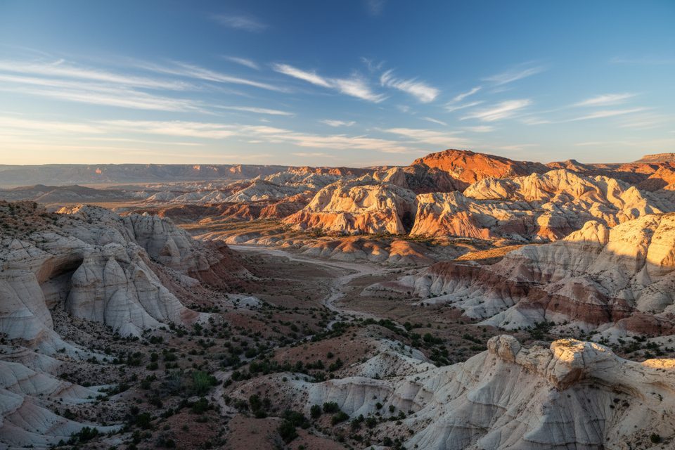
Place · 6.9 mi away
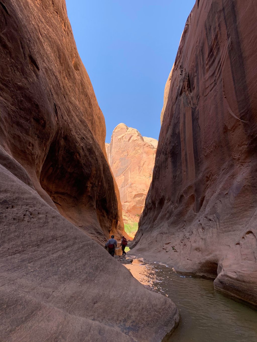
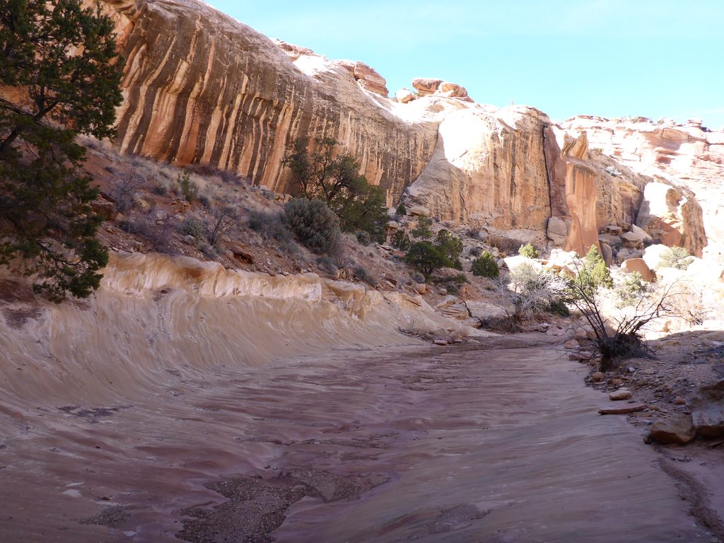
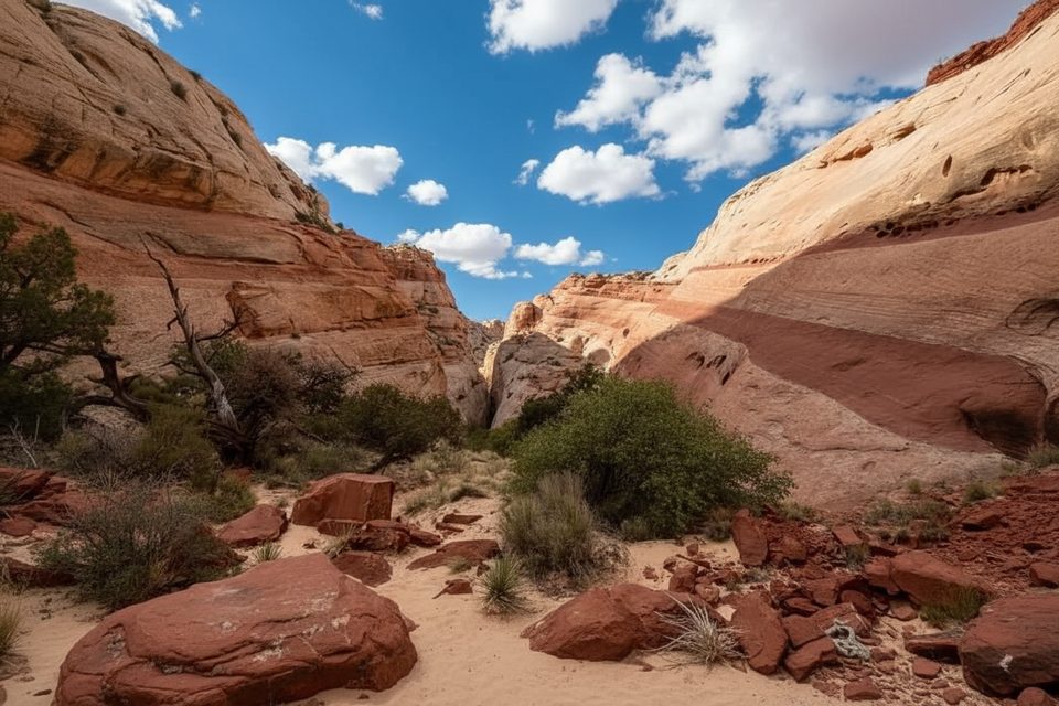
Halls Creek Narrows is Capitol Reef’s wild, southern showpiece: a remote, water-carved corridor incised into pale Navajo Sandstone with walls soaring up to roughly 1,200 feet. Expect a true backcountry experience—cool shade, flowing water, and solitude far from pavement.
The narrows themselves span about 3–3.8 miles of tight, twisting canyon with perennial water. You’ll wade much of it—ankle to waist-deep typical, with occasional chest-deep pools and potential swims depending on recent conditions. The combination of sculpted stone, reflected light, and constant water makes this feel like a desert oasis.
Most parties treat Halls Creek Narrows as a 2–3 day backpack, roughly 22 miles round trip. A long, mostly cross-country approach leads from the high rim down to the broad Halls Creek valley and onward to the start of the narrows. Multiple approaches are used; the overlook route is the standard, and an alternate “airstrip” approach exists. The route is largely unmarked—carry maps/GPS and be ready to navigate without cairns.
Access is via the Notom–Bullfrog Road to the Halls Creek Overlook area. The final miles are rough; high-clearance 4WD is strongly recommended, and roads can become impassable when wet. There are no services at the trailhead.
This is true primitive travel. Free backcountry permits are required. There’s no car camping at the trailhead and no developed camps or amenities in the canyon. Dispersed backcountry camping is the norm—choose durable sites well above washes and pack out everything.
The narrows deliver classic Waterpocket Fold geology—smooth, light-colored Navajo sandstone, sinuous walls, and a ribbon of water. The riparian corridor supports lizards, amphibians, and a variety of birds, with desert mammals most active at dawn and dusk.
Early spring and late fall bring cooler temps, beautiful light, and the best chance for solitude. Aim for dry forecasts outside the heart of monsoon season. Light is softest in the first and last hours of the day; midday shade within the narrows can also be pleasantly photogenic. Crowds are minimal year-round, but weekdays further increase your odds of having it to yourself.
Place · 6.9 mi away
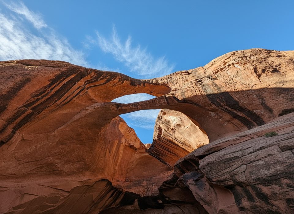
Place · 7.2 mi away
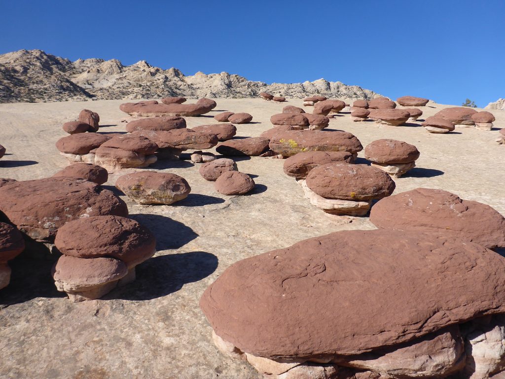
Place · 9.8 mi away
Place · 14.9 mi away
Moderate · 6.9 mi away
Challenging · 6.9 mi away
Moderate · 14.9 mi away
Easy · 15.2 mi away

Parkwolf Tour Guide
