Parking
Start at Halls Creek Overlook trailhead. The remote approach includes a rough final three miles that require a high-clearance four-wheel-drive vehicle; parking capacity is not published.
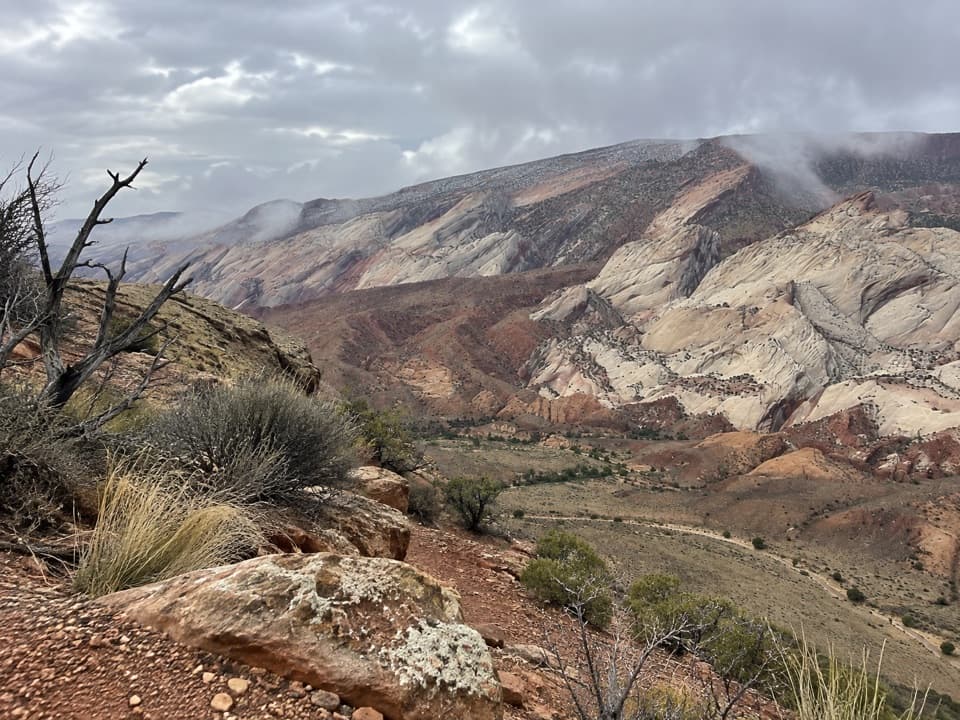
Capitol Reef National Park, UT
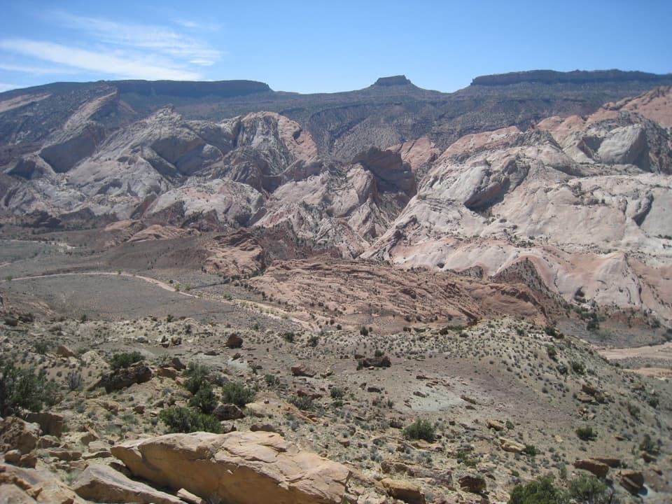
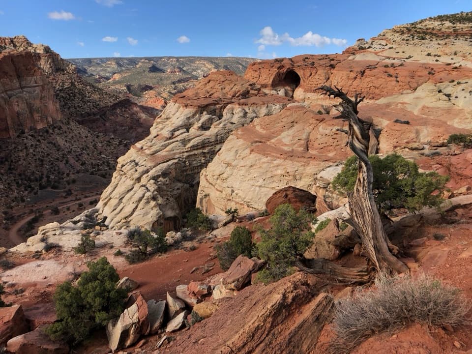
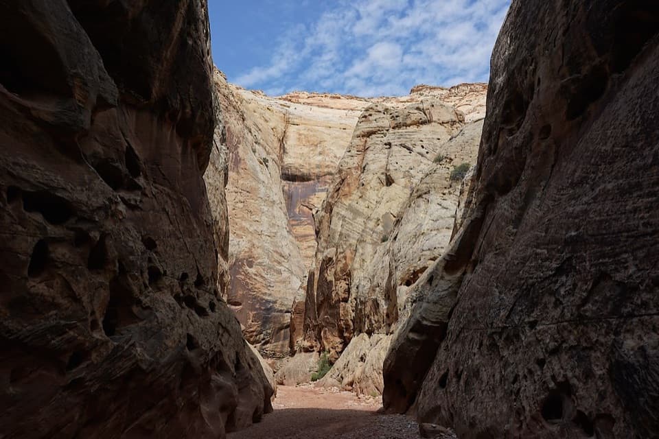
A steep, cairned descent into Halls Creek’s quiet canyon floor.
Overview
Map & elevation
Plan your hike

The highest, rockiest slopes around here are a summer buffet for grizzly bears.
Capitol Reef Tour Guide
Parkwolf is a GPS audio tour guide for Capitol Reef National Park. As you drive, it chimes in with what’s ahead: hidden gems, upcoming stops, history, geology, and wildlife, right through your car’s speakers.
See the Capitol Reef audio tour“Fantastic app with many points of information… It’s great to just turn on while you’re driving and it gives you an audio tour of the national Park. We love it!!!!”


Trail guide
Halls Creek Overlook Trail is a 2.4-mile out-and-back from the overlook to the Halls Creek drainage and back. The one-way descent is 1.2 miles and loses about 800 feet, so you regain all of that on the return. This is a rugged half-day hike, not a casual extension of the viewpoint; allow about three hours for steep footing and careful route-finding.
The cairned route drops across unmaintained terrain from the overlook. Use the canyon-bottom access as the turnaround for this short version; continuing down Halls Creek leads into much longer routes. The return climb-out is unmarked and easy to walk past, so note the landmarks at the exit before descending and carry a topographic map.
Spring and fall are the best seasons. Summer heat can be extreme, and flash floods can move quickly through narrow canyons during monsoon weather. Do not enter the drainage when storms threaten. Pets are not allowed on park trails or in off-trail backcountry areas.
The trailhead is at Halls Creek Overlook, reached by a remote road approach. The last three miles to the overlook are rough and require a high-clearance four-wheel-drive vehicle. There is no segment-specific time estimate or published parking capacity for this hike, so plan for a slow outing and arrive with everything you need.
Wildlife
 50 sightingsBighorn SheepMost seen around 6 PMSighting map
 322 sightingsMule DeerMost seen around 6 PMSighting map
 70 sightingsMarmotMost seen around 7 AMSighting map
 13 sightingsCottontail RabbitMost seen around 7 PMSighting map
 33 sightingsTurkeyMost seen around 6 AMSighting map
 14 sightingsRavenMost seen around 9 AMSighting map
Sighting maps show where each species has been reported across Capitol Reef. Wildlife moves, so no sighting is guaranteed.
Keep exploring
 ChallengingHalls Creek Narrows22.4 mi · 3.5 days · At the trailheadA remote 22.4-mile backpack through a water-filled sandstone canyon.
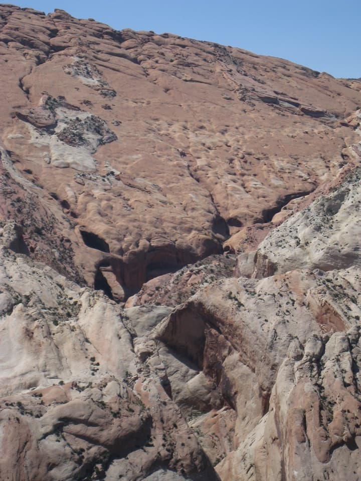 ChallengingBrimhall Natural Bridge Trail4.6 mi · 4 hr · At the trailheadA 4.6-mile arch hike with a steep return and possible swim.
 EasyCottonwood Tanks3.3 mi · 1.5 hr · 7.9 mi awayAn old wagon track winds to pools below pale sandstone cliffs.
 ChallengingLower Muley Twist Canyon — Post Loop15.4 mi · 10 hr · 8 mi awayA remote 15.4-mile loop of soaring alcoves and a severe exposed climb.
 ModerateHamburger Rocks and Muley Tanks11.7 mi · 6 hr · 8 mi awayLong, unmarked Halls Creek walk to red hoodoos and Muley Tanks.
 EasyHeadquarters Canyon Route2.6 mi · 2.5 hr · 8.4 mi awayA sandy approach opens into a short, striped slot canyon.
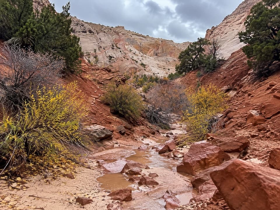 EasySurprise Canyon Route2 mi · 1.5 hr · 8.9 mi awayA short desert walk into a narrow canyon and spiraling pour-off.ChallengingLower Muley Twist Canyon5.9 mi · 5 hr · 10.4 mi awayA remote canyon crossing with a steep exposed climb over the Fold.
Parkwolf’s Capitol Reef ranking

The audio tour guide for the drive, plus offline maps, trails, and wildlife heatmaps for when the signal drops.