
Place · 5 mi away
Moderate
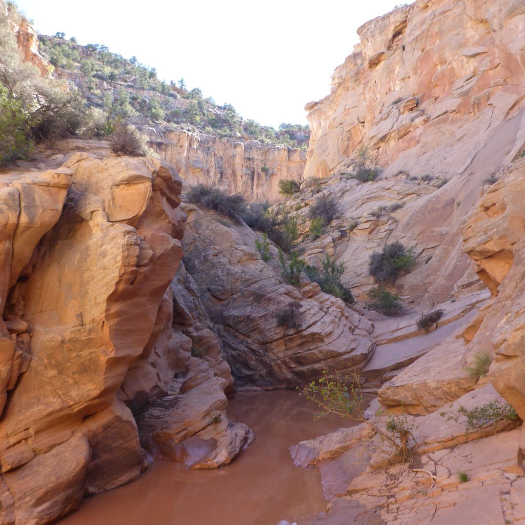
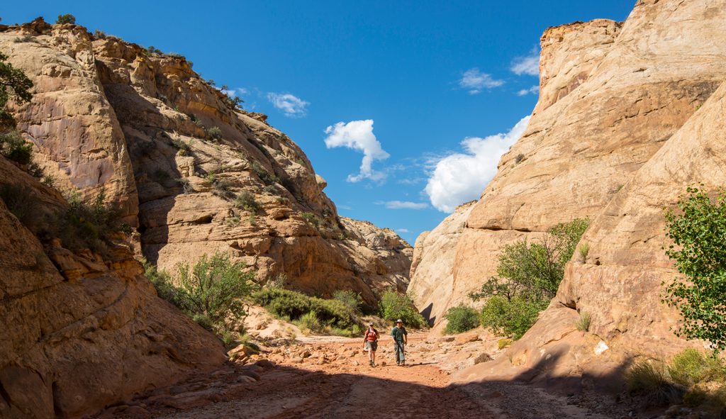
Cottonwood Wash is a classic Capitol Reef slot canyon hike: raw, remote, and more adventure than “trail.” It’s an out-and-back up the wash that tightens into sculpted narrows, with boulder chokes and short dryfalls that make you earn every bend. Plan for about 6 miles round-trip (total), turning around where the canyon’s major dryfall shuts down casual travel.
Start from Notom–Bullfrog Road, about 9.1 miles south of Highway 24 (around 38.1659° N, 111.0894° W). The first mile is a broad, sandy wash before the walls squeeze into twisting narrows. Expect hands-on moves to get over and around chokestones, occasional route-finding detours, and seasonal pools that can mean wading. Most parties turn around at a prominent dryfall (about 40 feet)—continuing beyond it shifts into a canyoneering endeavor.
This is non-technical for hikers who stop at the dryfall, but it’s more demanding than a typical trail: moderate-to-strenuous thanks to sand slogging, scrambles, and problem-solving around obstacles. It suits hikers who want solitude and a wild slot experience, are comfortable with unmarked terrain, and don’t mind getting a little wet. If you’re looking for something similar with a different flavor, neighboring Burro Wash or Sheets Gulch offer comparable backcountry slot adventures.
Spring and fall are prime. Summer heat can be brutal, and flash-flood risk is highest July–September. Never enter slots with storms in the forecast—clear skies above you don’t guarantee safety if it’s raining upstream.
This is a remote backcountry hike. Don’t go solo. Carry ample water (there are no reliable sources), wear sturdy footwear that can handle sand and water, and pack layers. The route is largely unmarked—bring a map and know how to use it. Pets aren’t allowed on backcountry trails here. Day hikers don’t need a permit, but continuing beyond the dryfall as a technical canyoneering route requires proper skills and compliance with park rules.
The canyon cuts through the Waterpocket Fold, revealing colorful sedimentary layers and classic Navajo sandstone narrows. In the open sections you’ll snag big views; inside the slots, look for flowing curves, chokestones, and sculpted pour-offs that tell the story of relentless flash floods shaping the rock.
Roadside pullout on Notom–Bullfrog Road, 9.1 miles south of Highway 24 at the Cottonwood Wash crossing.
Flash-flood prone slot; do not enter if rain is forecast. Expect boulder obstacles and a ~40 ft dryfall where most turn around. Route is largely unmarked—carry map/GPS—remote setting, travel with a partner, and bring plenty of water.
Place · 5 mi away
Place · 5.3 mi away
Place · 6.3 mi away
Place · 8.2 mi away
Challenging · 1.2 mi away
Moderate · 3.5 mi away
Moderate · 5.1 mi away
Easy · 5.3 mi away

Parkwolf Tour Guide
