Place · 0 mi away
Challenging

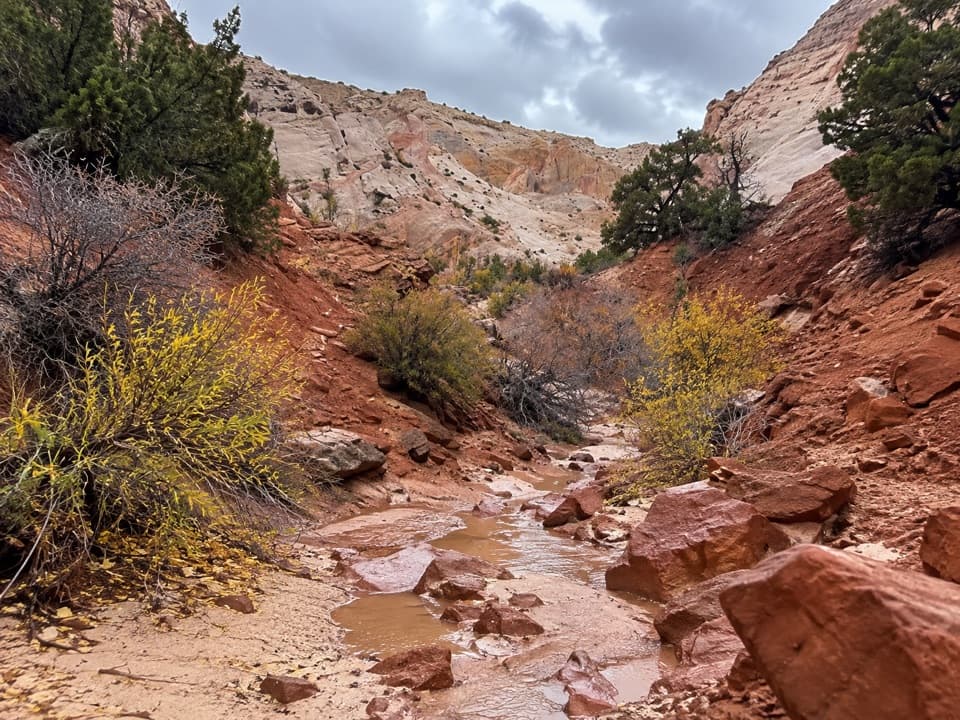
Halls Creek Narrows is Capitol Reef’s big, remote canyon adventure—an immersive backpacking route through white Navajo Sandstone walls and a perennial desert creek. Expect long miles, real route-finding, and very few people. Most parties tackle it as a 2–3 day backpacking loop of about 24 miles total, though an out-and-back to the Narrows runs roughly 20–22 miles total.
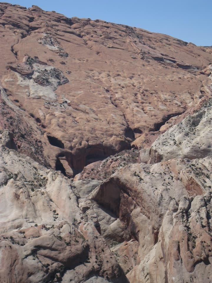
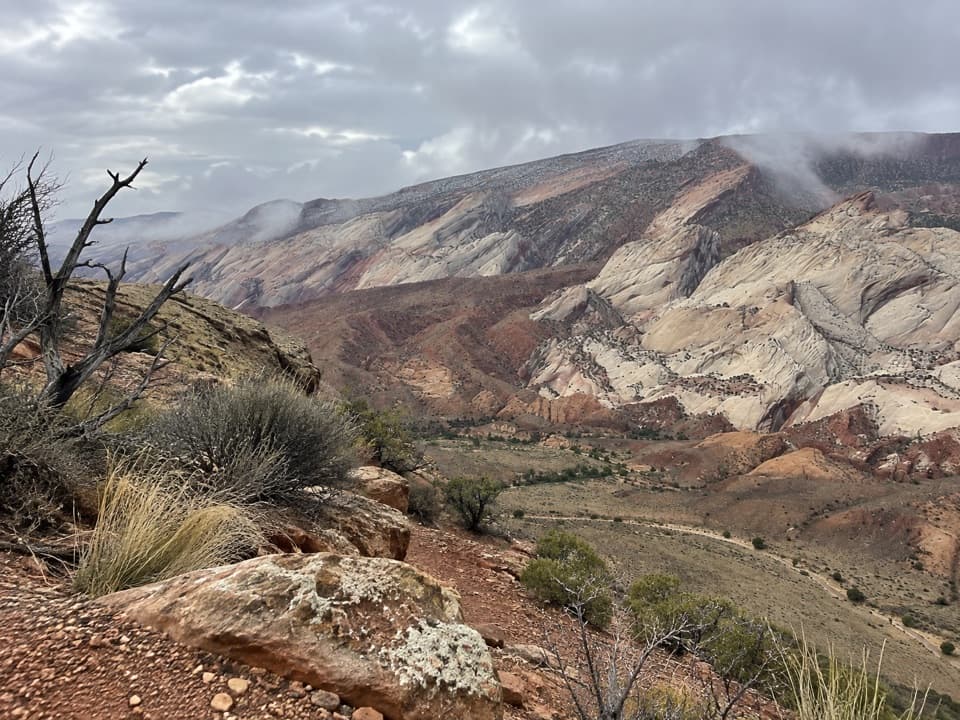
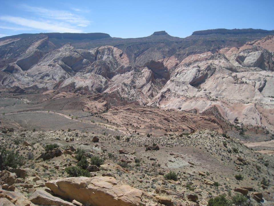
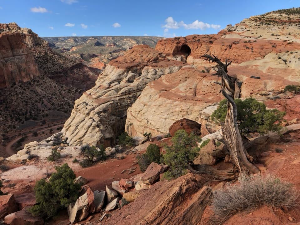
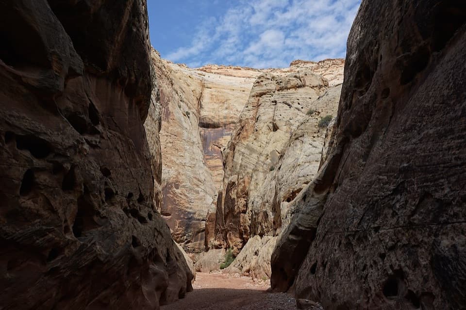
From Halls Creek Overlook, the route drops roughly 800 feet on a constructed path through cliff bands to the Halls Creek corridor. For about 7 miles you’ll follow the broad, open drainage (with stretches of old, abandoned road paralleling the creek) before entering the Narrows—around 3.8 miles of shaded canyon with soaring walls and reliable water. The rock here is classic Waterpocket Fold geology—brilliant white Navajo Sandstone, part of a long monocline that defines the southern park. This is one of the least-visited corners of Capitol Reef, so solitude is a feature, not a bug.
Navigation matters: the route is intermittently unmarked, with social paths and occasional cairns that are not maintained and may be misleading. Carry a topo map or GPS and don’t rely on cairns. Water is present in the Narrows year-round; you will wade and may need to swim short pools depending on current conditions. Treat all water. Camping is common for 1–2 nights with a free backcountry permit required for overnights. There’s no cell service—plan for full self-reliance.
Reaching Halls Creek Overlook is part of the commitment. Approaches commonly use the Burr Trail and Notom–Bullfrog Road; the final ~3 miles to the overlook require high-clearance four-wheel drive. All roads are remote—bring extra supplies and make sure your vehicle is trailhead-ready.
Spring and fall offer the most comfortable temperatures and stable weather windows. Summer brings serious heat on the open approach, even if the Narrows are shaded and cooler. Flash flood risk is highest from mid‑June to mid‑October; never enter the Narrows with storms in the forecast.
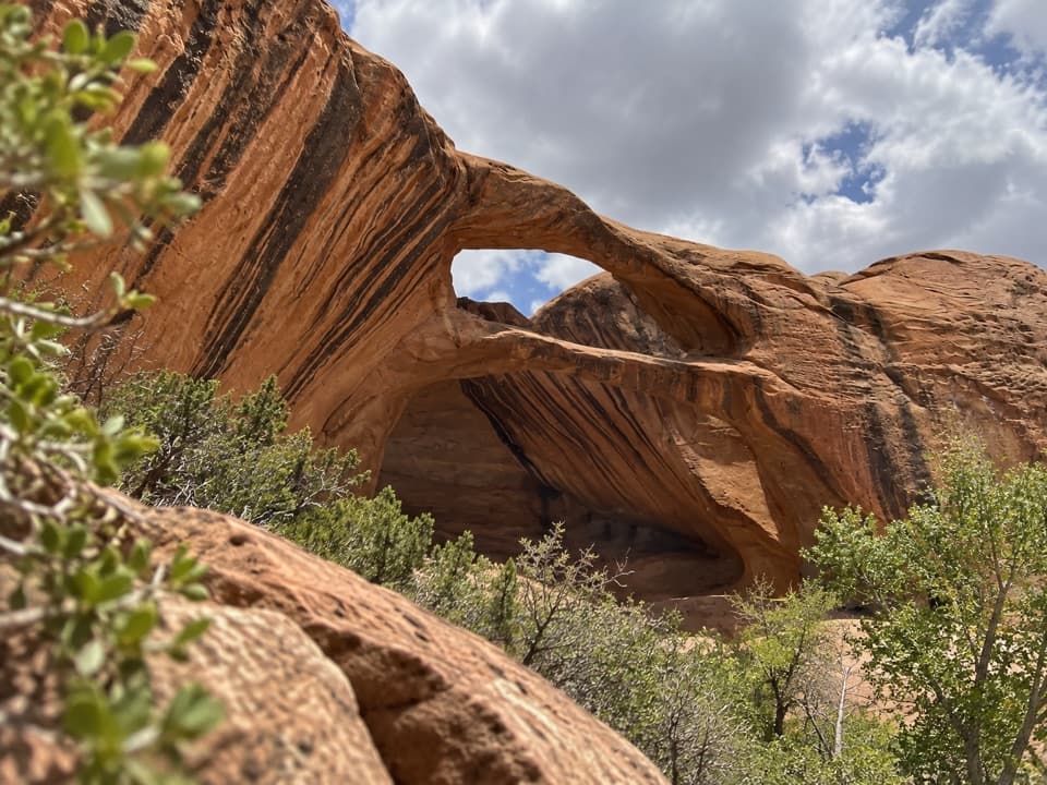
If you want a committing desert canyon with real route-finding, deep narrows, and big quiet, this is a standout—challenging, beautiful, and memorable. If you prefer short, signed trails with predictable dry footing, look elsewhere. For extra exploring, side canyons and features in the area (like Brimhall Natural Bridge or Muley Twist Canyon) can add variety—just budget time and water.
Park at Halls Creek Overlook trailhead. Access is remote via the Burr Trail and Notom–Bullfrog Road; the last ~3 miles require a high‑clearance 4WD vehicle. No services; plan accordingly.
Flash floods are a serious hazard—risk peaks mid‑June to mid‑October. Water levels in the Narrows vary; expect wading and potential swims. Treat all water. Route is largely unmarked and cairns are not maintained. No cell service and very long response times—carry maps/GPS and extra supplies.