Place
Challenging
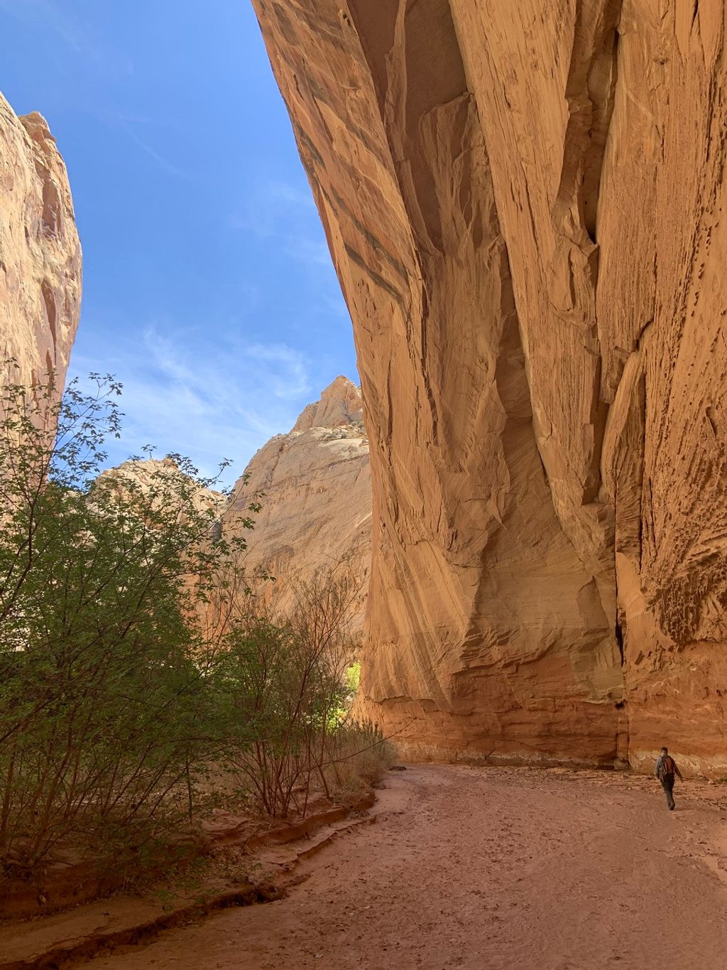
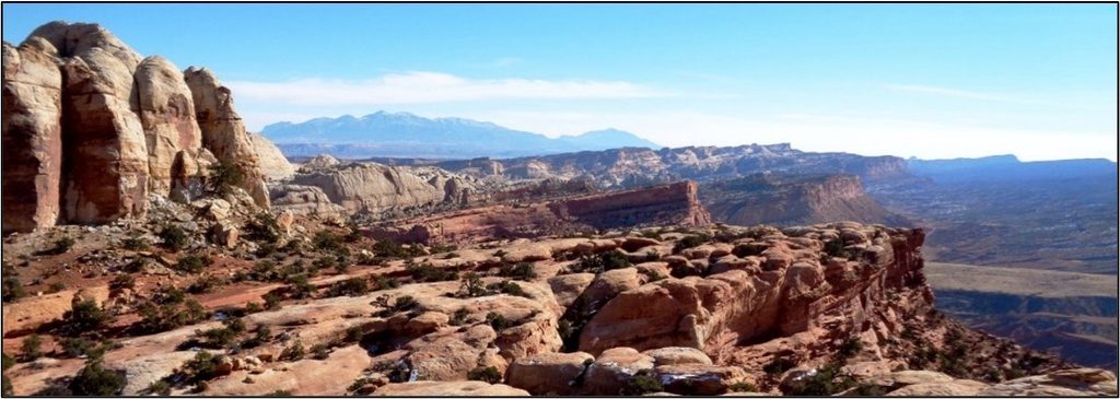
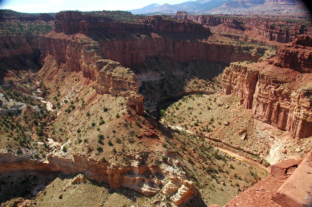
Lower Spring Canyon is a point-to-point backcountry canyon hike offering solitude, towering sandstone walls, and classic Capitol Reef scenery. It runs roughly 9.7 miles one way from the Chimney Rock Trailhead to the Fremont River. Expect an unmaintained route that follows sandy and rocky wash with intermittent slickrock, big Wingate Sandstone cliffs, and occasional narrows and alcoves.
The first few miles use the maintained Chimney Rock Trail before dropping into the more remote lower canyon. From there, cairns are intermittent and many stretches are unmarked, so you’ll mostly follow the canyon bottom. The walking is generally moderate with about 500–600 feet of total gain, but the setting feels wild and you’re likely to see few people. Near the lower end, you must ford the Fremont River to exit—there is no bridge.
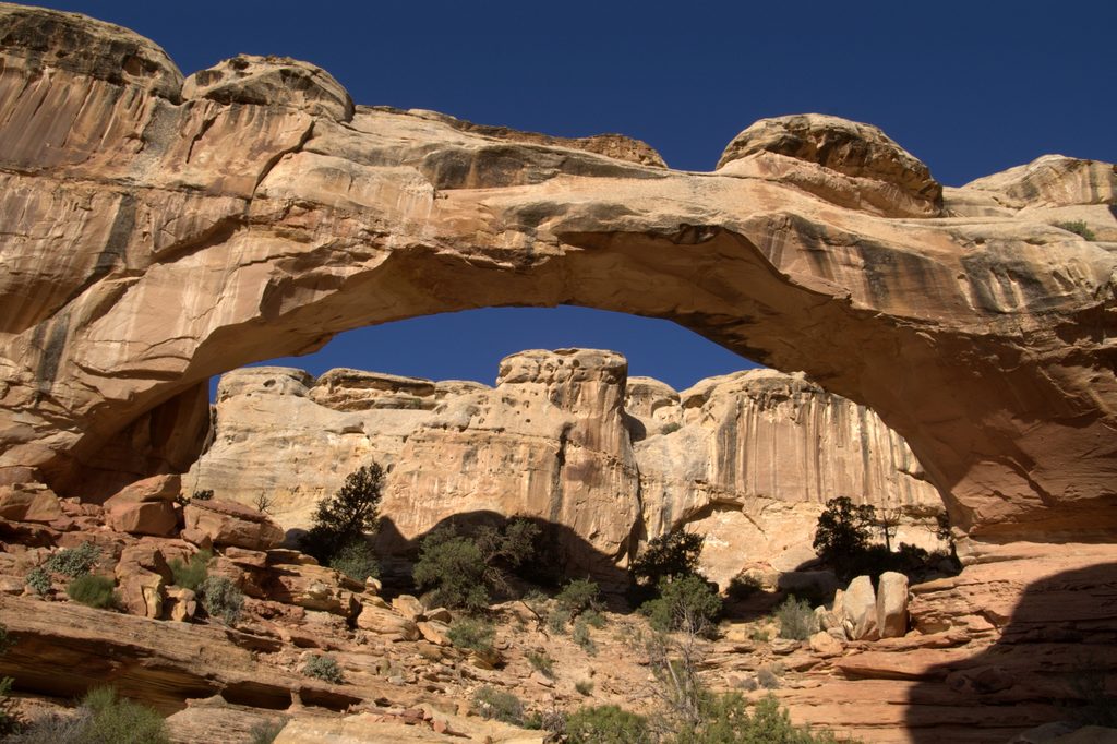
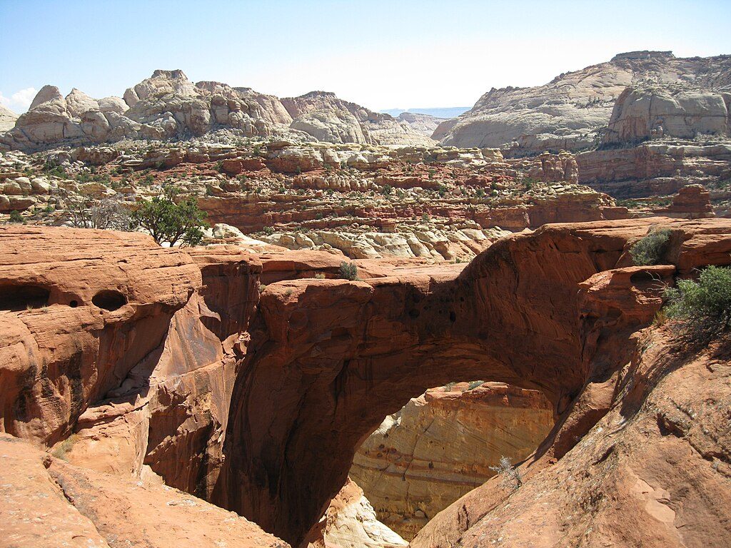
This canyon showcases Jurassic rock layers, including dramatic Wingate walls and rounded Navajo domes. Look for alcoves, short narrows, ledges, and the occasional arch along the way. A spring is reported a few miles below the Chimney Rock junction, but treat it as unreliable and plan to carry your own water.
Set up a shuttle—it’s designed as a one-way traverse. Park one vehicle at Chimney Rock on UT‑24 and another at the Fremont River pullout on UT‑24. Navigation savvy helps here; bring a map and GPS. Water is scarce, and flash floods are a real risk during and after storms. The Fremont River ford can be cold, swift, and deeper in spring or after weather—turn back if it’s unsafe.
Spring and fall are the sweet spot for temperatures and typically lower flood risk. Summer heat and monsoon storms make conditions more hazardous, and winter melt can raise river levels. Start early for cooler temps and better light on the canyon walls.
No permit is needed for a day hike. If you plan to backpack and camp, free backcountry permits are required and issued at the visitor center.
Stage a shuttle: park at Chimney Rock Trailhead on UT‑24 (milepost ~76.4) and at the Fremont River pullout near UT‑24 (around milepost 83).
Flash flood potential in the canyon, scarce water, unmaintained route with limited cairns, and a mandatory Fremont River ford that may be swift, deep, or cold—do not attempt in unsafe conditions.
Challenging
Challenging
Moderate
Moderate

Parkwolf Tour Guide