Place
Moderate
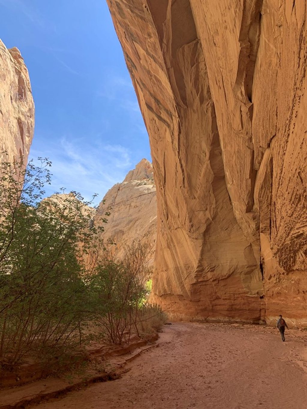
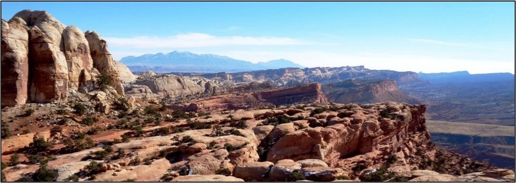
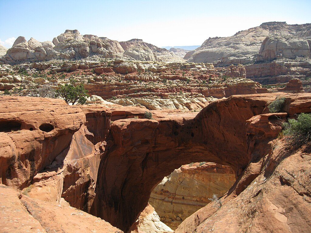
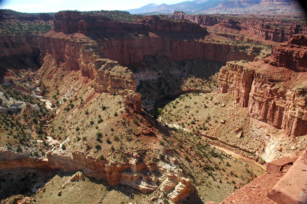
Spring Canyon is classic Capitol Reef backcountry: a long, winding desert gorge with soaring Wingate and Navajo sandstone walls, huge alcoves, short narrows, and riparian pockets of cottonwoods along the wash. It’s notably quiet compared to front-country favorites—expect real solitude, shifting light on red walls, and a true canyon travel feel rather than a groomed trail.
Most day hikers tackle the lower section as a point-to-point between the Chimney Rock Trailhead and the canyon’s mouth along Highway 24. The route is roughly 9.9–10 miles one way (including the initial approach via the Chimney Rock Trail before dropping into Spring Canyon). Grades are gentle overall with modest total gain (about 300–400 feet), but sandy wash, occasional slickrock, and minor obstacles keep it honest. Plan 6–9 hours depending on pace and conditions, and use a car shuttle to avoid a long backtrack.
Expect sheer, colorful walls, twisting narrows with seasonal pools and occasional cascades, and big alcoves where the canyon breathes out. The high cliffs limit direct sunlight in places, so vegetation is sparse up high but thicker on the canyon floor. Morning and late afternoon light make the rock glow and are prime for photography.
Spring and fall bring milder temperatures and are the best seasons. Summer heat is intense, and monsoon season (roughly July–September) increases flash-flood risk—treat any narrows with caution. Crowds are minimal year-round here, which is part of the appeal.
This is an unmaintained backcountry route with limited signage—expect route finding. Carry a topo map and GPS. Water is scarce and unreliable; you should carry what you need and confirm current spring conditions with rangers if you’re counting on natural sources. Dogs aren’t allowed. For overnight trips, the park requires a free backcountry permit.
If you exit at the lower end, there’s no bridge—you must ford the Fremont River. Depth and flow vary with season and weather (often around 1–2 feet), and it can be muddy and swift; bring appropriate footwear and be prepared to turn around if conditions aren’t safe. Many start at Chimney Rock and shuttle a car to a pullout on Highway 24 near the canyon mouth east of the visitor center. Upper Spring Canyon can be linked for a 2–3 day backpack, and strong parties sometimes do the full Upper + Lower traverse in 3–4 days; know that upper segments extend beyond the park boundary and remain very remote.
Stage a shuttle. Park at Chimney Rock Trailhead on Highway 24 for the start, and a second vehicle at a Highway 24 pullout near the mouth of Spring Canyon east of the visitor center. If starting downstream, you’ll ford the Fremont River immediately.
Unmaintained backcountry route with flash-flood risk (highest July–September). Mandatory Fremont River crossing at the lower end with no bridge—turn back if unsafe. Water sources are scarce and unreliable; carry enough. Expect route finding and bring a map/GPS. No dogs; free backcountry permit required for overnight trips.
Challenging
Challenging
Moderate
Moderate

Parkwolf Tour Guide