Place
Easy
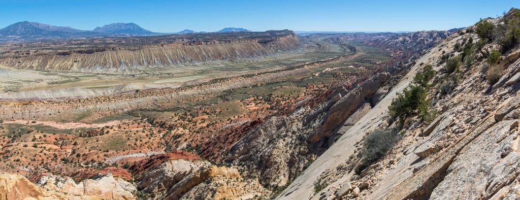
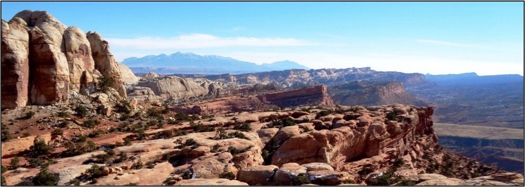
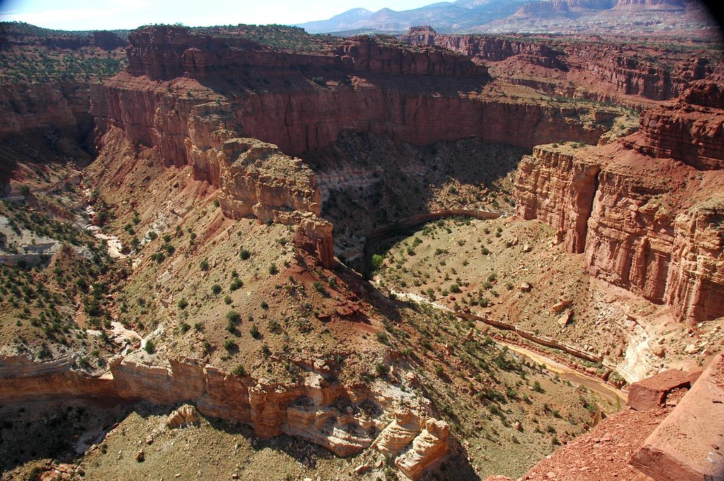
This is the bang-for-your-buck viewpoint on Capitol Reef’s remote east side. From the 4WD trailhead, it’s an easy out-and-back of about 0.8–0.9 miles total with roughly 160 feet of gain. Without high-clearance 4WD, you’ll park lower and add a mostly flat road walk for a total of roughly 6.5–6.6 miles round trip. Either way, the finale is a sweeping panorama down Strike Valley and across the backbone of the Waterpocket Fold.
From the upper trailhead, the path meanders through pinyon and juniper, drops into a shallow wash, then climbs slickrock up a natural ramp marked by cairns to a broad saddle. A large cairn marks the main overlook. The rim is wide and feels secure, and you can wander a few hundred feet along it in either direction to fine-tune your perspective. It’s short, sunny, and straightforward—just enough walking to earn a snack with a view.
Front and center is the sinuous Waterpocket Fold—a classic monocline—and the long, linear Strike Valley aligned with the rock layers’ “strike.” To the east, the Henry Mountains dominate the skyline. Look north for pale Navajo Sandstone domes and sculpted cliffs; to the south and southeast the terrain trends toward the Lake Powell country. The geology show is the reason you came—layered, tilted strata and big desert space.
The standard approach is via Burr Trail Road, then up the rough Upper Muley Twist access road to a small 4x4 parking area. High-clearance 4WD is strongly recommended; if you can’t drive the access road, park at the Upper Muley Twist/Burr Trail junction and walk the road to the upper trailhead before the short overlook spur. The access roads are dirt/gravel and can become impassable when wet.
Go in spring or fall for mild temps and clear air; winter can also be excellent when snow-free. This route is fully exposed with almost no shade, so start early or late for softer light and cooler conditions. After rain, expect mud and potential road closures—plan around dry, stable weather.
Absolutely—if you can reach the 4WD trailhead, the view-to-effort ratio is off the charts. Even from the lower parking, the long road walk pays off with one of the park’s most dramatic vistas.
Small 4x4 parking area at the end of the Upper Muley Twist access road off Burr Trail. Without 4WD, park at the Upper Muley Twist turnoff on Burr Trail and walk the access road to the upper trailhead.
High-clearance 4WD strongly recommended; dirt roads may be impassable when wet. Fully exposed to sun with no water. Routes in the area are unmaintained—do not rely solely on cairns; carry map/GPS and be ready to turn around in bad weather.
Challenging
Challenging
Moderate
Moderate

Parkwolf Tour Guide