Best time to visit
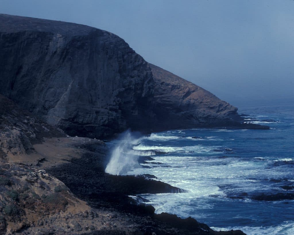
Clear, low-haze days deliver the best visibility and photos. Spring adds wildflowers (especially giant coreopsis) and lively seabird activity. For softer light and fewer harsh shadows, aim for early morning or late afternoon.
Sight · Channel Islands National Park
Remote island high point with big ocean views and seabirds
Overview
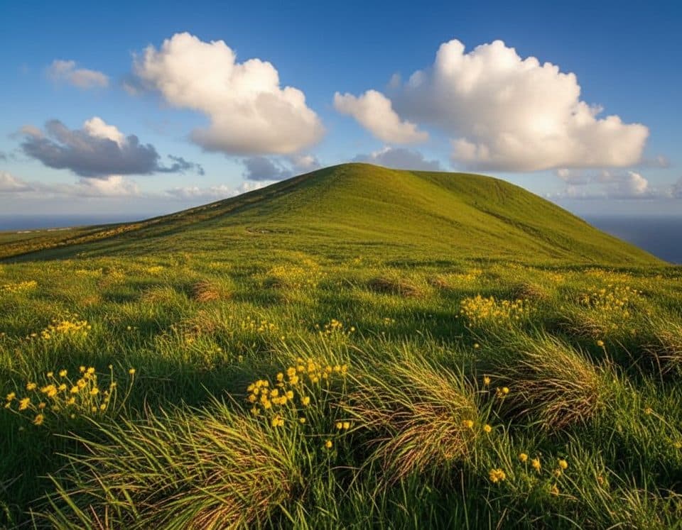
Also called Signal Hill on some maps, Signal Peak is the 634-foot summit of Santa Barbara Island and the island’s high point. It’s a simple idea with big payoff: climb to the top of a small, volcanic island and soak up uninterrupted ocean panoramas.
Map
Local know-how
Carry all the water you’ll need—there’s none on the island or summit.
Wear sturdy shoes; the climb is steep, exposed, and can be loose underfoot.
Download offline maps and the park app before leaving the mainland.
Visit on a clear day for the best long-range views.
Give nesting seabirds a wide berth and keep voices low.
Plan your stop

The highest, rockiest slopes around here are a summer buffet for grizzly bears.
Channel Islands Tour Guide
Parkwolf is a GPS audio tour guide for Channel Islands National Park. As you drive, it chimes in with what’s ahead: hidden gems, upcoming stops, history, geology, and wildlife, right through your car’s speakers.
See the Channel Islands audio tourRecorded for this place
Signal Peak: The Highest Point on Santa Barbara Island“You'll be seeing the route for Signal Peak, the highest point on Santa Barbara Island. It's a pretty stout and exposed climb to the summit, but the reward is a commanding, uninterrupted ocean panorama.”
Plays as you drive up to Signal Peak in the Parkwolf Channel Islands Tour Guide.
More stories near here in the app
“Fantastic app with many points of information… It’s great to just turn on while you’re driving and it gives you an audio tour of the national Park. We love it!!!!”


Guide
From the summit you get a commanding view of the island’s rugged coastline and offshore rocks, including tiny Sutil Island to the southwest. On clear days, the outlook feels wildly expansive—nothing but cliffs, blue water, and passing seabirds.
Santa Barbara Island is a critical seabird stronghold. From the peak and along the approach you may spot western gulls, brown pelicans, cormorants, auklets, pigeon guillemots, black oystercatchers, and the elusive Scripps’s murrelet. In spring, keep an eye out for blooming giant coreopsis adding bright bursts of color across the slopes.
Expect a stout, exposed climb with some steep grades and potentially loose footing. There’s no shade and no facilities along the way. The route feels remote and quiet—part of the charm—so plan to be self-reliant.
Wildlife
 2,232 sightingsIsland FoxMost seen around 6 PMSighting map
 282 sightingsHumpback WhaleMost seen around 9 AMSighting map
 79 sightingsBlue WhaleMost seen around 7 AMSighting map
 101 sightingsGrey WhaleMost seen around 8 AMSighting map
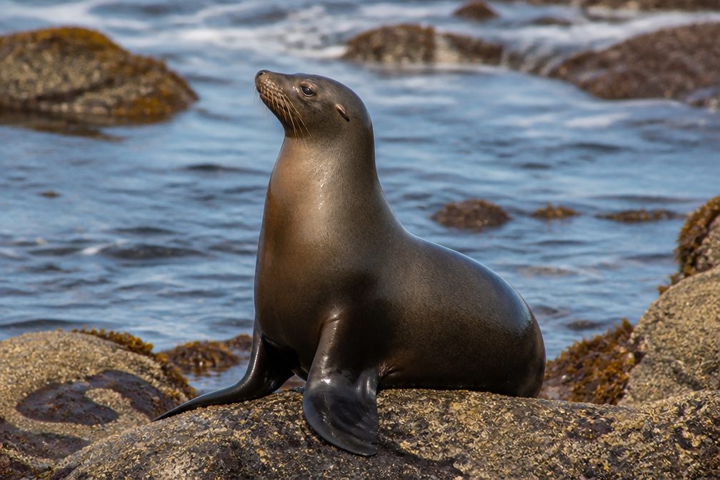 364 sightingsCalifornia Sea LionMost seen around noonSighting map
 105 sightingsBald EagleMost seen around 5 PMSighting map
Sighting maps show where each species has been reported across Channel Islands. Wildlife moves, so no sighting is guaranteed.
Keep exploring
 ModerateArch Point Trail1 mi · 45 min · 0.9 mi awayShort, moderate out-and-back to Arch Point with coastal views and wildflowers in season
 ChallengingElephant Seal Cove Trail3.4 mi · 2.2 hr · 0.9 mi awayStrenuous Santa Barbara Island walk from Landing Cove to an Elephant Seal Cove overlook above volcanic sea cliffs and Shag Rock
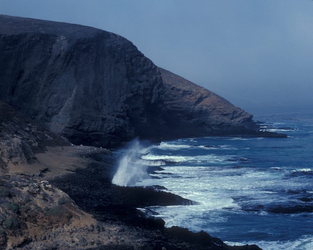 EasySea Lion Rookery Trail2 mi · 1 hr · 1 mi awayExposed 2-mile round trip to a sea lion overlook
 ChallengingSignal Peak Trail2.5 mi · 2 hr · 1 mi awayShort, steep sea-to-summit climb to big ocean panoramas
Parkwolf’s Channel Islands ranking

The audio tour guide for the drive, plus offline maps, trails, and wildlife heatmaps for when the signal drops.