Parking
No parking on-island; arrive by boat and start at the Landing Cove/visitor center area.

Channel Islands National Park, CA
Short, steep sea-to-summit climb to big ocean panoramas
Overview
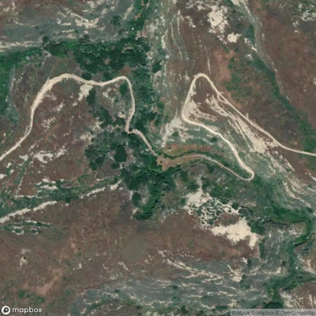
Signal Peak Trail is a strenuous out-and-back from the Landing Cove on Santa Barbara Island to Signal Peak, the island's 634-foot high point. The National Park Service lists the hike as 2.5 miles round trip. The stored line follows the mapped Landing Cove connector and Signal Peak path to the summit approach; it stores the physical one-way corridor once, while the visitor distance includes the return.
Yes—if you want a short but strenuous climb to Santa Barbara Island's highest point. The route is exposed and remote, but the views toward the western coast and Sutil Island make the effort worthwhile.
 Parkwolf’s verdictIs It Worth It?
Map & elevation
Plan your hike

The highest, rockiest slopes around here are a summer buffet for grizzly bears.
Channel Islands Tour Guide
Parkwolf is a GPS audio tour guide for Channel Islands National Park. As you drive, it chimes in with what’s ahead: hidden gems, upcoming stops, history, geology, and wildlife, right through your car’s speakers.
See the Channel Islands audio tourRecorded for this trailhead
Santa Barbara Island's Bluff-Top Campground“Up ahead is the Santa Barbara Island Campground, perched on the bluff. It's a steep, quarter-mile walk up from the landing, but your reward is a front-row seat to some incredible ocean views and wildlife.”
Plays as you drive up to this trailhead in the Parkwolf Channel Islands Tour Guide.
More stories near here in the app
“Fantastic app with many points of information… It’s great to just turn on while you’re driving and it gives you an audio tour of the national Park. We love it!!!!”


Trail guide
The route climbs steeply from the dock and landing area and crosses open, exposed island terrain to the peak. There is little shade and no potable water. Stay on designated trails, follow posted wildlife and nesting-area restrictions, and use a topographic map for navigation; the park's hiking map is for reference only.
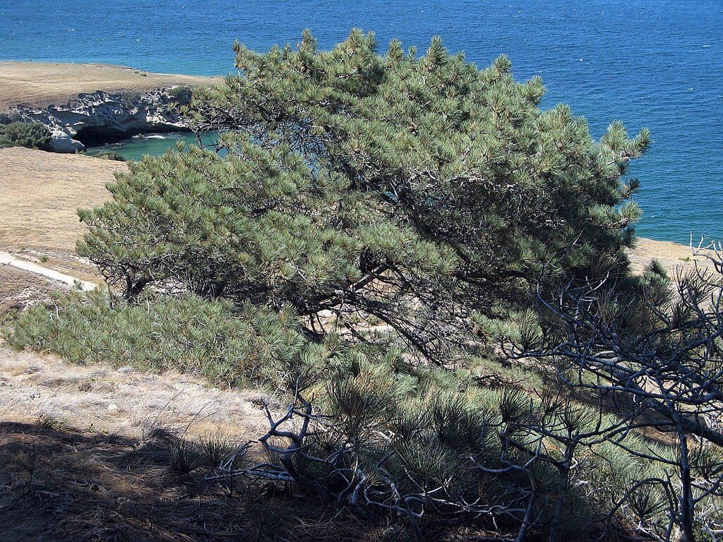
Signal Peak offers sweeping views of the island's western coast and Sutil Island. Giant coreopsis and seabirds are seasonal highlights, and seals and sea lions may be seen around the coast.
Wildlife
 2,232 sightingsIsland FoxMost seen around 6 PMSighting map
 282 sightingsHumpback WhaleMost seen around 9 AMSighting map
 79 sightingsBlue WhaleMost seen around 7 AMSighting map
 101 sightingsGrey WhaleMost seen around 8 AMSighting map
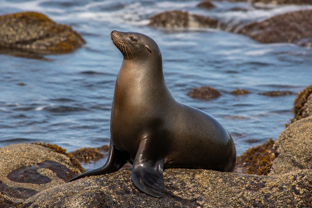 364 sightingsCalifornia Sea LionMost seen around noonSighting map
 105 sightingsBald EagleMost seen around 5 PMSighting map
Sighting maps show where each species has been reported across Channel Islands. Wildlife moves, so no sighting is guaranteed.
Keep exploring
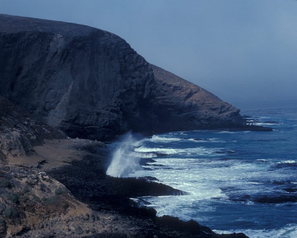 EasySea Lion Rookery Trail2 mi · 1 hr · At the trailheadExposed 2-mile round trip to a sea lion overlook
 ChallengingElephant Seal Cove Trail3.4 mi · 2.2 hr · At the trailheadStrenuous Santa Barbara Island walk from Landing Cove to an Elephant Seal Cove overlook above volcanic sea cliffs and Shag Rock
 ModerateArch Point Trail1 mi · 45 min · 0.1 mi awayShort, moderate out-and-back to Arch Point with coastal views and wildflowers in season
 Campground · 0.2 mi awaySanta Barbara Island CampgroundBluff-top primitive sites with ocean panoramas and prolific seabirds
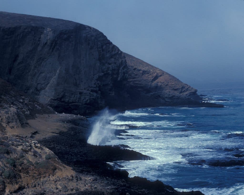 Sight · 0.6 mi awaySanta Barbara IslandCliff-ringed island with seabirds, seals, and stellar snorkeling
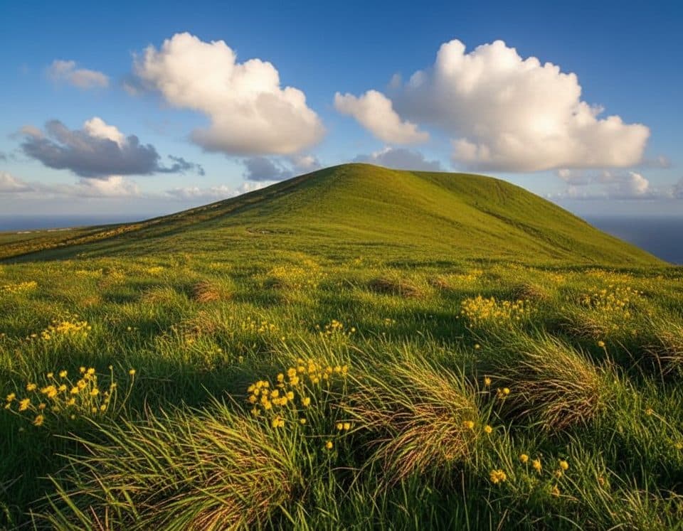 Sight · 1 mi awaySignal PeakRemote island high point with big ocean views and seabirds
Parkwolf’s Channel Islands ranking
The audio tour guide for the drive, plus offline maps, trails, and wildlife heatmaps for when the signal drops.