Parking
Start at Cuyler Harbor Beach, the island’s only approved landing area; visitors come ashore by boat because there is no pier.
#7 of 48 trails in Channel Islands
Channel Islands National Park, CA
A ranger-led 16-mile round trip to Point Bennett’s seal colonies.
Overview
Map & elevation
Plan your hike

The highest, rockiest slopes around here are a summer buffet for grizzly bears.
Channel Islands Tour Guide
Parkwolf is a GPS audio tour guide for Channel Islands National Park. As you drive, it chimes in with what’s ahead: hidden gems, upcoming stops, history, geology, and wildlife, right through your car’s speakers.
See the Channel Islands audio tour“Fantastic app with many points of information… It’s great to just turn on while you’re driving and it gives you an audio tour of the national Park. We love it!!!!”


Trail guide
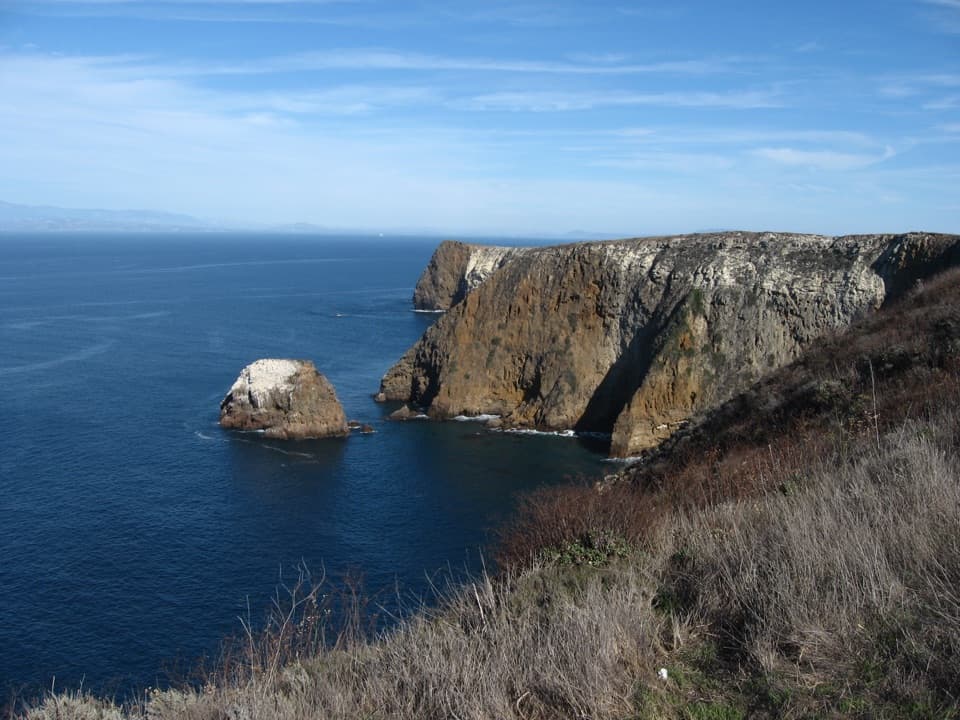
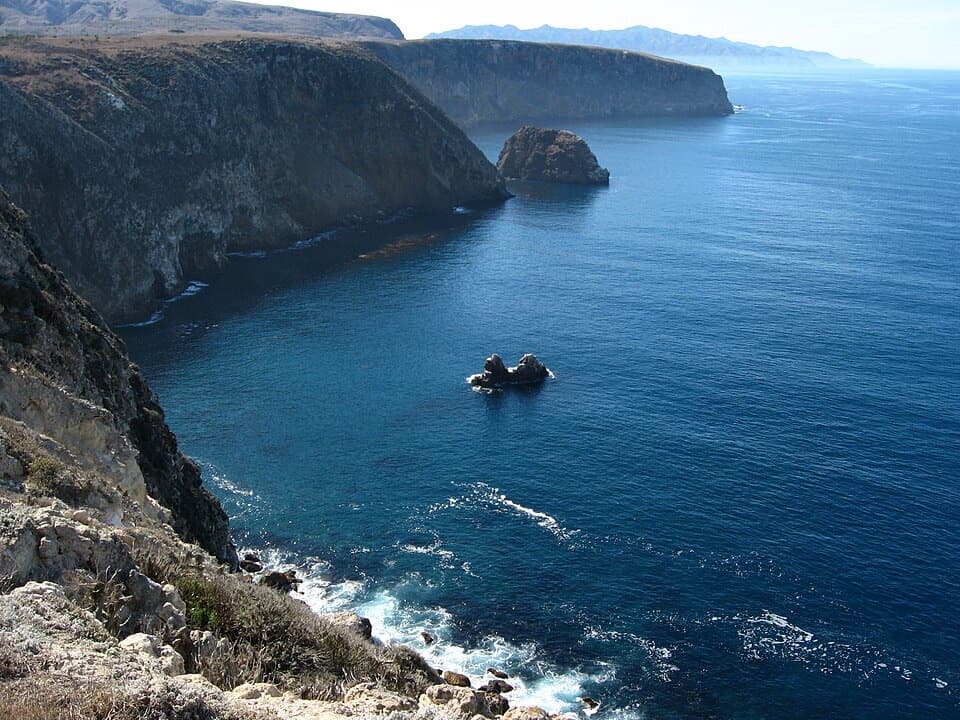
Point Bennett is a strenuous, ranger-guided out-and-back across San Miguel Island, 16 miles round trip from the Cuyler Harbor landing. You cross the island to a designated overlook above the rocky point and its sandy spit, then retrace the same route. The seal and sea lion colonies are the reason to make this long trip. Allow about eight hours for the walk and time at the overlook; that is a planning estimate for the strenuous distance, not a scheduled tour length. This is not a self-guided hike. Park staff must be on the island, and they do not guarantee that the Point Bennett trip will be offered.
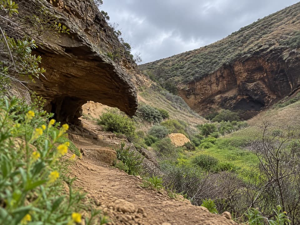
Boats bring visitors ashore at Cuyler Harbor Beach, where there is no pier. The first half-mile climbs a dune and follows the east side of Nidever Canyon toward the campground and ranger station. Giant coreopsis grows along this approach. Beyond the station, the route follows an old Navy road that is now mostly single-track through open grassland, with lupine, coyote bush, dudleya, and loco weed. About a mile into the westbound hike, you reach San Miguel Hill, the island’s 831-foot high point. A former World War II lookout stood here; weather instruments now mark the spot. The trail drops through Sand Blast Pass before continuing west.
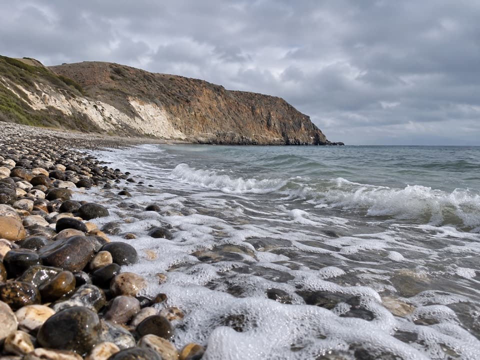
A short side path reaches the Caliche Forest, a sandy field dotted with calcified casts of ancient vegetation. Windblown sand buried roots and trunks long ago; after the plants decayed, shell-derived calcium carbonate cemented the sand inside their molds. Later erosion exposed the casts. Some may represent pines or cypresses, but the broader point is the way this island’s pale sand preserves a landscape that would otherwise be gone. The north shore’s light carbonate sand also explains the nearly white beach at Cuyler Harbor.
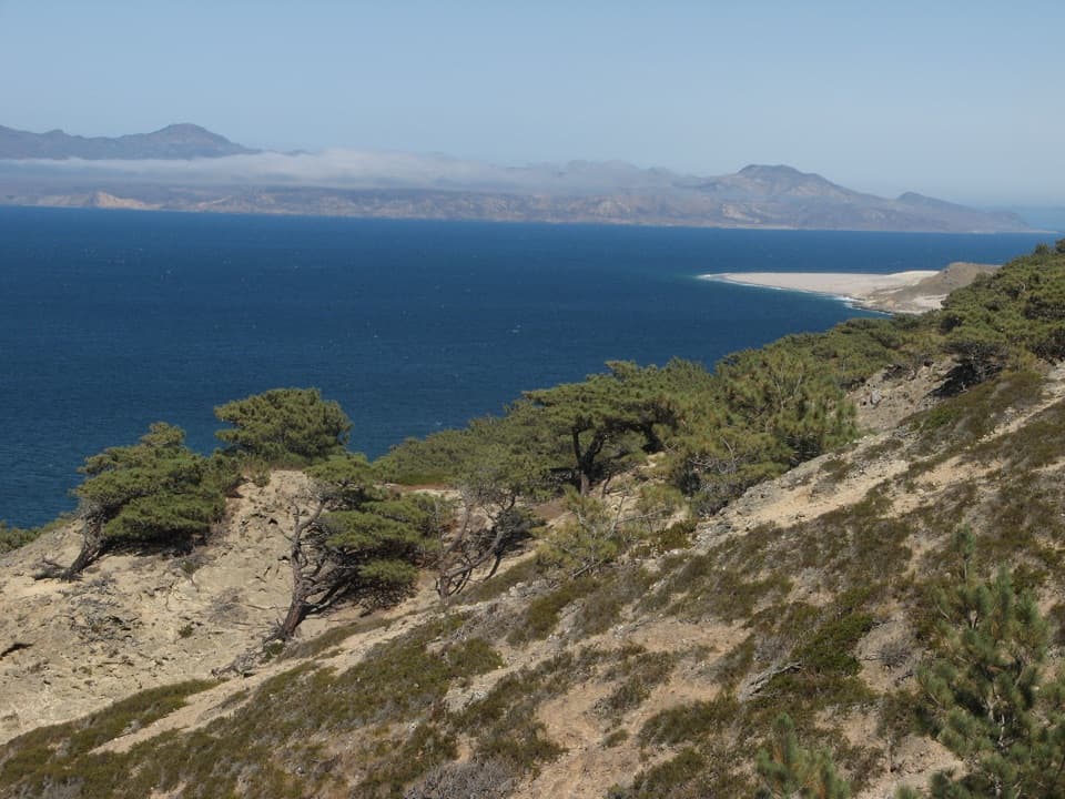
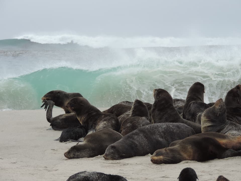
Past the Caliche Forest, the route crosses the slope of Green Hill, then continues over open ground to an airstrip in a dry lake bed used by the marine mammal research station. From the station, the final descent leads to the viewing area above Point Bennett’s beaches. The point is a rocky outcrop joined to the island by a narrow sand spit. Elephant seals, northern fur seals, California sea lions, and harbor seals gather on the nearby beaches; Steller sea lions and Guadalupe fur seals visit occasionally. Bring binoculars and stay at the designated overlook. Framing the rock and spit together helps show the scale of the rookery without approaching its shoreline.
San Miguel Island is open only when park personnel are present, and a permit with liability waiver is required. Visitors must stay on designated routes; beyond the ranger station, a ranger escort is mandatory because unexploded ordnance may remain from the island’s former use as a bombing range. Do not leave the trail or touch suspicious objects. The Point Bennett hike depends on staff availability and may not be offered on a particular visit. There is no potable water and little shade, so bring all the water and food you need for the day. Pets are not allowed ashore. If you want a shorter island walk, the roughly two-mile Cuyler Harbor beach route is a separate option that does not reach Point Bennett.
Wildlife
 2,278 sightingsIsland FoxMost seen around 6 PMSighting map
 284 sightingsHumpback WhaleMost seen around 9 AMSighting map
 79 sightingsBlue WhaleMost seen around 7 AMSighting map
 102 sightingsGrey WhaleMost seen around 8 AMSighting map
 373 sightingsCalifornia Sea LionMost seen around noonSighting map
 106 sightingsBald EagleMost seen around 5 PMSighting map
Sighting maps show where each species has been reported across Channel Islands. Wildlife moves, so no sighting is guaranteed.
Keep exploring
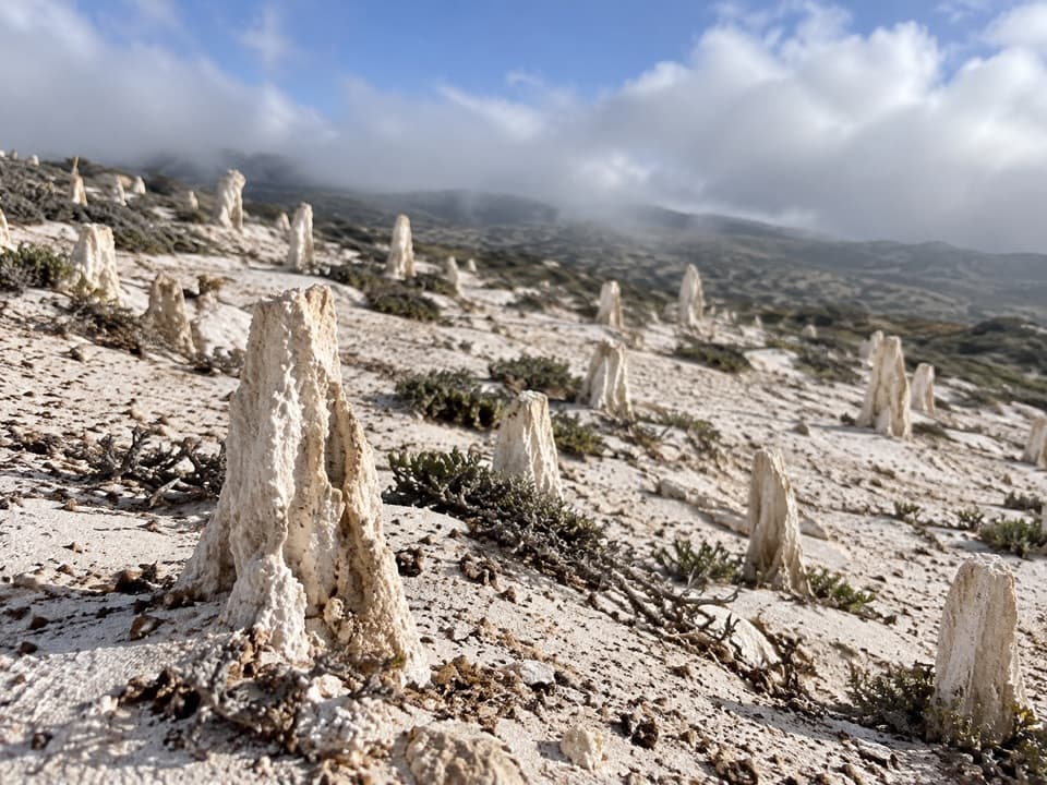 ChallengingCaliche Forest Hike5 mi · 3.5 hr · At the trailheadA ranger-led walk to San Miguel’s forest of calcified roots
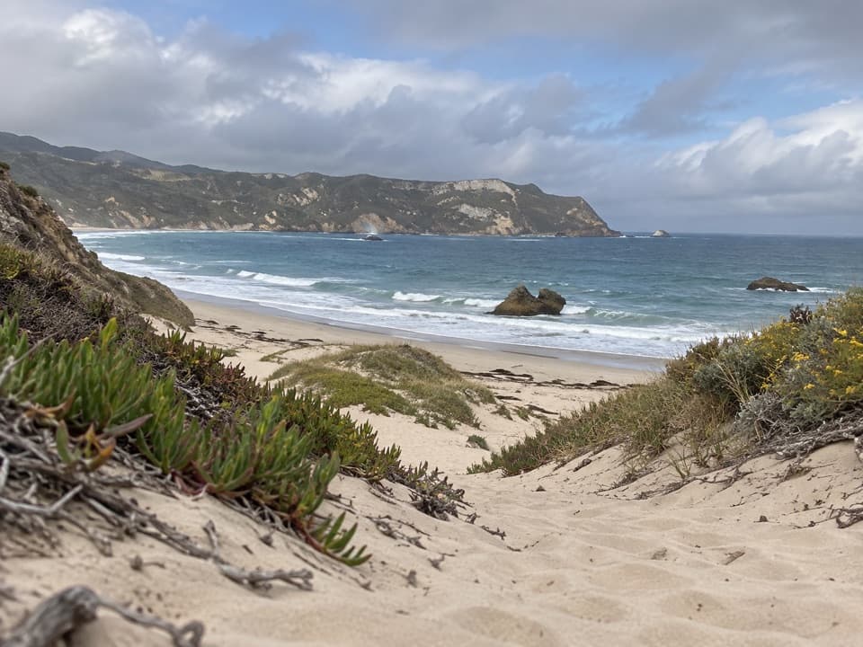 EasyCuyler Harbor Beach Hike2 mi · 1 hr · At the trailheadAn easy walk from Cuyler Harbor along San Miguel's white sand.
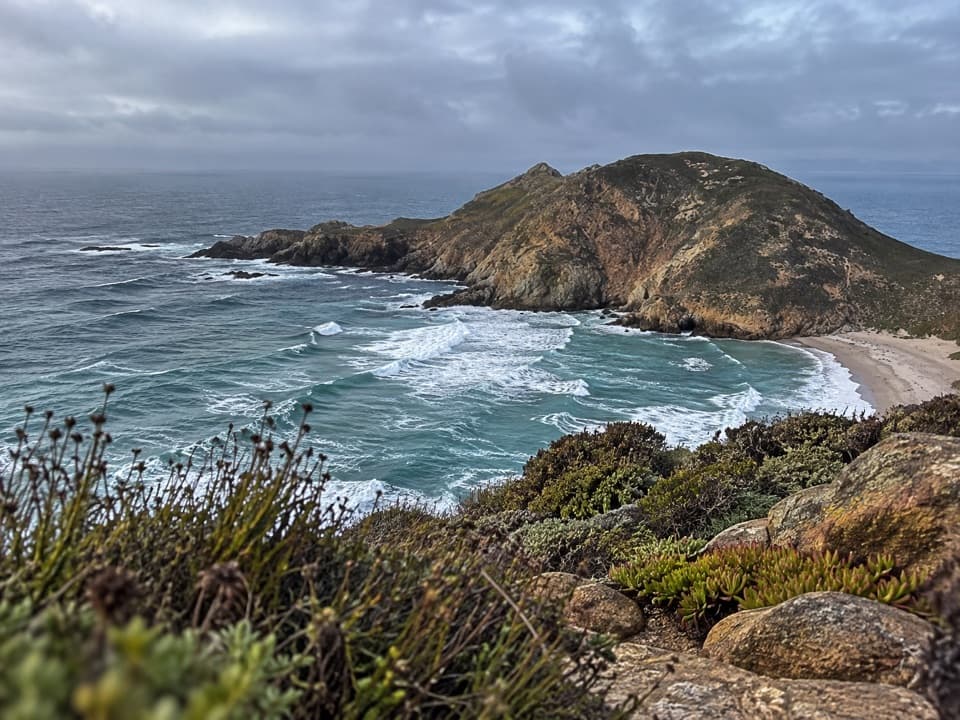 ChallengingLester Point Hike5 mi · 4.5 hr · 0.4 mi awayRanger-escorted ridge walk with views of Harris Point and Simonton Cove.
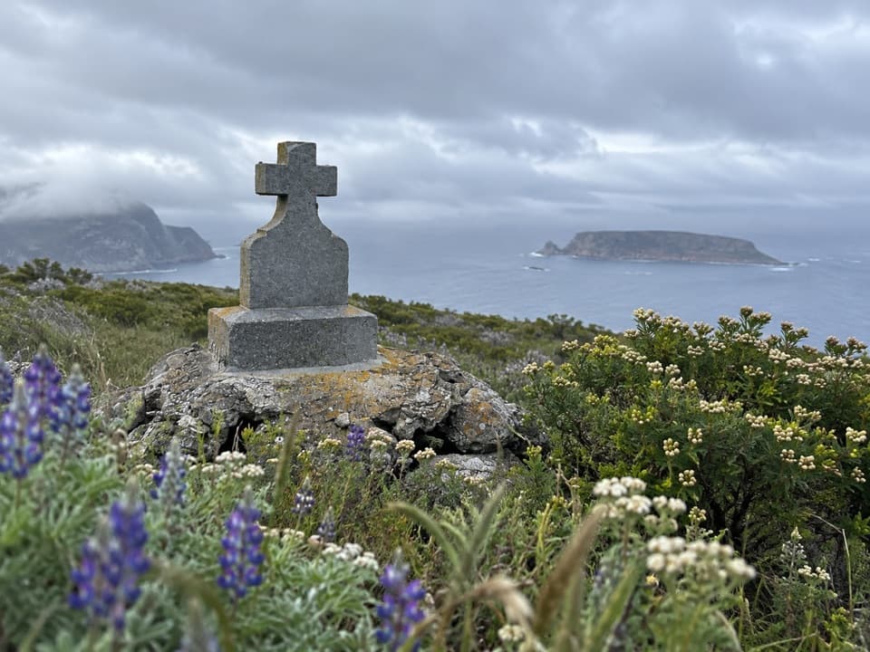 ChallengingCabrillo Monument Hike2 mi · 2 hr · 0.4 mi awayClimb Nidever Canyon to a 1937 monument above Cuyler Harbor.
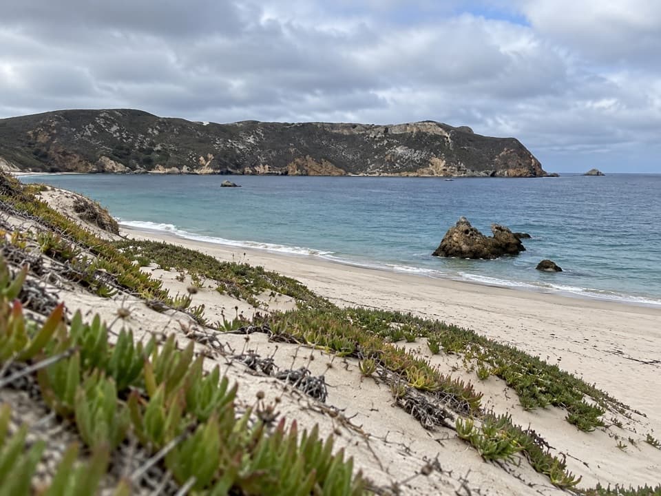 Beach · At the trailheadCuyler Harbor BeachA remote beach that’s San Miguel’s one approved landing.
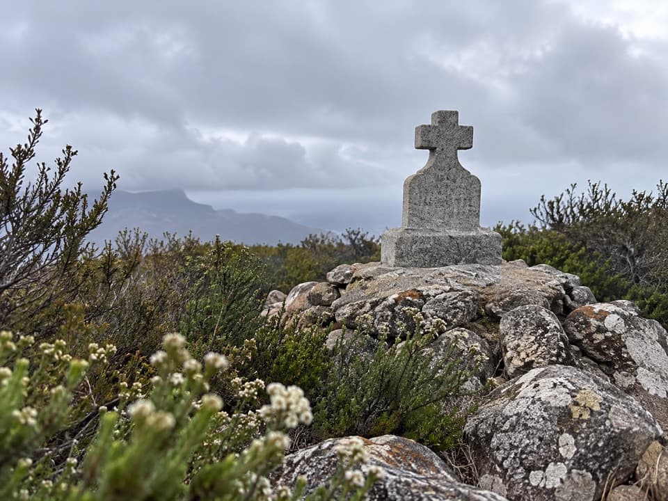 Sight · 0.3 mi awayCabrillo MonumentA stone cross, a contested story, and a steep island climb.
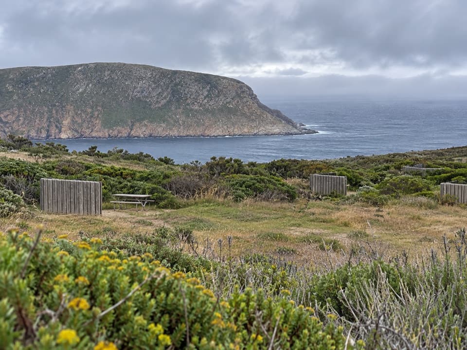 Campground · 0.5 mi awaySan Miguel Island CampgroundNine exposed tent sites above the Pacific, a steep mile uphill.
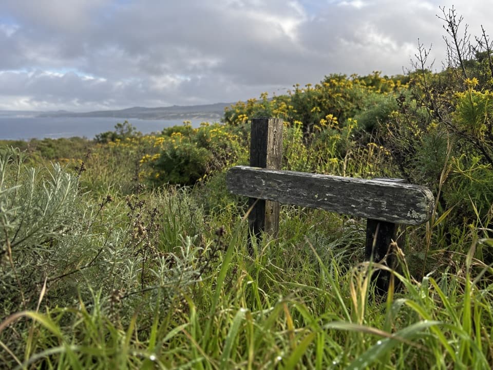 Sight · 0.6 mi awayLester Ranch SiteA ranch built from shipwreck timber, now mostly rubble.
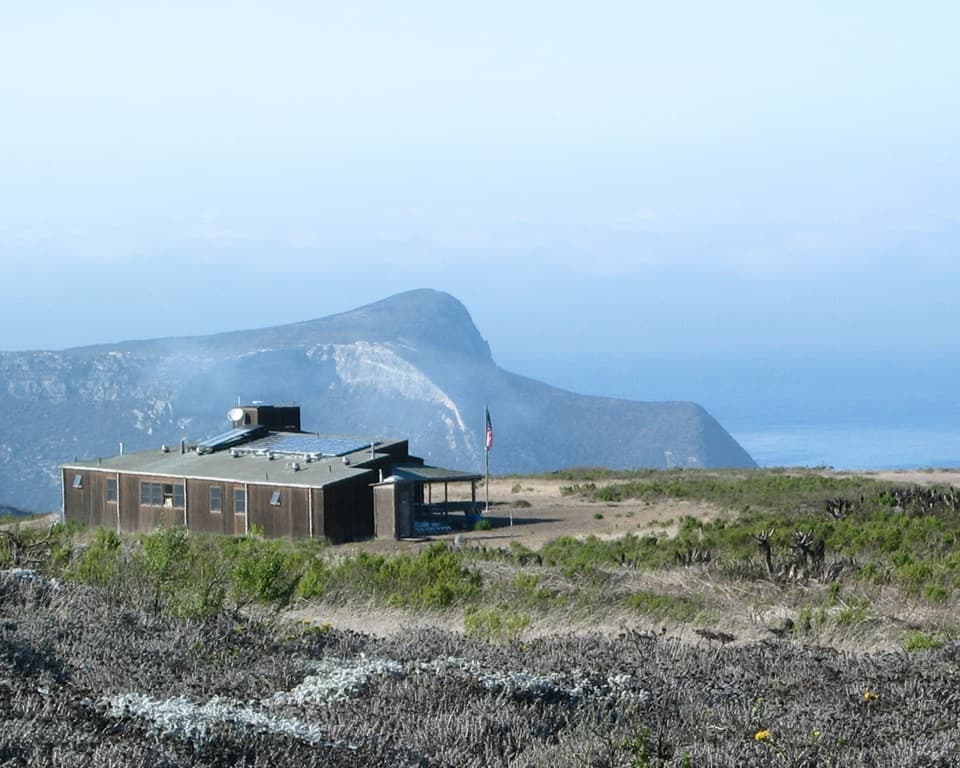 Ranger station · 0.6 mi awaySan Miguel Island Ranger and Visitor Contact StationA working ranger outpost on an island that requires a permit.
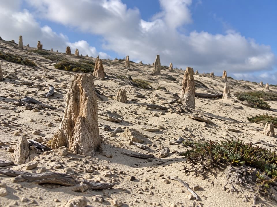 Sight · 1.5 mi awayCaliche ForestA five-mile ranger-escorted walk among ancient white root casts.
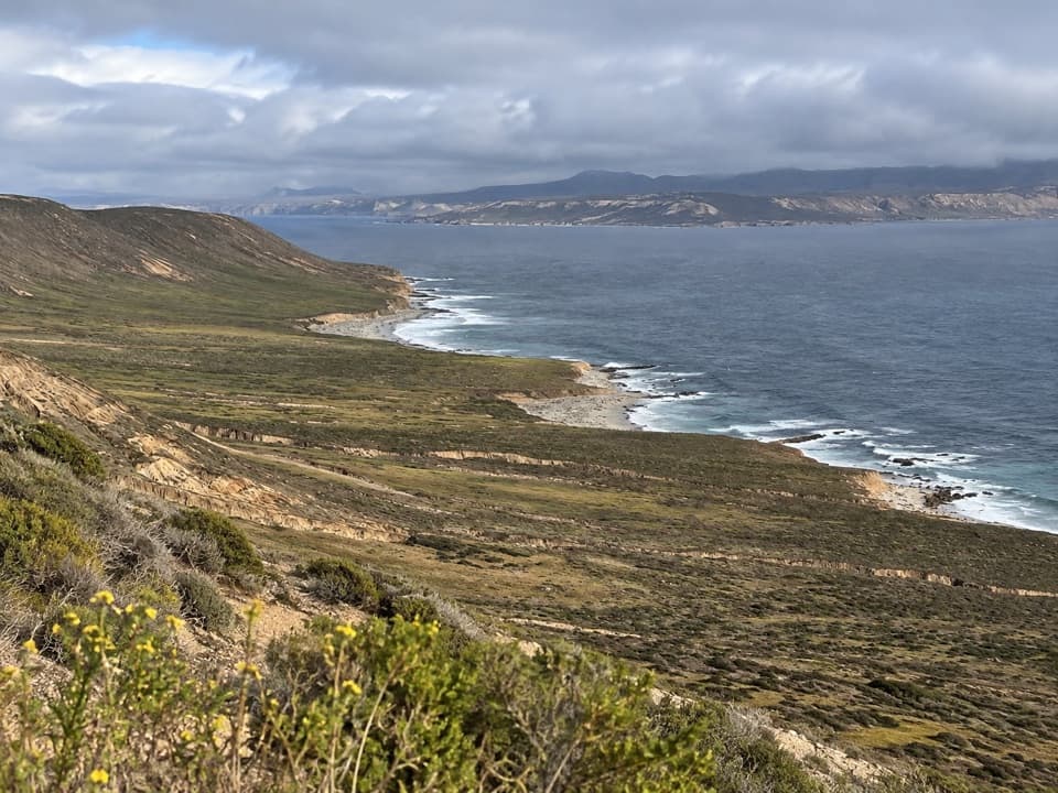 Sight · 1.6 mi awayCrook Point OverlookA strenuous hike for a southeast coast view and an island-fox story.
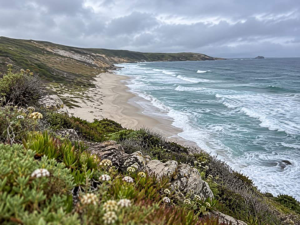 Sight · 1.8 mi awayLester PointA strenuous ranger-led hike to San Miguel’s rugged coastal point.
Parkwolf’s Channel Islands ranking

The audio tour guide for the drive, plus offline maps, trails, and wildlife heatmaps for when the signal drops.