
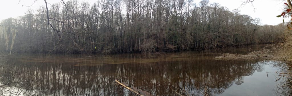
Place · 1.7 mi away
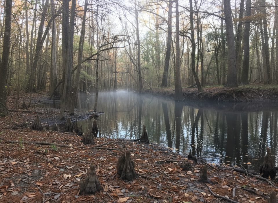
This simple but essential put-in is your doorway to the Cedar Creek Canoe Trail, a winding waterway that snakes through old-growth bottomland forest. From here you can paddle upstream or downstream and retrace your route, threading into side channels and “guts” that make the creek feel wild and maze-like.
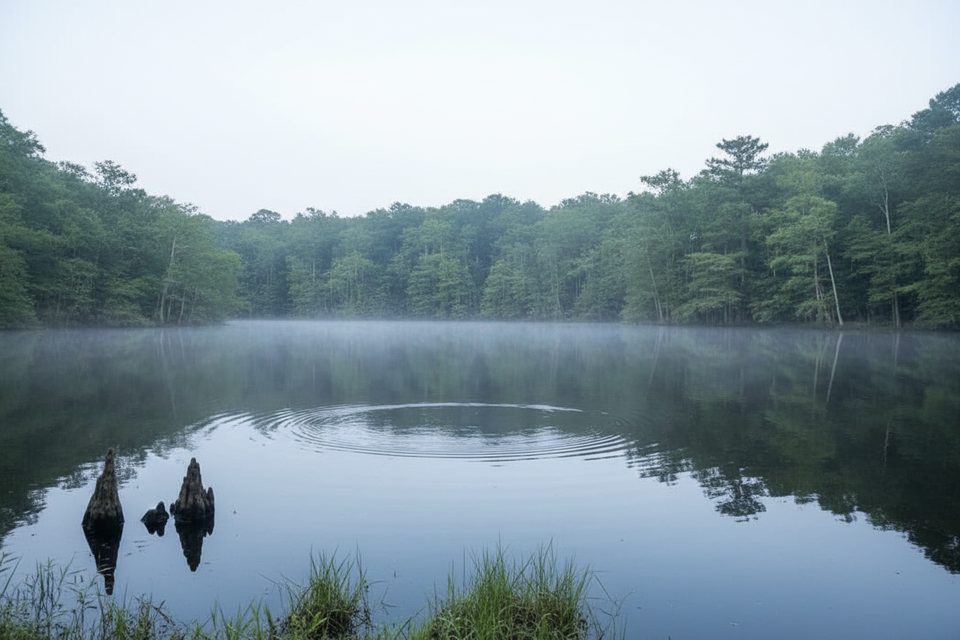
Expect bald cypress and water tupelo rising from blackwater, with cypress knees poking up like chess pieces. It’s quiet, intimate paddling—tight bends, overhanging branches, and the feeling that you’re deep in the swamp even though you parked just up the path.
Keep your eyes peeled for river otters, deer, feral hogs, and barred owls. Songbirds are constant company, and black bears have been reported in the area. Warmer months bring more reptile activity—snakes are part of the scene here, so stay aware.
Trip quality lives and dies by the gauge. The park’s guide pegs 4–7 ft as very good paddling with few portages. At 2.5 ft or less, be ready to carry your boat repeatedly. At 7–8 ft, channels spread and navigation gets tricky; 8 ft or higher is flood stage and strongly discouraged. After heavy runoff, expect shifting channels and tougher route-finding—follow the trail markers carefully.
There’s on-site parking and restrooms at the landing, plus a short gravel path (roughly 50–100 yards) to the creek. The put-in itself can be muddy—plan footwear you don’t mind getting dirty. Local guides frequently start trips here, so you may see outfitter groups loading in.
Aim for days when the gauge sits between 4 and 7 ft—that’s the sweet spot. The landing sees more traffic when guided trips are scheduled and during the park’s synchronous firefly season in late spring, when the stretch between Bannister Bridge and this launch is a hot spot. If solitude matters, plan around those windows.
Place · 1.7 mi away
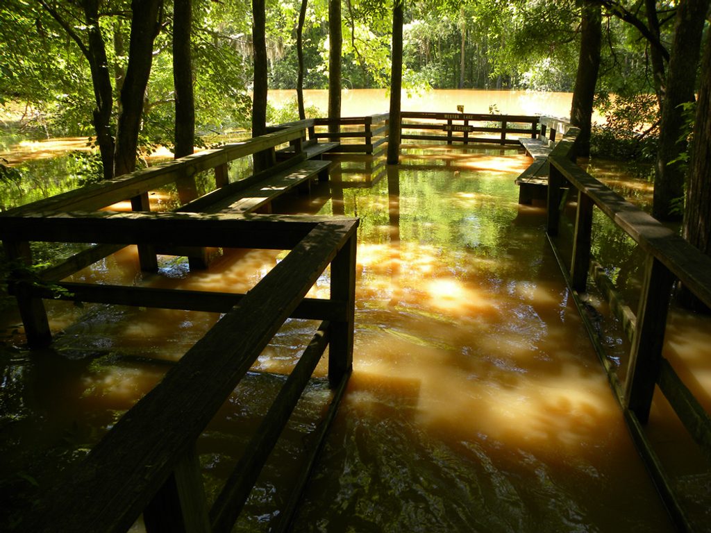
Place · 1.7 mi away
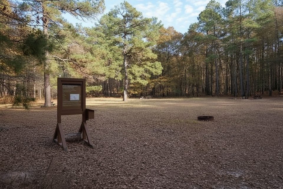
Place · 1.8 mi away
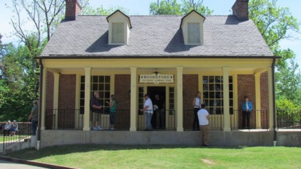
Place · 2.2 mi away
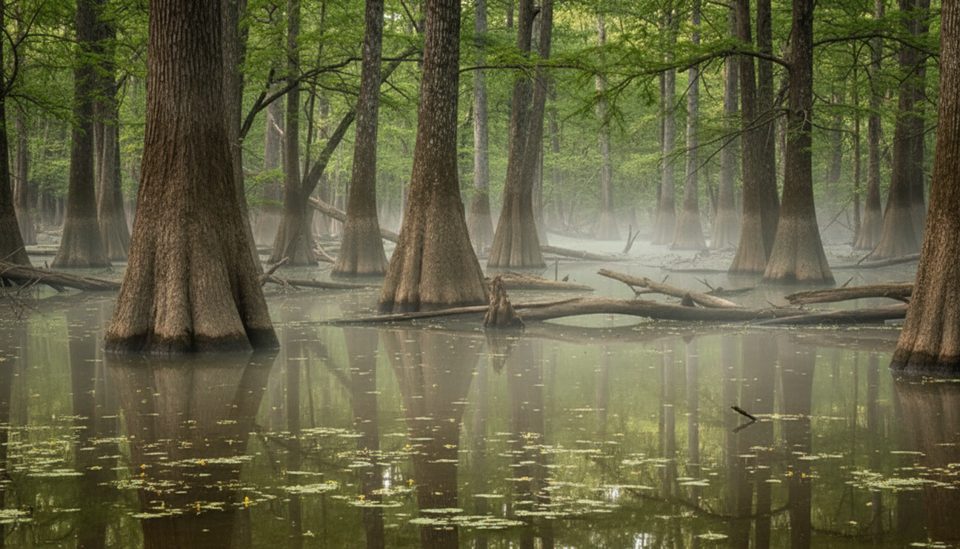
Moderate · 0 mi away
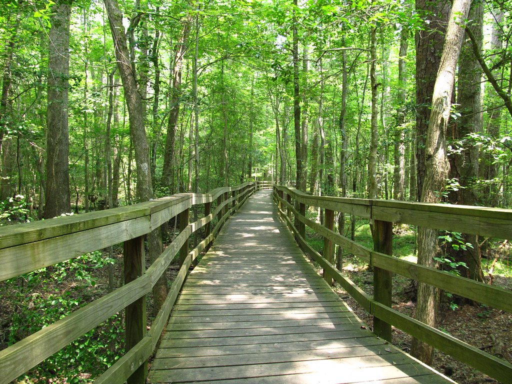
Easy · 2.2 mi away
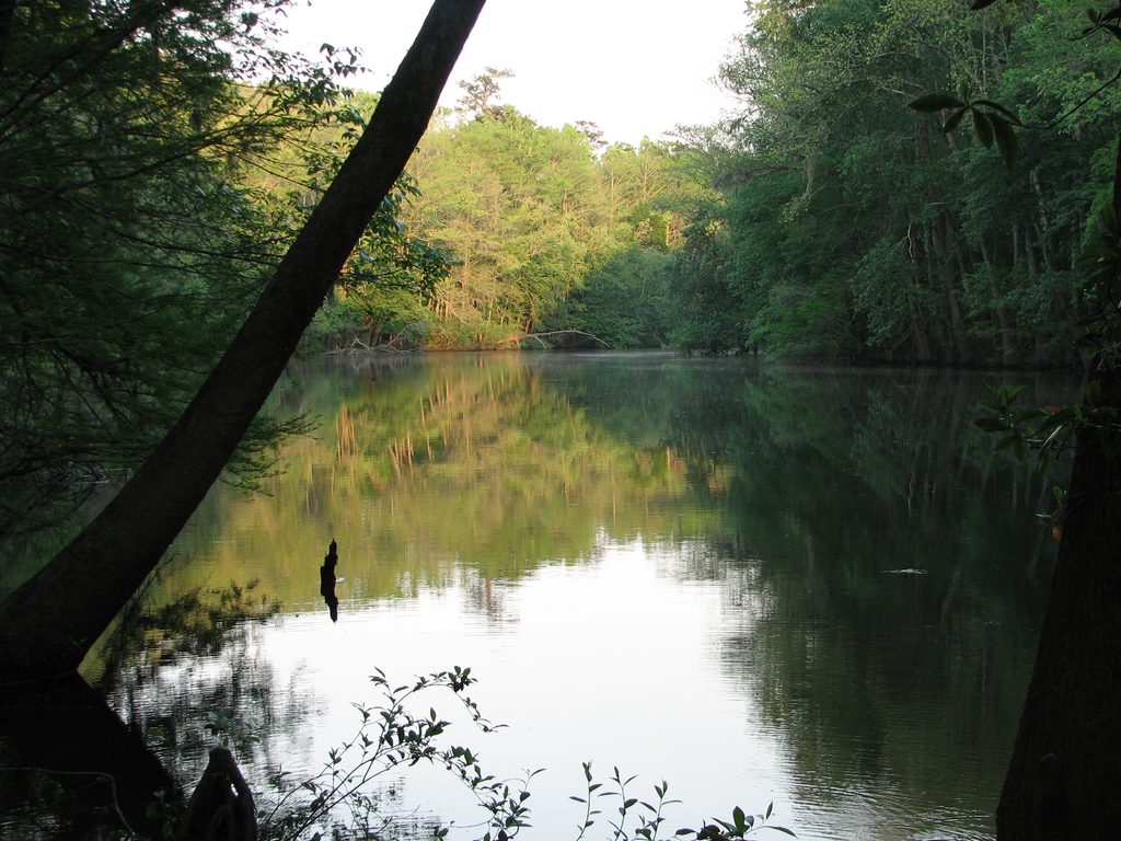
Easy · 2.2 mi away
Moderate · 2.2 mi away

Parkwolf Tour Guide
