Pros & cons
PROS
- Old-growth giants and champion trees close to the tread
- Bridges over blackwater sloughs add atmosphere and wildlife viewing
CONS
- Route can be obscured by blowdowns; navigation relies on frequent markers
- Seasonal flooding can render sections impassable and slow travel
Park at the South Cedar Creek Canoe Launch lot on South Cedar Creek Road (signed "Kingsnake Trail Access").
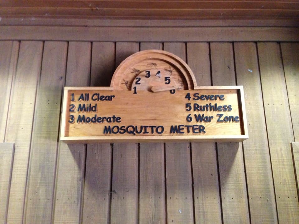
Backcountry conditions with frequent blowdowns and seasonal flooding; keep "6" blazes in sight, expect mud and detours, bring insect protection in summer; remote with no services.
Overview
Kingsnake is Congaree’s backcountry classic: a quiet, relatively flat out-and-back through old-growth bottomland hardwood forest. Plan on roughly 11.7 miles total (out-and-back) if you hike the full route from the South Cedar Creek Canoe Launch. This is the park’s most solitude-rich footpath—expect far fewer people than on the boardwalk or loop trails.
What You’ll See
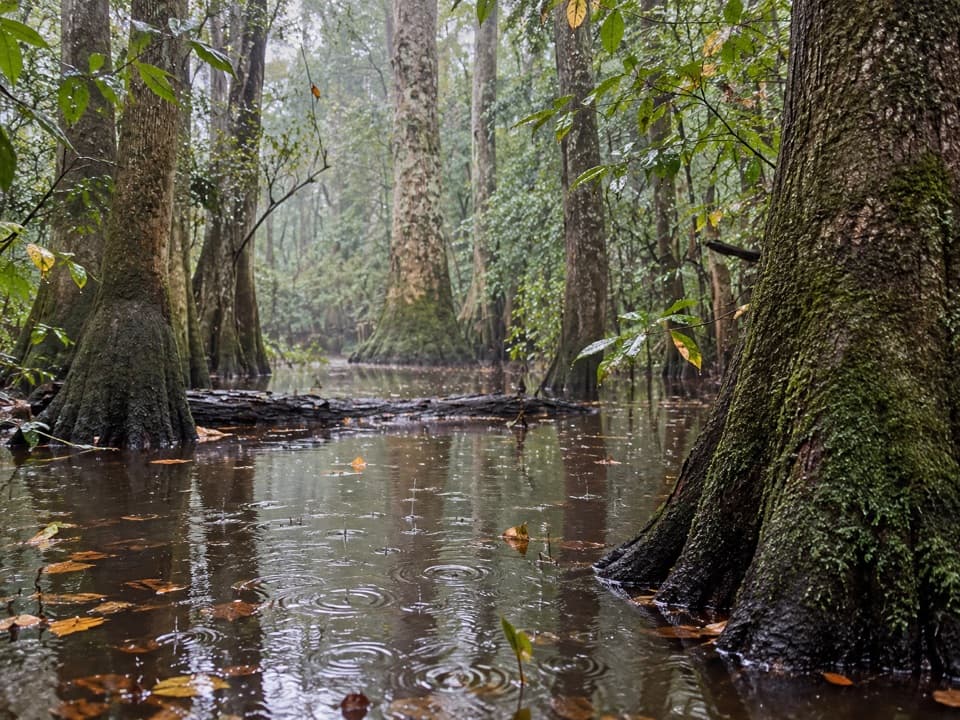
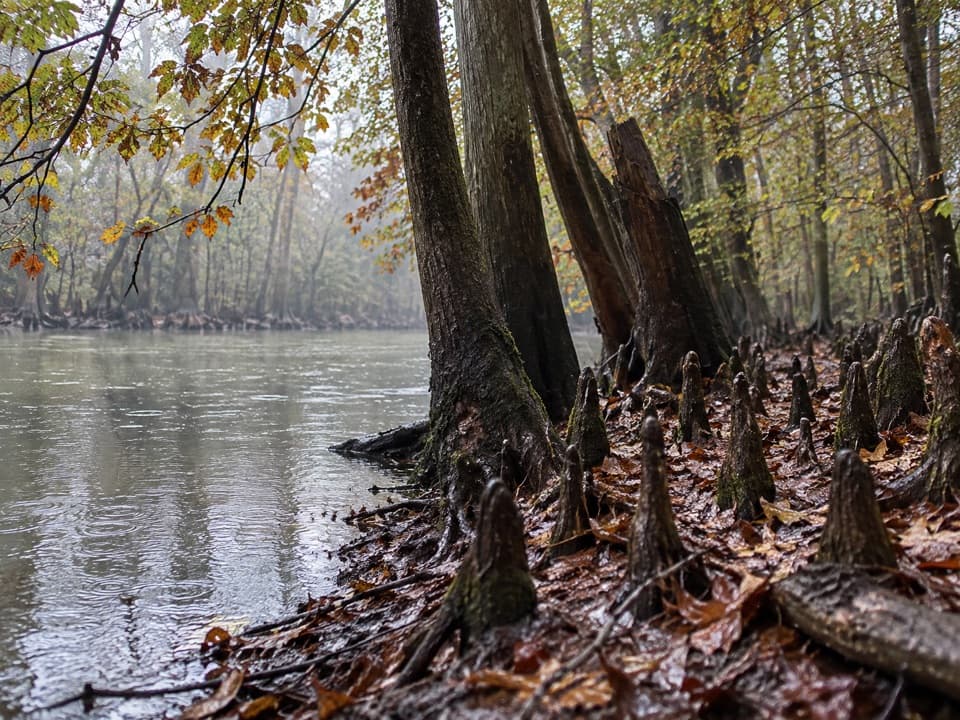
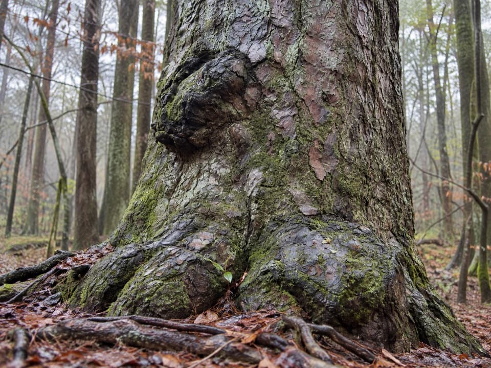
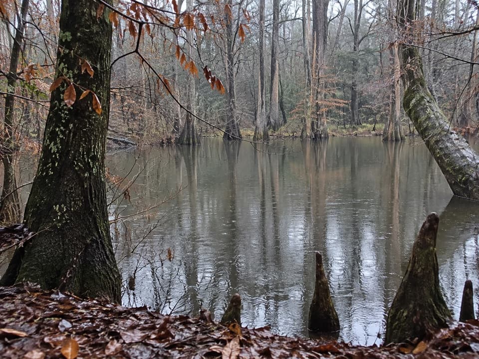
This trail delivers the “Congaree feel”: towering hardwoods and an intricate web of blackwater sloughs and guts, crossed by small bridges that keep your feet dry when water is up. Keep an eye out for notable giants—massive cherrybark oak, a champion-class persimmon, and even a water oak over 18 feet in circumference. The route often parallels Cedar Creek, the park’s famed canoe corridor and an Outstanding National Resource Water.
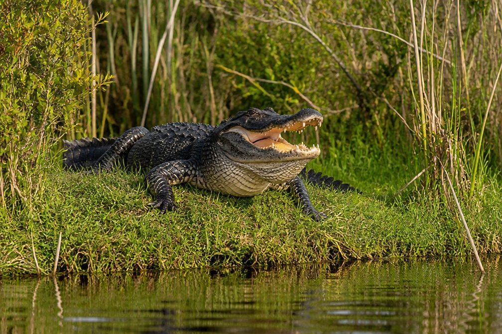
Wildlife watchers do well here. The mix of sloughs, old trees, and quiet travel makes this a favorite for birders and for spotting deer and other critters. You’re walking on alluvial floodplain soils that are regularly reworked by high water—those floods are what fuel this lush, biodiverse forest.
Trail Character
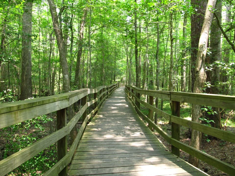
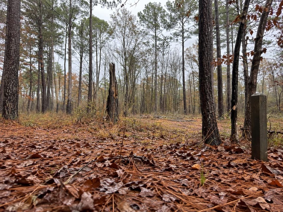
Although the tread is mostly level, Kingsnake is not a groomed path. Past storms and floods have toppled large trees, and you’ll sometimes detour around blowdowns. The park marks the route with frequent “6” blazes on trees about every 25–30 yards—keep them in sight when the tread fades. Some markers include GPS coordinates intended to aid rescue if ever needed. Expect dirt and leaf-litter underfoot, occasional mud, and short boardwalks/bridges at wet crossings.
Best Time to Hike
Late fall, winter, and early spring are prime: cooler temps, fewer bugs, and typically clearer sightlines. Summer can be hot and buggy with heavier vegetation—long sleeves and repellent help. Seasonal flooding (common, especially late winter into spring) can make sections muddy or temporarily impassable, so check conditions and be flexible.
Tips & Comparisons
- Start at the South Cedar Creek Canoe Launch and follow the “6” markers. If you want a taste without the full commitment, the first 1.2 miles makes a pleasant out-and-back sampler.
- Waterproof boots are worth their weight; bring plenty of water and snacks—there are no amenities out here.
- Leashed dogs are allowed and do fine if they’re comfortable with occasional obstacles.
If you prefer a smoother, more curated experience (or you’re short on time), the park’s boardwalk and loop trails offer easier hiking and still deliver great scenery. But for quiet, big trees, and a sense of wild Congaree, Kingsnake earns its reputation.
Elevation
11.7 mi · 6 hrWhere it starts
33.8187, -80.7881Wildlife on this trail
Near Kingsnake Trail
All places →All trails →
0 mi awayCedar Creek Canoe LaunchPrimary put-in for the maze-like Cedar Creek canoe trailPullout · Restroom
1.7 mi awayWeston LakeOpen-water wildlife lookout on the Boardwalk LoopScenic Viewpoint
1.7 mi awayWeston Lake OverlookElevated boardwalk view over a rare open-water oxbow with wildlifeScenic Viewpoint
1.8 mi awayBluff CampgroundSecluded hike-in tent sites with direct access to park trailsCampground · Trailhead
2.2 mi awayBoardwalk LoopFlat boardwalk through ancient floodplain forest and giant treesEasy · 2.4 mi · 1.5 hr
2.2 mi awayWeston Lake Loop TrailShaded loop skirting cypress sloughs and Cedar Creek’s lazy bendsEasy · 4.6 mi · 2 hr
2.2 mi awayOakridge TrailQuiet loop through Congaree’s old-growth ridges and sloughsModerate · 6.6 mi · 3.5 hr
2.2 mi awayRiver TrailFlat, wild floodplain hike to the Congaree River’s sandbar.Moderate · 10 mi · 4 hr